Category Archives: Maps
Nepal
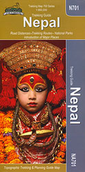
Nepal at 1:950,000 on an indexed map from the Kathmandu-based Nepa Maps (Himalayan MapHouse) with enlargements presenting in more detail the four most visited areas: Mount Everest, Annapurna, Langtang and Helambu, plus Manaslu and Ganesh.The main map presents the country at 1:950,000 on a base derived from satellite imagery, with heights of numerous peaks and
Dunai to Jumla and Rara Lake
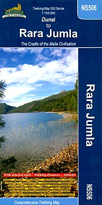
Dunai to Jumla and Rara Lake area at 1:150,000 in the Nepa Maps series which provides extensive coverage of trekking areas of Nepal on detailed contoured maps with trekking routes and hiking trails, huts and camp sites, local places of interest and other tourist information.The map covers a region from Dunai westwards along the trekking
Lhasa to Kathmandu Biking Map
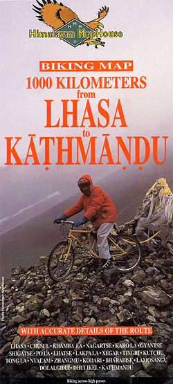
Lhasa to Kathmandu Cycling Map from Nepa, presenting the 1000km route along the main road joining the two cities, across Gyantse/Gyangze, Shigatse/Xigaze, Lhatse/Chushar and Kodari, on three separate panels. Also shown is the spur to the North Everest Base Camp on the Tibetan side. Markings indicate unpaved sections and the route is annotated with symbols
Lukla to Tengboche
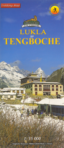
Trekking route from Lukla to Namche Bazar, with alternative routes to either Tengboche or Thame in the Nepa Maps series which provides extensive coverage of trekking areas of Nepal on detailed contoured maps with trekking routes and hiking trails, huts and camp sites, local places of interest and other tourist information.Cartography is based on the
Cho Oyu
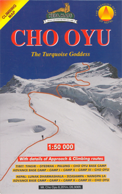
Cho Oyu with approaches from both the Nepali and the Tibetan side in the Nepa Maps series which provides extensive coverage of trekking areas of Nepal on detailed contoured maps with trekking routes and hiking trails, huts and camp sites, local places of interest and other tourist information.Cartography is based on the country’s topographic survey,
Pokhara Valley

Pokhara Valley at 1:50,000 in the Nepa Maps series which provides extensive coverage of trekking areas of Nepal on detailed contoured maps with trekking routes and hiking trails, huts and camp sites, local places of interest and other tourist information.The map shows Pokhara Valley with contours at 20m intervals and relief shading and highlights various
Upper & Lower Mustang
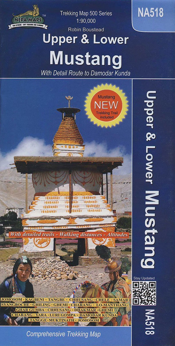
Upper Mustang area at 1:900,000 in the Nepa Maps series which provides extensive coverage of trekking areas of Nepal on detailed contoured maps with trekking routes and hiking trails, huts and camp sites, local places of interest and other tourist information.The map shows trekking routes in the northern part of the Annapurna Conservation Area, from
Naar – Phu
Naar – Phu – Pisang Peak area at 1:60,000 in the Nepa Maps series which provides extensive coverage of trekking areas of Nepal on detailed contoured maps with trekking routes and hiking trails, huts and camp sites, local places of interest and other tourist information.The map covers the eastern part of the Annapurna Conservation area
China South Central
A clear road map of Eastern China and Taiwan. Covering north to south from Xian and Shanghai to the Leizhou Peninsula (including the Hainan Island), and to the west as far as the Xizang Zizhiqu Province and the Myanmar (Burma) borders. It combines clear road details, indicating driving distances, with hillshading and administrative boundaries.Freeways, Highways
Around Annapurna (100K)
The whole of the Annapurna Circuit highlighted on a map at 1:100,000 from Nepa Maps, with alternative variants via the Tilicho Lakes or Naar, treks to the Machhapuchhre and South Annapurna Base Camps, climbing routes to the Chulu Peaks, Pisang Peak and Singu Chuli (Fluted Peak), etc. Coverage extends from Pohkara to Muktinath and Kagbeni
Sikkim
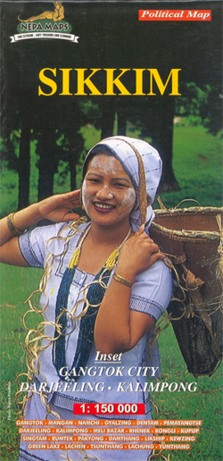
Sikkim at 1:150,000 on an indexed map from Nepa, with more place names than shown on alternative publications, main trekking routes and places of interest, plus street plans of Gangtok, Darjeeling and Kalimpong. The map presents the country’s administrative districts in different colours. There is no relief shading or contours to present the topography, but
Chitwan: Chepang Hills Trail
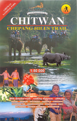
Hiking routes in the Chepang Hills of the Chitwan National Park in the Nepa Maps series which provides extensive coverage of trekking areas of Nepal on detailed contoured maps with trekking routes and hiking trails, huts and camp sites, local places of interest and other tourist information.Cartography is based on the country’s topographic survey, with
Dudhkunda- Pikey Cultural Trail & Rejno Pass Trail (Jiri – Pikey – Everest)
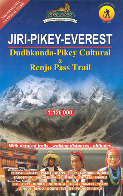
The Khumbu, Solu and Rolwaling regions of Nepal presented at 1:125,000 by Nepa Maps with highlighting of numerous trekking routes. Of main interest in this title are routes in the Solu region south of the main Juri to the Everest BC trek, around the Pikey Peaks, Ringmu, Salleri, Patle, Bung, Deurali, etc, plus a trek
Okavango Delta and Linyanti

Okavango Delta and Linyanti at 1:400,000 from Veronica Roodt Publications, annotated with a list of GPS waypoints, plus numerous enlargements of the most visited areas and very extensive tourist information.On one side is an overview map of the whole area, with a satellite imagery base overprinted with local roads. Also shown are entry gates across
Honduras Protected Areas Map

Protected areas of Honduras on a map at 1:838,000 published by Ramses Ediciones in cooperation with the country’s National Institute of Forest Conservation and Development, Protected Areas and Wildlife (ICF) – Department of Protected Areas and Wildlife (DAP), with detailed classification into 15 categories and a list of the 91 protected areas.On one side is
St. Petersburg Jana Seta Street Plan
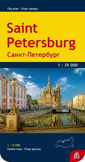
St Petersburg on an indexed street plan from Jana Seta combining coverage of the city with outer suburbs including access to the Pulkovo Airport with a more detailed, very clear map of the city centre prominently highlighting its main sights, metro stations, selected hotels, etc, plus a diagram of the metro network. Names of main


