Category Archives: Maps
Bhairab Kund
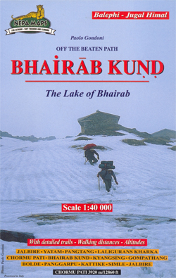
Trekking route from Jalbire to Bhairab Kund in the Nepa Maps series which provides extensive coverage of trekking areas of Nepal on detailed contoured maps with trekking routes and hiking trails, huts and camp sites, local places of interest and other tourist information.Cartography is based on the country’s topographic survey, with contours usually at 40m
Tsum Valley Trekking Map
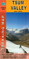
Tsum Valley in central Nepal on an indexed contoured map at 1:100,000 from Shangri-La Design highlighting local trekking routes and places of interest, etc. Coverage extends roughly from the Budhi Gandaki River in the west across the eastern part of the Manaslu Conservation area, to just beyond Dunche in the east.Topography is shown by contours
Uncommon Dubai +: People, Place, Narrative
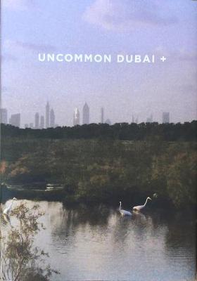
Uncommon Dubai + is a sliver of quotidian and artistic reflections on spaces of change and exchange, imbued with meaning and memory for individuals, communities and diasporas that enrich the city and its neighboring emirates: Weave through insights on the tradition of camel racing, archeological finds of crocodiles in the desert, the uncanny urban corridors
Salalah – Governorate of Dhofar Map
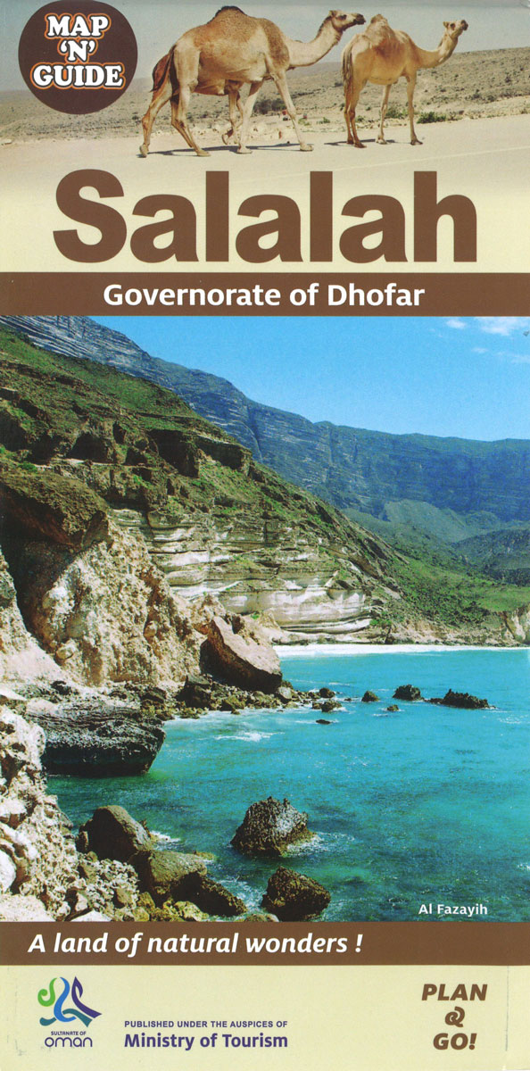
Indexed street plan of Salalah with an enlargement for the city centre, plus a plan of the port area and maps of the city’s environs and the Dhofar province, all annotated with information for visitors. The plan highlights tourist accommodation, public buildings and government offices, various facilities including banks, mosques, souks, petrol stations, etc. A
Oman Map & Guide
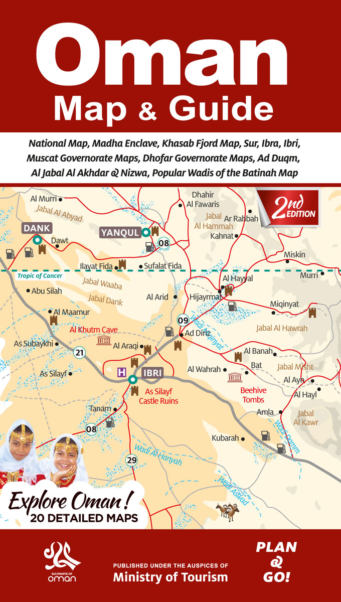
Oman at 1:1,300,000 on a road map from the country’s Ministry of Tourism, accompanied by 20 panels showing in more detail popular tourist areas and main towns with lists of principal sights, plus extensive tourist information including general advice, lists of UNESCO World Heritage sites, caves, etc. The main map at 1:1,300,000 has altitude colouring
The Ultimate Book of Planet Earth
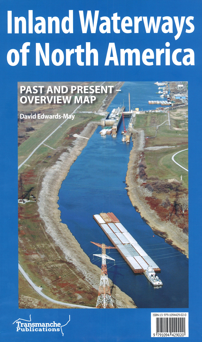
North America Inland Waterways
Caribbean – Central America – Virgin Islands – Bahamas
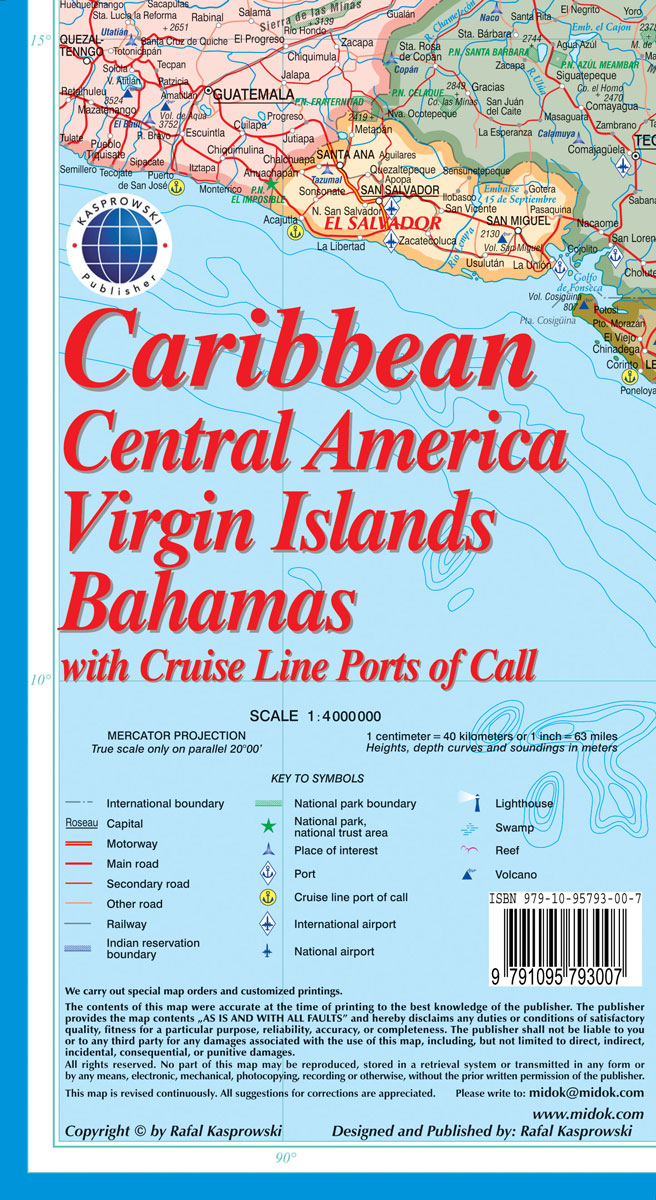
The Caribbean at 1:4,000,000 on a colourful map from Michal Kasprowski, showing both the whole region and 36 enlargements of individual islands. Its unusual feature is the presentation of numerous lighthouses, including many on small islands off the coast of Central America.The map covers the whole region with the surrounding mainland: in USA from Savannah
Ama Dablam
Mt. Everest area on a contoured and GPS-compatible map at 1:40,000 from Nepa Maps, designed to show trekking routes from Namche, Tengboche and Pangboche towards the Ama Dablam and Imja Tse (Island Peak) Base Camps, and the continuation climbing routes towards these two peaks, Lhotse and Lhotse Star.With Thamo and Namche Bazar in the south-western
Aruba
Aruba at 1:28,000 on an indexed map from the Caribbean-based cartographer Michal Kasprowski highlighting numerous diving sites and various places of interest, plus indexed street plans of Oranjestad and San Nicolas.Topography is shown by altitude colouring with spot heights; the area of the Arikok National Park is clearly marked. Road network indicates main roads and
Monastry Circuit Trail
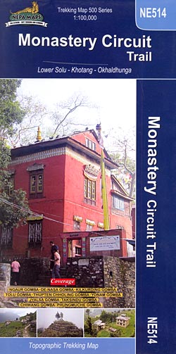
The Monastery Trail south of Lukla at 1:100,000 in the Nepa Maps series which provides extensive coverage of trekking areas of Nepal on detailed contoured maps with trekking routes and hiking trails, huts and camp sites, local places of interest and other tourist information.The map covers an area from Namche Bazar southwards along the Dudh
Bonaire
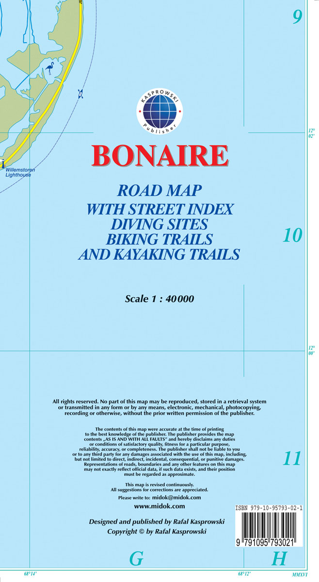
Bonaire at 1:40,000 on a map from the Caribbean-based cartographer Michal Kasprowski highlighting numerous diving sites and various places of interest, plus indexed street plans of the Kralendijk area and Rincon.Topography is shown by altitude colouring with spot heights; the island’s two national parks are clearly marked. Road network indicates main roads and shows secondary
Central Nepal Rafting Map

Central Nepal Rafting and Kayaking Map at 1:500,000 from the Nepa Maps (Himalayan MapHouse) designed to present the country’s river network classified according to the suitability for white water rafting and kayaking, with water volume profiles, etc.This title is part of a series covering Nepal on three maps showing the river network graded into five
Curaรงao
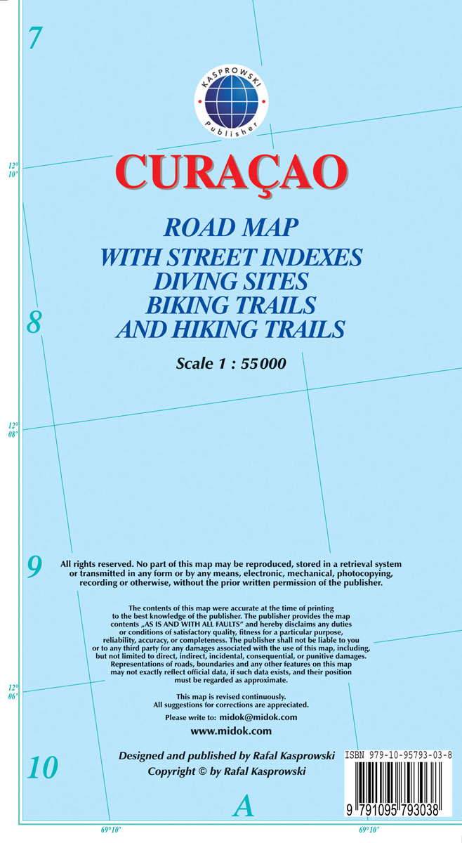
Curaรงao at 1:55,000 on an indexed and GPS compatible map from the Caribbean-based cartographer Michal Kasprowski highlighting numerous diving sites and various places of interest, with street plans of four locations plus on the reverse a more detailed enlargement of the Willemstad urban area.Topography is shown by altitude colouring with spot heights; the Christoffel National
Western Nepal Rafting and Kayaking Map

Western Nepal Rafting and Kayaking Map at 1:500,000 from the Nepa Maps (Himalayan MapHouse) designed to present the country’s river network classified according to the suitability for white water rafting and kayaking, with water volume profiles, etc.This title is part of a series covering Nepal on three maps showing the river network graded into five
Anguilla
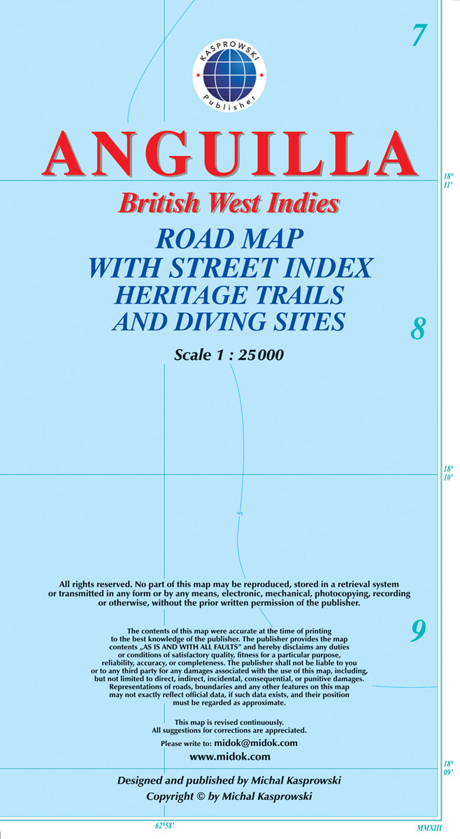
Anguilla at 1:25,000 on an indexed map from the Caribbean-based cartographer Michal Kasprowski highlighting beaches and water sports sites, plus an enlargement at 1:15,000 of The Valley area including the island’s airport. Main roads are highlighted and named and the map also shows names of many smaller local roads and indicates locations of petrol stations.
Cho Oyu
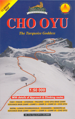
Cho Oyu with approaches from both the Nepali and the Tibetan side in the Nepa Maps series which provides extensive coverage of trekking areas of Nepal on detailed contoured maps with trekking routes and hiking trails, huts and camp sites, local places of interest and other tourist information.Cartography is based on the country’s topographic survey,
Pokhara Valley

Pokhara Valley at 1:50,000 in the Nepa Maps series which provides extensive coverage of trekking areas of Nepal on detailed contoured maps with trekking routes and hiking trails, huts and camp sites, local places of interest and other tourist information.The map shows Pokhara Valley with contours at 20m intervals and relief shading and highlights various
Upper & Lower Mustang
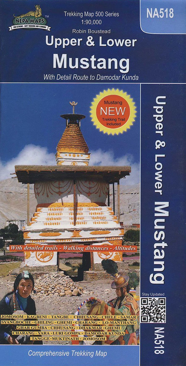
Upper Mustang area at 1:900,000 in the Nepa Maps series which provides extensive coverage of trekking areas of Nepal on detailed contoured maps with trekking routes and hiking trails, huts and camp sites, local places of interest and other tourist information.The map shows trekking routes in the northern part of the Annapurna Conservation Area, from
Naar – Phu
Naar – Phu – Pisang Peak area at 1:60,000 in the Nepa Maps series which provides extensive coverage of trekking areas of Nepal on detailed contoured maps with trekking routes and hiking trails, huts and camp sites, local places of interest and other tourist information.The map covers the eastern part of the Annapurna Conservation area


