Category Archives: Maps
Sikles Trek
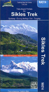
The Sikles Trek from Pokhara north-eastwards into the southern part of the Annapurna Conservation Area presented by Nepa Maps on a map at 1:50,000 with highlighting for the main trail and other trekking routes in the region between Pohkara, Besi Sahar and Sikles. Contour lines are at 40m intervals and the map has latitude and
Providenciales / Provo – Turks & Caicos Islands
Providenciales in the Caicos Islands, also known locally as Provo, on a detailed map at 1:25,000 from the Caribbean-based cartographer Michal Kasprowski with an index of streets and roads, plus a list of diving sites. The island is home to the majority of the population of the Turks and Caicos Islands and the location of
Tilicho Hidden Lake
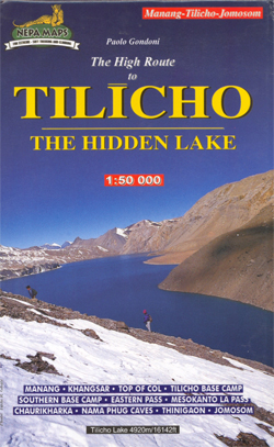
Tilicho Lake on the northern slopes of the Annapurna massif at 1:50,000 in the Nepa Maps series which provides extensive coverage of trekking areas of Nepal on detailed contoured maps with trekking routes and hiking trails, huts and camp sites, local places of interest and other tourist information.The map covers the trekking route from Jomosom/Jomsom
Dominica
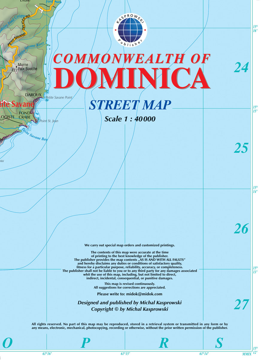
Dominica at 1:40,000 on a map from the Caribbean-based cartographer Michal Kasprowski highlighting 41 diving sites, plus indexed street plans of the Lagon – Portsmouth – Glanvilla, Mรฉro – St. Joseph, Roseau, and Wallhouse -Loubiere areas. Road network highlights main roads and shows secondary roads and local tracks or footpaths. Symbols indicate places of worship
Lukla to Gokyo – Cho-La – Renjo-La – Nagpa-La
Saint Lucia
Saint Lucia at 1:45,000 on an indexed map from the Caribbean-based cartographer Michal Kasprowski listing 33 diving sites, plus street plans of Castries, Soufriรจre, Gros Islet and Vieux Fort. Topography is shown by altitude colouring and contours at 50m intervals. Along the coast coral reefs are marked and diving sites are highlighted. Road network includes
St Eustatius / Statia

The Dutch island of St Eustatius, also affectionately known by the locals as Statia or Statius, on a detailed map at 1:10,000 from the Caribbean-based cartographer Michal Kasprowski, with an index of streets and roads plus lists of diving and snorkelling sites in the island’s coastal waters.The map provides a very vivid picture of the
St. Kitts and Nevis
The islands of St. Kitts (at 1:30,000) and Nevis (at 1:20,000) on a map from the Caribbean-based cartographer Michal Kasprowski highlighting beaches and water sports sites, plus street plans of central Bassesterre and Charlestown. Each island is on one side of the map, accompanied by the relevant street plan. Topography is presented by contours with
Saba (Dutch Antilles)
The island of Saba in the Netherlands Antilles at 1:7,000 on a map from the Caribbean-based cartographer Michal Kasprowski highlighting beaches and water sports sites. Topography is presented by contours with hill shading and altitude colouring. The map shows local roads and cart tracks, indicating locations of car parks and petrol stations. Also marked are
Saint Martin / Sint Maarten
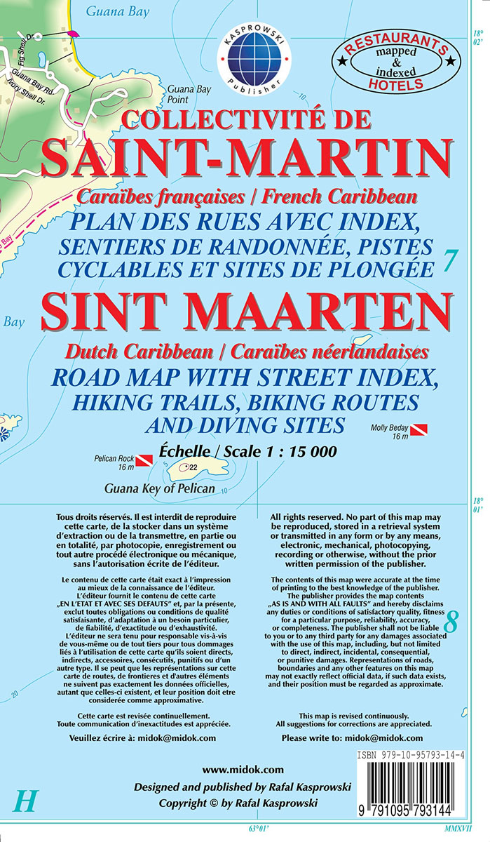
Saint-Martin/Sint Maarten at 1:15,000 on an indexed map from the Caribbean-based cartographer Michal Kasprowski highlighting beaches and water sports sites, with street plans of Marigot and Philipsburg. Main roads are highlighted and named and the map also shows names of many smaller local roads and streets in build-up areas. Also marked are cart tracks and
Istanbul Mepmedya Tourist Plan

Istanbul’s central districts on a tourist plan from the locally based publishers Mapmedya Yayinlari, highlighting the city’s numerous sights and providing on the reverse brief descriptions of 24 most popular places, many illustrated with colour photos.The plan covers all the city’s most visited districts on both sides of the Golden Horn and on the Asian
Naya Kanga
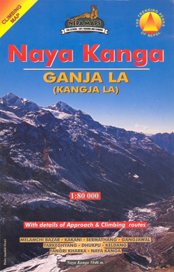
Routes from Kathmandu to the Langtang Valley, with an enlargement for the Naya Kanga massif, in the Nepa Maps series which provides extensive coverage of trekking areas of Nepal on detailed contoured maps with trekking routes and hiking trails, huts and camp sites, local places of interest and other tourist information.Cartography is based on the
Pisang Peak
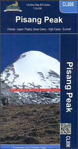
Trekking routes to the Pisang Peak from the northern part of the Annapurna Circuit presented on a contoured and GP compatible map at 1:50,000 from Nepa Maps with a vivid presentation of the region’s mountainous terrain. The Annapurna Circuit is clearly highlighted on the map, which covers it from Thoche east of Chame, past Manang,
Ama Dablam
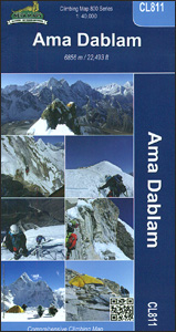
Mt. Everest area on a contoured and GPS-compatible map at 1:40,000 from Nepa Maps, designed to show trekking routes from Namche, Tengboche and Pangboche towards the Ama Dablam and Imja Tse (Island Peak) Base Camps, and the continuation climbing routes towards these two peaks, Lhotse and Lhotse Star.With Thamo and Namche Bazar in the south-western
Aruba

Aruba at 1:28,000 on an indexed map from the Caribbean-based cartographer Michal Kasprowski highlighting numerous diving sites and various places of interest, plus indexed street plans of Oranjestad and San Nicolas.Topography is shown by altitude colouring with spot heights; the area of the Arikok National Park is clearly marked. Road network indicates main roads and
Monastry Circuit Trail
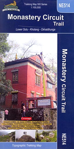
The Monastery Trail south of Lukla at 1:100,000 in the Nepa Maps series which provides extensive coverage of trekking areas of Nepal on detailed contoured maps with trekking routes and hiking trails, huts and camp sites, local places of interest and other tourist information.The map covers an area from Namche Bazar southwards along the Dudh
Bonaire
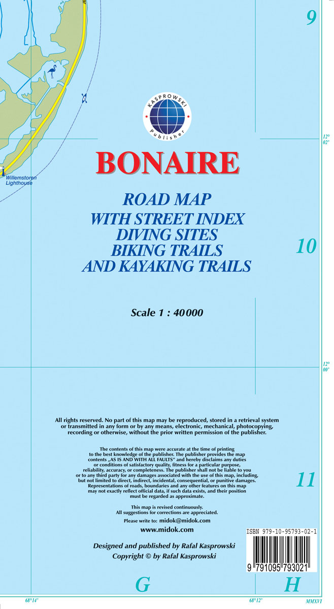
Bonaire at 1:40,000 on a map from the Caribbean-based cartographer Michal Kasprowski highlighting numerous diving sites and various places of interest, plus indexed street plans of the Kralendijk area and Rincon.Topography is shown by altitude colouring with spot heights; the island’s two national parks are clearly marked. Road network indicates main roads and shows secondary


