Category Archives: Maps
Devon
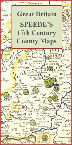
Devon in a series of colourful reproductions of attractive county maps by John Speede from about 1610-1611, printed on thick art paper and ideal for framing. Each title, 58 x 45cm / approx. 23″ x 18″, is decorated with additional notes, drawings, coats of arms, street plans, etc.Little drawings are used to show locations of
Makalu Base Camp
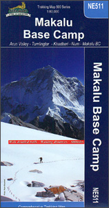
Trekking route from Tumlingtar to the Makalu Base Camp presented on a map at 1:80,000 from Nepa Maps, plus other routes across the Makalu Barun National Park. Coverage extends from Tumlingtar to the Island Peak in the north-western corner and Barun Dovan in the east. Contours are at 40m intervals. Margin ticks show latitude and
Dorset

Dorset in a series of colourful reproductions of attractive county maps by John Speede from about 1610-1611, printed on thick art paper and ideal for framing. Each title, 58 x 45cm / approx. 23″ x 18″, is decorated with additional notes, drawings, coats of arms, street plans, etc.Little drawings are used to show locations of
Helambu Trail

Trekking routes in the Helambu region south of the Langtang National Park in the Nepa Maps series which provides extensive coverage of trekking areas of Nepal on detailed contoured maps with trekking routes and hiking trails, huts and camp sites, local places of interest and other tourist information.Cartography is based on the country’s topographic survey,
Gloucestershire

Gloucestershire in a series of colourful reproductions of attractive county maps by John Speede from about 1610-1611, printed on thick art paper and ideal for framing. Each title, 58 x 45cm / approx. 23″ x 18″, is decorated with additional notes, drawings, coats of arms, street plans, etc.Little drawings are used to show locations of
Kanchenjunga
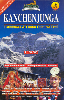
Trekking routes in the far north-east of Nepal in the Nepa Maps series which provides extensive coverage of trekking areas of Nepal on detailed contoured maps with trekking routes and hiking trails, huts and camp sites, local places of interest and other tourist information.Cartography is based on the country’s topographic survey, with contours usually at
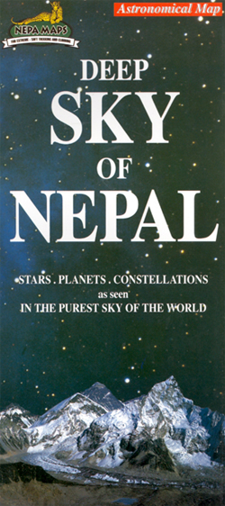
Nepal Sky Map
Nepal Geological Map
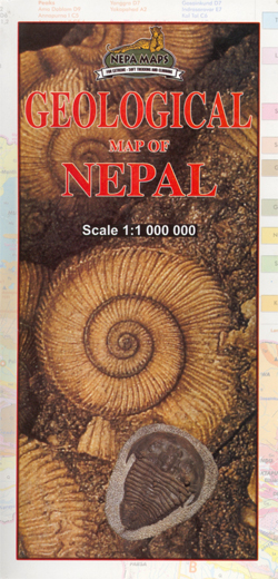
Geological map of Nepal from Nepa Maps, presenting the country on a base map with numerous peaks and passes, main towns, districts and the road network. The legend, all in English, divides the information into geographical groups: Siwalik, Surkhet, Mid Land, Kathmandu, Jaljala, Dadeldhura and Himal, each sub-divided into sub-groups and formations. Also included are
Dushanbe
Dushanbe street plan from the locally based S.U.E. Map Factory providing both coverage of the whole city and a more detailed plan of its centre, plus information on selected hotels and other facilities, all in English.On one side is a street plan showing the whole city at 1:18,000. On the reverse the city centre is
Bhutan Political Map – The Land of the Thunder Dragon
Bhutan on an indexed general map at 1:400,000 from the Kathmandu-based Nepa Maps, showing the country’s administrative dzongkhags (districts) in different colours and with subdivisions into gewogs. Presentation of the road network emphasises main roads and, although selected trekking trails are also marked, several locations are shown on the map without any access to them.
Kailas – Manasarovar
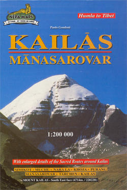
Mt Kailas and Lake Manasarovar on a detailed map from Nepa, showing access to the region by a trekking route from Simikot in Nepal. An enlargement shows Mt Kailas circuit at 1:66,000, highlighting sacred places around the mountain.The map extends from Simikot in the upper Humla Karnali valley to Mount Kailas and beyond it to
From Lhasa to Kailas
Clear, easy to read map covering the whole of Tibet with all but the south-eastern corner of Nepal. Relief shading, with main peaks and passes prominently marked, indicates the topography. The map shows towns and settlements, roads and local airports. An index of localities includes peaks and passes. The map also includes a street plan
Ganesh Himal – Paldor Base Camp
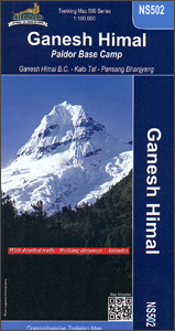
Ganesh Himal region of Nepal at 1:100,000 on a map from Nepa Maps highlighting numerous trekking routes, including treks to the Ganesh Himal (Yangra) and the Paldor (Bhrange) Base Camps. Coverage extends from south of Trisuli Bazar and Nuwakot northwards to the Siyar Khola Valley, and east to the Rasuwagadhi crossing to Tibet. Contour lines
Biking Around Annapurna
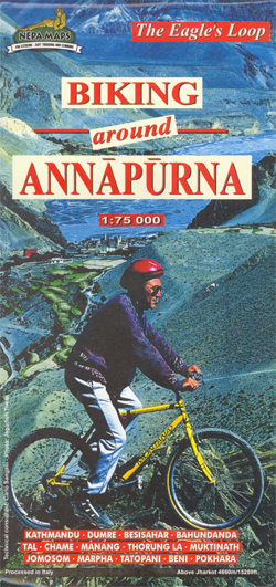
Annapurna Cycling Circuit from Nepa Maps, shown on a series of panels at 1:75,000 with detailed information of the difficulty of the terrain indicating sections where the bike has to be carried or pushed, overnight stops, altitude profiles, etc.A general map at 1:227,000 with relief shading shows the whole of the Eagle’s Loop biking circuit
Tatopani Trek
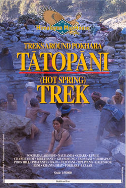
Tatopani Trek in the hot springs area north-west of Pokhara at 1:50,000 in the Nepa Maps series which provides extensive coverage of trekking regions of Nepal on detailed contoured maps with trekking routes and hiking trails, huts and camp sites, local places of interest and other tourist information.The map covers an area which includes Ghandrung
Chulus
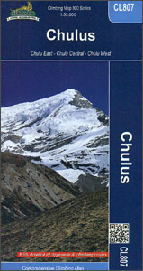
Trekking routes to the Chulu peaks from the northern part of the Annapurna Circuit presented on a contoured and GP compatible map at 1:50,000 from Nepa Maps with a vivid presentation of the region’s mountainous terrain. The Annapurna Circuit is clearly highlighted on the map, which covers it from Thoche east of Chame, past Manang,
Argentina South & Tierra del Fuego ITMB
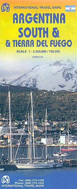
Southern Argentina at 1:2,200,000 on a double-sided map from ITMB with, on the reverse, more detailed coverage of the whole Tierra del Fuego archipelago, including the Chilean side, at 1:750,000, plus a street plan of central Ushuaia.On one side is Patagonia, with coverage extending northwards to just south of Buenos Aires. Altitude colouring shows the
Sikles Trek
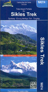
The Sikles Trek from Pokhara north-eastwards into the southern part of the Annapurna Conservation Area presented by Nepa Maps on a map at 1:50,000 with highlighting for the main trail and other trekking routes in the region between Pohkara, Besi Sahar and Sikles. Contour lines are at 40m intervals and the map has latitude and
Providenciales / Provo – Turks & Caicos Islands
Providenciales in the Caicos Islands, also known locally as Provo, on a detailed map at 1:25,000 from the Caribbean-based cartographer Michal Kasprowski with an index of streets and roads, plus a list of diving sites. The island is home to the majority of the population of the Turks and Caicos Islands and the location of


