Category Archives: Maps
Mugello – Alto Mugello 25K Ed. Multigraphic Map No. 28
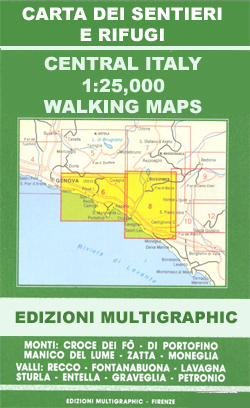
Mugello – Alto Mugello, map no. 28, in a series of walking maps covering the Ligurian Alps and the coast, the crest of the Apennines along the border of Tuscany with its neighbouring regions, and parts of Tuscany itself. Most maps have contours at 25-metre intervals, with colouring for forests and some relief shading. The
Lancashire
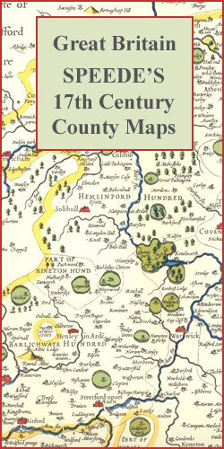
Lancashire in a series of colourful reproductions of attractive county maps by John Speede from about 1610-1611, printed on thick art paper and ideal for framing. Each title, 58 x 45cm / approx. 23″ x 18″, is decorated with additional notes, drawings, coats of arms, street plans, etc.Little drawings are used to show locations of
Red Sea Wall Map
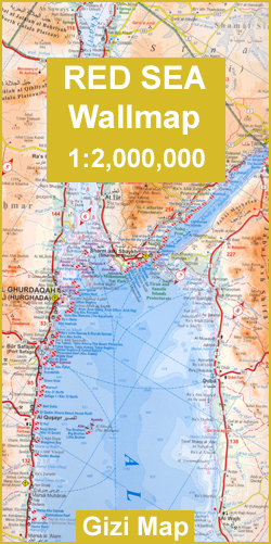
Red Sea Wall Map at 1:2,000,000 from Gizi Map with lists of diving sites and wrecks along its shores, an enlargement of southern Sinai and its coastal waters, plus street plans of Sharm el Sheikh and Hurghada with tourist information.Coverage extends from Port Said and the Suez Canal beyond the Bab-el-Mandeb Straights to Djibouti City
Leicestershire

Leicestershire in a series of colourful reproductions of attractive county maps by John Speede from about 1610-1611, printed on thick art paper and ideal for framing. Each title, 58 x 45cm / approx. 23″ x 18″, is decorated with additional notes, drawings, coats of arms, street plans, etc.Little drawings are used to show locations of
Comunita Montana del Fortore
Fortore commune in the mountains along the north-eastern corner of Campania on a detailed, countered map at 1:50,000 from Ed. Abies, with notes about the area and other tourist information. The map is centered on the villages of Molinara, Montefalcone di Valforte and Foiano di Valfortre, with the town of Benevento in its south-western corner.Contours
Middlesex

Middlesex in a series of colourful reproductions of attractive county maps by John Speede from about 1610-1611, printed on thick art paper and ideal for framing. Each title, 58 x 45cm / approx. 23″ x 18″, is decorated with additional notes, drawings, coats of arms, street plans, etc.Little drawings are used to show locations of
Cagliari and Golfo degli Angeli
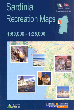
Cagliari and Golfo degli Angeli area in a series of contoured, GPS compatible maps at 1:60,000 from Ed. Abies, with extensive tourist information including special recreational routes plus additional coverage at more detailed scales of selected popular areas.*Main series at 1:60,000 (Nos. 1 to 12)*The maps have contours at 100m intervals and colouring for woodlands
Norfolk

Norfolk in a series of colourful reproductions of attractive county maps by John Speede from about 1610-1611, printed on thick art paper and ideal for framing. Each title, 58 x 45cm / approx. 23″ x 18″, is decorated with additional notes, drawings, coats of arms, street plans, etc.Little drawings are used to show locations of
Oxfordshire

Oxfordshire in a series of colourful reproductions of attractive county maps by John Speede from about 1610-1611, printed on thick art paper and ideal for framing. Each title, 58 x 45cm / approx. 23″ x 18″, is decorated with additional notes, drawings, coats of arms, street plans, etc.Little drawings are used to show locations of
Somerset

Somerset in a series of colourful reproductions of attractive county maps by John Speede from about 1610-1611, printed on thick art paper and ideal for framing. Each title, 58 x 45cm / approx. 23″ x 18″, is decorated with additional notes, drawings, coats of arms, street plans, etc.Little drawings are used to show locations of
Shropshire

Shropshire in a series of colourful reproductions of attractive county maps by John Speede from about 1610-1611, printed on thick art paper and ideal for framing. Each title, 58 x 45cm / approx. 23″ x 18″, is decorated with additional notes, drawings, coats of arms, street plans, etc.Little drawings are used to show locations of
Staffordshire

Staffordshire in a series of colourful reproductions of attractive county maps by John Speede from about 1610-1611, printed on thick art paper and ideal for framing. Each title, 58 x 45cm / approx. 23″ x 18″, is decorated with additional notes, drawings, coats of arms, street plans, etc.Little drawings are used to show locations of
Suffolk

Suffolk in a series of colourful reproductions of attractive county maps by John Speede from about 1610-1611, printed on thick art paper and ideal for framing. Each title, 58 x 45cm / approx. 23″ x 18″, is decorated with additional notes, drawings, coats of arms, street plans, etc.Little drawings are used to show locations of
Warwickshire

Warwickshire in a series of colourful reproductions of attractive county maps by John Speede from about 1610-1611, printed on thick art paper and ideal for framing. Each title, 58 x 45cm / approx. 23″ x 18″, is decorated with additional notes, drawings, coats of arms, street plans, etc.Little drawings are used to show locations of
Westmorland

Westmorland in a series of colourful reproductions of attractive county maps by John Speede from about 1610-1611, printed on thick art paper and ideal for framing. Each title, 58 x 45cm / approx. 23″ x 18″, is decorated with additional notes, drawings, coats of arms, street plans, etc.Little drawings are used to show locations of
Wiltshire

Wiltshire in a series of colourful reproductions of attractive county maps by John Speede from about 1610-1611, printed on thick art paper and ideal for framing. Each title, 58 x 45cm / approx. 23″ x 18″, is decorated with additional notes, drawings, coats of arms, street plans, etc.Little drawings are used to show locations of
Yorkshire: East and North Ridings

The East and North Ridings of Yorkshire in a series of colourful reproductions of attractive county maps by John Speede from about 1610-1611, printed on thick art paper and ideal for framing. Each title, 58 x 45cm / approx. 23″ x 18″, is decorated with additional notes, drawings, coats of arms, street plans, etc.Little drawings
World Michelin Wall Map MAGNETIC-BOARD FRAMED
Political map of the world from Michelin, 144 x 100cm (4’7″ x 3’3″ approx.), mounted on magnetic board and framed. The map has pleasant subdued colours of different countries contrasted against light blue oceans, and is presented with panels of country flags above and below the map.Country names are in large, clearly legible print. English
Helambu Trail

Trekking routes in the Helambu region south of the Langtang National Park in the Nepa Maps series which provides extensive coverage of trekking areas of Nepal on detailed contoured maps with trekking routes and hiking trails, huts and camp sites, local places of interest and other tourist information.Cartography is based on the country’s topographic survey,
Gloucestershire

Gloucestershire in a series of colourful reproductions of attractive county maps by John Speede from about 1610-1611, printed on thick art paper and ideal for framing. Each title, 58 x 45cm / approx. 23″ x 18″, is decorated with additional notes, drawings, coats of arms, street plans, etc.Little drawings are used to show locations of


