Category Archives: Maps
Idanha-a-Nova
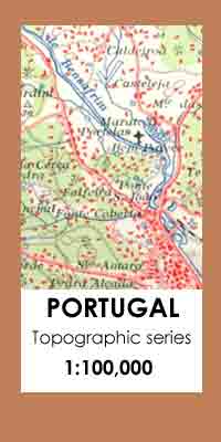
Topographic survey of Portugal at 1:100,000 from the Instituto Geogrรกfico Portuguรชs, the country’s civilian survey organisation. The maps have contours at 50m intervals and in addition to the standard features shown on topographic mapping at this scale also indicate various types of vegetation (vineyards, olive groves, etc). Each sheet covers an area of 64 x
Silves

Topographic survey of Portugal at 1:100,000 from the Instituto Geogrรกfico Portuguรชs, the country’s civilian survey organisation. The maps have contours at 50m intervals and in addition to the standard features shown on topographic mapping at this scale also indicate various types of vegetation (vineyards, olive groves, etc). Each sheet covers an area of 64 x
Vila Real de Santo Antonio

Topographic survey of Portugal at 1:100,000 from the Instituto Geogrรกfico Portuguรชs, the country’s civilian survey organisation. The maps have contours at 50m intervals and in addition to the standard features shown on topographic mapping at this scale also indicate various types of vegetation (vineyards, olive groves, etc). Each sheet covers an area of 64 x
Lisboa

Topographic survey of Portugal at 1:100,000 from the Instituto Geogrรกfico Portuguรชs, the country’s civilian survey organisation. The maps have contours at 50m intervals and in addition to the standard features shown on topographic mapping at this scale also indicate various types of vegetation (vineyards, olive groves, etc). Each sheet covers an area of 64 x
Kakheti – Tusheti Geoland Regional 1
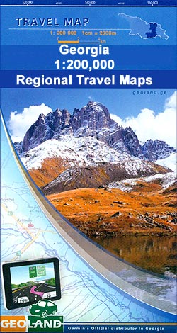
Kakheti (Tusheti) Region of Georgia at 1:200,000 on double-sided road map from Geoland with topographic and tourist information, including archeological sites and historic buildings, different denomination churches, rock dwellings, dinosaur footprints, etc. Relief shading with numerous peak heights shows the topography. Road network distinguished between local paved or unpaved roads and includes cart tracks and
Mtskheta-Mtianeti – Kvemo Kartli Geoland Regional 2

Mtskheta-Mtianeti and Kvemo Kartli Regions of Georgia at 1:200,000 on double-sided road map from Geoland with topographic and tourist information, including archeological sites and historic buildings, different denomination churches, rock dwellings, dinosaur footprints, etc.Relief shading with numerous peak heights shows the topography. Road network distinguished between local paved or unpaved roads and includes cart tracks
Samtskhe-Javakheti – Shida Kartli Geoland Regional 3
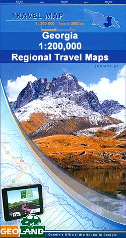
Samtskhe-Javakheti – Shida Kartli Regions of Georgia at 1:200,000 on double-sided road map from Geoland with topographic and tourist information, including archeological sites and historic buildings, different denomination churches, rock dwellings, dinosaur footprints, etc.Relief shading with numerous peak heights shows the topography. Road network distinguished between local paved or unpaved roads and includes cart tracks
Montalegre
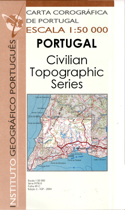
Topographic survey of Portugal at 1:50,000 from the Instituto Geogrรกfico Portuguรชs, the country’s civilian survey organisation. The maps have contours at 25m intervals and in addition to the standard features shown on topographic mapping at this scale also indicate various types of vegetation (vineyards, olive groves, etc). Each sheet covers an area of 32 x
Samegrelo-Svaneti Geoland Regional 4

Samegrelo-Svaneti Region of Georgia at 1:200,000 on double-sided road map from Geoland with topographic and tourist information, including archeological sites and historic buildings, different denomination churches, rock dwellings, dinosaur footprints, etc.Relief shading with numerous peak heights shows the topography. Road network distinguished between local paved or unpaved roads and includes cart tracks and forest roads.
Guria-Imereti Geoland Regional 5

Guria-Imereti Region of Georgia at 1:200,000 on double-sided road map from Geoland with topographic and tourist information, including archeological sites and historic buildings, different denomination churches, rock dwellings, dinosaur footprints, etc.Relief shading with numerous peak heights shows the topography. Road network distinguished between local paved or unpaved roads and includes cart tracks and forest roads.
Adjara-Javakheti Geoland Regional 6

Adjara-Javakheti Region of Georgia at 1:200,000 on double-sided road map from Geoland with topographic and tourist information, including archeological sites and historic buildings, different denomination churches, rock dwellings, dinosaur footprints, etc.Relief shading with numerous peak heights shows the topography. Road network distinguished between local paved or unpaved roads and includes cart tracks and forest roads.
Porto

Topographic survey of Portugal at 1:100,000 from the Instituto Geogrรกfico Portuguรชs, the country’s civilian survey organisation. The maps have contours at 50m intervals and in addition to the standard features shown on topographic mapping at this scale also indicate various types of vegetation (vineyards, olive groves, etc). Each sheet covers an area of 64 x
British Isles Global Mapping Political Wall Map ENCAPSULATED

Political wall map of the British Isles at 1:1,000,000 from Global Mapping, showing different counties in bold colouring. This is an ideal reference map, showing major cities, motorways and A roads. Ferry routes and airports are also indicated. There is also a distance table for numerous destinations, as well as separate insets showing the Channel
Cabo Froward

Cabo Froward at 1:100,000 in a series of contoured, GPS compatible trekking and exploration maps at various scales form Trekkingchile. The map covers the south-eastern tip of the Brunswick Peninsula, from approx 45km south of Punta Arenas to Cape Froward. Contour interval is 50m, with colouring showing woodlands, shrubbery and pastures, swamps, sand, rocks, etc.
World Global Mapping Political Wall Map X-LARGE ENCAPSULATED
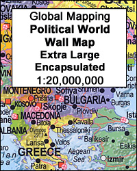
Political map of the world from Global Mapping, extra large size 199 x 135cm (78.5″ x 53″ approx) ‘“ encapsulated version, with bright colouring of the individual countries pleasantly contrasted by the light blue oceans, relief shading for mountain ranges on land and the structure of the ocean floor, a panel of country flags, etc.
Oni – Utsera Resort – Ghebi Resort Geoland 7
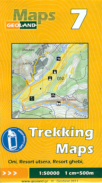
Oni – Utsera Resort – Ghebi Resort area of the Caucasus Mountains in Georgia at 1:50,000 on a double-sided, contoured and GPS compatible map from Geoplan, with an overprint providing tourist information including local accommodation and sights.Maps in this series have contours at 20m intervals, with additional relief shading and numerous spot heights, plus colouring
Copenhagen in 3-D Wall Map
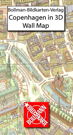
One of a series of beautiful, hand-drawn plans, offering bird`s-eye views of popular cities. Every building is drawn to scale with full architectural details, from street arcades to rooftops and inner courtyards. The plans were drawn in 1950s to 1970s and offer a unique opportunity to see these cities as they were before many of
Isola di San Pietro
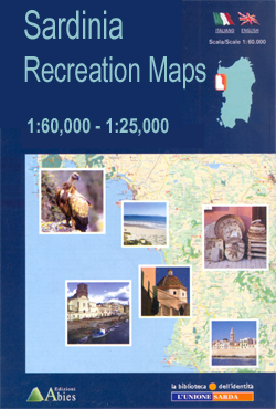
Isola di San Pietro at 1:25,000 in a series of contoured maps from Ed. Abies. Overprint highlights campsites, caravan parks, B&B and hotel accommodation, beaches and diving sites, caves and archaeological remains. This title has a UTM grid.*Main series at 1:60,000 (Nos. 1 to 12)*The maps have contours at 100m intervals and colouring for woodlands
Loiri – Porto San Paolo

Loiri – Porto San Paolo area at 1:25,000 in a series of contoured, GPS compatible maps from Ed. Abies. Overprint highlights campsites, B&B and agriturismo accommodation, golf courses, horse riding facilities and viewpoints. The map has a UTM grid.*Main series at 1:60,000 (Nos. 1 to 12)*The maps have contours at 100m intervals and colouring for


