Category Archives: Maps
Djado IGN Map

One of the titles in a series of topographic maps covering much of north-west Africa, produced as part of the IMW* project in 1960’s. Each map covers an area spanning 6ยฐ in longitude and 4ยฐ in latitude. There is some variation in colouring and the depiction of terrain, but hill-shading, spot heights and contours are
Bloemfontein

Map No. 2926, Bloemfontein, in South Africa’s official topographic survey at 1:250,000 from the country’s national survey organization, the Chief Directorate of Surveys and Mapping. The maps have altitude colouring and contours at 50m or 100m intervals, depending on the map edition, plus spot heights. Deserts, marshes, dry pans, perennial and seasonal water features, etc,
Djanet IGN Map

One of the titles in a series of topographic maps covering much of north-west Africa, produced as part of the IMW* project in 1960’s. Each map covers an area spanning 6ยฐ in longitude and 4ยฐ in latitude. There is some variation in colouring and the depiction of terrain, but hill-shading, spot heights and contours are
Tadjikja IGN Map

One of the titles in a series of topographic maps covering much of north-west Africa, produced as part of the IMW* project in 1960’s. Each map covers an area spanning 6ยฐ in longitude and 4ยฐ in latitude. There is some variation in colouring and the depiction of terrain, but hill-shading, spot heights and contours are
Bamako IGN Map

One of the titles in a series of topographic maps covering much of north-west Africa, produced as part of the IMW* project in 1960’s. Each map covers an area spanning 6ยฐ in longitude and 4ยฐ in latitude. There is some variation in colouring and the depiction of terrain, but hill-shading, spot heights and contours are
N`Djamena (Fort Lamy) IGN Map

One of the titles in a series of topographic maps covering much of north-west Africa, produced as part of the IMW* project in 1960’s. Each map covers an area spanning 6ยฐ in longitude and 4ยฐ in latitude. There is some variation in colouring and the depiction of terrain, but hill-shading, spot heights and contours are
Niamey IGN Map

One of the titles in a series of topographic maps covering much of north-west Africa, produced as part of the IMW* project in 1960’s. Each map covers an area spanning 6ยฐ in longitude and 4ยฐ in latitude. There is some variation in colouring and the depiction of terrain, but hill-shading, spot heights and contours are
Greenland Wall Map
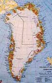
This 120x72cm large wallmap clearly shows the difference between Greenland`s ice-free coastal areas and the icy interior. The interior shows only contours at 500m intervals. The coast, however, is shown by elevations tinting (i.e. different colours for different altitudes) and spot heights. Towns and settlements are clearly marked, as are fjords, sounds, airports and hydro-electric
Bangui IGN Map

One of the titles in a series of topographic maps covering much of north-west Africa, produced as part of the IMW* project in 1960’s. Each map covers an area spanning 6ยฐ in longitude and 4ยฐ in latitude. There is some variation in colouring and the depiction of terrain, but hill-shading, spot heights and contours are
St Andrews Bay – Royal Bay, South Georgia BAS Geomorphology Wall Map
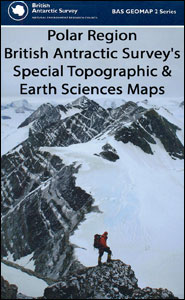
Geomorphology map of the St Andrews Bay – Royal Bay area of South Georgia at 1:50,000 from the British Antarctic Survey. BAS ref. for this title is BAS (Misc) 1. Thei is the flat version of this title which is also available folded.PLEASE NOTE: to see the list of other detailed topographic and specialist maps
Bechar IGN Map

One of the titles in a series of topographic maps covering much of north-west Africa, produced as part of the IMW* project in 1960’s. Each map covers an area spanning 6ยฐ in longitude and 4ยฐ in latitude. There is some variation in colouring and the depiction of terrain, but hill-shading, spot heights and contours are
Israel Touring 2-Map Set
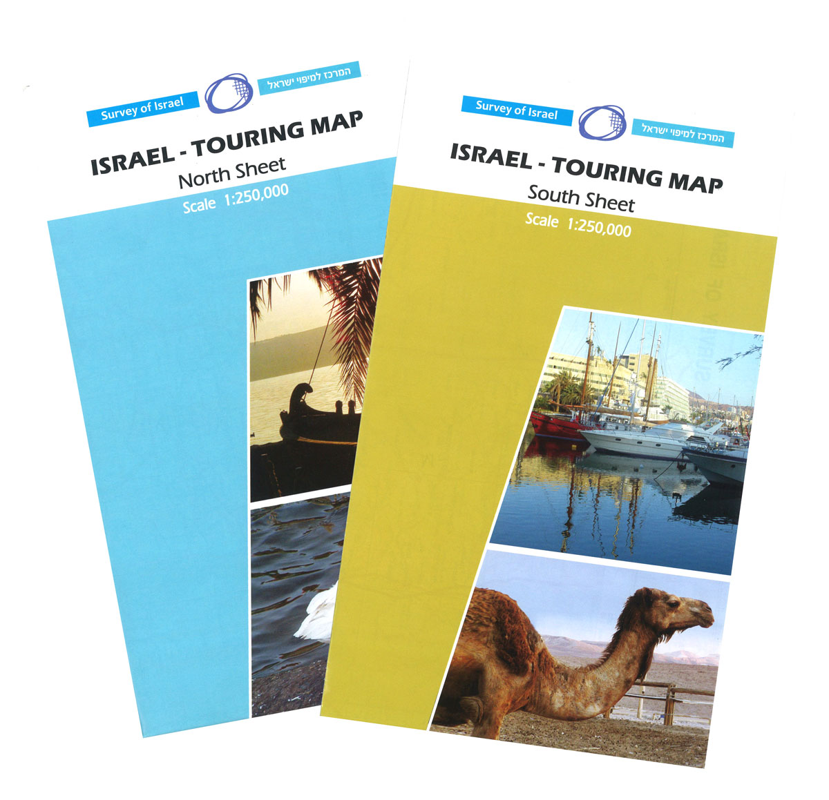
Attractively coloured map from the Israeli national survey organization, presenting the country on two sheets. The communications network, with seven types of roads from toll highways to local tracks plus the railway lines, is presented on a base map with subtle but effective relief shading and plenty of names of geographical features. Colours indicate areas
Brazaville IGN Map

One of the titles in a series of topographic maps covering much of north-west Africa, produced as part of the IMW* project in 1960’s. Each map covers an area spanning 6ยฐ in longitude and 4ยฐ in latitude. There is some variation in colouring and the depiction of terrain, but hill-shading, spot heights and contours are
Israel Physical 2-Map Set
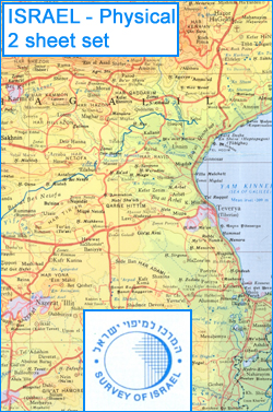
Physical map of the country on two sheets from the Israeli national survey organization. Altitude colouring, graded at 100m intervals to over 300m below the sea level, vividly shows the depression of the Jordan Valley and around the Dead Sea. The map indicates marshes, mudflats, sand dunes, perennial and dry wadis, etc., and gives plenty
Oran IGN Map

One of the titles in a series of topographic maps covering much of north-west Africa, produced as part of the IMW* project in 1960’s. Each map covers an area spanning 6ยฐ in longitude and 4ยฐ in latitude. There is some variation in colouring and the depiction of terrain, but hill-shading, spot heights and contours are
Jerusalem Old City Bird`s Eye View
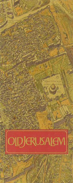
Beautiful wall map showing bird’s-eye view plan of Jerusalem’s Old City and its immediate surrounding area, including Mount Zion, the City of David and Gethsemane. The buildings are drawn to scale with full architectural detail, viewed at a slightly oblique perspective looking northwards. All the important buildings are identified, using their English names, and the
BA5006 The World Time Zone Chart
Amman
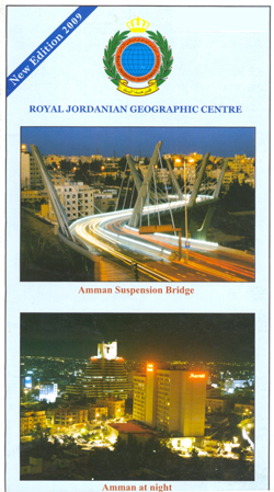
Amman on an English version of a street plan from the Royal Jordanian Geographic Centre, with an index which includes lists of hotels, embassies and diplomatic missions, governmental institutions, etc.The plan shows names of main streets, districts and neighbourhoods and highlights locations of the institutions listed in the index. Also marked are banks, museums and
Abeche IGN Map

One of the titles in a series of topographic maps covering much of north-west Africa, produced as part of the IMW* project in 1960’s. Each map covers an area spanning 6ยฐ in longitude and 4ยฐ in latitude. There is some variation in colouring and the depiction of terrain, but hill-shading, spot heights and contours are
Hassi Messaoud IGN Map

One of the titles in a series of topographic maps covering much of north-west Africa, produced as part of the IMW* project in 1960’s. Each map covers an area spanning 6ยฐ in longitude and 4ยฐ in latitude. There is some variation in colouring and the depiction of terrain, but hill-shading, spot heights and contours are


