Category Archives: Maps
Huntingdonshire
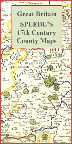
Huntingdonshire in a series of colourful reproductions of attractive county maps by John Speede from about 1610-1611, printed on thick art paper and ideal for framing. Each title, 58 x 45cm / approx. 23″ x 18″, is decorated with additional notes, drawings, coats of arms, street plans, etc.Little drawings are used to show locations of
Siachen, Rimo & Saser Kangri Area

About the series:Maps designed specifically for the trekker, presenting the topography by line drawings of mountain ridges, with main peaks and passes shown with their height above sea level. The maps also show rivers and settlements and clearly indicate trekking routes. On the reverse are descriptions of suggested routes and other information about the area.
Chamba, Dhauladhar Passes, Pangi Valley & Western Lahul
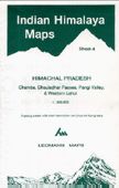
About the series:Maps designed specifically for the trekker, presenting the topography by line drawings of mountain ridges, with main peaks and passes shown with their height above sea level. The maps also show rivers and settlements and clearly indicate trekking routes. On the reverse are descriptions of suggested routes and other information about the area.
Karakoram SFAR 2-Map Set
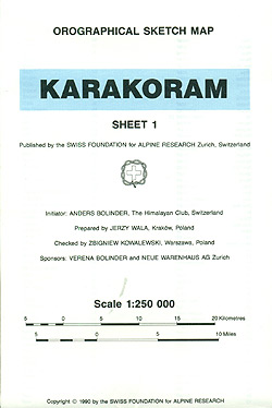
Karakoram on a set of two ridge-type maps at 1:250,000 from the Swiss Foundation for Alpine Research providing an overview of the mountains from Gilgit and the Khunjerab Pass eastwards to the southern point of the Shyok River.The maps show mountain ridges, peaks and valleys in a schematic but fairly clear way. Trekking routes are
Tamanrasset IGN Map

One of the titles in a series of topographic maps covering much of north-west Africa, produced as part of the IMW* project in 1960’s. Each map covers an area spanning 6ยฐ in longitude and 4ยฐ in latitude. There is some variation in colouring and the depiction of terrain, but hill-shading, spot heights and contours are
Douala IGN Map

One of the titles in a series of topographic maps covering much of north-west Africa, produced as part of the IMW* project in 1960’s. Each map covers an area spanning 6ยฐ in longitude and 4ยฐ in latitude. There is some variation in colouring and the depiction of terrain, but hill-shading, spot heights and contours are
Erg Chech IGN Map

One of the titles in a series of topographic maps covering much of north-west Africa, produced as part of the IMW* project in 1960’s. Each map covers an area spanning 6ยฐ in longitude and 4ยฐ in latitude. There is some variation in colouring and the depiction of terrain, but hill-shading, spot heights and contours are
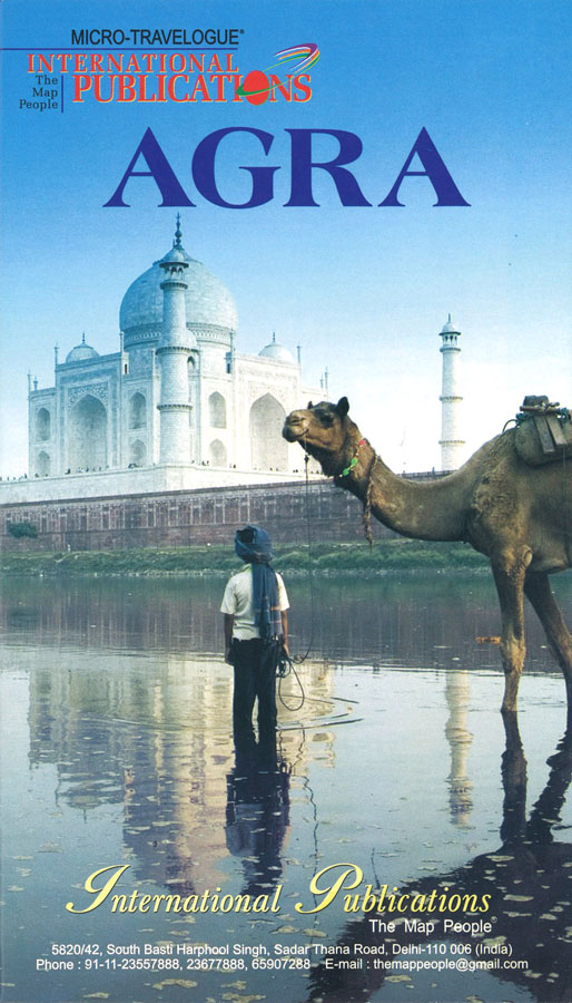
Agra Micro-Travelogue
Tunis IGN Map

One of the titles in a series of topographic maps covering much of north-west Africa, produced as part of the IMW* project in 1960’s. Each map covers an area spanning 6ยฐ in longitude and 4ยฐ in latitude. There is some variation in colouring and the depiction of terrain, but hill-shading, spot heights and contours are
Zinder IGN Map

One of the titles in a series of topographic maps covering much of north-west Africa, produced as part of the IMW* project in 1960’s. Each map covers an area spanning 6ยฐ in longitude and 4ยฐ in latitude. There is some variation in colouring and the depiction of terrain, but hill-shading, spot heights and contours are
Sikkim Himalaya
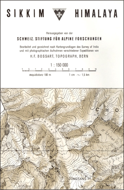
Sikkim Himalaya on a detailed 1:150,000 map from the Swiss Foundation for Alpine Research, with its monochrome presentation providing, on close inspection, far more detail than on other, more colorful maps.The cartography is in black and white with brown relief shading, contours at 100m intervals, spot heights for peaks and passes, names of peaks and
Ouadane IGN Map

One of the titles in a series of topographic maps covering much of north-west Africa, produced as part of the IMW* project in 1960’s. Each map covers an area spanning 6ยฐ in longitude and 4ยฐ in latitude. There is some variation in colouring and the depiction of terrain, but hill-shading, spot heights and contours are
Srinagar, Kolohoi Glacier & Kishtwar Area
About the series:Maps designed specifically for the trekker, presenting the topography by line drawings of mountain ridges, with main peaks and passes shown with their height above sea level. The maps also show rivers and settlements and clearly indicate trekking routes. On the reverse are descriptions of suggested routes and other information about the area.
Ouargla IGN Map

One of the titles in a series of topographic maps covering much of north-west Africa, produced as part of the IMW* project in 1960’s. Each map covers an area spanning 6ยฐ in longitude and 4ยฐ in latitude. There is some variation in colouring and the depiction of terrain, but hill-shading, spot heights and contours are
Skardu, Hispar, Biafo Area
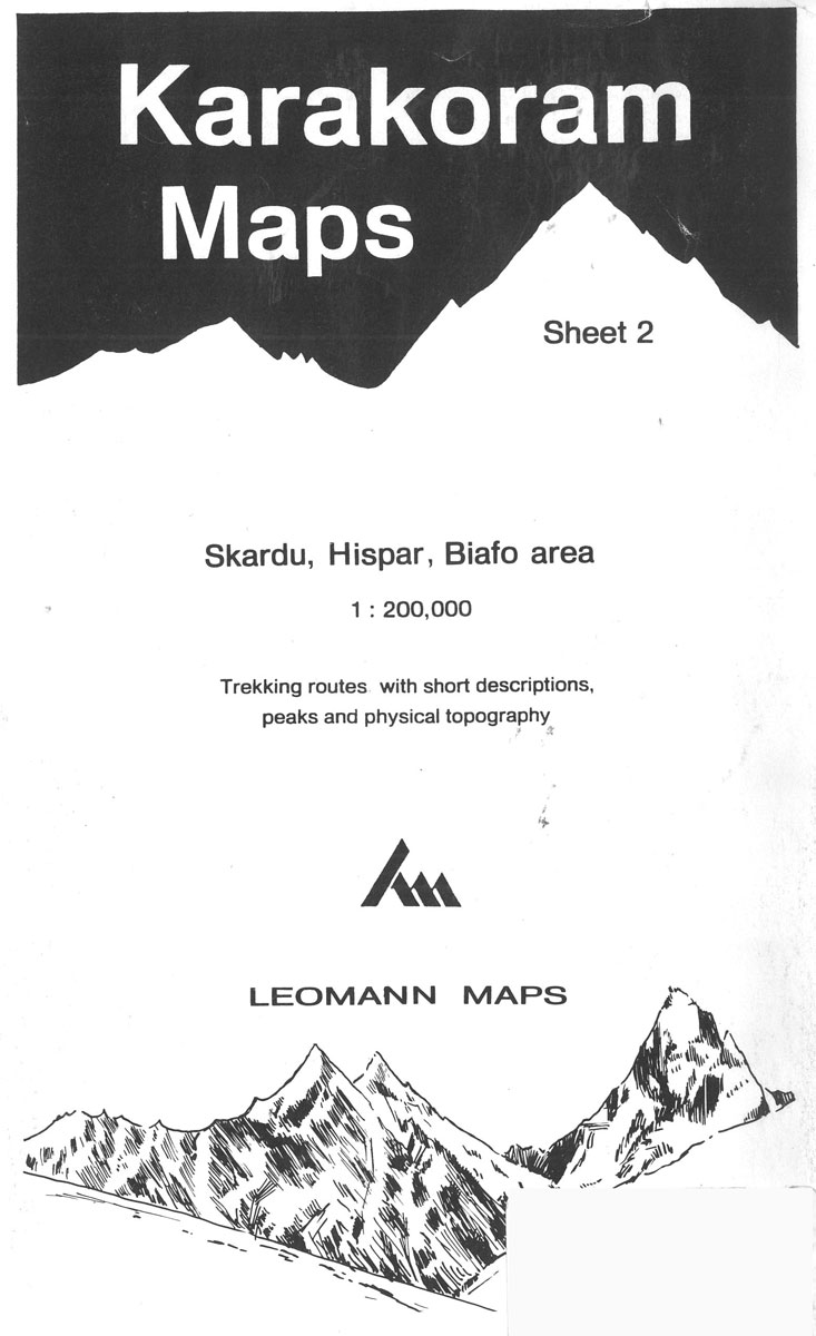
About the series:Maps designed specifically for the trekker, presenting the topography by line drawings of mountain ridges, with main peaks and passes shown with their height above sea level. The maps also show rivers and settlements and clearly indicate trekking routes. On the reverse are descriptions of suggested routes and other information about the area.
Conakry IGN Map

One of the titles in a series of topographic maps covering much of north-west Africa, produced as part of the IMW* project in 1960’s. Each map covers an area spanning 6ยฐ in longitude and 4ยฐ in latitude. There is some variation in colouring and the depiction of terrain, but hill-shading, spot heights and contours are
Bangassou IGN Map

One of the titles in a series of topographic maps covering much of north-west Africa, produced as part of the IMW* project in 1960’s. Each map covers an area spanning 6ยฐ in longitude and 4ยฐ in latitude. There is some variation in colouring and the depiction of terrain, but hill-shading, spot heights and contours are
Rabat IGN Map

One of the titles in a series of topographic maps covering much of north-west Africa, produced as part of the IMW* project in 1960’s. Each map covers an area spanning 6ยฐ in longitude and 4ยฐ in latitude. There is some variation in colouring and the depiction of terrain, but hill-shading, spot heights and contours are
Taoudenni IGN Map

One of the titles in a series of topographic maps covering much of north-west Africa, produced as part of the IMW* project in 1960’s. Each map covers an area spanning 6ยฐ in longitude and 4ยฐ in latitude. There is some variation in colouring and the depiction of terrain, but hill-shading, spot heights and contours are
Djado IGN Map

One of the titles in a series of topographic maps covering much of north-west Africa, produced as part of the IMW* project in 1960’s. Each map covers an area spanning 6ยฐ in longitude and 4ยฐ in latitude. There is some variation in colouring and the depiction of terrain, but hill-shading, spot heights and contours are


