Category Archives: Maps
Grand Panorama of London from the Thames
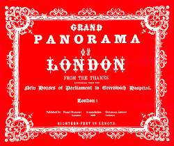
The Grand Panorama of London from the Thames presents an eighteen foot long continuous view of the river eastwards from the Houses of Parliament to the Isle of Dogs and westwards back to Deptford. Originally published in 1849, this beautifully reproduced panoramic print takes you on scenic journey up the river Thames as it looked
Worcestershire
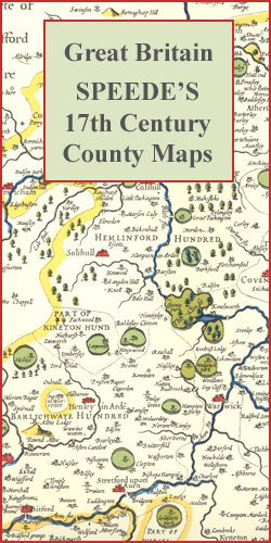
Worcestershire in a series of colourful reproductions of attractive county maps by John Speede from about 1610-1611, printed on thick art paper and ideal for framing. Each title, 58 x 45cm / approx. 23″ x 18″, is decorated with additional notes, drawings, coats of arms, street plans, etc.Little drawings are used to show locations of
Mount McKinley
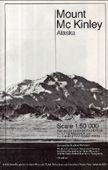
Folded map with excellent topographical relief shown with a vertical contour interval at 100ft. Spot heights are given for major peaks. Natural features & vegetation shown. No roads or habitation on area of map. Because of the amount of snow/ice the general colours of the map are shades of a pleasing light-blue. Nice to look
Balloon View of London
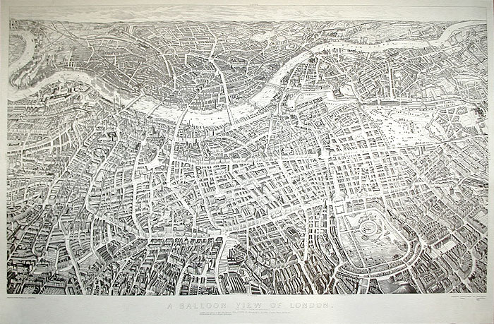
One of several maps and panoramas of London to come out in 1851, the year of the Great Exhibition. This is an aerial panorama, naming streets and showing many individual buildings. The view is looking southwards and therefore appears “upside-down” compared to most maps. The enormous glass building built in Hyde Park for the Great
Garhwal Himalaya West
The Swiss Foundation For Alpine Research`s map of Garhwal Himalaya West is beautiful black and white map with brown relief shading which gives excellent topographical coverage of the area north-east of Dehra Dun and Massuri to the Tibetan border. The contour interval is 100m. Shows settlements and tracks, and also abundant physical information, although this
Bhutan Himalaya

A very general physical map of Bhutan with bold hill shading in shades of grey indicating the relief. The map shows glaciers, peak elevations, passes, rivers, lakes plus main settlements with connecting roads and tracks. Latitude and longitude margin ticks are at 1ยฐ intervals. Map legend is in English.
New York Bird`s Eye View Wall Map
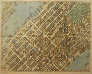
Wall map version of a nostalgic view of central Manhattan from Bollman Verlag, on a beautiful panorama map presenting this part of New York in 3-D as it was in the 1980s, with all the buildings drawn with full architectural detail, from the tops of the Empire State or Chrysler sky scrapers to less famous
Jerusalem in 3-D Wall Map
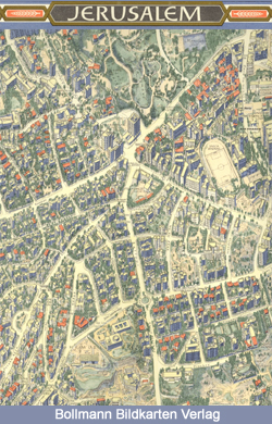
Unusual and beautiful wall map showing bird’s-eye view plan of Jerusalem, extending westwards from the Mount of Olives, across the Old City and the central area, to the government districts around the Knesset, Israel Museum and the Shrine of the Book, and the Hebrew University. The buildings are drawn to scale with full architectural detail,
Colombia/Venezuela/Panama: North 8ยฐ-16ยฐ / West 70ยฐ-82ยฐ
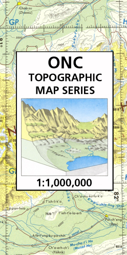
Map No. K-26 in the ONC series: military topographic survey mapping covering the world`s land masses and significant islands at 1:1,000,000. The maps are useful as general topographical coverage where nothing else is available, although they are designed primarily as flying charts for military aircraft. ONC stands for Operational Navigation Chart.Relief is portrayed by a
Rocque Key Map of London 1762
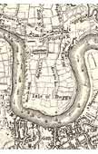
Interesting and detailed black and white map of the London area in 1762, made as part of a project to compare the sizes of London and Paris. (London was larger by 1427 acres.)Extends out to Greenford, Highgate, Walthamstow, Wanstead, Woolwich, Mottingham, Tooting and Twickenham, which were then small villages.
Thomas Milne`s Land Use Map of London & Environs in 1800
A reproduction of Thomas Milne`s 1800 land use map of London and environs. Shows London and the surrounding area: North to Finchley Common, east to Greenwich, South to Streatham, west to Richmond. Milne`s map was one of the first to make use of a precisely-surveyed triangulation system and one of the first land use maps
Bedfordshire

Bedfordshire in a series of colourful reproductions of attractive county maps by John Speede from about 1610-1611, printed on thick art paper and ideal for framing. Each title, 58 x 45cm / approx. 23″ x 18″, is decorated with additional notes, drawings, coats of arms, street plans, etc.Little drawings are used to show locations of
Kargil, Zanskar & Nun-Kun Area
About the series:Maps designed specifically for the trekker, presenting the topography by line drawings of mountain ridges, with main peaks and passes shown with their height above sea level. The maps also show rivers and settlements and clearly indicate trekking routes. On the reverse are descriptions of suggested routes and other information about the area.
Cambridgeshire

Cambridgeshire in a series of colourful reproductions of attractive county maps by John Speede from about 1610-1611, printed on thick art paper and ideal for framing. Each title, 58 x 45cm / approx. 23″ x 18″, is decorated with additional notes, drawings, coats of arms, street plans, etc.Little drawings are used to show locations of
Dudh Kosi
Dudh Kosi region at 1:50,000 in a series of detailed topographic maps of selected trekking areas of Nepal originally prepared by E. Schneider and now edited by the German Scientific Association of Comparative High-Mountain Research (Arbeitsgemeinschaft fรผr vergleichende Hochgebirgsforschung). The map covers the lower Dudh Kosi River, the downstream end of the Hinku River, and
Cheshire

Cheshire in a series of colourful reproductions of attractive county maps by John Speede from about 1610-1611, printed on thick art paper and ideal for framing. Each title, 58 x 45cm / approx. 23″ x 18″, is decorated with additional notes, drawings, coats of arms, street plans, etc.Little drawings are used to show locations of
K2, Baltoro, Gasherbrum, Masherbrum & Saltoro Groups
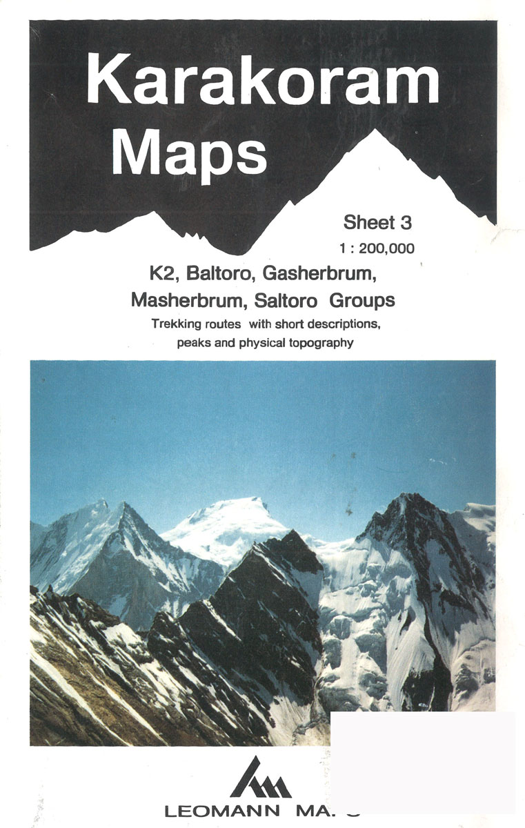
About the series:Maps designed specifically for the trekker, presenting the topography by line drawings of mountain ridges, with main peaks and passes shown with their height above sea level. The maps also show rivers and settlements and clearly indicate trekking routes. On the reverse are descriptions of suggested routes and other information about the area.
Herefordshire

Herefordshire in a series of colourful reproductions of attractive county maps by John Speede from about 1610-1611, printed on thick art paper and ideal for framing. Each title, 58 x 45cm / approx. 23″ x 18″, is decorated with additional notes, drawings, coats of arms, street plans, etc.Little drawings are used to show locations of
Koh-e Pamir Alpenverein 0/6
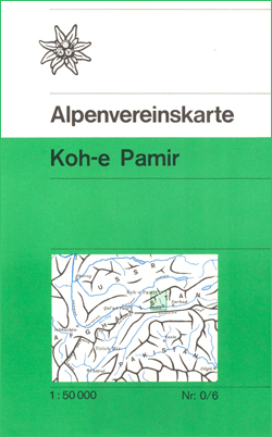
Detailed topographic map of the Koh-e Pamir massif and the Wakhan Valley in the Hindu Kush panhandle of Afghanistan, compiled in 1975 by Exploration Pamir 75 of the Austrian Scientific Research Program.Topography is shown by contours at 40m intervals, relief shading and spot heights, with rivers and streams, lakes and irrigation canals. Colouring and graphics
Huntingdonshire

Huntingdonshire in a series of colourful reproductions of attractive county maps by John Speede from about 1610-1611, printed on thick art paper and ideal for framing. Each title, 58 x 45cm / approx. 23″ x 18″, is decorated with additional notes, drawings, coats of arms, street plans, etc.Little drawings are used to show locations of


