Category Archives: Maps
Greenland Yellow Set 9-12
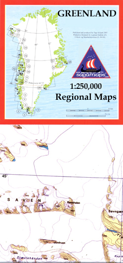
Topographic survey of Greenland at 1:250,000 from Sagamaps in a series which along the western coast extends past Thule to the latitude of 78ยฐ, plus covers selected areas of the east coast including the Stauning Alps. Relief is shown by contours at 50m intervals, augmented by frequent spot heights. Main peaks are named, along with
Greenland Green Set 13-16

Topographic survey of Greenland at 1:250,000 from Sagamaps in a series which along the western coast extends past Thule to the latitude of 78ยฐ, plus covers selected areas of the east coast including the Stauning Alps. Relief is shown by contours at 50m intervals, augmented by frequent spot heights. Main peaks are named, along with
Upernavik Avannarleq – Upernavik Nord

Topographic survey of Greenland at 1:250,000 from Sagamaps in a series which along the western coast extends past Thule to the latitude of 78ยฐ, plus covers selected areas of the east coast including the Stauning Alps. Relief is shown by contours at 50m intervals, augmented by frequent spot heights. Main peaks are named, along with
Greenland Blue Set 17-20

Topographic survey of Greenland at 1:250,000 from Sagamaps in a series which along the western coast extends past Thule to the latitude of 78ยฐ, plus covers selected areas of the east coast including the Stauning Alps. Relief is shown by contours at 50m intervals, augmented by frequent spot heights. Main peaks are named, along with
Qimusseriarsuaq – Melville Bugt

Topographic survey of Greenland at 1:250,000 from Sagamaps in a series which along the western coast extends past Thule to the latitude of 78ยฐ, plus covers selected areas of the east coast including the Stauning Alps. Relief is shown by contours at 50m intervals, augmented by frequent spot heights. Main peaks are named, along with
Penafiel
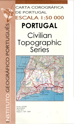
Topographic survey of Portugal at 1:50,000 from the Instituto Geogrรกfico Portuguรชs, the country’s civilian survey organisation. The maps have contours at 25m intervals and in addition to the standard features shown on topographic mapping at this scale also indicate various types of vegetation (vineyards, olive groves, etc). Each sheet covers an area of 32 x
Povoa de Varzim

Topographic survey of Portugal at 1:50,000 from the Instituto Geogrรกfico Portuguรชs, the country’s civilian survey organisation. The maps have contours at 25m intervals and in addition to the standard features shown on topographic mapping at this scale also indicate various types of vegetation (vineyards, olive groves, etc). Each sheet covers an area of 32 x
Beja

Topographic survey of Portugal at 1:50,000 from the Instituto Geogrรกfico Portuguรชs, the country’s civilian survey organisation. The maps have contours at 25m intervals and in addition to the standard features shown on topographic mapping at this scale also indicate various types of vegetation (vineyards, olive groves, etc). Each sheet covers an area of 32 x
Ferreira do Zezere

Topographic survey of Portugal at 1:50,000 from the Instituto Geogrรกfico Portuguรชs, the country’s civilian survey organisation. The maps have contours at 25m intervals and in addition to the standard features shown on topographic mapping at this scale also indicate various types of vegetation (vineyards, olive groves, etc). Each sheet covers an area of 32 x
Nordenskiรถld Land
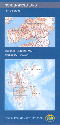
Detailed topographic map of Nordenskiรถld Land, the central part of Spitsbergen, which includes the main town Longyearbyen. The map has contours at 50-metre intervals and shows settlements and isolated houses or huts, roads, snow-scooter tracks, airfields and landing grounds, lighthouses, working and disused mines, etc. Danger spots are clearly marked.The map has a UTM grid,
Lucerne in 3-D Wall Map
One of a series of beautiful, hand-drawn plans, offering bird`s-eye views of popular cities. Every building is drawn to scale with full architectural details, from street arcades to rooftops and inner courtyards. The plans were drawn in 1950s to 1970s and offer a unique opportunity to see these cities as they were before many of
Jerusalem: Old City in 3-D Wall Map
Beautiful wall map showing bird’s-eye view plan of Jerusalem’s Old City and its immediate surrounding area, including Mount Zion, the City of David and Gethsemane. The buildings are drawn to scale with full architectural detail, viewed at a slightly oblique perspective looking northwards. All the important buildings are identified, using their English names, and the
Vinhais
Topographic survey of Portugal at 1:100,000 from the Instituto Geogrรกfico Portuguรชs, the country’s civilian survey organisation. The maps have contours at 50m intervals and in addition to the standard features shown on topographic mapping at this scale also indicate various types of vegetation (vineyards, olive groves, etc). Each sheet covers an area of 64 x
Guimaraes

Topographic survey of Portugal at 1:50,000 from the Instituto Geogrรกfico Portuguรชs, the country’s civilian survey organisation. The maps have contours at 25m intervals and in addition to the standard features shown on topographic mapping at this scale also indicate various types of vegetation (vineyards, olive groves, etc). Each sheet covers an area of 32 x
Greenland Red Set 1-4
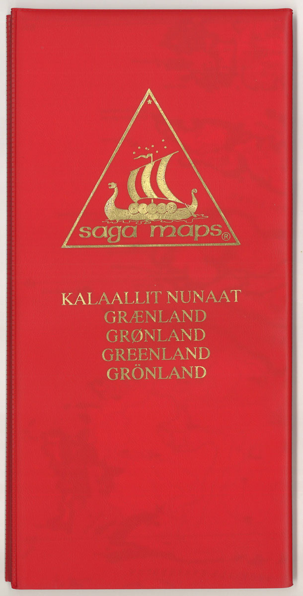
Topographic survey of Greenland at 1:250,000 from Sagamaps in a series which along the western coast extends past Thule to the latitude of 78ยฐ, plus covers selected areas of the east coast including the Stauning Alps. Relief is shown by contours at 50m intervals, augmented by frequent spot heights. Main peaks are named, along with
Oliveira de Azemeis

Topographic survey of Portugal at 1:50,000 from the Instituto Geogrรกfico Portuguรชs, the country’s civilian survey organisation. The maps have contours at 25m intervals and in addition to the standard features shown on topographic mapping at this scale also indicate various types of vegetation (vineyards, olive groves, etc). Each sheet covers an area of 32 x
Chaves

Topographic survey of Portugal at 1:50,000 from the Instituto Geogrรกfico Portuguรชs, the country’s civilian survey organisation. The maps have contours at 25m intervals and in addition to the standard features shown on topographic mapping at this scale also indicate various types of vegetation (vineyards, olive groves, etc). Each sheet covers an area of 32 x
Figueira de Castelo Rodrigo

Topographic survey of Portugal at 1:50,000 from the Instituto Geogrรกfico Portuguรชs, the country’s civilian survey organisation. The maps have contours at 25m intervals and in addition to the standard features shown on topographic mapping at this scale also indicate various types of vegetation (vineyards, olive groves, etc). Each sheet covers an area of 32 x
Rebordelo

Topographic survey of Portugal at 1:50,000 from the Instituto Geogrรกfico Portuguรชs, the country’s civilian survey organisation. The maps have contours at 25m intervals and in addition to the standard features shown on topographic mapping at this scale also indicate various types of vegetation (vineyards, olive groves, etc). Each sheet covers an area of 32 x
Drakensberg

Map No. 2928, Drakensberg, in South Africa’s official topographic survey at 1:250,000 from the country’s national survey organization, the Chief Directorate of Surveys and Mapping. The maps have altitude colouring and contours at 50m or 100m intervals, depending on the map edition, plus spot heights. Deserts, marshes, dry pans, perennial and seasonal water features, etc,


