Category Archives: Maps
Covilha
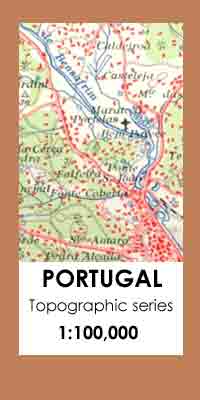
Topographic survey of Portugal at 1:100,000 from the Instituto Geogrรกfico Portuguรชs, the country’s civilian survey organisation. The maps have contours at 50m intervals and in addition to the standard features shown on topographic mapping at this scale also indicate various types of vegetation (vineyards, olive groves, etc). Each sheet covers an area of 64 x
Tasiilaq – Angmassalik
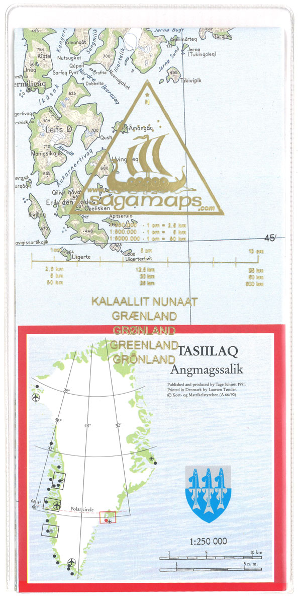
Topographic survey of Greenland at 1:250,000 from Sagamaps in a series which along the western coast extends past Thule to the latitude of 78ยฐ, plus covers selected areas of the east coast including the Stauning Alps. Relief is shown by contours at 50m intervals, augmented by frequent spot heights. Main peaks are named, along with
Ittoqqortoormiit – Scoresbysund
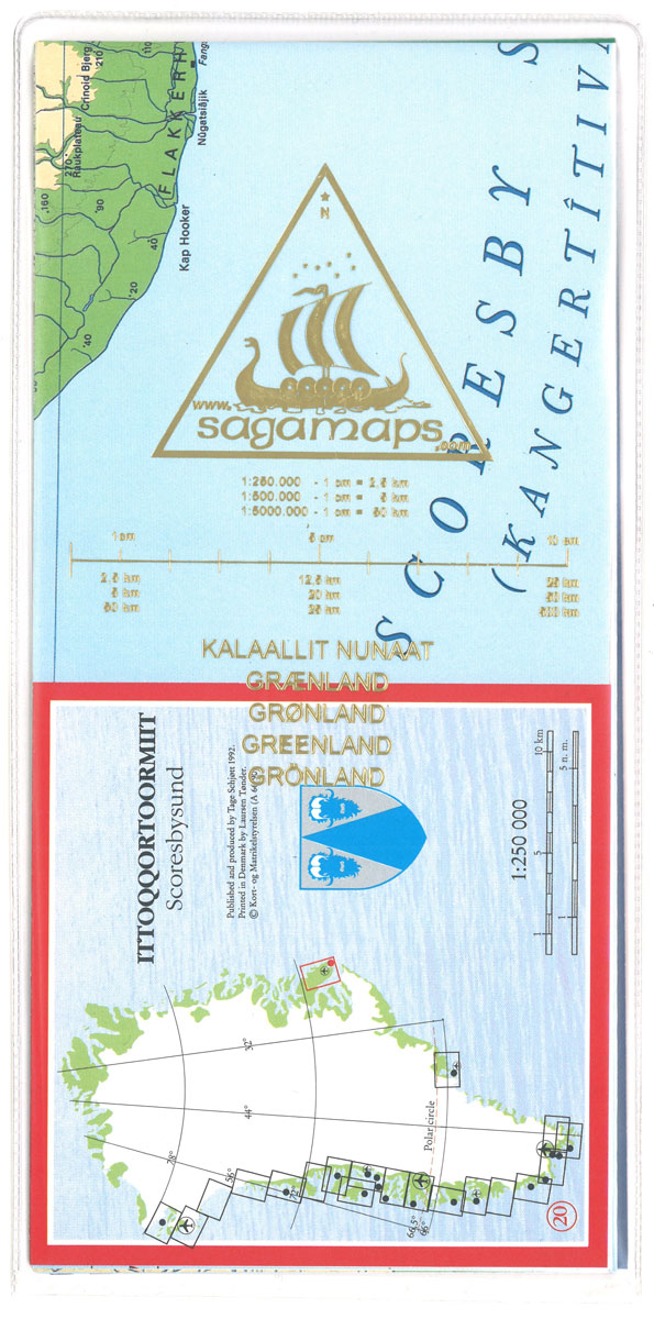
Topographic survey of Greenland at 1:250,000 from Sagamaps in a series which along the western coast extends past Thule to the latitude of 78ยฐ, plus covers selected areas of the east coast including the Stauning Alps. Relief is shown by contours at 50m intervals, augmented by frequent spot heights. Main peaks are named, along with
Nuuk – Godthรฅb Historical Map
Topographic survey of Greenland at 1:250,000 from Sagamaps in a series which along the western coast extends past Thule to the latitude of 78ยฐ, plus covers selected areas of the east coast including the Stauning Alps. Relief is shown by contours at 50m intervals, augmented by frequent spot heights. Main peaks are named, along with
Sisimiut – Holsteinsborg Historical Map

Topographic survey of Greenland at 1:250,000 from Sagamaps in a series which along the western coast extends past Thule to the latitude of 78ยฐ, plus covers selected areas of the east coast including the Stauning Alps. Relief is shown by contours at 50m intervals, augmented by frequent spot heights. Main peaks are named, along with
Qeqertassuup Tunua Historical Map

Topographic survey of Greenland at 1:250,000 from Sagamaps in a series which along the western coast extends past Thule to the latitude of 78ยฐ, plus covers selected areas of the east coast including the Stauning Alps. Relief is shown by contours at 50m intervals, augmented by frequent spot heights. Main peaks are named, along with
Sisimiut – Holsteinsborg
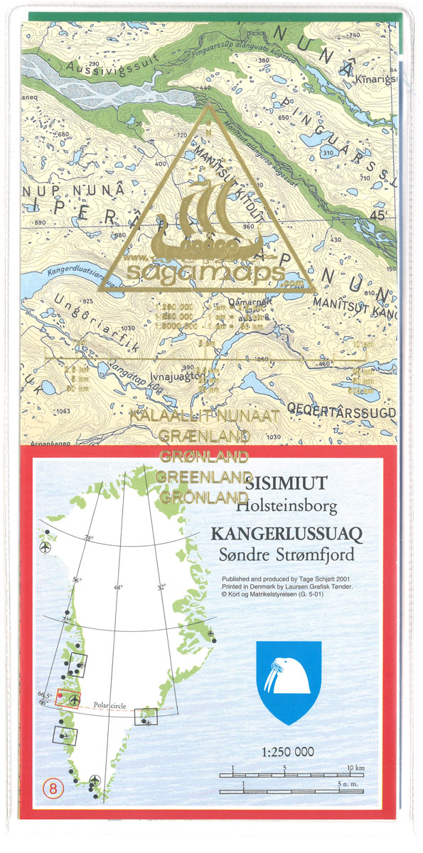
Topographic survey of Greenland at 1:250,000 from Sagamaps in a series which along the western coast extends past Thule to the latitude of 78ยฐ, plus covers selected areas of the east coast including the Stauning Alps. Relief is shown by contours at 50m intervals, augmented by frequent spot heights. Main peaks are named, along with
Kangaatsiaq – Kangatsiaq

Topographic survey of Greenland at 1:250,000 from Sagamaps in a series which along the western coast extends past Thule to the latitude of 78ยฐ, plus covers selected areas of the east coast including the Stauning Alps. Relief is shown by contours at 50m intervals, augmented by frequent spot heights. Main peaks are named, along with
Qeqertarsuup Tunua – Disko Bugten
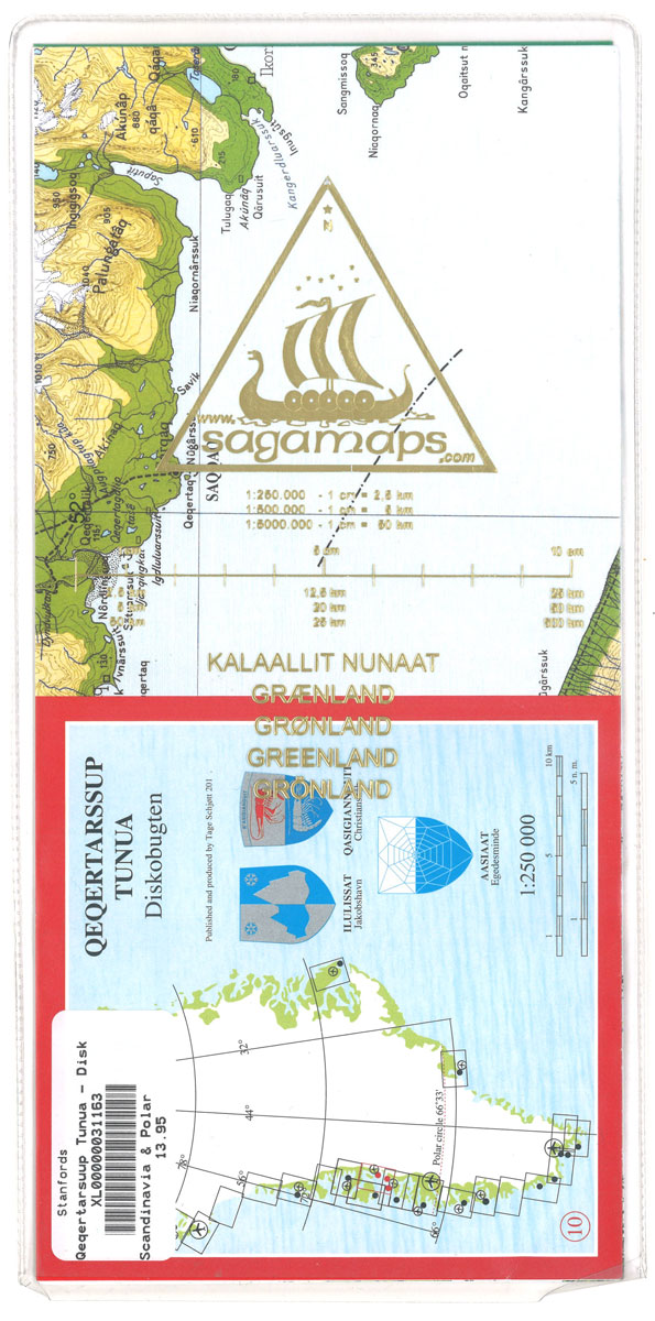
Topographic survey of Greenland at 1:250,000 from Sagamaps in a series which along the western coast extends past Thule to the latitude of 78ยฐ, plus covers selected areas of the east coast including the Stauning Alps. Relief is shown by contours at 50m intervals, augmented by frequent spot heights. Main peaks are named, along with
Qeqertarsuak – Disko ร

Topographic survey of Greenland at 1:250,000 from Sagamaps in a series which along the western coast extends past Thule to the latitude of 78ยฐ, plus covers selected areas of the east coast including the Stauning Alps. Relief is shown by contours at 50m intervals, augmented by frequent spot heights. Main peaks are named, along with
Nuussuaq – Nugssuaq

Topographic survey of Greenland at 1:250,000 from Sagamaps in a series which along the western coast extends past Thule to the latitude of 78ยฐ, plus covers selected areas of the east coast including the Stauning Alps. Relief is shown by contours at 50m intervals, augmented by frequent spot heights. Main peaks are named, along with
Greenland Orange Set 5-8
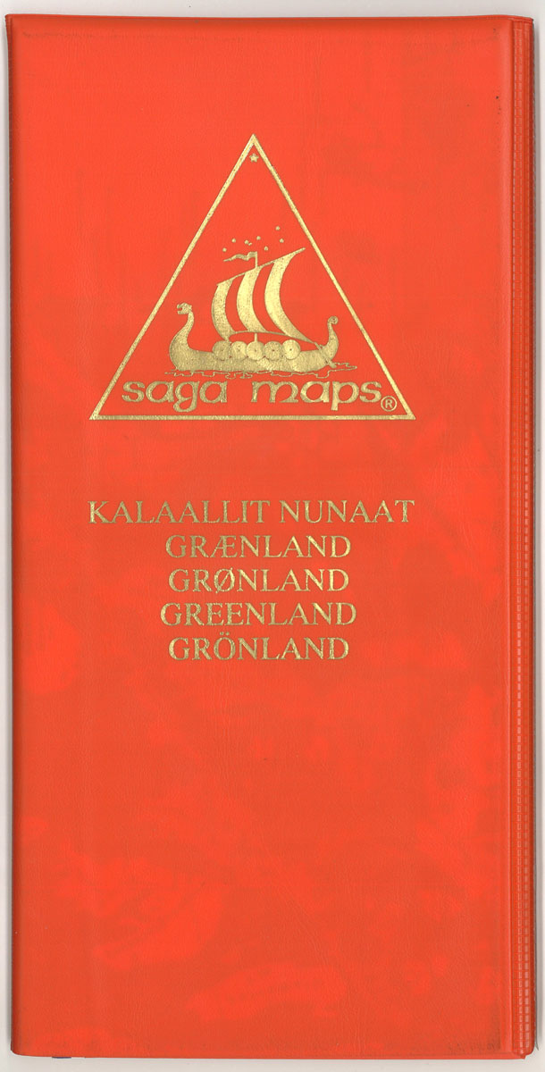
Topographic survey of Greenland at 1:250,000 from Sagamaps in a series which along the western coast extends past Thule to the latitude of 78ยฐ, plus covers selected areas of the east coast including the Stauning Alps. Relief is shown by contours at 50m intervals, augmented by frequent spot heights. Main peaks are named, along with
Nunavik – Svartenhuk
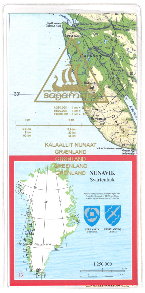
Topographic survey of Greenland at 1:250,000 from Sagamaps in a series which along the western coast extends past Thule to the latitude of 78ยฐ, plus covers selected areas of the east coast including the Stauning Alps. Relief is shown by contours at 50m intervals, augmented by frequent spot heights. Main peaks are named, along with
Greenland Yellow Set 9-12

Topographic survey of Greenland at 1:250,000 from Sagamaps in a series which along the western coast extends past Thule to the latitude of 78ยฐ, plus covers selected areas of the east coast including the Stauning Alps. Relief is shown by contours at 50m intervals, augmented by frequent spot heights. Main peaks are named, along with
Greenland Green Set 13-16

Topographic survey of Greenland at 1:250,000 from Sagamaps in a series which along the western coast extends past Thule to the latitude of 78ยฐ, plus covers selected areas of the east coast including the Stauning Alps. Relief is shown by contours at 50m intervals, augmented by frequent spot heights. Main peaks are named, along with
Upernavik Avannarleq – Upernavik Nord

Topographic survey of Greenland at 1:250,000 from Sagamaps in a series which along the western coast extends past Thule to the latitude of 78ยฐ, plus covers selected areas of the east coast including the Stauning Alps. Relief is shown by contours at 50m intervals, augmented by frequent spot heights. Main peaks are named, along with
Greenland Blue Set 17-20

Topographic survey of Greenland at 1:250,000 from Sagamaps in a series which along the western coast extends past Thule to the latitude of 78ยฐ, plus covers selected areas of the east coast including the Stauning Alps. Relief is shown by contours at 50m intervals, augmented by frequent spot heights. Main peaks are named, along with
Qimusseriarsuaq – Melville Bugt

Topographic survey of Greenland at 1:250,000 from Sagamaps in a series which along the western coast extends past Thule to the latitude of 78ยฐ, plus covers selected areas of the east coast including the Stauning Alps. Relief is shown by contours at 50m intervals, augmented by frequent spot heights. Main peaks are named, along with
Qaqortoq – Julianehab
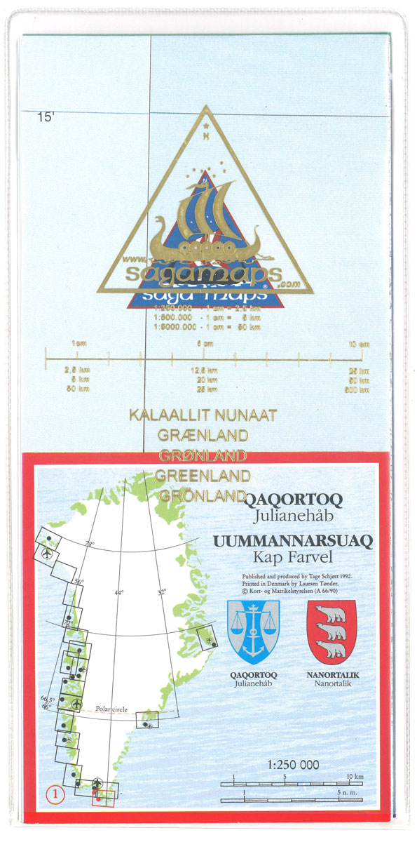
Topographic survey of Greenland at 1:250,000 from Sagamaps in a series which along the western coast extends past Thule to the latitude of 78ยฐ, plus covers selected areas of the east coast including the Stauning Alps. Relief is shown by contours at 50m intervals, augmented by frequent spot heights. Main peaks are named, along with
Ivituut – Ivigtut

Topographic survey of Greenland at 1:250,000 from Sagamaps in a series which along the western coast extends past Thule to the latitude of 78ยฐ, plus covers selected areas of the east coast including the Stauning Alps. Relief is shown by contours at 50m intervals, augmented by frequent spot heights. Main peaks are named, along with


