Category Archives: Maps
Morokweng

Map No. 2622, Morokweng, in South Africa’s official topographic survey at 1:250,000 from the country’s national survey organization, the Chief Directorate of Surveys and Mapping. The maps have altitude colouring and contours at 50m or 100m intervals, depending on the map edition, plus spot heights. Deserts, marshes, dry pans, perennial and seasonal water features, etc,
Wes Rand

Map No. 2626, Wes Rand, in South Africa’s official topographic survey at 1:250,000 from the country’s national survey organization, the Chief Directorate of Surveys and Mapping. The maps have altitude colouring and contours at 50m or 100m intervals, depending on the map edition, plus spot heights. Deserts, marshes, dry pans, perennial and seasonal water features,
East Rand

Map No. 2628, East Rand, in South Africa’s official topographic survey at 1:250,000 from the country’s national survey organization, the Chief Directorate of Surveys and Mapping. The maps have altitude colouring and contours at 50m or 100m intervals, depending on the map edition, plus spot heights. Deserts, marshes, dry pans, perennial and seasonal water features,
Mkuze

Map No. 2632, Mkuze, in South Africa’s official topographic survey at 1:250,000 from the country’s national survey organization, the Chief Directorate of Surveys and Mapping. The maps have altitude colouring and contours at 50m or 100m intervals, depending on the map edition, plus spot heights. Deserts, marshes, dry pans, perennial and seasonal water features, etc,
Noenieput

Map No. 2720, Noenieput, in South Africa’s official topographic survey at 1:250,000 from the country’s national survey organization, the Chief Directorate of Surveys and Mapping. The maps have altitude colouring and contours at 50m or 100m intervals, depending on the map edition, plus spot heights. Deserts, marshes, dry pans, perennial and seasonal water features, etc,
Kuruman

Map No. 2722, Kuruman, in South Africa’s official topographic survey at 1:250,000 from the country’s national survey organization, the Chief Directorate of Surveys and Mapping. The maps have altitude colouring and contours at 50m or 100m intervals, depending on the map edition, plus spot heights. Deserts, marshes, dry pans, perennial and seasonal water features, etc,
Messina

Map No. 2230, Messina, in South Africa’s official topographic survey at 1:250,000 from the country’s national survey organization, the Chief Directorate of Surveys and Mapping. The maps have altitude colouring and contours at 50m or 100m intervals, depending on the map edition, plus spot heights. Deserts, marshes, dry pans, perennial and seasonal water features, etc,
Jordan
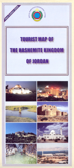
Jordan at 1:750,000 on a road map from the Royal Jordanian Geographic Centre, with a large street plan of central Amman, notes about the country, and numerous colour photos of its various sights and places of interest.The road map shows the country’s network of roads and desert tracks, indicating driving distances on main routes and
Alldays

Map No. 2228, Alldays, in South Africa’s official topographic survey at 1:250,000 from the country’s national survey organization, the Chief Directorate of Surveys and Mapping. The maps have altitude colouring and contours at 50m or 100m intervals, depending on the map edition, plus spot heights. Deserts, marshes, dry pans, perennial and seasonal water features, etc,
Pituffik – Thule Air Base
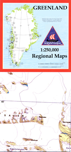
Topographic survey of Greenland at 1:250,000 from Sagamaps in a series which along the western coast extends past Thule to the latitude of 78ยฐ, plus covers selected areas of the east coast including the Stauning Alps. Relief is shown by contours at 50m intervals, augmented by frequent spot heights. Main peaks are named, along with
Covilha
Topographic survey of Portugal at 1:100,000 from the Instituto Geogrรกfico Portuguรชs, the country’s civilian survey organisation. The maps have contours at 50m intervals and in addition to the standard features shown on topographic mapping at this scale also indicate various types of vegetation (vineyards, olive groves, etc). Each sheet covers an area of 64 x
Tasiilaq – Angmassalik
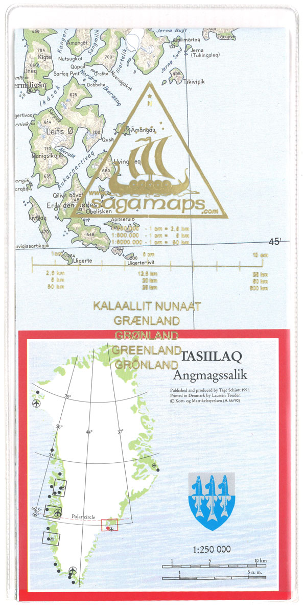
Topographic survey of Greenland at 1:250,000 from Sagamaps in a series which along the western coast extends past Thule to the latitude of 78ยฐ, plus covers selected areas of the east coast including the Stauning Alps. Relief is shown by contours at 50m intervals, augmented by frequent spot heights. Main peaks are named, along with
Ittoqqortoormiit – Scoresbysund
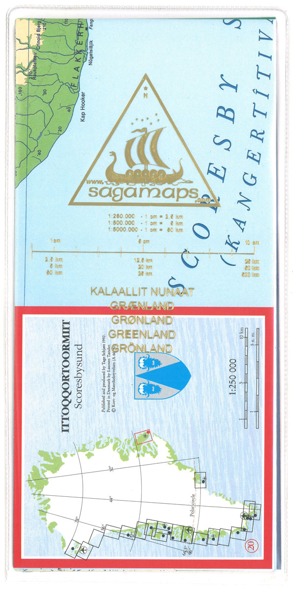
Topographic survey of Greenland at 1:250,000 from Sagamaps in a series which along the western coast extends past Thule to the latitude of 78ยฐ, plus covers selected areas of the east coast including the Stauning Alps. Relief is shown by contours at 50m intervals, augmented by frequent spot heights. Main peaks are named, along with
Nuuk – Godthรฅb Historical Map

Topographic survey of Greenland at 1:250,000 from Sagamaps in a series which along the western coast extends past Thule to the latitude of 78ยฐ, plus covers selected areas of the east coast including the Stauning Alps. Relief is shown by contours at 50m intervals, augmented by frequent spot heights. Main peaks are named, along with
Sisimiut – Holsteinsborg Historical Map

Topographic survey of Greenland at 1:250,000 from Sagamaps in a series which along the western coast extends past Thule to the latitude of 78ยฐ, plus covers selected areas of the east coast including the Stauning Alps. Relief is shown by contours at 50m intervals, augmented by frequent spot heights. Main peaks are named, along with
Qeqertassuup Tunua Historical Map

Topographic survey of Greenland at 1:250,000 from Sagamaps in a series which along the western coast extends past Thule to the latitude of 78ยฐ, plus covers selected areas of the east coast including the Stauning Alps. Relief is shown by contours at 50m intervals, augmented by frequent spot heights. Main peaks are named, along with
Tasiilak Historical Map

Topographic survey of Greenland at 1:250,000 from Sagamaps in a series which along the western coast extends past Thule to the latitude of 78ยฐ, plus covers selected areas of the east coast including the Stauning Alps. Relief is shown by contours at 50m intervals, augmented by frequent spot heights. Main peaks are named, along with
Chilpancingo
Topographic mapping from Mexico’s national survey agency, Instituto Nacional de Estadรญstica, Geografรญa e Informรกtica. The maps have contours at 20m intervals with relief shading and indicate various types of terrain and vegetation, e.g. dense vegetation, cultivated areas, swamps, sand dunes, salt pans, etc. UTM grid is at 10km intervals, with latitude and longitude shown by
Oaxaca

Topographic mapping from Mexico’s national survey agency, Instituto Nacional de Estadรญstica, Geografรญa e Informรกtica. The maps have contours at 20m intervals with relief shading and indicate various types of terrain and vegetation, e.g. dense vegetation, cultivated areas, swamps, sand dunes, salt pans, etc. UTM grid is at 10km intervals, with latitude and longitude shown by


