Category Archives: Maps
Stanford`s Folio Smaller Railway Map of the United States (1876) – A2 Wall Map, Canvas – Print on Demand
Stanford`s Folio Smaller Railway Map of the United States (1876) – A1 Wall Map, Paper
Stanford`s Folio Smaller Railway Map of the United States (1876) – A1 Wall Map, Canvas
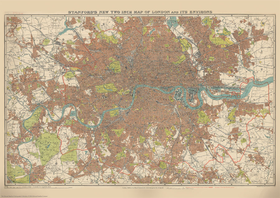
Stanford`s New Two Inch Map of London (1913) – A3 Wall Map, Paper
Stanford`s New Two Inch Map of London (1913) – A3 Wall Map, Canvas
Stanford`s New Two Inch Map of London (1913) – A2 Wall Map, Paper
Stanford`s New Two Inch Map of London (1913) – A2 Wall Map, Canvas – Print on Demand
Stanford`s New Two Inch Map of London (1913) – A1 Wall Map, Paper
World Geological Wall Map LARGE, PAPER
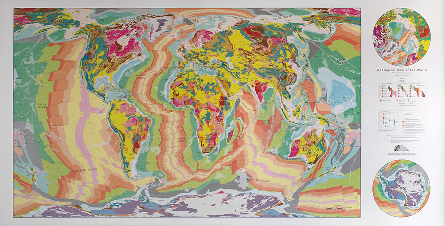
Beautifully presented geological wall map of the world – size 196x100cm (77″x39.5″ approx), paper version – designed to appeal to anyone who wants to enhance their room with a bold splash of colour. The map is produced using the lithographic printing process in 10 metallic ink colours on high quality FSC approved silk-coated paper. Published
Stanford`s New Two Inch Map of London (1913) – A1 Wall Map, Canvas
World Geological Wall Map LARGE, PLASTIC-COATED

Beautifully presented geological wall map of the world – size 196x100cm (77″x39.5″ approx), plastic coated version – designed to appeal to anyone who wants to enhance their room with a bold splash of colour. The map is produced using the lithographic printing process in 10 metallic ink colours on high quality FSC approved silk-coated paper.
Stanford`s Library Map of London and its Suburbs (1878) – A3 Wall Map, Paper
Stanford`s Library Map of London and its Suburbs (1878) – A3 Wall Map, Canvas
Stanford`s Library Map of London and its Suburbs (1878) – A2 Wall Map, Paper
Stanford`s Folio Smaller Railway Map of the United States (1876) – A3 Wall Map, Paper – Print on Demand
Stanford`s Special Edition Folio British Isles Map (1884) – A3 Wall Map, Paper

The Stanford’s British Isles Map is from a fascinating series of reproductions from our Edward Stanford Cartographic Collection archive.Published in 1884, this map shows the British Isles with their old historic counties. Bright colours highlight the boundaries of the old counties as they were. The pale background makes all the place names easy to read.


