Category Archives: Maps
NGA Chart 95016 – Sea of Japan

Produced by the US Government, National Geospatial-Intelligence Agency (NGA) charts provide information for the International Waters. They are printed on demand at our London shop and are supplied as flat charts.PLEASE NOTE: NGA charts are not updated often, therefore some may no longer be suitable for safe navigation and should be used for reference only.
NGA Chart 96012 – Sea of Japan to Sea of Okhotskostrov Sak
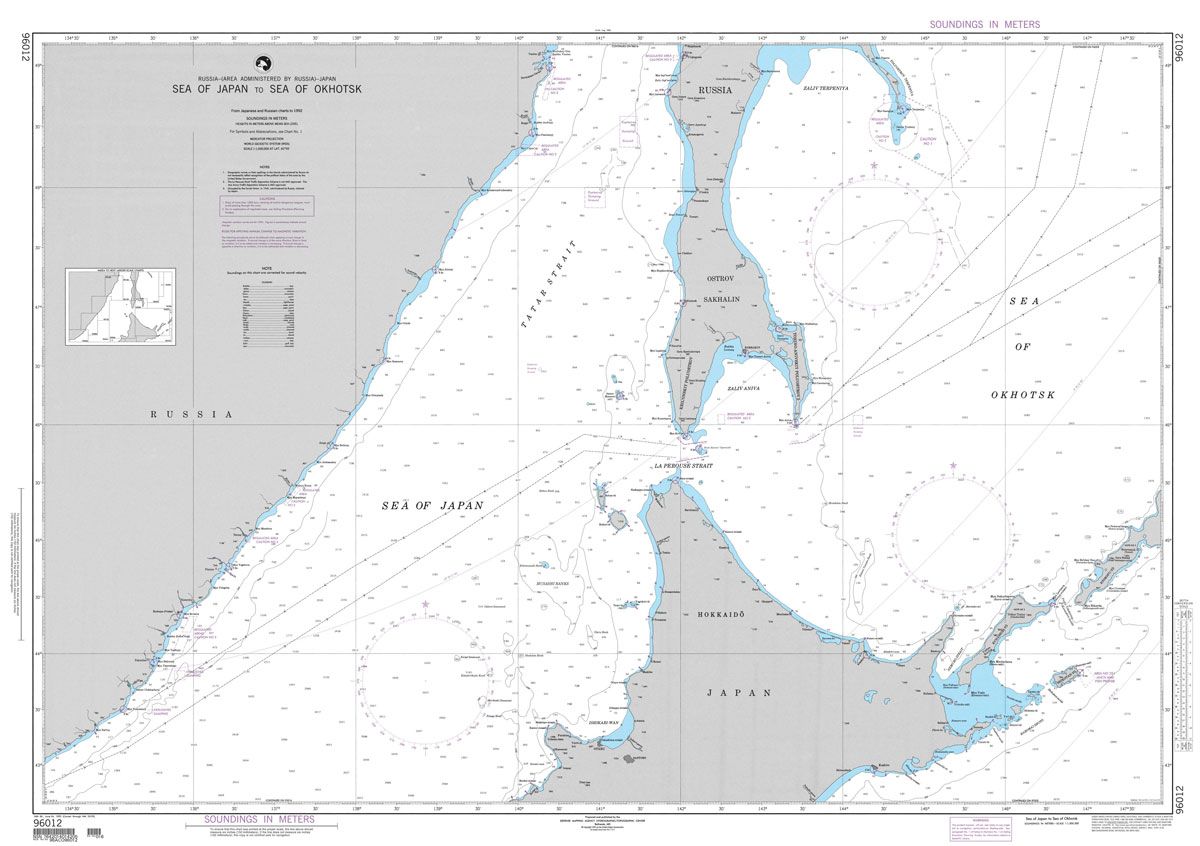
Produced by the US Government, National Geospatial-Intelligence Agency (NGA) charts provide information for the International Waters. They are printed on demand at our London shop and are supplied as flat charts.PLEASE NOTE: NGA charts are not updated often, therefore some may no longer be suitable for safe navigation and should be used for reference only.
Waikaremoana – Te Urewera NewTopo Walking Map

Lake Waikaremoana in the Te Urewera National Park at 1:55,000 in a series of contoured and GPS compatible maps from NewTopo NZ Ltd, with exceptionally vivid presentation of the terrain, routes clearly highlighted, and symbols to show locations of various facilities. The overprint shows local walking and tramping routes including the 46-km Lake Waikaremoana Great
Arthur`s Pass

Arthur`s Pass area at 1:65,000 in a series of contoured and GPS compatible maps from NewTopo NZ Ltd, with exceptionally vivid presentation of the terrain, routes clearly highlighted, and symbols to show locations of various facilities. The map indicates which of the tracks are part of the Te Araroa long-distance trail and in addition to
Aoraki / Mount Cook

Aoraki / Mount Cook area at 1:65,000 in a series of contoured and GPS compatible maps from NewTopo NZ Ltd, with exceptionally vivid presentation of the terrain, routes clearly highlighted and symbols to show locations of various facilities. The overprint distinguishes between walking tracks, tramping tracks, tramping routes and lightly marked routes. Also marked is
Stanford`s Library Map of South America (1864) – Original Size Wall Map, PDF/TIFF

The Stanford’s Map of South America is from a fascinating series of reproductions from our Edward Stanford Cartographic Collection archive. This reproduction of a map published in 1879 by the founder of our company, Edward Stanford. It was constructed in 1864 by Alexander Keith Johnston who was a geographer in Edinburgh for the Queen. The
Stanfords Tube & Railway Map (Central London Small) – VERSION C

London Central Tube & Railway Map with all tube lines, DLR, Overground, and Railway Network services in the Stanfords Tube Maps (PRINT ON DEMAND/FLAT MAPS) series, covering zones 1 to 2, and partially zones 3 and 4. The map is produced in-house by the digital department at our London store and has been designed by
NGA Chart 72035 – Eastern Portion of Java
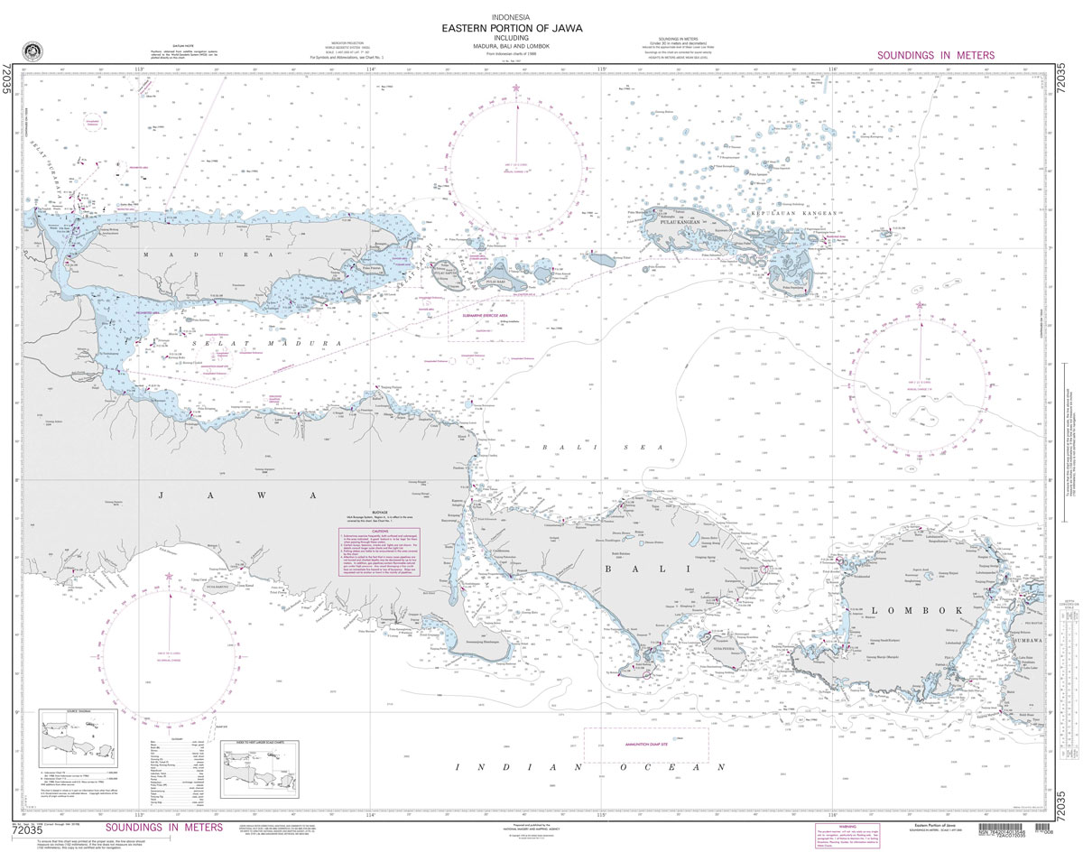
Produced by the US Government, National Geospatial-Intelligence Agency (NGA) charts provide information for the International Waters. They are printed on demand at our London shop and are supplied as flat charts.PLEASE NOTE: NGA charts are not updated often, therefore some may no longer be suitable for safe navigation and should be used for reference only.
Stanfords Tube & Railway Map (Central London Small) – VERSION B

London Central Tube & Railway Map with all tube lines, DLR, Overground, and Railway Network services in the Stanfords Tube Maps (PRINT ON DEMAND/FLAT MAPS) series, covering zones 1 to 2, and partially zones 3 and 4. The map is produced in-house by the digital department at our London store and has been designed by
NGA Chart 72045 – Selat Bali to Tembuk Saleh
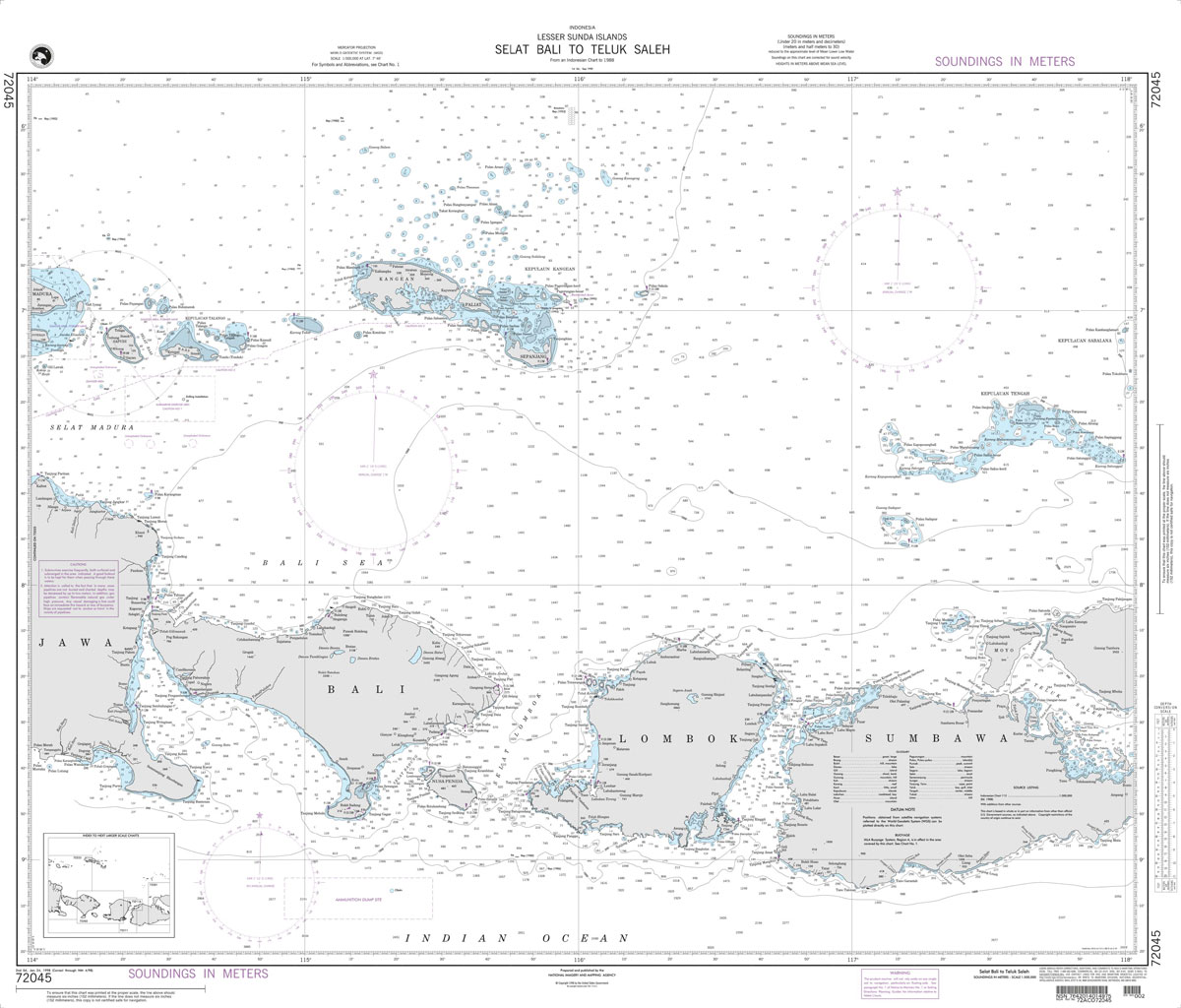
Produced by the US Government, National Geospatial-Intelligence Agency (NGA) charts provide information for the International Waters. They are printed on demand at our London shop and are supplied as flat charts.PLEASE NOTE: NGA charts are not updated often, therefore some may no longer be suitable for safe navigation and should be used for reference only.
Bedfordshire 1884

Surrey in a series of cloth-backed reproductions from the Old Folding Maps of county maps published in late 19th century by Letts, Son & Co, with colouring and symbols providing a wealth of information, including towns where County Courts and Quarter Sessions are held, municipal boroughs, parliamentary county and borough boundaries with the number of
NGA Chart 73002 – Flores Sea [and Nusa Tenggara] Indonesia

Produced by the US Government, National Geospatial-Intelligence Agency (NGA) charts provide information for the International Waters. They are printed on demand at our London shop and are supplied as flat charts.PLEASE NOTE: NGA charts are not updated often, therefore some may no longer be suitable for safe navigation and should be used for reference only.
Cumberland 1884

Surrey in a series of cloth-backed reproductions from the Old Folding Maps of county maps published in late 19th century by Letts, Son & Co, with colouring and symbols providing a wealth of information, including towns where County Courts and Quarter Sessions are held, municipal boroughs, parliamentary county and borough boundaries with the number of
NGA Chart 73004 – Timor and Adjacent Islands, Indonesia

Produced by the US Government, National Geospatial-Intelligence Agency (NGA) charts provide information for the International Waters. They are printed on demand at our London shop and are supplied as flat charts.PLEASE NOTE: NGA charts are not updated often, therefore some may no longer be suitable for safe navigation and should be used for reference only.
Devon 1884

Surrey in a series of cloth-backed reproductions from the Old Folding Maps of county maps published in late 19th century by Letts, Son & Co, with colouring and symbols providing a wealth of information, including towns where County Courts and Quarter Sessions are held, municipal boroughs, parliamentary county and borough boundaries with the number of
NGA Chart 91005 – Philippines Central Parts
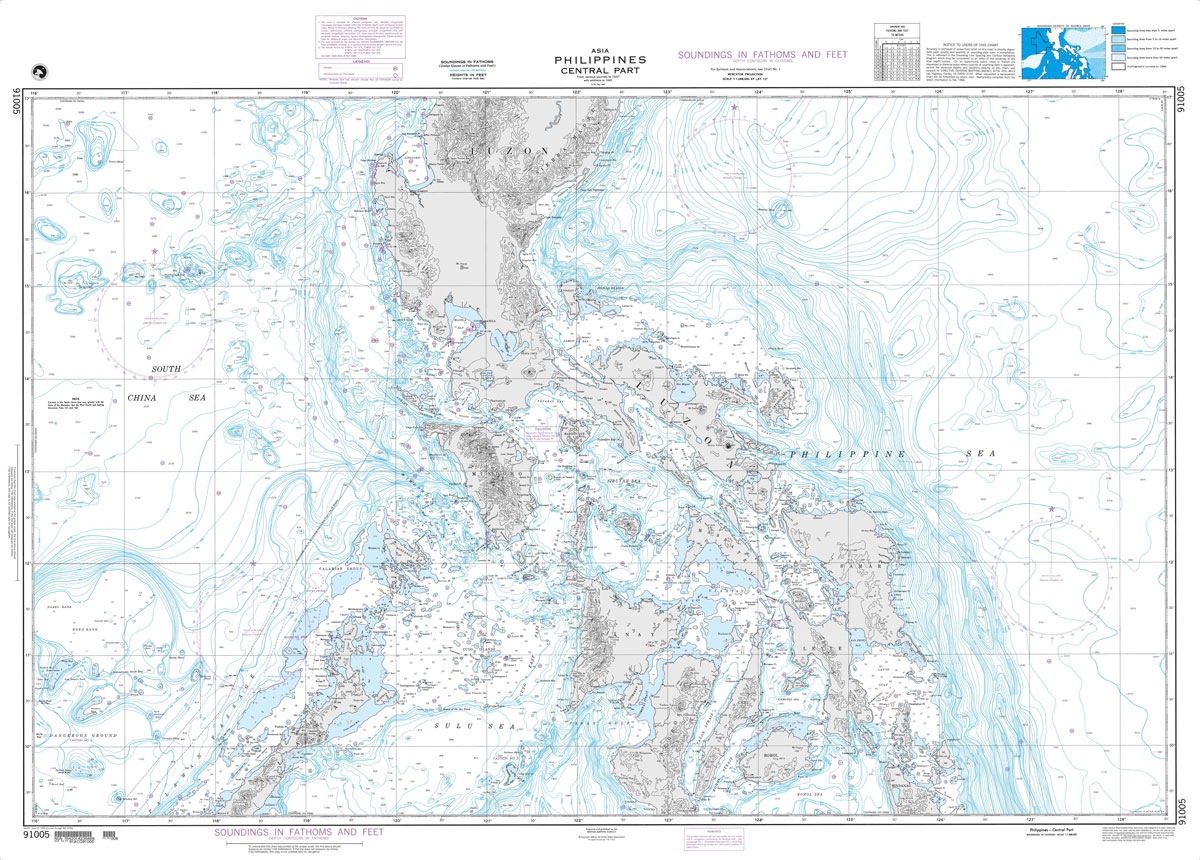
Produced by the US Government, National Geospatial-Intelligence Agency (NGA) charts provide information for the International Waters. They are printed on demand at our London shop and are supplied as flat charts.PLEASE NOTE: NGA charts are not updated often, therefore some may no longer be suitable for safe navigation and should be used for reference only.
NGA Chart 93006 – Macau to Taiwan Strait
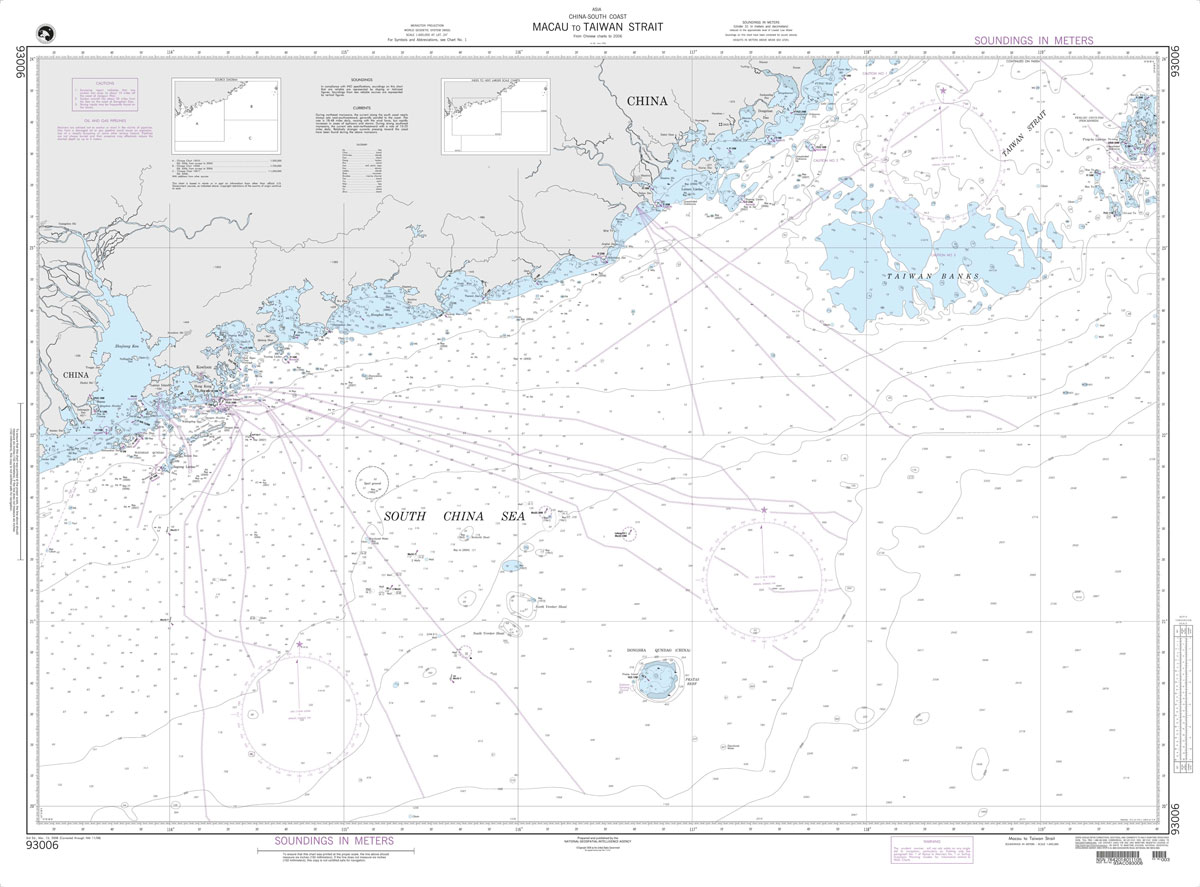
Produced by the US Government, National Geospatial-Intelligence Agency (NGA) charts provide information for the International Waters. They are printed on demand at our London shop and are supplied as flat charts.PLEASE NOTE: NGA charts are not updated often, therefore some may no longer be suitable for safe navigation and should be used for reference only.
NGA Chart 93010 – Gulf of Thailand

Produced by the US Government, National Geospatial-Intelligence Agency (NGA) charts provide information for the International Waters. They are printed on demand at our London shop and are supplied as flat charts.PLEASE NOTE: NGA charts are not updated often, therefore some may no longer be suitable for safe navigation and should be used for reference only.
NGA Chart 29040 – South Georgia

Produced by the US Government, National Geospatial-Intelligence Agency (NGA) charts provide information for the International Waters. They are printed on demand at our London shop and are supplied as flat charts.PLEASE NOTE: NGA charts are not updated often, therefore some may no longer be suitable for safe navigation and should be used for reference only.
NGA Chart 62028 – Gulf of Oman and Adjacent Coasts – Karachi to Jazirat Masirah

Produced by the US Government, National Geospatial-Intelligence Agency (NGA) charts provide information for the International Waters. They are printed on demand at our London shop and are supplied as flat charts.PLEASE NOTE: NGA charts are not updated often, therefore some may no longer be suitable for safe navigation and should be used for reference only.


