Category Archives: Maps
Yorkshire West Riding c1884

Surrey in a series of cloth-backed reproductions from the Old Folding Maps of county maps published in late 19th century by Letts, Son & Co, with colouring and symbols providing a wealth of information, including towns where County Courts and Quarter Sessions are held, municipal boroughs, parliamentary county and borough boundaries with the number of
Snowdon c1882

Surrey in a series of cloth-backed reproductions from the Old Folding Maps of county maps published in late 19th century by Letts, Son & Co, with colouring and symbols providing a wealth of information, including towns where County Courts and Quarter Sessions are held, municipal boroughs, parliamentary county and borough boundaries with the number of
Dorset 1884
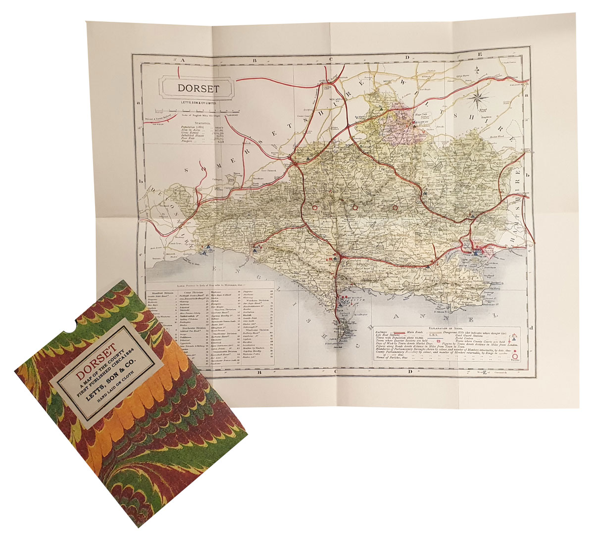
Surrey in a series of cloth-backed reproductions from the Old Folding Maps of county maps published in late 19th century by Letts, Son & Co, with colouring and symbols providing a wealth of information, including towns where County Courts and Quarter Sessions are held, municipal boroughs, parliamentary county and borough boundaries with the number of
Bath 1837

Surrey in a series of cloth-backed reproductions from the Old Folding Maps of county maps published in late 19th century by Letts, Son & Co, with colouring and symbols providing a wealth of information, including towns where County Courts and Quarter Sessions are held, municipal boroughs, parliamentary county and borough boundaries with the number of
Gloucestershire 1884

Surrey in a series of cloth-backed reproductions from the Old Folding Maps of county maps published in late 19th century by Letts, Son & Co, with colouring and symbols providing a wealth of information, including towns where County Courts and Quarter Sessions are held, municipal boroughs, parliamentary county and borough boundaries with the number of
Brighton 1895

Surrey in a series of cloth-backed reproductions from the Old Folding Maps of county maps published in late 19th century by Letts, Son & Co, with colouring and symbols providing a wealth of information, including towns where County Courts and Quarter Sessions are held, municipal boroughs, parliamentary county and borough boundaries with the number of
Lancashire 1884

Surrey in a series of cloth-backed reproductions from the Old Folding Maps of county maps published in late 19th century by Letts, Son & Co, with colouring and symbols providing a wealth of information, including towns where County Courts and Quarter Sessions are held, municipal boroughs, parliamentary county and borough boundaries with the number of
Bristol 1872

Surrey in a series of cloth-backed reproductions from the Old Folding Maps of county maps published in late 19th century by Letts, Son & Co, with colouring and symbols providing a wealth of information, including towns where County Courts and Quarter Sessions are held, municipal boroughs, parliamentary county and borough boundaries with the number of
Middlesex 1884

Surrey in a series of cloth-backed reproductions from the Old Folding Maps of county maps published in late 19th century by Letts, Son & Co, with colouring and symbols providing a wealth of information, including towns where County Courts and Quarter Sessions are held, municipal boroughs, parliamentary county and borough boundaries with the number of
Dublin 1797

Surrey in a series of cloth-backed reproductions from the Old Folding Maps of county maps published in late 19th century by Letts, Son & Co, with colouring and symbols providing a wealth of information, including towns where County Courts and Quarter Sessions are held, municipal boroughs, parliamentary county and borough boundaries with the number of
Geological Map of Scotland c1860

Surrey in a series of cloth-backed reproductions from the Old Folding Maps of county maps published in late 19th century by Letts, Son & Co, with colouring and symbols providing a wealth of information, including towns where County Courts and Quarter Sessions are held, municipal boroughs, parliamentary county and borough boundaries with the number of
Argyll and Bute c1882

Surrey in a series of cloth-backed reproductions from the Old Folding Maps of county maps published in late 19th century by Letts, Son & Co, with colouring and symbols providing a wealth of information, including towns where County Courts and Quarter Sessions are held, municipal boroughs, parliamentary county and borough boundaries with the number of
Cornwall c1885

Surrey in a series of cloth-backed reproductions from the Old Folding Maps of county maps published in late 19th century by Letts, Son & Co, with colouring and symbols providing a wealth of information, including towns where County Courts and Quarter Sessions are held, municipal boroughs, parliamentary county and borough boundaries with the number of
County Donegal c1884

Surrey in a series of cloth-backed reproductions from the Old Folding Maps of county maps published in late 19th century by Letts, Son & Co, with colouring and symbols providing a wealth of information, including towns where County Courts and Quarter Sessions are held, municipal boroughs, parliamentary county and borough boundaries with the number of
County Dublin c1884

Surrey in a series of cloth-backed reproductions from the Old Folding Maps of county maps published in late 19th century by Letts, Son & Co, with colouring and symbols providing a wealth of information, including towns where County Courts and Quarter Sessions are held, municipal boroughs, parliamentary county and borough boundaries with the number of
County Durham c1884

Surrey in a series of cloth-backed reproductions from the Old Folding Maps of county maps published in late 19th century by Letts, Son & Co, with colouring and symbols providing a wealth of information, including towns where County Courts and Quarter Sessions are held, municipal boroughs, parliamentary county and borough boundaries with the number of
County of Edinburgh c1882

Surrey in a series of cloth-backed reproductions from the Old Folding Maps of county maps published in late 19th century by Letts, Son & Co, with colouring and symbols providing a wealth of information, including towns where County Courts and Quarter Sessions are held, municipal boroughs, parliamentary county and borough boundaries with the number of
Middlesex c1800

Surrey in a series of cloth-backed reproductions from the Old Folding Maps of county maps published in late 19th century by Letts, Son & Co, with colouring and symbols providing a wealth of information, including towns where County Courts and Quarter Sessions are held, municipal boroughs, parliamentary county and borough boundaries with the number of
NGA Chart 72035 – Eastern Portion of Java
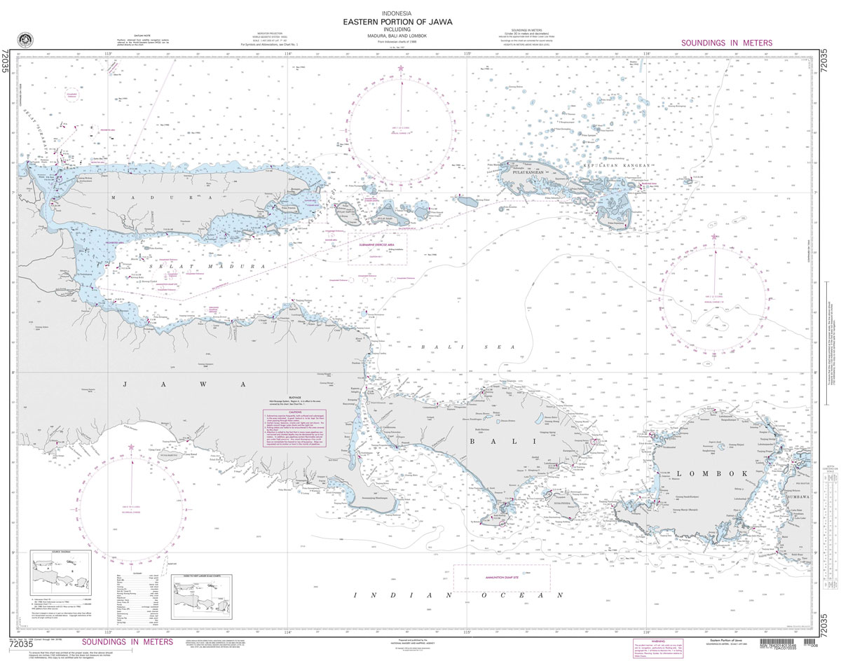
Produced by the US Government, National Geospatial-Intelligence Agency (NGA) charts provide information for the International Waters. They are printed on demand at our London shop and are supplied as flat charts.PLEASE NOTE: NGA charts are not updated often, therefore some may no longer be suitable for safe navigation and should be used for reference only.
Stanfords Tube & Railway Map (Central London Small) – VERSION B

London Central Tube & Railway Map with all tube lines, DLR, Overground, and Railway Network services in the Stanfords Tube Maps (PRINT ON DEMAND/FLAT MAPS) series, covering zones 1 to 2, and partially zones 3 and 4. The map is produced in-house by the digital department at our London store and has been designed by


