Category Archives: Maps
Stanford`s Library Map of London (1862) 24 Sheet Set A1

This map covering Victorian London during a period of rapid expansion and improvement is from a fascinating series of reproductions from our Edward Stanford Cartographic Collection archive.Stanford’s Library Map is one of the great maps of London. It shows the city at a key time of the development of the metropolis and the impact of
Edinburgh 1844
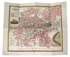
Surrey in a series of cloth-backed reproductions from the Old Folding Maps of county maps published in late 19th century by Letts, Son & Co, with colouring and symbols providing a wealth of information, including towns where County Courts and Quarter Sessions are held, municipal boroughs, parliamentary county and borough boundaries with the number of
Whole Wide World AmazingWorld Wall Map
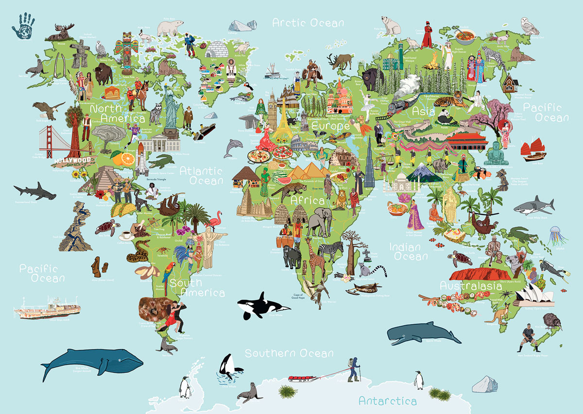
A visual journey around the world for curious little explorers!This lovingly crafted map introduces little ones to the many wonders awaiting them around the world. The Whole Wide World Map is aimed to inspire and instil a thirst for knowledge and travel. Spark up conversations and fuel their curiosity to guide them as they discover
York 1895

Surrey in a series of cloth-backed reproductions from the Old Folding Maps of county maps published in late 19th century by Letts, Son & Co, with colouring and symbols providing a wealth of information, including towns where County Courts and Quarter Sessions are held, municipal boroughs, parliamentary county and borough boundaries with the number of
Cambridge 1895

Surrey in a series of cloth-backed reproductions from the Old Folding Maps of county maps published in late 19th century by Letts, Son & Co, with colouring and symbols providing a wealth of information, including towns where County Courts and Quarter Sessions are held, municipal boroughs, parliamentary county and borough boundaries with the number of
Environs of Edinburgh 1882

Surrey in a series of cloth-backed reproductions from the Old Folding Maps of county maps published in late 19th century by Letts, Son & Co, with colouring and symbols providing a wealth of information, including towns where County Courts and Quarter Sessions are held, municipal boroughs, parliamentary county and borough boundaries with the number of
Uzbekistan Gizi Map Wall Map
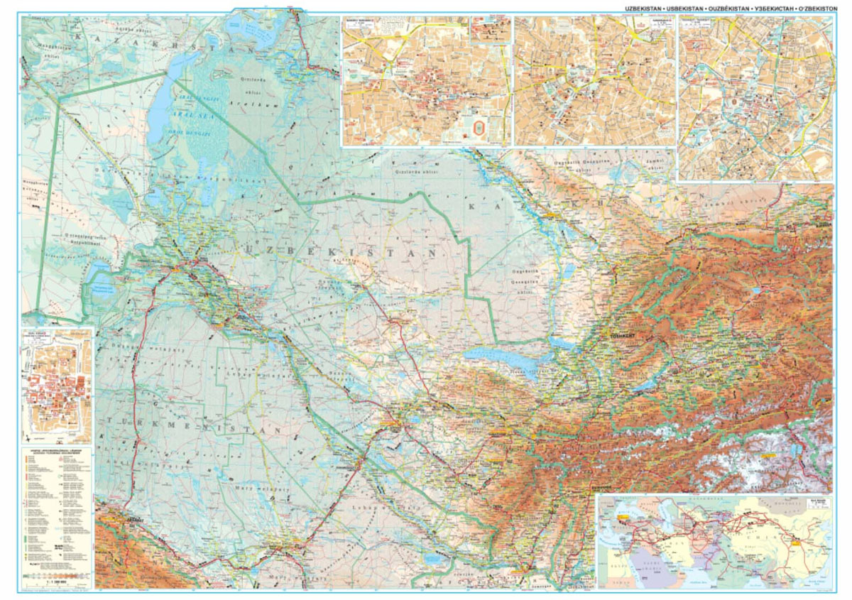
Uzbekistan at 1:1,300,000 from Gizi Map with excellent presentation of the country’s deserts and mountainous terrain through bold altitude colouring and plenty of names of natural features, the old Silk Routes network highlighted, plus street plans of Tashkent, Bukhara, Samarkand and Khiva. All place names are in the Latin alphabet.Topography with spot heights and graphics
Tajikistan – The Pamirs Gizi Map Wall Map
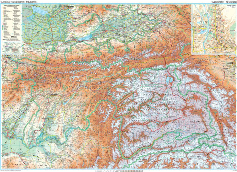
Tajikistan at 1:650,000 from Gizi Map with excellent presentation of the country’s mountainous terrain through bold altitude colouring and plenty of names of natural features, the old Silk Routes network highlighted, plus a street plan of Dushanbe. All place names are in the Latin alphabet.Topography with spot heights and graphics for swamps, salt flats and
New Zealand, North and South Island c.1900
A reproduction antique map of New Zealand, Tasmania, Sandwich Islands, & Fiji circa 1900. Dissected and hand laid on cloth with a unique hand-made slip case.Paper maps are delicate things. Travellers from Georgian times onwards would have to protect their maps from all the dangers they faced on the open road. The maps were expensive,
Ocean Currents World Map A1 size
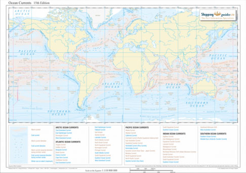
This is a Special Order only item.Ships within 4-7 days from placing an order.A comprehensive global map which indicates the speed and direction of warm and cold currents, including seasonal directions, in the Arctic, Atlantic, Pacific, Indian and Southern Oceans.Warm and cold currents are listed below the map, covering the world ocean by ocean.The map
Ocean Currents World Map A0 size

This is a Special Order only item.Ships within 4-7 days from placing an order.A comprehensive global map which indicates the speed and direction of warm and cold currents, including seasonal directions, in the Arctic, Atlantic, Pacific, Indian and Southern Oceans.Warm and cold currents are listed below the map, covering the world ocean by ocean.The map
Global Wind Patterns World Map A1 size
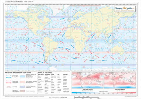
The Global Wind Patterns map demonstrates extensive international wind patterns and global air pressure.The map depicts directions of prevailing and local winds for northern and southern winters, including major high and low global air pressure zones.Two inset maps show the global northern and southern winter air pressure distribution and winds are listed by continent for
Global Wind Patterns World Map A0 size
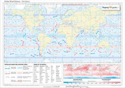
The Global Wind Patterns map demonstrates extensive international wind patterns and global air pressure.The map depicts directions of prevailing and local winds for northern and southern winters, including major high and low global air pressure zones.Two inset maps show the global northern and southern winter air pressure distribution and winds are listed by continent for
World Colouring Map
Glasgow 1872

Surrey in a series of cloth-backed reproductions from the Old Folding Maps of county maps published in late 19th century by Letts, Son & Co, with colouring and symbols providing a wealth of information, including towns where County Courts and Quarter Sessions are held, municipal boroughs, parliamentary county and borough boundaries with the number of
Environs of Glasgow 1882

Surrey in a series of cloth-backed reproductions from the Old Folding Maps of county maps published in late 19th century by Letts, Son & Co, with colouring and symbols providing a wealth of information, including towns where County Courts and Quarter Sessions are held, municipal boroughs, parliamentary county and borough boundaries with the number of
Stanford`s Map of the County of London (1888) – Full Sheet Wall Map, Paper

This map is from a fascinating series of reproductions from our Edward Stanford Cartographic Collection archive.The Stanford’s Map of the County of London, According to the Local Government Act 1888, to give it its full title, presenting the administrative division of the capital and indicating the boundaries of both the Electoral Divisions returning two members
Cornwall c1885

Surrey in a series of cloth-backed reproductions from the Old Folding Maps of county maps published in late 19th century by Letts, Son & Co, with colouring and symbols providing a wealth of information, including towns where County Courts and Quarter Sessions are held, municipal boroughs, parliamentary county and borough boundaries with the number of
County Donegal c1884

Surrey in a series of cloth-backed reproductions from the Old Folding Maps of county maps published in late 19th century by Letts, Son & Co, with colouring and symbols providing a wealth of information, including towns where County Courts and Quarter Sessions are held, municipal boroughs, parliamentary county and borough boundaries with the number of


