Category Archives: Maps
Skopje Panoramic Street Plan
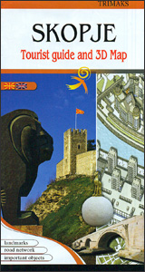
Skopje’s city centre on both sides of the Vardar River on a lovely street plan from the local publishers Trimaks, with buildings drawn in 3-D vividly presenting the capital’s mixture of old buildings, the communist era architecture, and more recent additions. 68 locations, including museums and cultural institutions, selected embassies and other public buildings, historic
Ukraine – Moldova Gizi Map
Ukraine with Moldova on an indexed road map at 1:1,100,000 from Gizi Map, with an enlargement showing southern Crimea in greater detail, plus street plans of central Kiev and Lviv. All place names are shown transliterated into Latin alphabet, with those of major cities also given in their Cyrillic versions.Altitude colouring with relief shading indicates
New Zealand AmazingWorld Wall Map
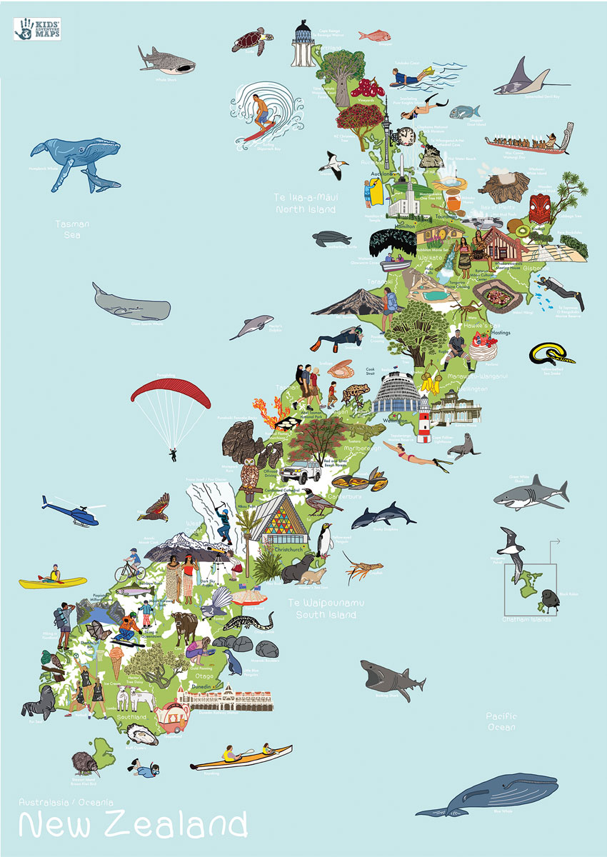
A visual journey of New Zealand for curious little explorers!This lovingly crafted map introduces little ones to the many wonders that exist in New Zealand. The Amazing World New Zealand Map is aimed to inspire and instil a thirst for knowledge and travel. Spark up conversations and fuel their curiosity to guide them as they
Dinosaur Jungle World AmazingWorld Wall Map
Admiralty Chart SC5614_15 – River Humber Entrance
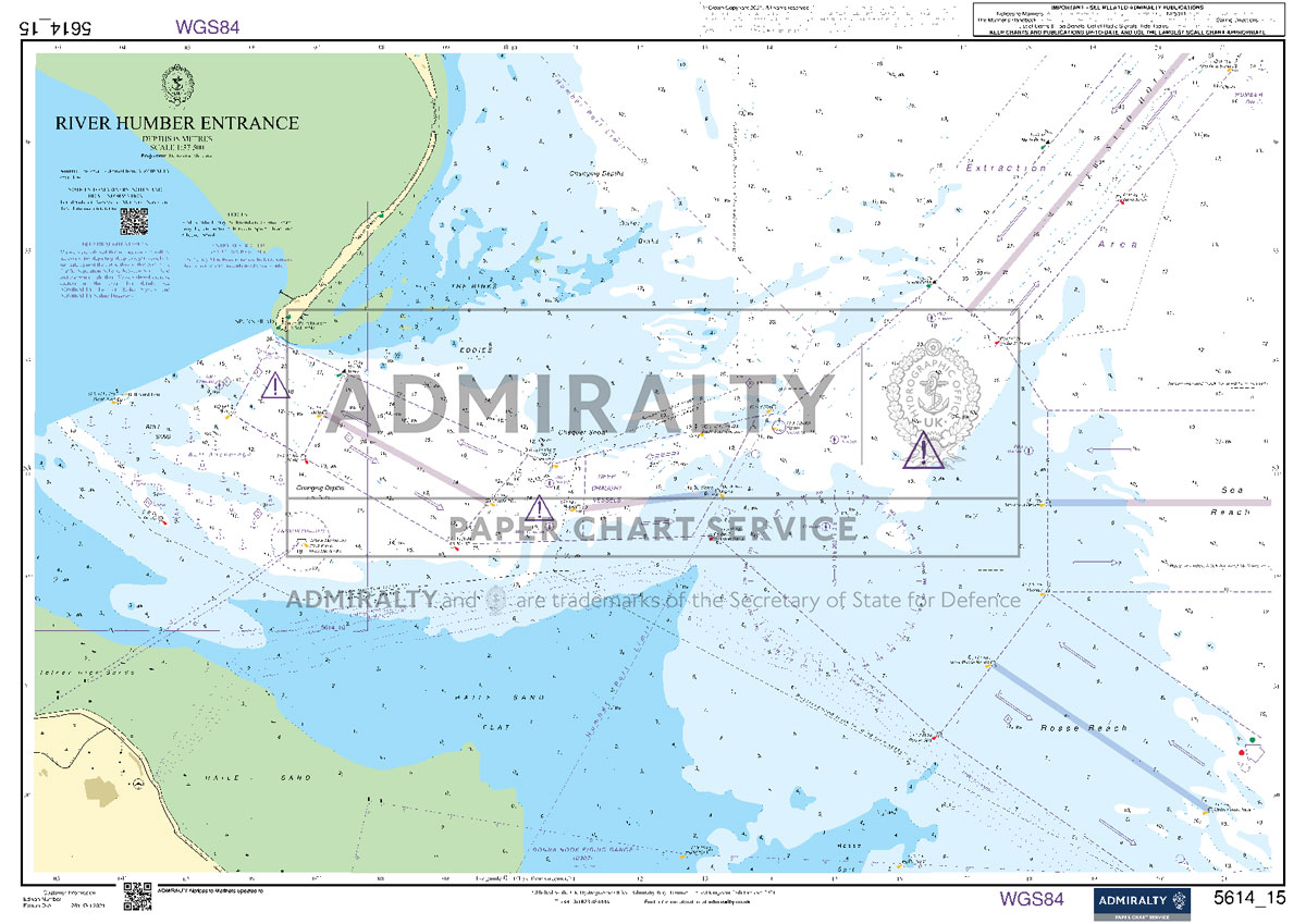
NEWAdmiralty Small Craft nautical charts comply with Safety of Life at Sea (SOLAS) regulations and are ideal for professional, commercial and recreational use. Charts within the series consist of a range of scales, useful for passage planning, coastal navigation and entering port.All Admiralty Small Craft nautical charts are A2 size, 590x420mm.This chart was previously a
World Colouring Map 1020 x 595 mm
Make learning fun and be creative. Buy this simple World map as a gift, or for you and your family to colour and help learn the countries at the same time.
Admiralty Chart SC5603_13 – Falmouth Harbour – Upper Reaches of the Percuil River – Penryn Harbour
NEWAdmiralty Small Craft nautical charts comply with Safety of Life at Sea (SOLAS) regulations and are ideal for professional, commercial and recreational use. Charts within the series consist of a range of scales, useful for passage planning, coastal navigation and entering port.All Admiralty Small Craft nautical charts are A2 size, 590x420mm.This chart was previously a
Piatra Craiului Mountains
Piatra Craiului Mountains at 1:30,000 on a contoured map highlighting hiking routes. Topography is shown by contours at 50m intervals with additional relief shading and colouring for woodlands. An overprint highlights hiking routes, indicating their waymarking signs. Also marked are mountain huts and refuges. The map has no geographical coordinates. Map legend includes English.On the
Bucegi Mountains
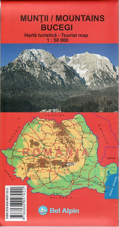
Bucegi Mountains at 1:50,000 on a contoured map from Bel Alpin, highlighting local waymarked hiking routes, listed on the reverse side with markings and timings, plus a street plan of Sinaia showing locations of hotels.The map shows the topography by contours at 100m intervals and additional colouring for woodlands. An overprint highlights hiking routes, indicating
Retezat Mountains Bel Alpin Tourist Map
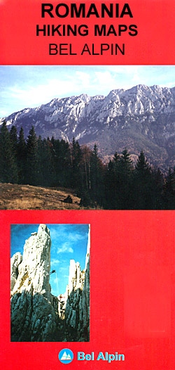
Retezat Mountains in Romania on a detailed, contoured and GPS compatible, waterproof and tear-resistant map at 1:50,000 from Bel Alpin, highlighting local hiking trails, plus brief descriptions of 29 selected routes provided on the reverse, and a road map of the surrounding area.The map has contours at 20m intervals with additional relief shading and colouring
Transfagaras Road and Tourist Map
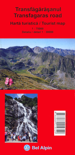
Transfagaras Road, Romania’s most spectacular mountain road across the Fagaras Mountains, on a detailed road map from Bel Alpin showing the whole route at 1:75,000, with its winding central section at 1:30,000, plus extensive English language notes including 15 hiking routes.The map presents the whole traverse of the Fagaras Mountains, opened completely only from June
Cindrel Mountains

Cindrel Mountains at 1:50,000 from Bel Alpin on a detailed, contoured, GPS compatible map highlighting local hiking trails, with brief descriptions of 19 selected routes provided on the reverse side of the map.The map has contours at 20m intervals with additional relief shading and colouring for woodlands. An overprint highlights hiking routes, indicating their waymarking
Retezat Mountains

Retezat Mountains in Romania on a detailed, contoured and GPS compatible, waterproof and tear-resistant map at 1:50,000 from Bel Alpin, highlighting local hiking trails, plus brief descriptions of 29 selected routes provided on the reverse, and a road map of the surrounding area.The map has contours at 20m intervals with additional relief shading and colouring
United Kingdom AmazingWorld Wall Map

A visual journey of the United Kingdom for curious little explorers!This lovingly crafted map introduces little ones to the many wonders that exist on the British Isles. The Amazing World UK Map is aimed to inspire and instil a thirst for knowledge and travel. Spark up conversations and fuel their curiosity to guide them as
London AmazingWorld Wall Map
Puebla City Plan
Detailed street map of Puebla City, distinguishing several types of roads from divided highways to minor roads. Shows numbered highways, districts, airports, public buildings, hospitals, markets, churches, archaeological sites, points of interest and landmarks eg. museums, libraries, monuments, schools, golf courses, sports arenas, parks, and state and municipal boundaries. Indexed for streets and places. Legend
USA AmazingWorld Wall Map

A visual journey of the United States of America for curious little explorers!This lovingly crafted map introduces little ones to the many wonders that exist in the USA. The Amazing World USA Map is aimed to inspire and instil a thirst for knowledge and travel. Spark up conversations and fuel their curiosity to guide them
Australia AmazingWorld Wall Map

A visual journey of Australia for curious little explorers!This lovingly crafted map introduces little ones to the many wonders that exist down under. The Amazing World Australia Map is aimed to inspire and instil a thirst for knowledge and travel. Spark up conversations and fuel their curiosity to guide them as they discover more about
Tajikistan – The Pamirs Gizi Map Wall Map
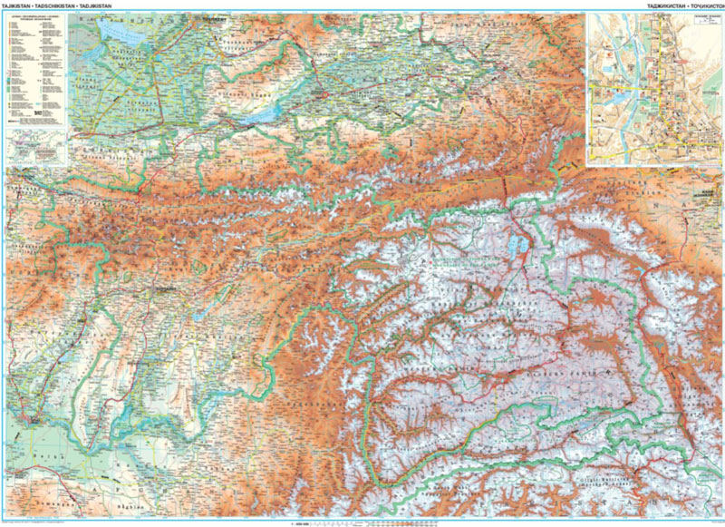
Tajikistan at 1:650,000 from Gizi Map with excellent presentation of the country’s mountainous terrain through bold altitude colouring and plenty of names of natural features, the old Silk Routes network highlighted, plus a street plan of Dushanbe. All place names are in the Latin alphabet.Topography with spot heights and graphics for swamps, salt flats and


