Category Archives: Maps
Ancient Luang Prabang & Laos

The first edition of Ancient Luang Prabang was published in 2006, and a critically acclaimed revised edition appeared in 2008. This current edition is a substantially revised and updated work, with new sections added as well as additional photographs and the latest research and traveller information. The sections on the temples in Luang Prabang has
Burma`s Spring

“Rosalind Russell has written an extraordinarily beautiful, comprehensive and compelling story of Burma in a remarkably human way – essential reading for anyone interested in understanding Burma today.” Benedict Rogers, author of Burma: A Nation At the Crossroads. “Burma`s Spring is like nothing else written about Burma – compelling, charming and unique. No other book
China Through the Lens of John Thomson 1868 – 1972
Osogovski National Park

Osogovo Mountains in north-eastern Macedonia near the Bulgarian border on detailed map at 1:60,000 from Trimaks, with route profiles of two recommended trails, plus on the reverse notes about the area and a road map of Macedonia. The map covers the area of the area of the Osogovski National Park on the Macedonian side of
Somalia Gizi Map
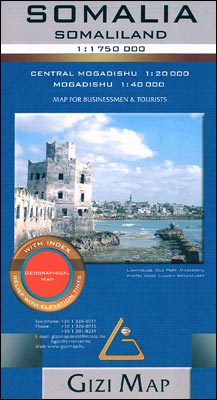
Somalia at 1:1,750,000 from Gizi Map covering the whole territory within the internationally recognized borders of the country and showing its current (autumn 2012) de facto division into Somaliland and Somalia, as well as the self-proclaimed autonomous states within Somalia: Puntland, Galmudug and Jubaland, plus the disputed region claimed by Somaliland but under Puntland administration.
Galicica National Park

Galicica National Park in south-western Macedonia on detailed map at 1:45,000 from Trimaks, showing local hiking trails and recommended cycle routes, also a street plan of the Old Town in Ohrid, examples of local fauna and flora, and a road map of Macedonia. The map covers an area between lakes Ohrid and Prespa, extending north
Macedonia Road Map
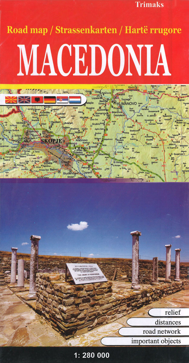
Macedonia at 1:300,000 on an indexed road map from the Skopje-based publishers Trimaks with a vivid presentation of the country’s topography by a combination of relief shading, altitude colouring, spot heights, mountain passes, and names of mountain ranges. All place names are in the Latin alphabet. Road network includes selected local roads and shows locations
Panemuniu – Dubysa – Rambynas Regional Parks
Panemuniu – Dubysa – Rambynas Regional Parks at 1:100,000 in a series GPS compatible regional maps of Lithuania from Alma Littera prominently highlighting each area’s best sights and showing a wide range of other places of interest including campsites. Main roads are graded according to the speed limit; regional and local roads indicate asphalted or
ลฝemaitija National Park

ลฝemaitija National Park at 1:100,000 in a series GPS compatible regional maps of Lithuania from Alma Littera prominently highlighting each area’s best sights and showing a wide range of other places of interest including campsites. Main roads are graded according to the speed limit; regional and local roads indicate asphalted or gravel routes. Driving distances
Kaunas and Environs

Kaunas and Environs at 1:100,000 in a series GPS compatible regional maps of Lithuania from Alma Littera prominently highlighting each area’s best sights and showing a wide range of other places of interest including campsites. Main roads are graded according to the speed limit; regional and local roads indicate asphalted or gravel routes. Driving distances
Anyksciai Regional Park Tourist Map

Anykลกciai Regional Park at 1:100,000 in a series GPS compatible regional maps of Lithuania from Alma Littera prominently highlighting each area’s best sights and showing a wide range of other places of interest including campsites. Main roads are graded according to the speed limit; regional and local roads indicate asphalted or gravel routes. Driving distances
Grazute – Sartai Regional Parks Tourist Map

Graลพute – Sartai Regional Parks at 1:100,000 in a series GPS compatible regional maps of Lithuania from Alma Littera prominently highlighting each area’s best sights and showing a wide range of other places of interest including campsites. Main roads are graded according to the speed limit; regional and local roads indicate asphalted or gravel routes.
St Helena & Dependencies incl. Ascension and Tristan da Cunha Gizi Map

St. Helena at 1:35,000 from Gizi Map, with the other islands of the British Overseas Territories in the Atlantic: Tristan da Cunha, plus Ascension, Inaccessible and Gough Islands at 1:75,000, with superb cartography and places of interest.The map excellently presents the topography of all the islands, with bright colouring and vivid relief shading, accompanied by
Afghanistan – Kabul & 5 Cities Gizi Map
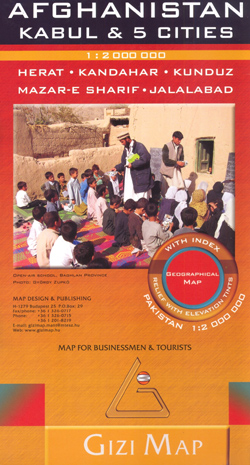
Afghanistan at 1:2,000,000 on an indexed map from Gizi Map, with on the reverse large street plans of Kabul with an enlargement showing its central are in greater detail, plus Kandahar, Herat, Jalalabad, Kunduz and Mazar-e Sharif.On one side is a map of Afghanistan and the whole of Pakistan at 1:2,000,000. Bold altitude colouring clearly
Ethiopia – Eritrea – Djibouti Gizi Map
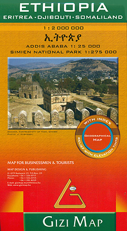
Ethiopia at 1:2,000,000 from Gizi Map with a street plan of central Adis Abeba, plus enlargements of the capital’s environs and the Simen National Park. Excellent presentation of the terrain in the publisher’s characteristic bold altitude colouring with plenty of spot heights and names of peaks, mountain ranges, etc, plus additional graphics for flood plains,
Pakistan Gizi Map

Pakistan and the whole of Afghanistan at 1:2,000,000 from Gizi Map with bold altitude colouring clearly showing the physical geography of these countries and the surrounding region, plus tourist and administrative information.The map shows the road and rail networks, highlighting the course of the different variants of the Silk Route and other locations of historical
Macedonia Wineries Map
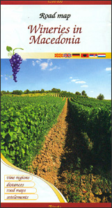
Road Macedonia at 1:300,000 from the Skopje-based publishers Trimaks highlighting locations of wineries, with on the reverse an enlargement showing in greater detail the main wine growing Kavadarci ‘“ Negotino region.On one side a road map of the whole country, framed in a decorative border, is overprinted with icons of wineries, which are also listed
Sudan – South Sudan Gizi Map
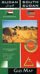
Sudan and South Sudan as separate countries on an excellent indexed map at 1:2,500,000 from Gizi Maps with detailed presentation of the topography, administrative divisions, street plans of Khartoum and Juba, etc.Excellent presentation of the terrain in the publisher’s characteristic style provides a vivid picture of the region’s geography: bold altitude colouring with plenty of
Skopje Panoramic Street Plan
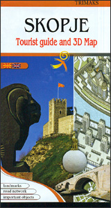
Skopje’s city centre on both sides of the Vardar River on a lovely street plan from the local publishers Trimaks, with buildings drawn in 3-D vividly presenting the capital’s mixture of old buildings, the communist era architecture, and more recent additions. 68 locations, including museums and cultural institutions, selected embassies and other public buildings, historic
Ukraine – Moldova Gizi Map
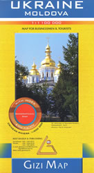
Ukraine with Moldova on an indexed road map at 1:1,100,000 from Gizi Map, with an enlargement showing southern Crimea in greater detail, plus street plans of central Kiev and Lviv. All place names are shown transliterated into Latin alphabet, with those of major cities also given in their Cyrillic versions.Altitude colouring with relief shading indicates


