Category Archives: Maps
Beskid Makowski

Beskid Makowski in a series of detailed maps of Poland’s most popular recreational areas, showing waymarked hiking and cycling routes and various types of overnight accommodation, including local hotels, youth hostels, shelters and mountain huts, campsites, camping on local farms, etc. The maps also show various sport and recreational facilities: swimming pools, equestrian and watersport
Nida River

Nida River (Ponidzie) in a series of detailed maps of Poland’s most popular recreational areas, showing waymarked hiking and cycling routes and various types of overnight accommodation, including local hotels, youth hostels, shelters and mountain huts, campsites, camping on local farms, etc. The maps also show various sport and recreational facilities: swimming pools, equestrian and
Warsaw: Northern Environs

Warsaw`s northern environs in a series of detailed maps of Poland’s most popular recreational areas, showing waymarked hiking and cycling routes and various types of overnight accommodation, including local hotels, youth hostels, shelters and mountain huts, campsites, camping on local farms, etc. The maps also show various sport and recreational facilities: swimming pools, equestrian and
Puszcza Biala and Puszcza Kamieniecka

Puszcza Biala and Puszcza Kamieniecka in a series of detailed maps of Poland’s most popular recreational areas, showing waymarked hiking and cycling routes and various types of overnight accommodation, including local hotels, youth hostels, shelters and mountain huts, campsites, camping on local farms, etc. The maps also show various sport and recreational facilities: swimming pools,
Norway Cappelens Road Atlas A4 SPIRAL-BOUND

Cappelen’s Road Atlas of Norway in a slightly larger than A4 spiral-bound format, with street plans of 75 town centres, an enlargement for the greater Oslo area, and an extensive index of over 40,000 place names, including national parks, mountain ranges, peaks and other geographical features.Subtle hill-shading with spot heights and names of numerous peaks
The Great Indian Railway Atlas
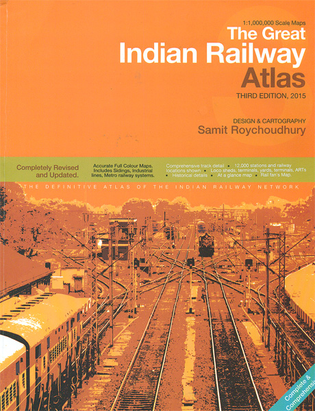
The Great Railway Atlas of India, now in its third edition published in 2015, presenting the country’s railway network on maps at approx. 1:1,000,000 with numerous more detailed maps of main railway locations, including diagrams of metro networks. Designed and drawn by Samit Roychoudhury, the atlas provides a very detailed classification of the network according
Norway Cappelen Motorcycle Map-Set
Motorcycle map of Norway at 1:1,100,000 from Cappelens Forlag presenting the country on eight waterproof and tear-resistant, double-sided, 17x25cm cards with highlighting for recommended motorcycle routes. Also included is a separate paper road map of the whole country showing the routes and coverage on each of the eight cards.The country’s topography is shown by relief
Everest Region Trekking Map
Mount Everest area on a trekking map at 1:75,000 from the Kolkata/Calcutta based Milestone Books, highlighting main trekking routes and showing peaks, passes and selected locations with altitude both in metres and feet. Coverage extends from just south of Lukla to the Chinese side of Mount Everest and the peaks of Cho Oyo and Gyachung
Southern Norway South – Oslo – Stavanger – Bergen – Hardangervidda Cappelen Sectional Road Map

Southern Norway South: Oslo – Stavanger – Bergen – Hardangervidda National Park at 1:335,000 from Cappelen, with city maps covering the central districts of Oslo and the Stavanger – Sandnes area. Coverage extends north beyond the Hardangerjรธkulen glacier to include the Hallingskarvet National Park and Gol. Additional panels cover: the central districts of Oslo (1:25,000,
Annapurna Trekking Atlas

Trekking Atlas of the Annapurna region from the Kolkata/Calcutta based Milestone Books, combining 15 maps at scales from 1:50,000 to 1:82,000 and an overview map of the whole Annapurna Circuit at 1:125,000. The main Annapurna circuit via Muktinath and Jomson is presented on 12 pages, with three more pages covering the eastern approaches to the
Langtang and Helambu Trekking Map

The Langtang and Helambu trekking region on a map at 1:100,000 from the Kolkata/Calcutta based Milestone Books, highlighting main trekking routes and showing peaks, passes and selected locations with altitude both in metres and feet. Coverage extends from Kathmandu and Nagarkot to Kyirong in Tibet and across the peaks from the Ganesh Himal range in
Ladakh and Zanskar Trekking Map
Ladakh and Zanskar on a double-sided map at 1:175,000 from the Kolkata/Calcutta based Milestone Books, highlighting 20 trekking routes and showing the region’s road network. Coverage includes Nubra, the Indus valley, the Zanskar mountains, Tsomoriri Lake and Rupshu.Satellite-derived base provides a clear picture of the valleys and ridges of this mountainous region and gives spot-heights
Made in Bengaluru – 1st Edition and Notebook

The 92-page book is an insider s guide to the makers of India s dynamic and cosmopolitan city Bengaluru. It is a celebration of the city and the talented people who reside and work here. The highly-curated guide profiles the city s finest artists, artisans, craftspeople, designers, makers and shopkeepers who come together to produce
I See the Promised Land: A Life of Martin Luther King Jr.

This graphic novel version of the life of Martin Luther King, Jr. and the Civil Rights Movement is an exciting dialogue between two very different storytelling traditions. Arthur Flowers – African American writer and griot – tells the story in lyrical prose, while the text is illustrated by Manu Chitrakar, traditional Patua scroll artist from
To Market! To Market!
Alone in the Forest

“The terrifying experience of being alone in the woods is rendered through the eyes of a young Indian boy. . . A familiar story arc conveyed through traditional art captivates with its freshness and originality.” Starred Review, “Kirkus Reviews” “To be read aloud . . . Evolving slowly from darkness into light, the color scheme
Lofoten and Vesteralen Islands
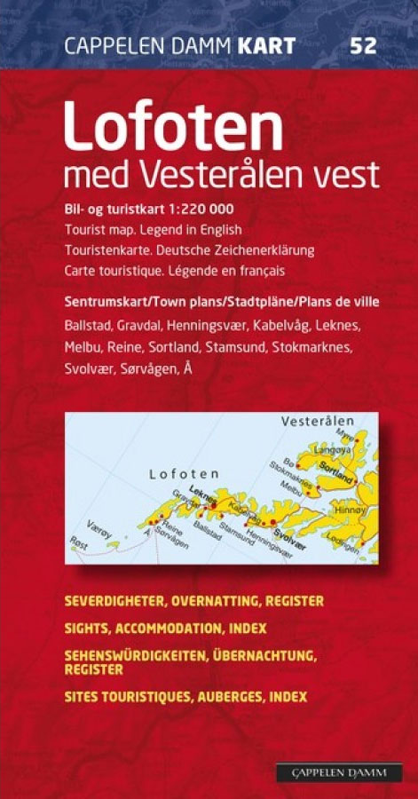
Lofoten and the western Vesterรฅlen Islands at 1:220,000 on an indexed map showing road and ferry connection, plus 11 detailed street plans of the islands’ main towns and villages annotated with various services and facilities. On one side is the road map of the islands with the adjoining part of the mainland. Road network includes
Troms and Finnmark – Tromso – Hammerfest – Kirkenes Cappelen Sectional Road Map

North Troms and Finnmark: Tromsรธ – Hammerfest – Kirkenes region, the northernmost part of Norway, at 1:400,000 from Cappelen, with street plans of central Hammerfest, Tromsรธ, Alta and Kirkenes, all annotated with places of interest, accommodation and various facilities.Road maps in the Cappelen’s regional series present topography by relief shading with numerous spot heights and


