Category Archives: Maps
Bucovina – Maramures terraQuest Adventure Map
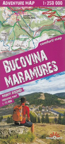
Easy to use thanks to its patented folding, tourist map – Maramures and Bucovines covers the northern part of Romania famous for its painted monasteries with all tourist information. On the verso there is the enlargement to the 1:75 000 of the National Park of the Rodna Mountains and the south of the Natural Park
Transylvania terraQuest Adventure Map
Iceland Map & Guide
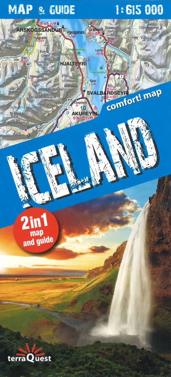
Beautiful laminated map & guide of Iceland including:- Unique combination of map and guide book- Durable, laminated, easy to use- Easy navigation: each attraction is numbered and marked on the map- Descriptions of 30 of the most interesting places to visit- Useful, practical information: opening days and hours of facilities and tips on transport- Tourist
Lake Como terraQuest Trekking Map
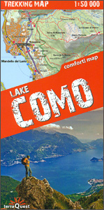
Lake Como and the surrounding area on a waterproof and tear-resistant, contoured and GPS compatible map at 1:50,000 from terraQuest, highlighting hiking trails, campsites and refuges, etc. The map is presented in a special format handy for conveniently viewing just small sections of it at one time.Coverage extends from the town of Como and the
Lake Garda terraQuest Trekking Map
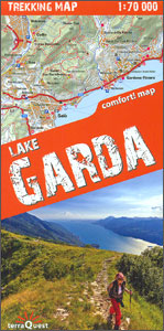
Lake Garda and the surrounding area on a waterproof and tear-resistant, contoured and GPS compatible map at 1:70,000 from terraQuest, highlighting hiking trails, campsites and refuges, etc. The map is presented in a special format handy for conveniently viewing just small sections of it at one time.Coverage starts south of the A4 motorway, extends beyond
Indian Himalaya terraQuest Trekking Map

Indian Himalaya on a laminated and waterproof map from terraQuest, providing both an overview map of the region including Sikkim at 1:750,000 and separate panels at 1:350,000 covering 22 recommended hiking routes.On one side is the overview map at 1:750,000 presented in two panels: the whole of the north-western area between the borders with Pakistan
Fagaras – Bucegi – Piatra Craiului terraQuest Trekking Map

The Fagaras and Bucegi Mountains in the Transylvania, including the Piatra Craiului National Park and Brasov, on a waterproof and tear-resistant, double-sided, contoured and GPS compatible map at 1:80,000 from terraQuest, highlighting hiking trails, campsites and refuges, etc. The map includes a street plan of central Bra?ov and is presented in a special format handy
Southern Norway North – Oslo – Bergen – Rondvassbu – Galdhopiggen Cappelen Sectional Road Map

Southern Norway North: Oslo – Bergen – Sognefjord – ร…lesund region at 1:335,000 from Cappelen, covering several national parks including Jotunheimen and Rondane (both also shown on contoured enlargements), plus city maps of central Oslo and the Bergen area.Coverage extends from Oslo and the Hardangervidda NP northwards to ร…lesund and Rรธros and also includes the
Karakoram – K2 – Gasherbrum – Broad Peak terraQuest Trekking Map

Central part of the Karakoram Range on a waterproof and tear-resistant, double-sided map at 1:175,000 from terraQuest, with coverage extending from Gilgit and the Karakoram Highway to the peaks of K2 and Gasherbrum. The map is presented in a special format, handy for conveniently viewing just small sections of it at one time.With Gilgit and
Nordland and South Troms – Bronnoysund – Bodo – Narvik Cappelen Sectional Road Map

Nordland and South Troms region of Norway including the Vesterรฅlen and Lofoten Islands at 1:400,000 from Cappelen, with street plans of central Narvik, Bodรธ, and Harstad. Coverage extends from Leka Island and Bรธrgefjell ‘“ Byrkije National Park northwards to the island of Senja. Small panels cover Narvik, Bodรธ, and Harstad, indicating selected accommodation and places
Africa`s Highest Peaks – Kilimanjaro – Mount Kenya – Rwenzori terraQuest Trekking Map
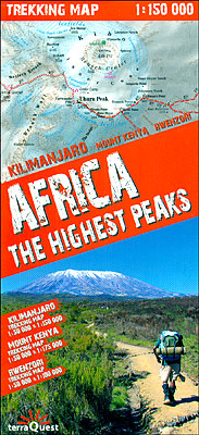
Three of Africa’s most popular trekking regions: Kilimanjaro, Mount Kenya and the peaks of the Ruwenzori National Park on a durable, waterproof and tear-resistant map from terraQuest. Each destination is presented on two panels: a general map of the area plus an enlargement of the highest part at 1:50,000.On one side is coverage of Kilimanjaro.
Lofoten – Vesteralen Islands – Senja Cappelen Sectional Road Map
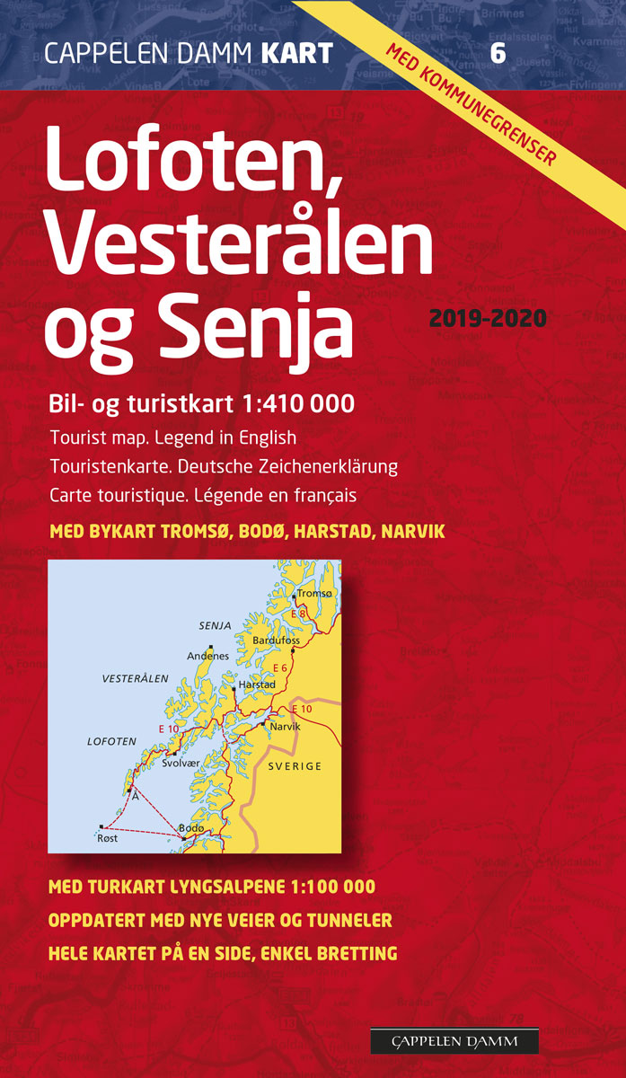
Lofoten and Vesteralen Islands with the adjoining mainland between Bodรธ, Narvik and Tromsรธ at 1:410,000 from Cappelen, plus a large inset showing the Lyngsalpene area east of Tromsรธ in much greater detail on a contoured map at 1:100,000 with hiking trails. Also provided are street plans of central Tromsรธ, Narvik, Bodรธ and Harstad showing one
Turkey`s Highest Peaks – Mount Ararat – Kackar Mountains – Mount Suphan terraQuest Trekking Map
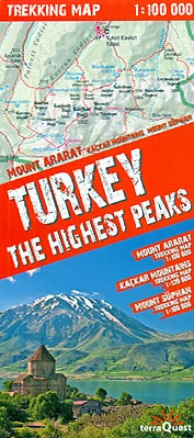
Three of Turkey’s most popular trekking regions: Mount Ararat, Kaรงkar Mountains and Mount Sรผpan on a durable, waterproof and tear-resistant map from terraQuest, plus an overview road map of the eastern part of the country. On one side is a map the Kaรงkar Mountains at 1:120,000 covering an area from Ipsir to Artvin and northwards
Greater Oslo Cappelen Street Plan

Street plan of Oslo at 1:10,000 from Cappelens, Norway’s leading cartographic publisher, combined with a map of the environs, both indexed and annotated with places of interest. The plan of the city shows streets with selected house numbers for easy location of addresses. One way streets are indicated, as well as car parks and petrol
Tibet – Mount Everest – Nam Tso – Lhasa – Shigatse terraQuest Tourist Map

Southern Tibet at 1:400,000 on a laminated, waterproof and tear-resistant map from terraQuest, with contours, relief shading and colouring providing a very vivid picture of the region’s topography. The map, double-sided and arranged in three separate panels, covers an area from Medro Gungkar, east of Lhasa, to the Friendship Bridge crossing to Nepal, west of
Lithuania – Vilnius Street Plan
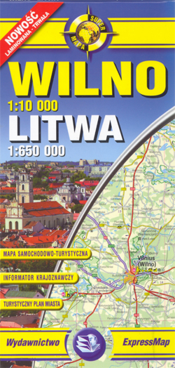
Vilnius street plan plus the whole of Lithuania and with Kaliningradskaya Oblast of Russia on a laminated, waterproof and tear-resistant map. Main cities and many smaller towns and villages, particularly in the south-eastern part of the country, are also given their old Polish names.The country map shows Lithuania`s road and rail networks, highlighting national parks
Wolin Island – Wolinski National Park ExpressMap Tourist Map
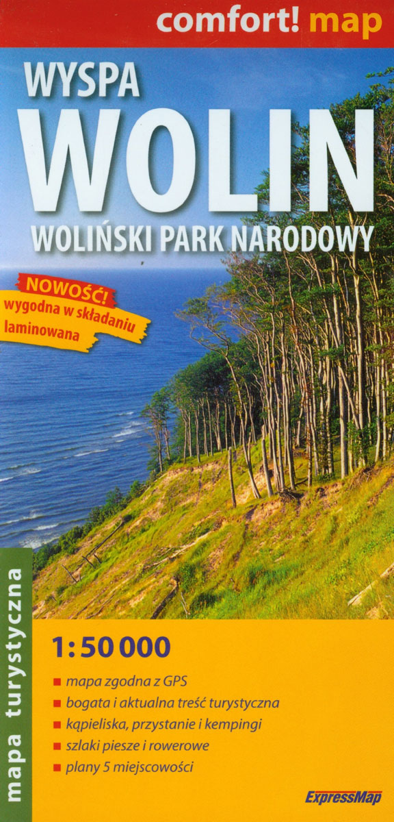
Wolin Island – Wolinski National Park in a series covering Poland’s best hiking areas on waterproof and tear-resistant, laminated maps, specially designed to withstand repeated re-folding and even the worst weather conditions. Each map is double-sided and has clear, well presented cartography with a contoured base (20m interval) and, where appropriate, relief shading, graphic relief
Szczecin Environs ExpressMap Tourist Map

Szczecin and its environs in a series covering the best Polish hiking areas on waterproof and tear-resistant, laminated maps, specially designed to withstand repeated re-folding and even the worst weather conditions. Each map is double-sided and has clear, well presented cartography with a contoured base (20m interval) and, where appropriate, relief shading, graphic relief in
Beskid Makowski

Beskid Makowski in a series of detailed maps of Poland’s most popular recreational areas, showing waymarked hiking and cycling routes and various types of overnight accommodation, including local hotels, youth hostels, shelters and mountain huts, campsites, camping on local farms, etc. The maps also show various sport and recreational facilities: swimming pools, equestrian and watersport


