Category Archives: Maps
Baltic Coast: Gdynia – Hel Peninsula – Nadmorski Regional Park

The Nadmorski Regional Park on the Baltic coast, stretching from the outskirts of Gdynia to the tip of the Hel Peninsula, on a detailed map at 1:50,000 from EKO-GRAF, with street plans of the regions main towns and popular holiday resorts.On one side the park is presented on three separate panels at 1:50,000: Gdynia to
K2 and Baltoro Glacier
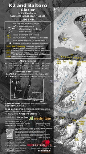
Stunning satellite image of the K2 and the Baltoro Glacier in the Karakoram at 1:80,000, produced by the Polish Mountaineering Association and annotated with names of peaks, glaciers and passes, numerous spot heights, trekking and approach routes, base camps and seasonal settlements. Centered on the peak of K2, coverage extends from the Sughet Jangal (‘Yinhongtan
Lรณdz and Environs
Lรณdz and its environs at 1:50,000 in a series of recreational maps from Poland’s Army Cartographic Service WZKart. The maps use as their base the military topographic survey, with contours at intervals varying from 5m to 20m according to the terrain and contoured depths shown on lakes. An overprint highlights waymarked hiking, cycling and canoeing
Klodzko Region 2-Map Set

Klodzko and Environs (Ziemia Klodzka) at 1:50,000 in a series of recreational maps from Poland’s Army Cartographic Service. The maps use as their base the military topographic survey, with contours at intervals varying from 5m to 20m according to the terrain and contoured depths shown on lakes. An overprint highlights waymarked hiking, cycling and canoeing
Drawsko Pomorskie Lake District

Drawsko Pomorskie Lake District (Pojezierze Drawskie) at 1:50,000 in a series of recreational maps from Poland’s Army Cartographic Service. The maps use as their base the military topographic survey, with contours at intervals varying from 5m to 20m according to the terrain and contoured depths shown on lakes. An overprint highlights waymarked hiking, cycling and
Iceland Map & Guide
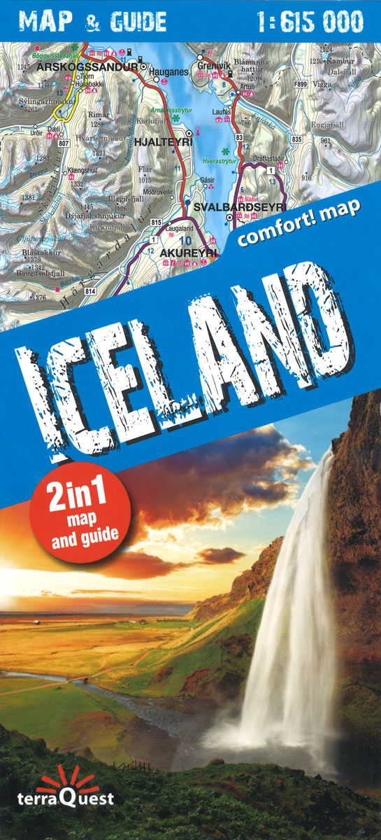
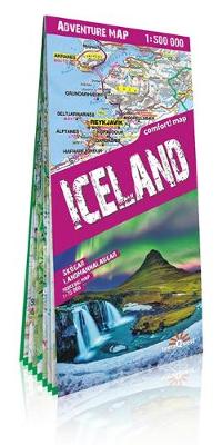
Beautiful laminated map & guide of Iceland including:- Unique combination of map and guide book- Durable, laminated, easy to use- Easy navigation: each attraction is numbered and marked on the map- Descriptions of 30 of the most interesting places to visit- Useful, practical information: opening days and hours of facilities and tips on transport- Tourist
Lake Como terraQuest Trekking Map
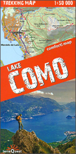
Lake Como and the surrounding area on a waterproof and tear-resistant, contoured and GPS compatible map at 1:50,000 from terraQuest, highlighting hiking trails, campsites and refuges, etc. The map is presented in a special format handy for conveniently viewing just small sections of it at one time.Coverage extends from the town of Como and the
Lake Garda terraQuest Trekking Map
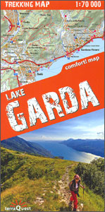
Lake Garda and the surrounding area on a waterproof and tear-resistant, contoured and GPS compatible map at 1:70,000 from terraQuest, highlighting hiking trails, campsites and refuges, etc. The map is presented in a special format handy for conveniently viewing just small sections of it at one time.Coverage starts south of the A4 motorway, extends beyond
Cuba terraQuest Adventure Map
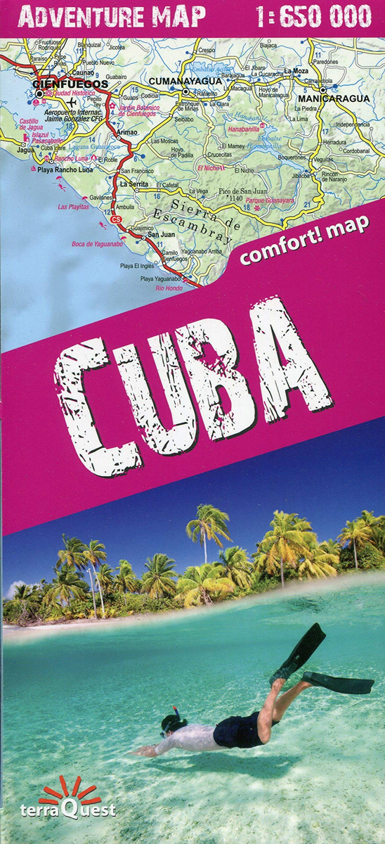
Cuba on a waterproof and tear-resistant, double-sided map at 1:650,000 from terraQuest, with street plans of central Havana and the Varadero peninsula. The map is presented in a special format handy for conveniently viewing just small sections of it at one time.The map divides Cuba east/west, with a small overlap between the sides. Road network
Rila – Pirin terraQuest Trekking Map
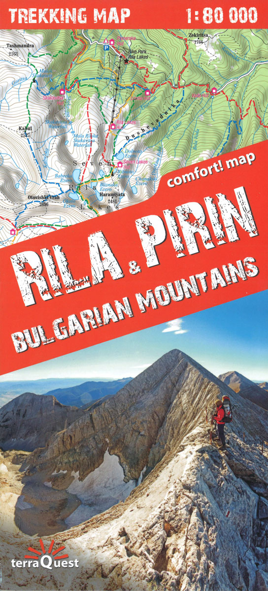
Excellent and comfortable to use here is the map of the mountains, the highest and most interesting, Rila & Pirin, in the south-west of Bulgaria.The map was created especially for active people who go trekking in this region. Like all terraQuest maps, it boasts an ultra-convenient and unalterable folding and is covered with a laminate
Madeira terraQuest Trekking Map
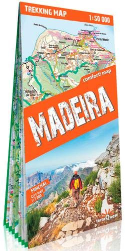
Detailed and easy-to-use trekking map of the entire island of Madeira, created especially for active people who love to explore on foot. In addition, the map shows the city of Funchal on a scale of 1: 7,000.The map features:- tourist information including trekking routes, natural attractions and sites of interest.- plastic shading showing the terrain.-
Drakensberg – Ukhahlamba Park terraQuest Trekking Map
uKhahlamba – Drakensberg Park at 1:100,000 on a durable, waterproof and tear-resistant, contoured and GPS compatible trekking map from terraQuest. The map is double-sided and covers the park in two overlapping sections. Coverage extends north-west to include the Royal Natal National Park.Topography is vividly presented by contours at 25m intervals, enhanced by relief shading plus
Georgia – Caucasus Mountains terraQuest Adventure Map
An excellent and comfortable tourist map of Georgia has been additionally enriched by mountain regions presented on an exact scale. It stands out with its topographic and tourist content. It was created especially for active people, going to Georgia or for trekking in the Svanetian region and the Kazbek peak.The map is characterized by:- Covering
Central Pyrenees terraQuest Trekking Map
The central part of the French Pyrenees on a waterproof and tear-resistant, contoured and GPS compatible map at 1:50,000 from terraQuest, highlighting hiking trails, campsites and refuges, etc. The map is presented in a special format handy for conveniently viewing just small sections of it at one time.Coverage extends north to the towns Lourdes, Bagnรจres-de-Bigorre
Georgian Caucasus – Mt Ushba – Shkhara – Kazbek terraQuest Trekking Map
The Caucasus Mountains in Georgia presented on a durable, waterproof and tear-resistant map from terraQuest, with two separate panels covering the central part including the peaks of Ushba and Shkhara with the Svaneti Range, plus the eastern region from Mount Kazbek to the Tusheti National Park.On one side a map at 1:75,000 presents the central
Aconcagua terraQuest Trekking Map
Aconcagua area at 1:50,000 on a durable, waterproof and tear-resistant, contoured and GPS compatible map from terraQuest, providing coverage of the Aconcagua Provincial Park with access from the road linking Punta de Vascas, Los Penitentes, Puente del Inca and the Cristo Redentor Tunnel crossing to Chile.The map divides the area north/south with a good overlap
Polish and Slovak Tatra Mountains

Polish and Slovak parts of the Tatra Mountains on a hiking map from EKO-GRAF, with a separate map highlighting waymarked routes, a street plan of Zakopane, and an overview road map with access from Krakรณw.The map covers the three main groups of the Tatra Mountains: the High Tatras, Western Tatras with the Rohace chain, plus


