Category Archives: Maps
Salou – Cambrills – La Pineda

Cambrils plus Salou with La Pineda on an indexed street plan at 1:12,500 from Telstar Distrimapas, Spain’s leading publisher of city maps, with on the reverse multilingual descriptions of places of interest in the three locations.On one side are two panels with plans of Cambrils and of Salou and La Pineda, with each resort given
Catalonia Tourist Road – Regional Divisions Map
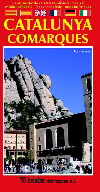
Catalonia on a large indexed map at 1:275,000 showing the road network on a base with the region’s administrative subdivisions ‘“ the comarques ‘“ each presented in a different colour. Names of towns indicate their administrative status and/or the number of inhabitants.The map is designed to show main and secondary routes; smaller local roads are
Castellรณn de la Plana

Castellรณn de la Plana/Castellรณ de la Plana on an indexed street plan at 1:6,000 from Telstar Distrimapas, Spain’s leading publisher of city maps, plus an indexed road map of the province with English language tourist notes.On one side is street plan of the city with main public buildings and places interest clearly named. A large
Menorca

Menorca at 1:58,000 on an indexed touring map from Spanish publishers Telstar Distrimapas, with on the reverse large indexed street plan of Mahรณn (Maรณ) and Ciutadella, plus English language descriptions of six recommended tourist routes and general notes about the island.The islands topography is presented by bold altitude colouring. Road network emphasises main and connecting
Ibiza – Formentera

Ibiza and Formentera on an indexed road map at 1:92,500 from Telstar with on the reverse clear, indexed street plans of Ibiza’s main tourist destinations: Eivissa with coverage extending along the coast to Platja d’en Bossa and the Talamanca Bay ‘“ plus an enlargement of Eivissa’s Old Town, also Santa Eularia des Riu, the Bay
Tarragona
Tarragona on an indexed street plan at 1:4,000 from Telstar Distrimapas, Spain’s leading publisher of city maps, with on the reverse multilingual descriptions of the city’s best sights. The plan indicates main traffic arteries, car parks and locations of petrol stations, taxi ranks, tourist information offices, etc. Important buildings are named. The index is under
Seville Central
Central Seville on a detailed street plan at 1:6,000 from Telstar Distrimapas, very clearly presenting the maze of streets and connecting passages in the city’s historic heart, all named and listed in the accompanying index. The plan provides English language descriptions of 36 main sights. Coverage extends south to the Plaza de Espaรฑa area and
Vitoria-Gasteiz
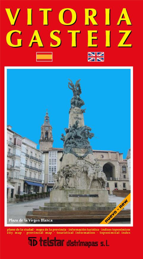
Vitoria-Gasteiz on an indexed street plan at 1:10,000 from Telstar Distrimapas, Spain’s leading publisher of city maps, with an indexed road map of the province and English language descriptions tours within the city and in the province. On one side is an indexed street plan of the city indicating locations of car parks, taxi ranks,
Serra de Llaberia Editorial Piolet

Serra de Llaberia area at 1:20,000 in a series of GPS compatible maps from Editorial Piolet with cartography based on Spain’s civilian topographic survey overprinted with hiking routes and other tourist information. The overprint also includes mountain bike routes.Hiking maps in the Editorial Piolet series, unless indicated to the contrary in the individual description, have
Alicante and the Towns of the Alicante Province
Alicante / Alacant on an indexed street plan at 1:12,000 from Telstar Distrimapas, Spain’s leading publisher of city maps, with an enlargement for the city centre, street plans of central Benidorm, Alcoy/Alcoi, Dรฉnia, Elche/Elx and Torrevieja, plus a road map of the Alicante Province.On one side is an indexed street plan of the Alicante highlighting
El Montgo Editorial Piolet
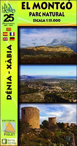
Serra del Montgo Natural Park, inland from the northern tip of the Costa Blanca, on a contoured and GPS compatible map at 1:15,000 from Editorial Piolet. Coverage extends from Dรฉnia along the coast to the beaches directly east of Xร bia, and inland just beyond the railway line linking Dรฉnia with Alicante.Topography is presented by contours
San Sebastian / Donostia

San Sebastian / Donostia, European City of Culture, in 2016, on an indexed street plan at 1:5,000 from Telstar Distrimapas, Spain’s leading publisher of city maps, with on the reverse useful tourist information, an indexed road map of the Gipuzkoa province, plus English language descriptions of sights and tours in the city and the province.
Geoparque de las Sierras Subbeticas Editorial Piolet

Geoparque de las Sierras Subbeticas in Andalucรญa, roughly half Cordoba, on a very clear, contoured and GPS compatible map at 1:40,000 from Editorial Piolet highlighting local walking trails including 10 recommended routes, long-distance hiking routes, Via Verde cycling trails, and various places of interest. Hiking maps in the Editorial Piolet series, unless indicated to the
Lodz +4 (Aleksandrow Lodzki, Konstantynow Lodzki, Pabianice, Zgierz)
Lodz + 4 (Aleksandrow Lodzki, Konstantynow Lodzki, Pabianice and Zgierz) at 1:20,000 from Demart, Poland’s leading publisher of high quality street plans, showing public transport routes with line numbers and stops, coach connections, petrol stations, hotels, campsites, youth hostels, places of interest, etc.Demart’s street plans are designed to cover the larger town(s) as its main
Tatra Mountains Panoramic Atlas (PL & SK)

Innovative hiking atlas of the Polish and Slovak Tatra Mountains presenting 20 recommended hiking excursions on colour-enhanced aerial photos to provide a more vivid and immediately accessible picture of the terrain than offered by conventional contoured maps. Each photo is overprinted with the routes, indicating their waymarking colours and hiking times in both directions, plus
Bialowieza Forest and Environs ENGLISH
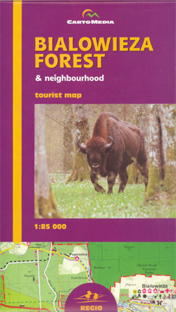
Bialowieza Forest (Puszcza Bialowieska – Bialowieza N.P.) and its environs on a detailed recreational map from Atikart, with street plans of Hajnรณwka and Bialowieza, plus English text covering most of the reverse side of the map describing towns and villages, etc.The map covers an area from Bielsk Podlaski to the border and presents a very
Biebrza National Park ENGLISH

Biebrzanski National Park, Poland’s prime nature and bird watching area along the marshes of the Biebrza River, on a detailed map in an English language edition with extensive text describing hiking, cycling and water trails, places of interest, etc.The map shows the whole of the Biebrzanski National Park at 1:100,000, extending out across the surrounding
Gdansk Panorama Plan

Hand-drawn panorama map of Gdansk, offering a bird’s-eye view of Poland’s principal seaport. Every building is lovingly recreated from the Church of Our Lady to the city’s vast docks; 36 of Gdansk’s most famous landmarks are highlighted and described in detail on the map’s reverse. Drawn by artist Ruben Atoyan, a magnifier is enclosed to


