Category Archives: Maps
Manresa – Pla de Bages

Topographic survey of Catalonia at 1:25,000 from the Institut Cartogrร fic i Geolรฒgic de Catalunya, an attractive alternative to Spain’s national topographic survey at this scale, offering a much larger area per sheet with extensive tourist information and vivid presentation of vegetation and land use.These large, detailed maps have contours at 10m intervals enhanced by hill
Les Borges Blanques

Topographic survey of Catalonia at 1:25,000 from the Institut Cartogrร fic i Geolรฒgic de Catalunya, an attractive alternative to Spain’s national topographic survey at this scale, offering a much larger area per sheet with extensive tourist information and vivid presentation of vegetation and land use.These large, detailed maps have contours at 10m intervals enhanced by hill
Els Ports Natural Park: Vall-de-roures – Arnes

Topographic survey of Catalonia at 1:25,000 from the Institut Cartogrร fic i Geolรฒgic de Catalunya, an attractive alternative to Spain’s national topographic survey at this scale, offering a much larger area per sheet with extensive tourist information and vivid presentation of vegetation and land use.These large, detailed maps have contours at 10m intervals enhanced by hill
Mรณra d`Ebre

Topographic survey of Catalonia at 1:25,000 from the Institut Cartogrร fic i Geolรฒgic de Catalunya, an attractive alternative to Spain’s national topographic survey at this scale, offering a much larger area per sheet with extensive tourist information and vivid presentation of vegetation and land use.These large, detailed maps have contours at 10m intervals enhanced by hill
Gandesa – Riu d`Algars – Batea – Horta de Sant Joan
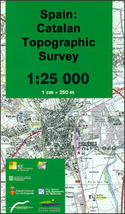
Topographic survey of Catalonia at 1:25,000 from the Institut Cartogrร fic i Geolรฒgic de Catalunya, an attractive alternative to Spain’s national topographic survey at this scale, offering a much larger area per sheet with extensive tourist information and vivid presentation of vegetation and land use.These large, detailed maps have contours at 10m intervals enhanced by hill
Banyoles – Besalu – Rocacorba

Topographic survey of Catalonia at 1:25,000 from the Institut Cartogrร fic i Geolรฒgic de Catalunya, an attractive alternative to Spain’s national topographic survey at this scale, offering a much larger area per sheet with extensive tourist information and vivid presentation of vegetation and land use.These large, detailed maps have contours at 10m intervals enhanced by hill
Delta de l`Ebre Parc Natural

Topographic survey of Catalonia at 1:25,000 from the Institut Cartogrร fic i Geolรฒgic de Catalunya, an attractive alternative to Spain’s national topographic survey at this scale, offering a much larger area per sheet with extensive tourist information and vivid presentation of vegetation and land use.These large, detailed maps have contours at 10m intervals enhanced by hill
Anoia ICGC 06
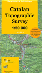
Topographic survey of Catalonia at 1:50,000 from the Institut Cartogrร fic de Catalunya, with vivid presentation of the terrain and an overprint for long-distance GR hiking trails. The series provides an excellent alternative to the much smaller sheets in the civilian or military surveys produced for the whole of Spain. The Catalan 50K series has not
Lleida – Pla de Raimat

Topographic survey of Catalonia at 1:25,000 from the Institut Cartogrร fic i Geolรฒgic de Catalunya, an attractive alternative to Spain’s national topographic survey at this scale, offering a much larger area per sheet with extensive tourist information and vivid presentation of vegetation and land use.These large, detailed maps have contours at 10m intervals enhanced by hill
Girona

Topographic survey of Catalonia at 1:25,000 from the Institut Cartogrร fic i Geolรฒgic de Catalunya, an attractive alternative to Spain’s national topographic survey at this scale, offering a much larger area per sheet with extensive tourist information and vivid presentation of vegetation and land use.These large, detailed maps have contours at 10m intervals enhanced by hill
Comarques Centrales
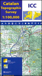
Comarques Centrales, the foothills of the Catalan Pyrenees including Ripoll, Olot, Berga, Vic, Solsona, etc, at 1:100,000 in the topographic survey of Catalonia published by the Institut Cartogrร fic de Catalunya, with very detailed coverage of a large area and an excellent representation of the region’s topography.Maps in this series have relief presented by contours at
Tร rrega – Plana d`Urgell

Topographic survey of Catalonia at 1:25,000 from the Institut Cartogrร fic i Geolรฒgic de Catalunya, an attractive alternative to Spain’s national topographic survey at this scale, offering a much larger area per sheet with extensive tourist information and vivid presentation of vegetation and land use.These large, detailed maps have contours at 10m intervals enhanced by hill
Amposta – Pla de la Galera – Montsiร – Riu de la Sรฉnia

Topographic survey of Catalonia at 1:25,000 from the Institut Cartogrร fic i Geolรฒgic de Catalunya, an attractive alternative to Spain’s national topographic survey at this scale, offering a much larger area per sheet with extensive tourist information and vivid presentation of vegetation and land use.These large, detailed maps have contours at 10m intervals enhanced by hill
Ripoll – Sant Joan de les Abadesses

Topographic survey of Catalonia at 1:25,000 from the Institut Cartogrร fic i Geolรฒgic de Catalunya, an attractive alternative to Spain’s national topographic survey at this scale, offering a much larger area per sheet with extensive tourist information and vivid presentation of vegetation and land use.These large, detailed maps have contours at 10m intervals enhanced by hill
Camp de Tarragona

Camp de Tarragona map at 1:100,000 in the topographic survey of Catalonia published by the Institut Cartogrร fic de Catalunya, with very detailed coverage of a large area and an excellent representation of the region’s topography. Maps in this series have relief presented by contours at 40m intervals, enhanced by additional hill-shading and spot heights; additional
Santa Coloma de Farners – Plana de la Selva

Topographic survey of Catalonia at 1:25,000 from the Institut Cartogrร fic i Geolรฒgic de Catalunya, an attractive alternative to Spain’s national topographic survey at this scale, offering a much larger area per sheet with extensive tourist information and vivid presentation of vegetation and land use.These large, detailed maps have contours at 10m intervals enhanced by hill
Madrid Essential Telstar Map
Central districts of Madrid on a clear, indexed street plan from Telstar Distrimapas, with a diagram of the metro/light rail network, plus English language descriptions of the city’s 32 main sights. Coverage extends from Real’s Santiago Bernabรฉu stadium in the north to in the south Atlรฉtico’s Estadio Vincente Calderรณn and beyond the Atocha railway station;
Madrid Postcodes Telstar Map
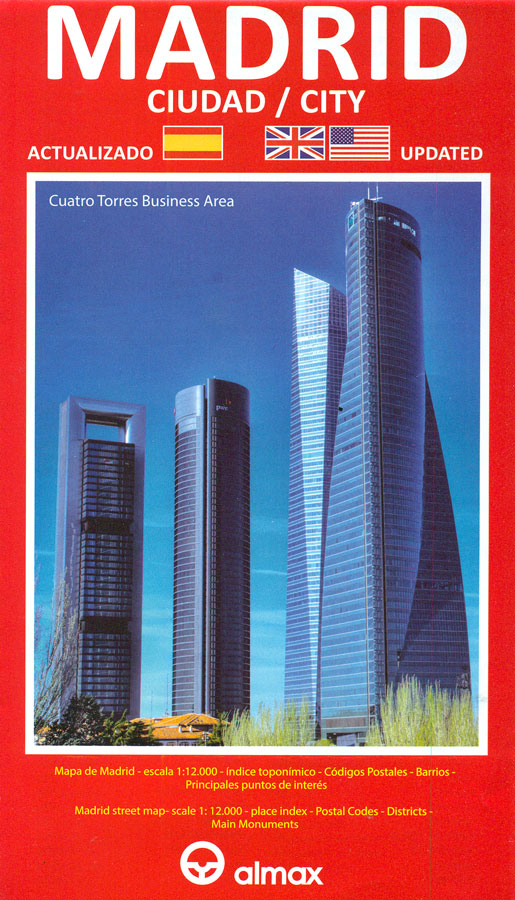
Madrid with its outer districts on a large, indexed map at 1:12,000 from Telstar Distrimapas showing postal districts in different colours, plus an enlargement of the city centre, and diagrams of the metro/light rail and commuter trains networks.Postal districts are in different colours and shown their 5-digit number (28xxx). The map shows metro and railway
Lรฉrida/Lleida
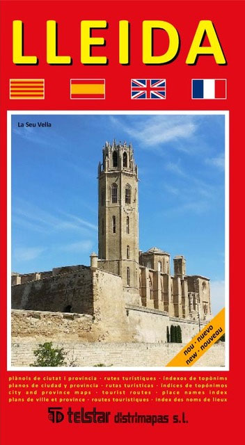
Lรฉrida/Lleida on an indexed street plan at 1:8,000 from Telstar Distrimapas, Spain’s leading publisher of city maps, with an enlargement of the city centre highlighting three sightseeing tours with English language descriptions.On one side is an indexed street plan of the city with main public buildings and places interest clearly named. Insets extend coverage to


