Category Archives: Maps
Cap de Creus Natural Park

Topographic survey of Catalonia at 1:25,000 from the Institut Cartogrร fic i Geolรฒgic de Catalunya, an attractive alternative to Spain’s national topographic survey at this scale, offering a much larger area per sheet with extensive tourist information and vivid presentation of vegetation and land use.These large, detailed maps have contours at 10m intervals enhanced by hill
Sort – PN de l`Alt Pirineu Sud
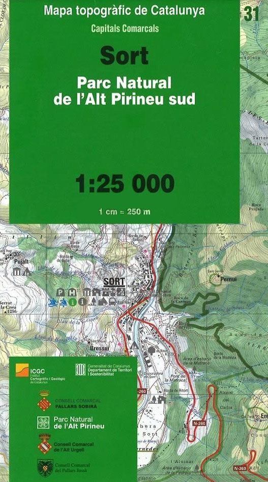
Topographic survey of Catalonia at 1:25,000 from the Institut Cartogrร fic i Geolรฒgic de Catalunya, an attractive alternative to Spain’s national topographic survey at this scale, offering a much larger area per sheet with extensive tourist information and vivid presentation of vegetation and land use.These large, detailed maps have contours at 10m intervals enhanced by hill
Alt Urgell ICGC 04

Topographic survey of Catalonia at 1:50,000 from the Institut Cartogrร fic de Catalunya, with vivid presentation of the terrain and an overprint for long-distance GR hiking trails. The series provides an excellent alternative to the much smaller sheets in the civilian or military surveys produced for the whole of Spain. The Catalan 50K series has not
Pirineu Oriental – Girona – Costa Brava

Pirineu Oriental – Girona – Costa Brava map, covering the eastern part of the Catalan Pyrenees and the coast southwards to Pineda de Mar at 1:100,000 in the topographic survey of Catalonia published by the Institut Cartogrร fic de Catalunya, with very detailed coverage of a large area and an excellent representation of the region’s topography.
Costa Brava Central: les Gavarres

Topographic survey of Catalonia at 1:25,000 from the Institut Cartogrร fic i Geolรฒgic de Catalunya, an attractive alternative to Spain’s national topographic survey at this scale, offering a much larger area per sheet with extensive tourist information and vivid presentation of vegetation and land use.These large, detailed maps have contours at 10m intervals enhanced by hill
Maresme ICGC 21
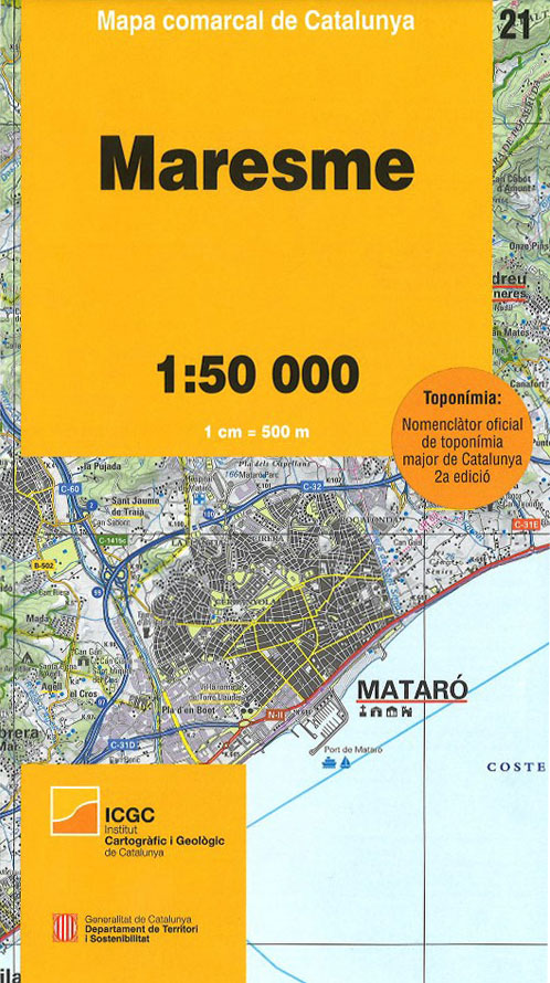
Topographic survey of Catalonia at 1:50,000 from the Institut Cartogrร fic de Catalunya, with vivid presentation of the terrain and an overprint for long-distance GR hiking trails. The series provides an excellent alternative to the much smaller sheets in the civilian or military surveys produced for the whole of Spain. The Catalan 50K series has not
Alta Garrotxa – la Muga

Topographic survey of Catalonia at 1:25,000 from the Institut Cartogrร fic i Geolรฒgic de Catalunya, an attractive alternative to Spain’s national topographic survey at this scale, offering a much larger area per sheet with extensive tourist information and vivid presentation of vegetation and land use.These large, detailed maps have contours at 10m intervals enhanced by hill
Pallars Sobirร ICGC 26

Topographic survey of Catalonia at 1:50,000 from the Institut Cartogrร fic de Catalunya, with vivid presentation of the terrain and an overprint for long-distance GR hiking trails. The series provides an excellent alternative to the much smaller sheets in the civilian or military surveys produced for the whole of Spain. The Catalan 50K series has not
Falset

Topographic survey of Catalonia at 1:25,000 from the Institut Cartogrร fic i Geolรฒgic de Catalunya, an attractive alternative to Spain’s national topographic survey at this scale, offering a much larger area per sheet with extensive tourist information and vivid presentation of vegetation and land use.These large, detailed maps have contours at 10m intervals enhanced by hill
Baix Camp ICGC 08
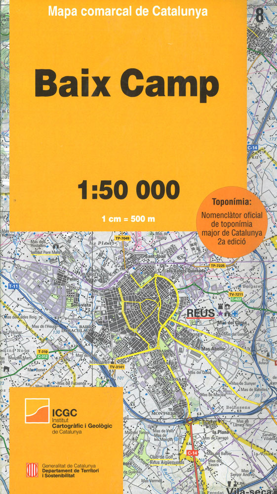
Topographic survey of Catalonia at 1:50,000 from the Institut Cartogrร fic de Catalunya, with vivid presentation of the terrain and an overprint for long-distance GR hiking trails. The series provides an excellent alternative to the much smaller sheets in the civilian or military surveys produced for the whole of Spain. The Catalan 50K series has not
Baix Ebre ICGC 09

Topographic survey of Catalonia at 1:50,000 from the Institut Cartogrร fic de Catalunya, with vivid presentation of the terrain and an overprint for long-distance GR hiking trails. The series provides an excellent alternative to the much smaller sheets in the civilian or military surveys produced for the whole of Spain. The Catalan 50K series has not
Val d`Aran ICGC 39
Topographic survey of Catalonia at 1:50,000 from the Institut Cartogrร fic de Catalunya, with vivid presentation of the terrain and an overprint for long-distance GR hiking trails. The series provides an excellent alternative to the much smaller sheets in the civilian or military surveys produced for the whole of Spain. The Catalan 50K series has not
Alt Pirineu Natural Park NE: Pica d’Estats – Vall de Cardos – Vall Ferrera

Topographic survey of Catalonia at 1:25,000 from the Institut Cartogrร fic i Geolรฒgic de Catalunya, an attractive alternative to Spain’s national topographic survey at this scale, offering a much larger area per sheet with extensive tourist information and vivid presentation of vegetation and land use.These large, detailed maps have contours at 10m intervals enhanced by hill
Alta Ribagorรงa ICGC 05
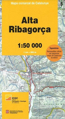
Topographic survey of Catalonia at 1:50,000 from the Institut Cartogrร fic de Catalunya, with vivid presentation of the terrain and an overprint for long-distance GR hiking trails. The series provides an excellent alternative to the much smaller sheets in the civilian or military surveys produced for the whole of Spain. The Catalan 50K series has not
Vielha – Baish Aran – Mijaran – Naut Aran

Topographic survey of Catalonia at 1:25,000 from the Institut Cartogrร fic i Geolรฒgic de Catalunya, an attractive alternative to Spain’s national topographic survey at this scale, offering a much larger area per sheet with extensive tourist information and vivid presentation of vegetation and land use.These large, detailed maps have contours at 10m intervals enhanced by hill
Catalonia Topographic Map
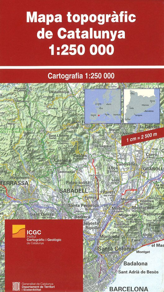
Catalonia on a large, very detailed road map from the Catalan survey organization, with excellent presentation of the region’s topography, plus an enlargement at 1:125,000 for the environs of Barcelona. Contours at 100m intervals and relief shading are supplemented by names of mountain ranges, peaks and passes, national parks and protected areas, plus colouring to
Balaguer – el Monestir d`Avellanes – Camarasa – Ribera de Siรณ

Topographic survey of Catalonia at 1:25,000 from the Institut Cartogrร fic i Geolรฒgic de Catalunya, an attractive alternative to Spain’s national topographic survey at this scale, offering a much larger area per sheet with extensive tourist information and vivid presentation of vegetation and land use.These large, detailed maps have contours at 10m intervals enhanced by hill
Tortosa

Topographic survey of Catalonia at 1:25,000 from the Institut Cartogrร fic i Geolรฒgic de Catalunya, an attractive alternative to Spain’s national topographic survey at this scale, offering a much larger area per sheet with extensive tourist information and vivid presentation of vegetation and land use.These large, detailed maps have contours at 10m intervals enhanced by hill
Fraga – Baix Segre

Topographic survey of Catalonia at 1:25,000 from the Institut Cartogrร fic i Geolรฒgic de Catalunya, an attractive alternative to Spain’s national topographic survey at this scale, offering a much larger area per sheet with extensive tourist information and vivid presentation of vegetation and land use.These large, detailed maps have contours at 10m intervals enhanced by hill


