Category Archives: Maps
Morro Jable CNIG Topo 1099
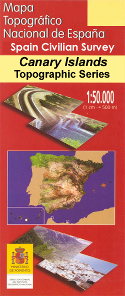
Morro Jable area of Fuerteventura, map No. 1099 in the topographic coverage of the Canary Islands at 1:50,000 from the Instituto Geogrรกfico Nacional – Centro Nacional de Informaciรณn Geograficรก, Spain’s civilian survey organization. Maps in the MTN50 (Mapa Topogrรกfico Nacional) series begun in late 1990s have contours at 20m intervals enhanced by relief shading, plus
Horta de Sant Joan CNIG Topo 496
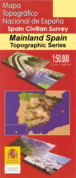
Topographic coverage of mainland Spain at 1:50,000 in the MTN50 (Mapa Topogrรกfico Nacional) series from the Centro Nacional de Informaciรณn Geografica, the country’s civilian survey organization. The maps have contours at 20m intervals, enhanced by relief shading, plus colouring and/or graphics to show different types of terrain, vegetation or land use. Boundaries of national parks
Gran Tarajal CNIG Topo 1100

Gran Tarajal area of Fuerteventura, map No. 1100 in the topographic coverage of the Canary Islands at 1:50,000 from the Instituto Geogrรกfico Nacional – Centro Nacional de Informaciรณn Geograficรก, Spain’s civilian survey organization. Maps in the MTN50 (Mapa Topogrรกfico Nacional) series begun in late 1990s have contours at 20m intervals enhanced by relief shading, plus
El Perello CNIG Topo 497
Topographic coverage of mainland Spain at 1:50,000 in the MTN50 (Mapa Topogrรกfico Nacional) series from the Centro Nacional de Informaciรณn Geografica, the country’s civilian survey organization. The maps have contours at 20m intervals, enhanced by relief shading, plus colouring and/or graphics to show different types of terrain, vegetation or land use. Boundaries of national parks
Gomera CNIG Topo 1095-1101

La Gomera, map No. 1095/1101 in the topographic coverage of the Canary Islands at 1:50,000 from the Instituto Geogrรกfico Nacional – Centro Nacional de Informaciรณn Geograficรก, Spain’s civilian survey organization. Maps in the MTN50 (Mapa Topogrรกfico Nacional) series begun in late 1990s have contours at 20m intervals enhanced by relief shading, plus colouring and/or graphics
Tortosa CNIG Topo 522-523
Topographic coverage of mainland Spain at 1:50,000 in the MTN50 (Mapa Topogrรกfico Nacional) series from the Centro Nacional de Informaciรณn Geografica, the country’s civilian survey organization. The maps have contours at 20m intervals, enhanced by relief shading, plus colouring and/or graphics to show different types of terrain, vegetation or land use. Boundaries of national parks
Los Canarios CNIG Topo 1087

Los Canarios area ‘“ the southernmost part of La Palma, map No. 1087 in the topographic coverage of the Canary Islands at 1:50,000 from the Instituto Geogrรกfico Nacional – Centro Nacional de Informaciรณn Geograficรก, Spain’s civilian survey organization. Maps in the MTN50 (Mapa Topogrรกfico Nacional) series begun in late 1990s have contours at 20m intervals
El Egido CNIG Topographic Map 1058-I
Topographic coverage of mainland Spain at 1:25,000 published by the Centro Nacional de Informaciรณn Geograficรก, the country’s civilian survey organization. The maps have contours at 10m intervals and colouring and/or graphics to show different types of vegetation or land use. Boundaries of national parks and other protected areas are marked. In addition to all the
Roquetas de Mar CNIG Topographic Map 1058-II

Topographic coverage of mainland Spain at 1:25,000 published by the Centro Nacional de Informaciรณn Geograficรก, the country’s civilian survey organization. The maps have contours at 10m intervals and colouring and/or graphics to show different types of vegetation or land use. Boundaries of national parks and other protected areas are marked. In addition to all the
San Agustin CNIG Topographic Map 1058-III

Topographic coverage of mainland Spain at 1:25,000 published by the Centro Nacional de Informaciรณn Geograficรก, the country’s civilian survey organization. The maps have contours at 10m intervals and colouring and/or graphics to show different types of vegetation or land use. Boundaries of national parks and other protected areas are marked. In addition to all the
Las Marinas CNIG Topographic Map 1058-IV

Topographic coverage of mainland Spain at 1:25,000 published by the Centro Nacional de Informaciรณn Geograficรก, the country’s civilian survey organization. The maps have contours at 10m intervals and colouring and/or graphics to show different types of vegetation or land use. Boundaries of national parks and other protected areas are marked. In addition to all the
Valls CNIG Topo 446
Topographic coverage of mainland Spain at 1:50,000 in the MTN50 (Mapa Topogrรกfico Nacional) series from the Centro Nacional de Informaciรณn Geografica, the country’s civilian survey organization. The maps have contours at 20m intervals, enhanced by relief shading, plus colouring and/or graphics to show different types of terrain, vegetation or land use. Boundaries of national parks
Antigua CNIG Topo 1093

Antigua area of Fuerteventura, map No. 1093 in the topographic coverage of the Canary Islands at 1:50,000 from the Instituto Geogrรกfico Nacional – Centro Nacional de Informaciรณn Geograficรก, Spain’s civilian survey organization. Maps in the MTN50 (Mapa Topogrรกfico Nacional) series begun in late 1990s have contours at 20m intervals enhanced by relief shading, plus colouring
Vilanova i la Geltru CNIG Topo 447
Topographic coverage of mainland Spain at 1:50,000 in the MTN50 (Mapa Topogrรกfico Nacional) series from the Centro Nacional de Informaciรณn Geografica, the country’s civilian survey organization. The maps have contours at 20m intervals, enhanced by relief shading, plus colouring and/or graphics to show different types of terrain, vegetation or land use. Boundaries of national parks
El Castillo CNIG Topo 1094

El Castillo area of Fuerteventura, map No. 1094 in the topographic coverage of the Canary Islands at 1:50,000 from the Instituto Geogrรกfico Nacional – Centro Nacional de Informaciรณn Geograficรก, Spain’s civilian survey organization. Maps in the MTN50 (Mapa Topogrรกfico Nacional) series begun in late 1990s have contours at 20m intervals enhanced by relief shading, plus


