Category Archives: Maps
Calera y Chozas CNIG Topo 626
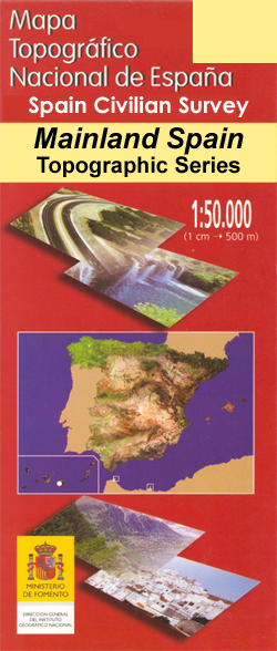
Topographic coverage of mainland Spain at 1:50,000 in the MTN50 (Mapa Topogrรกfico Nacional) series from the Centro Nacional de Informaciรณn Geografica, the country’s civilian survey organization. The maps have contours at 20m intervals, enhanced by relief shading, plus colouring and/or graphics to show different types of terrain, vegetation or land use. Boundaries of national parks
Galicia: Santiago de Compostela – Leรณn 500K CNIG Regional Map No.1
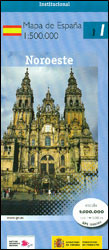
Spain’s north-western province of Galicia with coverage extending eastwards to Leรณn at 1:500,000 in a series of regional road maps from the country’s civilian survey organization IGN-CNIG (Instituto Geogrรกfico Nacional – Centro Nacional de Informaciรณn Geogrรกfica), vividly presenting the topography by altitude colouring, boundaries of national/natural parks, etc.Road network is graded and coloured into six
Aragรณn Autonomous Region 300K CNIG Physical Road Map
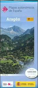
Aragรณn Autonomous Region of Spain at 1:300,000 on a large physical map from the IGN/CNIG – country’s civilian survey organization providing an excellent picture of the region’s topography, from the peaks of the highest part of the Pyrenees, across the valley of the Ebro, to the sierras of southern Teruel province. Icons prominently highlight various
Spain North 500K CNIG 2
The northern coast of Spain between Oviedo and Bilbao, with the Picos de Europa and extending inland to include Leรณn, Burgos and Palencia, at 1:500,000 in a series of regional road maps from the country’s civilian survey organization IGN-CNIG (Instituto Geogrรกfico Nacional – Centro Nacional de Informaciรณn Geogrรกfica), vividly presenting the topography by altitude colouring,
Teruel Province 200K CNIG Map No. 43
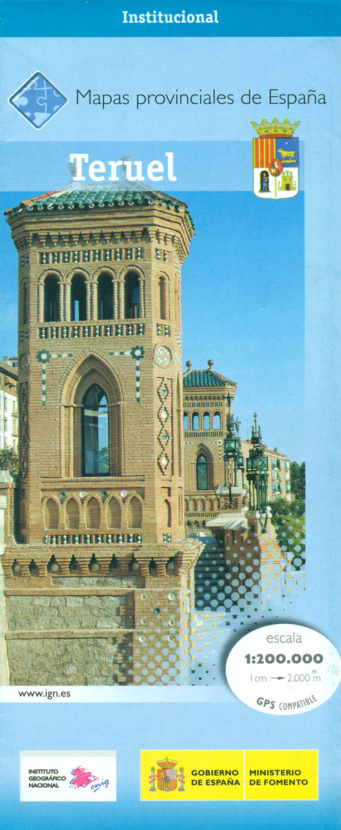
Contoured, GPS-compatible, indexed road map at 1:200,000 from CNIG – Spain’s civilian survey organization, with exceptionally informative presentation of the landscape and highlighting for facilities and places of interest including campsites and paradors.Maps in CNIG’s 200K Provincial Series provide an excellent picture the topography through contours at 100m intervals enhanced by relief shading, spot heights
Pyrenees West – Zaragoza – Santander – Burgos 500K CNIG Regional Map No. 3
The western part of Spanish Pyrenees, with coverage extending west to Santander and Burgos plus south to Zaragoza and Soria, at 1:500,000 in a series of regional road maps from the country’s civilian survey organization IGN-CNIG (Instituto Geogrรกfico Nacional – Centro Nacional de Informaciรณn Geogrรกfica), vividly presenting the topography by altitude colouring, boundaries of national/natural
Salamanca – Sierra de Gredos – Madrid 500K CNIG Regional Map No. 5
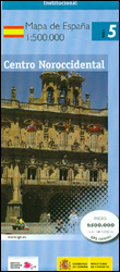
North-western part of central Spain with coverage extending from the Portuguese border to Madrid and north/south from Zamora and Valladolid to Toledo, at 1:500,000 in a series of regional road maps from the country’s civilian survey organization IGN-CNIG (Instituto Geogrรกfico Nacional – Centro Nacional de Informaciรณn Geogrรกfica), vividly presenting the topography by altitude colouring, boundaries
Madrid – Toledo – Zagaroza 500K CNIG Regional Map No. 6
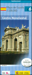
The northern part of central Spain with coverage extending from west of Segovia, Sierra de Guadarrama, Madrid and Toledo to Zaragoza and Teruel, at 1:500,000 in a series of regional road maps from the country’s civilian survey organization IGN-CNIG (Instituto Geogrรกfico Nacional – Centro Nacional de Informaciรณn Geogrรกfica), vividly presenting the topography by altitude colouring,
Extremadura: Badajoz – Toledo – Cรณrdoba 500K CNIG Regional Map No. 8
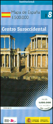
The south-western part of central Spain between the Portuguese border and Toledo, Ciudad Real and Cรณrdoba, at 1:500,000 in a series of regional road maps from the country’s civilian survey organization IGN-CNIG (Instituto Geogrรกfico Nacional – Centro Nacional de Informaciรณn Geogrรกfica), vividly presenting the topography by altitude colouring, boundaries of national/natural parks, etc.Road network is
Valencia – Alicante – Murcia 500K CNIG Regional Map No. 9
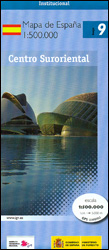
The Mediterranean coast of Spain from north of Valencia to Costa Blanca and inland to include Sierras de Cazorla and Segura in north-eastern Andalucรญa, at 1:500,000 in a series of regional road maps from the country’s civilian survey organization IGN-CNIG (Instituto Geogrรกfico Nacional – Centro Nacional de Informaciรณn Geogrรกfica), vividly presenting the topography by altitude
Balearic Islands 500K CNIG Regional Map No. 10
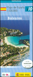
Balearic Islands at 1:500,000 in a series of regional road map of Spain from the country’s civilian survey organization IGN-CNIG (Instituto Geogrรกfico Nacional – Centro Nacional de Informaciรณn Geogrรกfica), vividly presenting the topography by altitude colouring, boundaries of national/natural parks, etc.Given the scale of 1:500,000, this title can give only an overview of the Balearic
Andalucรญa West: Cรณrdoba – Seville – Mรกlaga 500K CNIG Regional Map No. 11
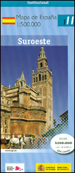
The western part of Andalucรญa, from Cรณrdoba to the Straits of Gibraltar and extending along the Mediterranean coast eastwards beyond the Costa del Sol and Mรกlaga to Nerja, at 1:500,000 in a series of regional road maps from the country’s civilian survey organization IGN-CNIG (Instituto Geogrรกfico Nacional – Centro Nacional de Informaciรณn Geogrรกfica), vividly presenting
Andalucรญa East: Granada – Almerรญa – Murcia 500K CNIG Regional Map No. 12
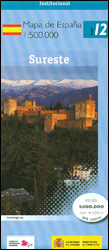
The eastern part of Andalucรญa with Granada and Sierra Nevada, extending along the Mediterranean coast from Velez-Malรกga to Cartagena and Mar Menor, at 1:500,000 in a series of regional road maps from the country’s civilian survey organization IGN-CNIG (Instituto Geogrรกfico Nacional – Centro Nacional de Informaciรณn Geogrรกfica), vividly presenting the topography by altitude colouring, boundaries
Straits of Gibraltar – Costa del Sol – Almerรญa 500K CNIG Regional Map No. 13
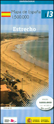
The Mediterranean coast of Spain from the Straights of Gibraltar along the Costa del Sol and past Malรกga to Almerรญa, at 1:500,000 in a series of regional road maps from the country’s civilian survey organization IGN-CNIG (Instituto Geogrรกfico Nacional – Centro Nacional de Informaciรณn Geogrรกfica), vividly presenting the topography by altitude colouring, boundaries of national/natural
Canary Islands West: Gran Canaria, Tenerife, La Palma, Gomera, Hierro 500K CNIG Regional Map No. 14
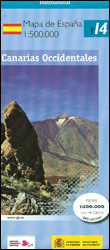
Western Canary Islands (Gran Canaria, Tenerife, La Palma, Gomera and Hierro) at 1:500,000 in a series of regional road map of Spain from the country’s civilian survey organization IGN-CNIG (Instituto Geogrรกfico Nacional – Centro Nacional de Informaciรณn Geogrรกfica), vividly presenting the topography by altitude colouring, boundaries of national/natural parks, etc.Given the scale of 1:500,000, this
Canary Islands East: Gran Canaria, Fuerteventura, Lanzarote 500K CNIG Regional Map No.
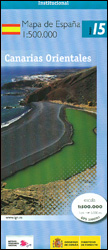
Eastern Canary Islands (Gran Canaria, Fuerteventure and Lanzarote) at 1:500,000 in a series of regional road map of Spain from the country’s civilian survey organization IGN-CNIG (Instituto Geogrรกfico Nacional – Centro Nacional de Informaciรณn Geogrรกfica), vividly presenting the topography by altitude colouring, boundaries of national/natural parks, etc.Given the scale of 1:500,000, this title can provide
Palomares del Campo CNIG Topo 633
Topographic coverage of mainland Spain at 1:50,000 in the MTN50 (Mapa Topogrรกfico Nacional) series from the Centro Nacional de Informaciรณn Geografica, the country’s civilian survey organization. The maps have contours at 20m intervals, enhanced by relief shading, plus colouring and/or graphics to show different types of terrain, vegetation or land use. Boundaries of national parks


