Category Archives: Maps
El Castillo 25K Fuerteventura CNIG Topographic Survey Map No. 1094-I

Topographic coverage of the Canary Islands at 1:25,000 published by the Instituto Geogrรกfico Nacional ‘“ Centro Nacional de Informaciรณn Geografica, the country’s civilian survey organization. The maps have contours at 10m intervals and colouring and/or graphics to show different types of vegetation or land use. Boundaries of national parks and other protected areas are marked.
Vega de San Mateo CNIG Topo 1104-3

Topographic coverage of the Canary Islands at 1:25,000 published by the Instituto Geogrรกfico Nacional ‘“ Centro Nacional de Informaciรณn Geografica, the country’s civilian survey organization. The maps have contours at 10m intervals and colouring and/or graphics to show different types of vegetation or land use. Boundaries of national parks and other protected areas are marked.
Playa del Ingles CNIG Topographic Map 1109-1

Topographic coverage of the Canary Islands at 1:25,000 published by the Instituto Geogrรกfico Nacional ‘“ Centro Nacional de Informaciรณn Geografica, the country’s civilian survey organization. The maps have contours at 10m intervals and colouring and/or graphics to show different types of vegetation or land use. Boundaries of national parks and other protected areas are marked.
Huesca Province 200K CNIG Map No. 22
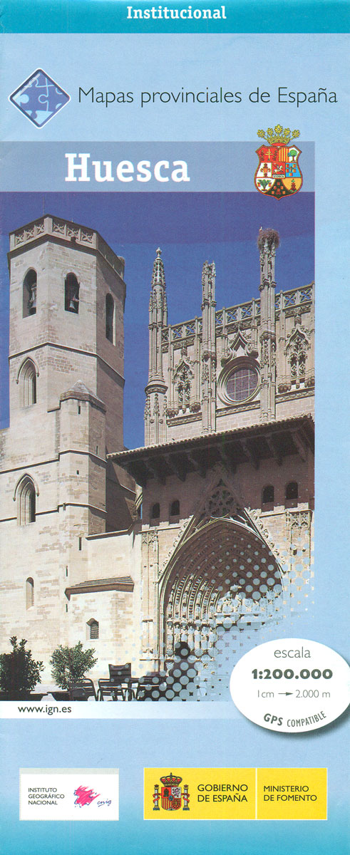
Contoured, GPS-compatible, indexed road map at 1:200,000 from CNIG – Spain’s civilian survey organization, with exceptionally informative presentation of the landscape and highlighting for facilities and places of interest including campsites and paradors.Maps in CNIG’s 200K Provincial Series provide an excellent picture the topography through contours at 100m intervals enhanced by relief shading, spot heights
Cuenca Province 200K CNIG Map No. 17
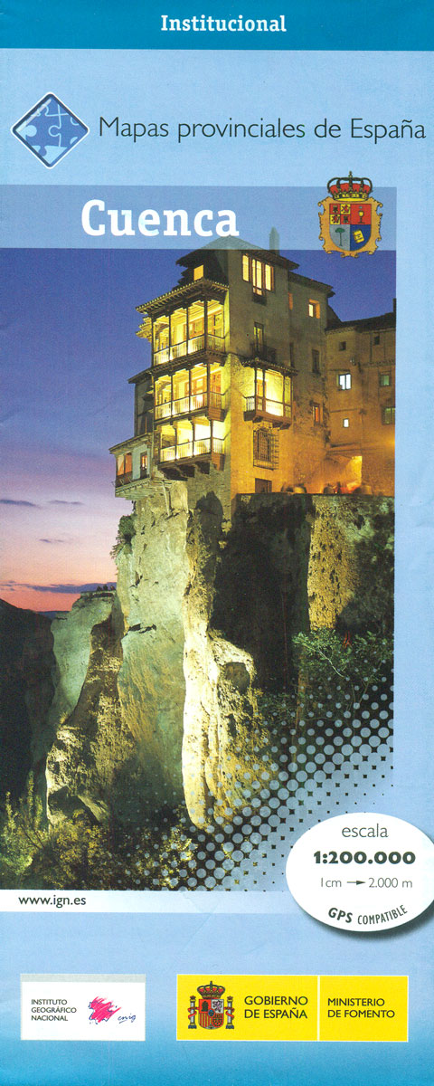
Contoured, GPS-compatible, indexed road map at 1:200,000 from CNIG – Spain’s civilian survey organization, with exceptionally informative presentation of the landscape and highlighting for facilities and places of interest including campsites and paradors.Maps in CNIG’s 200K Provincial Series provide an excellent picture the topography through contours at 100m intervals enhanced by relief shading, spot heights
Zaragoza Province 200K CNIG Map No. 48
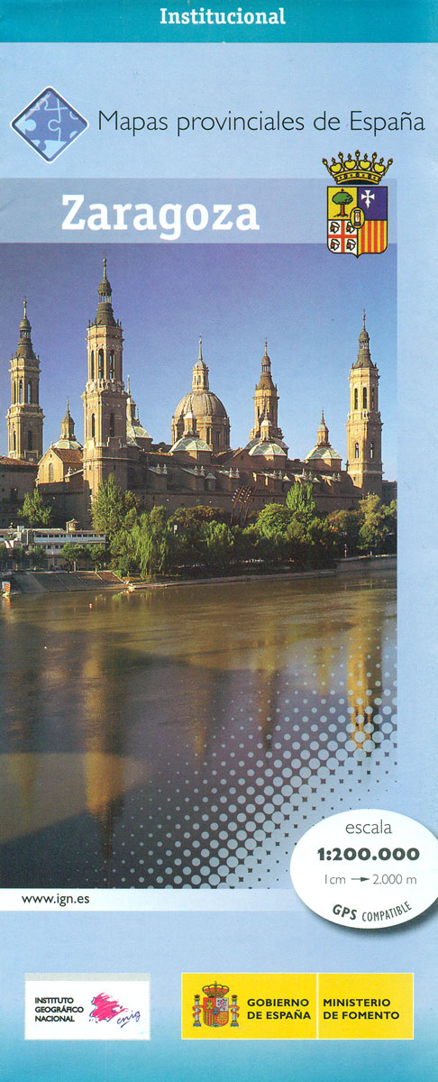
Contoured, GPS-compatible, indexed road map at 1:200,000 from CNIG – Spain’s civilian survey organization, with exceptionally informative presentation of the landscape and highlighting for facilities and places of interest including campsites and paradors.Maps in CNIG’s 200K Provincial Series provide an excellent picture the topography through contours at 100m intervals enhanced by relief shading, spot heights
Santo Domingo 25K La Palma CNIG Topographic Survey Map No. 1083-I

Topographic coverage of the Canary Islands at 1:25,000 published by the Instituto Geogrรกfico Nacional ‘“ Centro Nacional de Informaciรณn Geografica, the country’s civilian survey organization. The maps have contours at 10m intervals and colouring and/or graphics to show different types of vegetation or land use. Boundaries of national parks and other protected areas are marked.
Los Sauces – La Palma CNIG Topo 1083-2

Topographic coverage of the Canary Islands at 1:25,000 published by the Instituto Geogrรกfico Nacional ‘“ Centro Nacional de Informaciรณn Geografica, the country’s civilian survey organization. The maps have contours at 10m intervals and colouring and/or graphics to show different types of vegetation or land use. Boundaries of national parks and other protected areas are marked.
Mar Menor CNIG Map
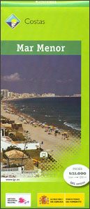
Mar Menor Lagoon with the surrounding mainland and the La Manga sandbar presented at 1:25,000 on a contoured and GPS compatible map from IGN/CNIG, Spain civilian survey organization, with cartography from the country’s topographic survey series. The map provides all the detail expected of topographic mapping at this scale: contour lines are at 10m intervals,
Pino de la Virgen 25K La Palma CNIG Topographic Survey Map No. 1083-III

Topographic coverage of the Canary Islands at 1:25,000 published by the Instituto Geogrรกfico Nacional ‘“ Centro Nacional de Informaciรณn Geografica, the country’s civilian survey organization. The maps have contours at 10m intervals and colouring and/or graphics to show different types of vegetation or land use. Boundaries of national parks and other protected areas are marked.
Tarancon CNIG Topo 607
Topographic coverage of mainland Spain at 1:50,000 in the MTN50 (Mapa Topogrรกfico Nacional) series from the Centro Nacional de Informaciรณn Geografica, the country’s civilian survey organization. The maps have contours at 20m intervals, enhanced by relief shading, plus colouring and/or graphics to show different types of terrain, vegetation or land use. Boundaries of national parks
San Juan de Puntallana – La Palma CNIG Topo 1083-4

Topographic coverage of the Canary Islands at 1:25,000 published by the Instituto Geogrรกfico Nacional ‘“ Centro Nacional de Informaciรณn Geografica, the country’s civilian survey organization. The maps have contours at 10m intervals and colouring and/or graphics to show different types of vegetation or land use. Boundaries of national parks and other protected areas are marked.
Anchuras CNIG Topo 709
Topographic coverage of mainland Spain at 1:50,000 in the MTN50 (Mapa Topogrรกfico Nacional) series from the Centro Nacional de Informaciรณn Geografica, the country’s civilian survey organization. The maps have contours at 20m intervals, enhanced by relief shading, plus colouring and/or graphics to show different types of terrain, vegetation or land use. Boundaries of national parks
Galdar 25K Gran Canaria CNIG Topographic Survey Map No. 1098-III

Topographic coverage of the Canary Islands at 1:25,000 published by the Instituto Geogrรกfico Nacional ‘“ Centro Nacional de Informaciรณn Geografica, the country’s civilian survey organization. The maps have contours at 10m intervals and colouring and/or graphics to show different types of vegetation or land use. Boundaries of national parks and other protected areas are marked.
Las Palmas de Gran Canaria 25K CNIG Topographic Survey Map No. 1098-IV

Topographic coverage of the Canary Islands at 1:25,000 published by the Instituto Geogrรกfico Nacional ‘“ Centro Nacional de Informaciรณn Geografica, the country’s civilian survey organization. The maps have contours at 10m intervals and colouring and/or graphics to show different types of vegetation or land use. Boundaries of national parks and other protected areas are marked.
El Risco CNIG Topo 1103-2

Topographic coverage of the Canary Islands at 1:25,000 published by the Instituto Geogrรกfico Nacional ‘“ Centro Nacional de Informaciรณn Geografica, the country’s civilian survey organization. The maps have contours at 10m intervals and colouring and/or graphics to show different types of vegetation or land use. Boundaries of national parks and other protected areas are marked.
San Nicolas de Tolentino CNIG Topo 1103-4

Topographic coverage of the Canary Islands at 1:25,000 published by the Instituto Geogrรกfico Nacional ‘“ Centro Nacional de Informaciรณn Geografica, the country’s civilian survey organization. The maps have contours at 10m intervals and colouring and/or graphics to show different types of vegetation or land use. Boundaries of national parks and other protected areas are marked.
Teror 25K Gran Canaria CNIG Topographic Survey Map No. 1104-I

Topographic coverage of the Canary Islands at 1:25,000 published by the Instituto Geogrรกfico Nacional ‘“ Centro Nacional de Informaciรณn Geografica, the country’s civilian survey organization. The maps have contours at 10m intervals and colouring and/or graphics to show different types of vegetation or land use. Boundaries of national parks and other protected areas are marked.


