Category Archives: Maps
Llano del Beal CNIG Topo 978-1
Topographic coverage of mainland Spain at 1:25,000 published by the Centro Nacional de Informaciรณn Geograficรก, the country’s civilian survey organization. The maps have contours at 10m intervals and colouring and/or graphics to show different types of vegetation or land use. Boundaries of national parks and other protected areas are marked. In addition to all the
Castilla y Leon Autonomous Community CNIG Physical Road Map
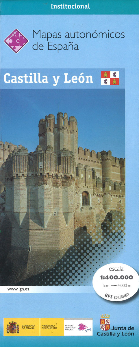
Castilla y Leon Autonomous Region of Spain at 1:400,000 in a series of physical road maps from CNIG – the country’s civilian survey organization, with an excellent presentation of the topography through relief shading and altitude colouring, plenty of names of mountain ranges, peaks, etcRelief shading is enhanced by bright altitude colouring, with plenty of
Murcia CNIG Topographic Map 934-1

Topographic coverage of mainland Spain at 1:25,000 published by the Centro Nacional de Informaciรณn Geograficรก, the country’s civilian survey organization. The maps have contours at 10m intervals and colouring and/or graphics to show different types of vegetation or land use. Boundaries of national parks and other protected areas are marked. In addition to all the
Sa Vileta CNIG Topo 698-1
Topographic coverage of the Balearic Islands at 1:25,000 published by the Instituto Geogrรกfico Nacional ‘“ Centro Nacional de Informaciรณn Geografica, the country’s civilian survey organization. The maps have contours at 10m intervals and colouring and/or graphics to show different types of vegetation or land use. Boundaries of national parks and other protected areas are marked.
San Pedro de Alcantara CNIG Topo 1072-2

Topographic coverage of mainland Spain at 1:25,000 published by the Centro Nacional de Informaciรณn Geograficรก, the country’s civilian survey organization. The maps have contours at 10m intervals and colouring and/or graphics to show different types of vegetation or land use. Boundaries of national parks and other protected areas are marked. In addition to all the
Santa Maria del Cami CNIG Topo 698-2

Topographic coverage of the Balearic Islands at 1:25,000 published by the Instituto Geogrรกfico Nacional ‘“ Centro Nacional de Informaciรณn Geografica, the country’s civilian survey organization. The maps have contours at 10m intervals and colouring and/or graphics to show different types of vegetation or land use. Boundaries of national parks and other protected areas are marked.
Alhama de Murcia CNIG Topo 933-3

Topographic coverage of mainland Spain at 1:25,000 published by the Centro Nacional de Informaciรณn Geograficรก, the country’s civilian survey organization. The maps have contours at 10m intervals and colouring and/or graphics to show different types of vegetation or land use. Boundaries of national parks and other protected areas are marked. In addition to all the
Sant Agusti CNIG Topo 698-3

Topographic coverage of the Balearic Islands at 1:25,000 published by the Instituto Geogrรกfico Nacional ‘“ Centro Nacional de Informaciรณn Geografica, the country’s civilian survey organization. The maps have contours at 10m intervals and colouring and/or graphics to show different types of vegetation or land use. Boundaries of national parks and other protected areas are marked.
Cรกceres Province 200K CNIG Map Np. 11
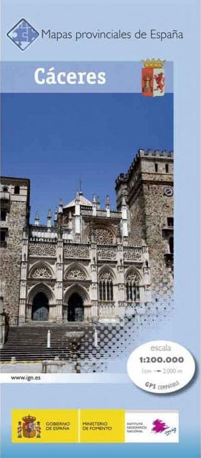
Contoured, GPS-compatible, indexed road map at 1:200,000 from CNIG – Spain’s civilian survey organization, with exceptionally informative presentation of the landscape and highlighting for facilities and places of interest including campsites and paradors.Maps in CNIG’s 200K Provincial Series provide an excellent picture the topography through contours at 100m intervals enhanced by relief shading, spot heights
Palma de Mallorca CNIG Topo 698-4

Topographic coverage of the Balearic Islands at 1:25,000 published by the Instituto Geogrรกfico Nacional ‘“ Centro Nacional de Informaciรณn Geografica, the country’s civilian survey organization. The maps have contours at 10m intervals and colouring and/or graphics to show different types of vegetation or land use. Boundaries of national parks and other protected areas are marked.
Cรณrdoba Province 200K CNIG Map No. 16
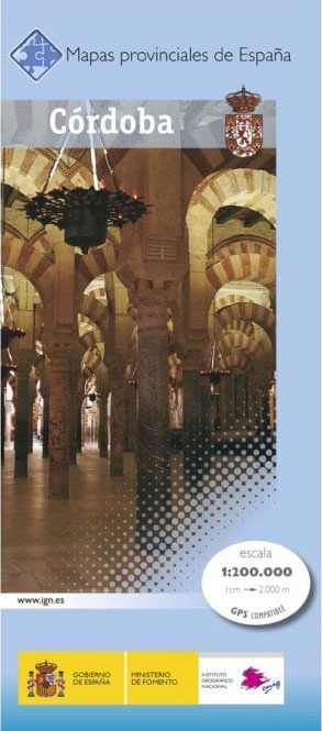
Contoured, GPS-compatible, indexed road map at 1:200,000 from CNIG – Spain’s civilian survey organization, with exceptionally informative presentation of the landscape and highlighting for facilities and places of interest including campsites and paradors.Maps in CNIG’s 200K Provincial Series provide an excellent picture the topography through contours at 100m intervals enhanced by relief shading, spot heights
Cadรญz Province 200K CNIG Map No. 12
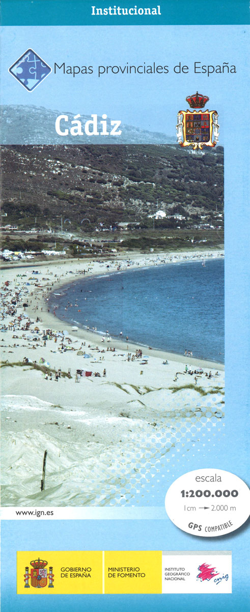
Contoured, GPS-compatible, indexed road map at 1:200,000 from CNIG – Spain’s civilian survey organization, with exceptionally informative presentation of the landscape and highlighting for facilities and places of interest including campsites and paradors.Maps in CNIG’s 200K Provincial Series provide an excellent picture the topography through contours at 100m intervals enhanced by relief shading, spot heights
Negreira CNIG Topo 94-3

Topographic coverage of mainland Spain at 1:25,000 published by the Centro Nacional de Informaciรณn Geograficรก, the country’s civilian survey organization. The maps have contours at 10m intervals and colouring and/or graphics to show different types of vegetation or land use. Boundaries of national parks and other protected areas are marked. In addition to all the
Lanjaron CNIG Topo 1042-1

Topographic coverage of mainland Spain at 1:25,000 published by the Centro Nacional de Informaciรณn Geograficรก, the country’s civilian survey organization. The maps have contours at 10m intervals and colouring and/or graphics to show different types of vegetation or land use. Boundaries of national parks and other protected areas are marked. In addition to all the
Berchules CNIG Topo 1042-2

Topographic coverage of mainland Spain at 1:25,000 published by the Centro Nacional de Informaciรณn Geograficรก, the country’s civilian survey organization. The maps have contours at 10m intervals and colouring and/or graphics to show different types of vegetation or land use. Boundaries of national parks and other protected areas are marked. In addition to all the
Orgiva CNIG Topo 1042-3

Topographic coverage of mainland Spain at 1:25,000 published by the Centro Nacional de Informaciรณn Geograficรก, the country’s civilian survey organization. The maps have contours at 10m intervals and colouring and/or graphics to show different types of vegetation or land use. Boundaries of national parks and other protected areas are marked. In addition to all the
Torvizcon CNIG Topo 1042-4

Topographic coverage of mainland Spain at 1:25,000 published by the Centro Nacional de Informaciรณn Geograficรก, the country’s civilian survey organization. The maps have contours at 10m intervals and colouring and/or graphics to show different types of vegetation or land use. Boundaries of national parks and other protected areas are marked. In addition to all the
Guejar Sierra CNIG Topo 1027-1

Topographic coverage of mainland Spain at 1:25,000 published by the Centro Nacional de Informaciรณn Geograficรก, the country’s civilian survey organization. The maps have contours at 10m intervals and colouring and/or graphics to show different types of vegetation or land use. Boundaries of national parks and other protected areas are marked. In addition to all the
Picon de Jeres CNIG Topo 1027-2

Topographic coverage of mainland Spain at 1:25,000 published by the Centro Nacional de Informaciรณn Geograficรก, the country’s civilian survey organization. The maps have contours at 10m intervals and colouring and/or graphics to show different types of vegetation or land use. Boundaries of national parks and other protected areas are marked. In addition to all the


