Category Archives: Maps
Muntanya d’Alinyร Editorial Alpina
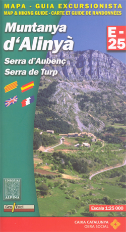
Muntanya d’Alinyร , including Serra d’Aubenรง and Serra de Turp, in an extensive and very popular series of walking maps from Editorial Alpina covering the Pyrenees, Catalonia and other selected hiking areas in Spain, including Picos de Europa, Sierra Nevada and parts of Andalucรญa, Majorca, etc. Scales vary from 1:50,000 to 1:10,000, with the majority of
Muntanyes de Llibertat Hiking Circuit
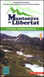
Muntanyes de Llibertat Hiking Circuit, a 62km-long cross-border hiking trail in the central Pyrenees covering the routes of Republican refuges from Spain into France after the Civil War and of Jewish refuges from France during World War II, presented by Editorial Alpina at 1:25,000 on a contoured and GPS compatible map. Staring from the campsite
Ripollรจs Editorial Alpina
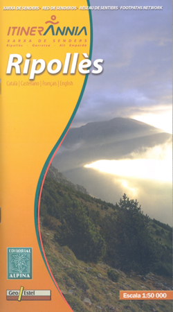
Ripollรจs in an extensive and very popular series of walking maps from Editorial Alpina covering the Pyrenees, Catalonia and other selected hiking areas in Spain, including Picos de Europa, Sierra Nevada and parts of Andalucรญa, Majorca, etc. Scales vary from 1:50,000 to 1:10,000, with the majority of the titles at 1:25,000. The maps have contours,
Pass`Aran Circuit: Couserans – Val d`Aran

A cross-border circuit in the Pyrenees linking the Couserans section of the GR10 in France with a route in the upper part of the Val d’Aran in Spain, presented by Editorial Alpina on a contoured and GPS compatible map at 1:25,000, accompanied by a booklet with stage-by-stage descriptions and contact details for refuges.The map has
Landscapes along the River Ter Ed. Alpina 40K Map
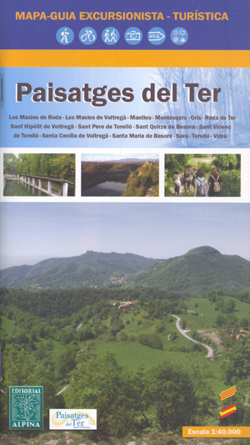
Landscapes along the River Ter map in an extensive and very popular series of walking maps from Editorial Alpina covering the Pyrenees, Catalonia and other selected hiking areas in Spain, including Picos de Europa, Sierra Nevada and parts of Andalucรญa, Majorca, etc. Scales vary from 1:50,000 to 1:10,000, with the majority of the titles at
Mallorca Editorial Alpina Cycling Map

Mallorca at 1:100,000 on a double-sided cycling map from Editorial Alpina printed on light, waterproof and tear-resistant plastic paper. Roads are classified according to density of traffic and six route profiles are included.The map is double-sided, dividing the island east-west with a small overlap between the sides. Topography is shown by altitude colouring with spot
Palma de Mallorca

Palma de Mallorca on an indexed street plan at 1:10,500 from Telstar Distrimapas, Spain’s leading publisher of city maps, with an enlargement showing the city centre in greater detail, plus an indexed road map of Mallorca on the reverse.On one side is an indexed street plan of the city indicating locations of car parks, taxi
รvila

รvila on an indexed street plan at 1:6,000 from Telstar Distrimapas, Spain’s leading publisher of city maps, with an indexed road map of the province and English language descriptions of the city’s 17 main sights. On one side is an indexed street plan of the city indicating locations of car parks, taxi ranks, petrol stations,
Seville (Spanish Edition)

Seville on an indexed street plan at 1:12,000 from Telstar Distrimapas with a more detailed enlargement of the city’s historic centre, Spanish language descriptions of 32 main sights, plus very extensive listings of various facilities including hotels, restaurants, museums and galleries, etc. On one side is a street plan with a street index in a
Cรกceres

Cรกceres on an indexed street plan at 1:8,000 from Telstar Distrimapas, Spain’s leading publisher of city maps, with an enlargement of the city centre, plus a road map of the province with English language descriptions of four tours.On one side is an indexed street plan of the city with main public buildings and places interest
Cรกdiz

Cรกdiz on an indexed street plan at 1:7,500 from Telstar Distrimapas, Spain’s leading publisher of city maps, with English language descriptions of three routes across the city, plus a road map of the Cรกdiz province.On one side is an indexed street plan of the city indicating locations of car parks, taxi ranks, petrol stations, etc.,
Spain Road Atlas 2021 Set (incl. Map and DVD)
Road Atlas of Spain at 1:300,000 in a spiral-bound format, with an additional folded road map for route planning, plus a Spanish/English DVD. The atlas is produced in a convenient 17x32cm spiral-bound format, but with all the map pages opening up to 44x32cm. Detailed road classification indicates toll and free motorways and gives driving distances
La Coruรฑa

La Coruรฑa / A Coruรฑa on an indexed street plan at 1:7,200 from Telstar Distrimapas, Spain’s leading publisher of city maps, plus an indexed road map of the A Coruรฑa province with English language descriptions of five sightseeing routes.On one side is an indexed street plan of the city indicating locations of car parks, taxi
Sierra de Gredos: Valles del Alberche y del Tiรฉtar
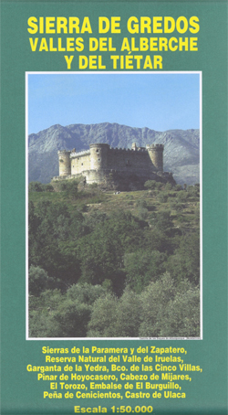
Sierra de Gredos: Valles del Alberche y del Tiรฉtar in a series covering Spain’s Sistema Central on detailed hiking maps with cartography of the Spanish military survey and overprint for hiking routes, campsites and refuges, etc. The map has contours at 20m intervals with elevation colouring and carries all the topographic information expected of survey


