Category Archives: Maps
Sant Llorenc del Munt i l`Obac Editorial Alpina
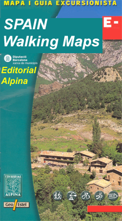
Sant Llorenรง del Munt i l`Obac area at 1:25,000 in an extensive and very popular series of walking maps from Editorial Alpina. Contours are at 10m intervals, enhanced by relief shading and vegetation colouring. The map has UTM grid and 1’ margin ticks. In addition to footpaths, the overprint shows various types of accommodation (hotels,
Montnegre – Corredor Editorial Alpina

The Montnegre – Corredor Natural Park on the Costa Brava presented by Editorial Alpina at 1:25,000 on a contoured and GPS compatible map with an overprint highlighting hiking trails, various accommodation options, etc.Topography is shown by contours at 10m intervals, relief shading and vegetation colouring. In addition to footpaths, the overprint shows various types of
Bergueda: Berga – Serra del Cadรญ Ed. Alpina Paragliding Map
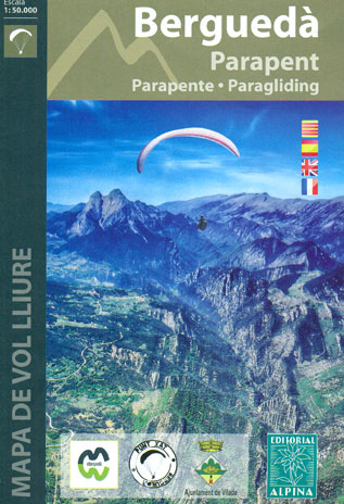
The Berga – Serra del Cadรญ area of the Catalan Pyrenees presented by Editorial Alpina at 1:50,000 on a contoured and GPS compatible map highlighting sites for paragliding, annotated with information about takeoff cross or hike-&-fly, thermals and wind direction, minimal altitude, GPS waypoints, etc.The base map has contours at 20m intervals with relief shading
Alt Pirineu Natural Park Editorial Alpina
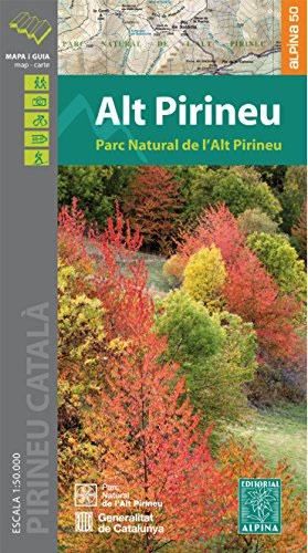
Alt Pirineu Natural Park in the Catalan Pyrenees on a contoured and GPS compatible map at 1:50,000 from Editorial Alpina. Coverage extends northwards from La Seu d’Urgell and Sort beyond the French border to Aulus-les-Bains. Accompanying booklet includes an extensive list of contact details for various types of local accommodation.The map has contours at 20m
Pyrenees 350K Editorial Alpina Road Map
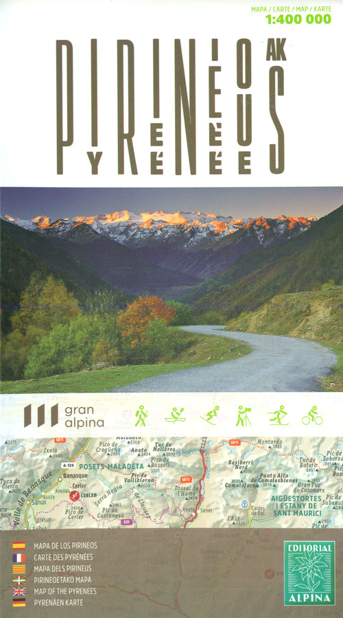
Pyrenees coast to coast and across both sides of the border presented by Editorial Alpina on a map at 1:400,000 with coverage extending from Auch, Toulouse and Bรฉziers in France to Zaragoza, Lleida and Barcelona in Spain; plus panels showing protected areas and the diversity of regional languages.Relief shading and altitude colouring presents the region’s
Vall de Lord – Port del Comte Editorial Alpina

Vall de Lord area of the Catalan Pyrenees, including Port del Comte, Serra del Verd and Serra de Busa, presented by Editorial Alpina at 1:25,000 on a contoured and GPS compatible map with an overprint highlighting hiking trails, various recreational sites and accommodation options, etc, Topography is shown by contours at 10m intervals relief shading
In the Footsteps of Picasso (Camรญ de Picasso) Hiking Trail
In the Footsteps of Picasso Hiking Trail (Camรญ de Picasso) on a GP compatible, contoured map at 1:25,000 from Editiorial Alpina, covering the route of a 59-km journey made by the painter in spring 1906 from Guardiola to Bellver de Cerdanya.The course of the trail is highlighted on a detailed map with contours at 10m
Ordesa and Monte Perdido National Park 2-Map Set Editorial Alpina

Ordesa and Monte Perdido National Park at 1:25,000 in a set of two GPS compatible recreational maps in an extensive and very popular series from Editorial Alpina, providing more detailed coverage of this popular hiking area.Contours are at 10m intervals, with relief shading and vegetation colouring. An overprint highlights waymarked PR hiking paths, the GR11,
Posets-Maladeta Natural Park 2-Map Set Editorial Alpina
Posets – Maladeta Natural Park on a 2-map set from Editorial Alpina containing two of the publishers’ 1:25,000 maps: Aneto ‘“ Maladeta and Posets ‘“ Perdiguero. Both maps have contours at 10m intervals, with relief shading and vegetation colouring and are GPS compatible showing a 1-km UTM grid and 1’ margin ticks. An overprint highlights
Tour of the Canigรณ Hiking Circuit
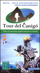
A 64-km long tour of Canigรณ (Canigou), the highest mountain in the eastern Pyrenees, presented by Editorial Alpina on a contoured, GPS compatible map at 1:25,000, with a booklet providing descriptions of its recommended stages.The map has contours at 20m intervals, enhanced by relief shading. The tour which follows sections of the GR10, the HRP
Muntanyes de Prades Editorial Alpina
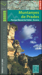
Muntanyes de Prades in southern Catalonia north of Reus, on a contoured and GPS compatible map from Editoral Alpina highlighting both local waymarked routes and GR trails, campsites and other types of tourist accommodations, climbing and canyoning sites, locations of petrol stations on local roads, etc. The map has contours at 10m intervals, enhanced by
Serralada de Marina Editorial Alpina
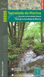
Serralada de Marina and Serralada de Litoral, between the northern outskirts of Barcelona and Granollers, at 1:25,000 on a contoured and GPS compatible map from Editoral Alpina highlighting both local waymarked routes and GR trails, campsites and other types of tourist accommodations, climbing and canyoning sites, locations of petrol stations on local roads, etc. The
Vigo and Pontevedra

Vigo and Pontevedra on an indexed street plan at 1:13,300 from Telstar Distrimapas, Spain’s leading publisher of city maps, with a detailed enlargement Vigo’s city centre and a road map of the Pontevedra province.On one side is an indexed street plan of Vigo indicating locations of car parks, taxi ranks, petrol stations, etc. Main public
Mallorca North Walking & Cycling Map & Guide Editorial Alpina
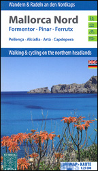
Mallorca North Walking & Cycling Map & Guide set from Editorial Alpina, with a double-sided, contoured and GPS compatible map at 1:25,000, plus a booklet with English language descriptions of 90 hiking routes from various locations.The map covers two areas on the north-eastern coast of Mallorca: one side Cap de Formentor with Cap des Pinar
Gibraltar – Costa del Sol
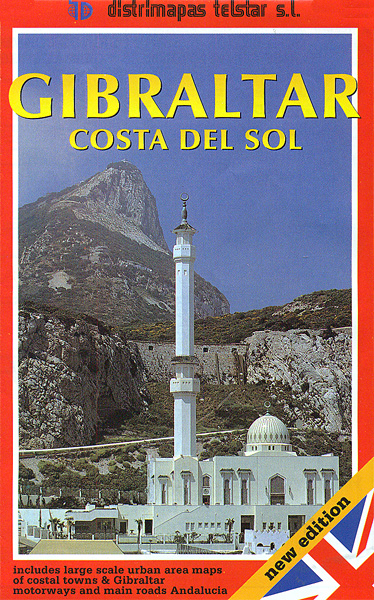
Street plan of Gibraltar from the Spanish publishers Telstar, plus an indexed road map at 1:350,000 of Costa del Sol with Costa de la Luz and town centre street plans of seven popular local destinations: Malaga, Torremolinos, Marbella, Estepona, Ronda, Fuengirola and Nerja.On one side two panels cover Gibraltar. A map of the whole of
Muntanyes Mร giques / Magical Mountains Hiking Trail

Muntanyes Mร giques / Magical Mountains Hiking Trail, a 98km-long hiking route along the peaks and the foothills of eastern Pyrenees presented by Editorial Alpina at 1:50,000 on a contoured and GPS compatible map. The route starts in Ribes de Freser and climbs northwards to follow a section of the Spanish/French border before continuing westwards along
Muntanya d’Alinyร Editorial Alpina
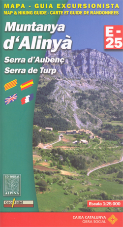
Muntanya d’Alinyร , including Serra d’Aubenรง and Serra de Turp, in an extensive and very popular series of walking maps from Editorial Alpina covering the Pyrenees, Catalonia and other selected hiking areas in Spain, including Picos de Europa, Sierra Nevada and parts of Andalucรญa, Majorca, etc. Scales vary from 1:50,000 to 1:10,000, with the majority of
Muntanyes de Llibertat Hiking Circuit
Muntanyes de Llibertat Hiking Circuit, a 62km-long cross-border hiking trail in the central Pyrenees covering the routes of Republican refuges from Spain into France after the Civil War and of Jewish refuges from France during World War II, presented by Editorial Alpina at 1:25,000 on a contoured and GPS compatible map. Staring from the campsite
Ripollรจs Editorial Alpina
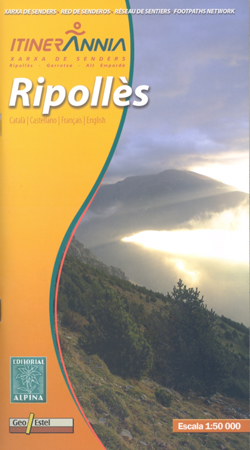
Ripollรจs in an extensive and very popular series of walking maps from Editorial Alpina covering the Pyrenees, Catalonia and other selected hiking areas in Spain, including Picos de Europa, Sierra Nevada and parts of Andalucรญa, Majorca, etc. Scales vary from 1:50,000 to 1:10,000, with the majority of the titles at 1:25,000. The maps have contours,


