Category Archives: Maps
Mallorca – Tramuntana North Editorial Alpina
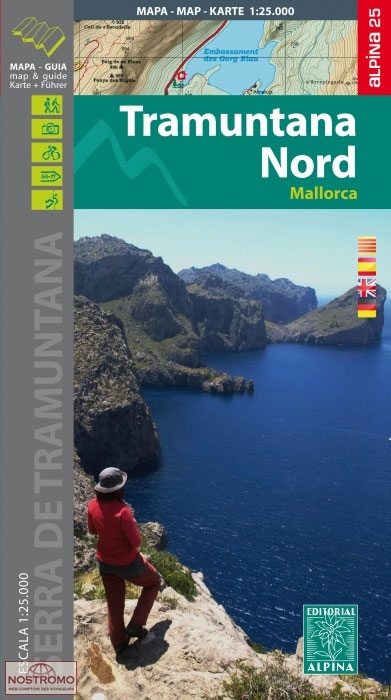
The northern part of Mallorca’s Serra de Tramuntana mountains on a contoured and GPS-compatible map at 1:25,000 from Editorial Alpina, highlighting numerous local hiking trails and the course of the GR221 long-distance trail, climbing and canyoning sites, refuges and campsites, etc. Accompanying booklet includes English-language descriptions of several recommended routes.The map has contours at 10m
El Turbรณn ‘“ Alto Valle de Isรกbena Editorial Alpina
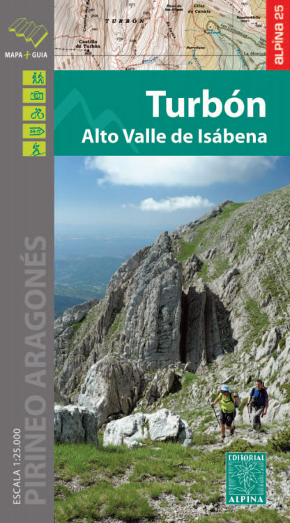
El Turbรณn – Alto Valle de Isรกbena in an extensive and very popular series of walking maps from Editorial Alpina covering the Pyrenees, Catalonia and other selected hiking areas in Spain, including Picos de Europa, Sierra Nevada and parts of Andalucรญa, Majorca, etc. Scales vary from 1:50,000 to 1:10,000, with the majority of the titles
Serra del Cadรญ – Pedraforca Editorial Alpina
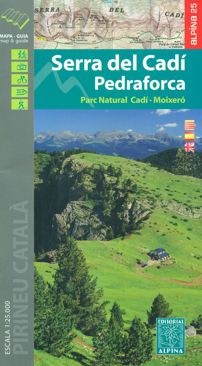
Serra del Cadรญ – Pedraforca area of the eastern Pyrenees in Spain, including the Cadรญ ‘“ Moixerรณ Natural Park, presented on a contoured and GPS compatible map at 1:25,000 from Editorial Alpina. The map has contours at 10m intervals, enhanced by relief shading with plenty of spot heights, plus colouring for different types of vegetation
Ultra Pirineu 2019 Official Trail Running Map
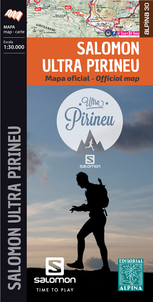
The official map showing the routes and the nearby facilities of three events to be held from 18th to 20th September 2015 in the Catalan Pyrenees. Published by Editorial Alpina, the map has cartography of the publishers’ recreational maps of the region, with contours at 20m intervals, altitude colouring and relief shading providing a vivid
Cabo de Gata-Nรญjar Natural Park Editorial Alpina
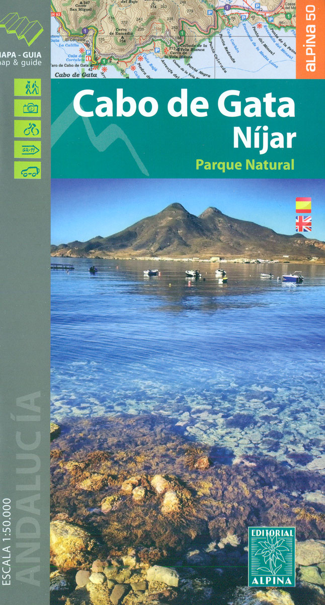
Cabo da Gata area on the south-eastern tip of Andalucรญa on a contoured and GPS compatible map at 1:50,000 from Editorial Alpina highlighting hiking and cycling trails, plus a booklet with English language descriptions of recommended routes, accommodation lists, etc.Topography is shown by contours at 20m intervals, with relief shading and numerous spot-heights, plus colouring
Ruta dels Estanys Amagats
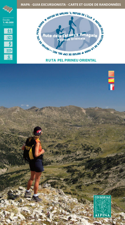
The Hidden Lakes (Ruta dels Estanys Amagats) Hiking Circuit, a 97km route across the Cerdanya region of the Spanish Pyrenees and Andorra, presented at 1:40,000 on a contoured and GPS compatible map from Editorial Alpina, with contact details of mountain refuges.The map has contours at 20m intervals, enhanced by relief shading. The Hidden Lakes circuit
Mallorca – Tramuntana South Editorial Alpina
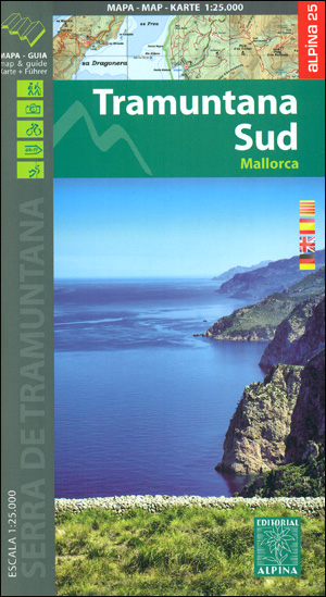
The southern part of Mallorca’s Serra de Tramuntana mountains on a contoured and GPS-compatible map at 1:25,000 from Editorial Alpina, highlighting numerous local hiking trails and the course of the GR221 long-distance trail, climbing and canyoning sites, refuges and campsites, etc. Accompanying booklet includes English-language descriptions of several recommended routes.The map has contours at 10m
3mils.cat: Traverse of Ten 3000m Peaks in the Catalan Pyreness
The ‘3mils.cat” route – a 125km / 10 day traverse across 10 over 3000m high peaks in the Catalan Pyrenees – on a contoured and GPS compatible map at 1:40,000 from Editorial Alpina with a booklet providing accommodation details, stage descriptions, etc.The route – from Tuc de Moliรจres o Mulleres (3,010m), just south-east of Pic
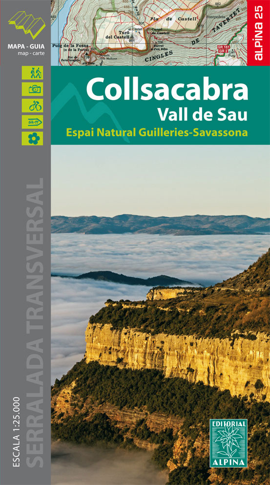
Collsacabra – Vall de Sau Editorial Alpina
Menorca – Camรญ de Cavalls – GR223 Editorial Alpina CATALAN
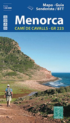
Menorca at 1:50,000 on a contoured, GPS compatible map from Editorial Alpina with a special overprint for the GR223 ‘“ Camรญ de Cavalls, a long-distance hiking path along the island’s coast, plus local trails, mountain bike routes, accommodation, sights, etc, plus a booklet in Catalan only.The map has contours at 20m intervals, with additional colouring
Cotiella ‘“ Peรฑa Montaรฑesa Editorial Alpina
Cotiella ‘“ Peรฑa Montaรฑesa area of the Aragonese Pyrenees in Spain, just south of Bielsa, on a contoured and GPS compatible map at 1:25,000 from Editorial Alpina, with a booklet including English language descriptions of recommended walks, plus extensive accommodation list, etc.The map has contours at 10m intervals enhanced by relief shading, plus colouring to
Garrotxa – Zona Volcanica Editorial Alpina

Garrotxa Volcanic Zone Natural Park near Olot in the Catalan Pyrenees on a contoured and GPS-compatible map at 1:25,000 from Editoral Alpina, highlighting local and long-distance hiking trails, etc, plus a booklet with 26 pages in English providing descriptions of 11 recommended local walks, etc.The map has contours at 10m intervals with relief shading and
Cap de Creus Park Natural Editorial Alpina
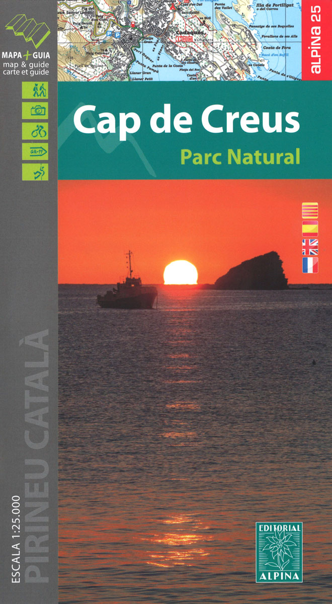
Cap de Creus Natural Park on the Costa Brava at 1:25,000 on a contoured and GPS compatible map from Editorial Alpina, plus a booklet which includes English language descriptions several recommended hiking trails, accommodation details, etc.Topography is presented by contours at10m intervals with relief shading and plenty of spot heights, plus colouring and/or graphics for
Guadarrama – La Pedriza 2-Map Set Editorial Alpina
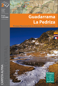
Sierra de Guadarrama north of Madrid at 1:25,000 on a set of two contoured and GPS compatible map from Editorial Alpina, highlighting waymarked local and long-distance hiking trails, tourist accommodation, places of interest, etc. Vivid presentation of the topography is provided by contours at 10m intervals enhanced by numerous spot heights, relief shading and colouring
Mallorca Central Plain – East and South Coasts Editorial Alpina

Mallorca’s central plain with the south-eastern and eastern coast on a waterproof and tear-resistant, double-sided, contoured and GPS compatible map at 1:50,000 from Editorial Alpina, highlighting hiking trails plus cycling and mountain biking routes, including 27 recommendations with English language descriptions in the accompanying booklet.The double-sided map has contours at 20m intervals with additional altitude
Costabona – Alta Val de Ter Editorial Alpina
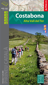
Costabona – Alta Val de Ter area of the Catalan Pyrenees on a contoured and GPS compatible map at 1:25,000 from Editorial Alpina, highlighting hiking trails, campsites and refuges, etc. Topography is shown by contours at 10m intervals with relief shading and numerous spot heights, plus colouring for woodlands, brushwood, meadows and farmland. The overprint
Sant Llorenc del Munt i l`Obac Editorial Alpina
Sant Llorenรง del Munt i l`Obac area at 1:25,000 in an extensive and very popular series of walking maps from Editorial Alpina. Contours are at 10m intervals, enhanced by relief shading and vegetation colouring. The map has UTM grid and 1’ margin ticks. In addition to footpaths, the overprint shows various types of accommodation (hotels,
Montnegre – Corredor Editorial Alpina

The Montnegre – Corredor Natural Park on the Costa Brava presented by Editorial Alpina at 1:25,000 on a contoured and GPS compatible map with an overprint highlighting hiking trails, various accommodation options, etc.Topography is shown by contours at 10m intervals, relief shading and vegetation colouring. In addition to footpaths, the overprint shows various types of
Bergueda: Berga – Serra del Cadรญ Ed. Alpina Paragliding Map
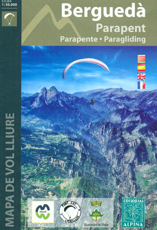
The Berga – Serra del Cadรญ area of the Catalan Pyrenees presented by Editorial Alpina at 1:50,000 on a contoured and GPS compatible map highlighting sites for paragliding, annotated with information about takeoff cross or hike-&-fly, thermals and wind direction, minimal altitude, GPS waypoints, etc.The base map has contours at 20m intervals with relief shading


