Category Archives: Maps
Tourem

Topographic survey of Portugal at 1:50,000 from the Instituto Geogrรกfico do Exรฉrcito, the country’s military survey organisation. The maps have contours at 20m intervals and in addition to the standard features shown on topographic mapping at this scale also indicate various types of terrain or vegetation (sand, terraces, rocks, woodlands, vineyards, etc). Each sheet covers
The Constellations Wall Map PAPER
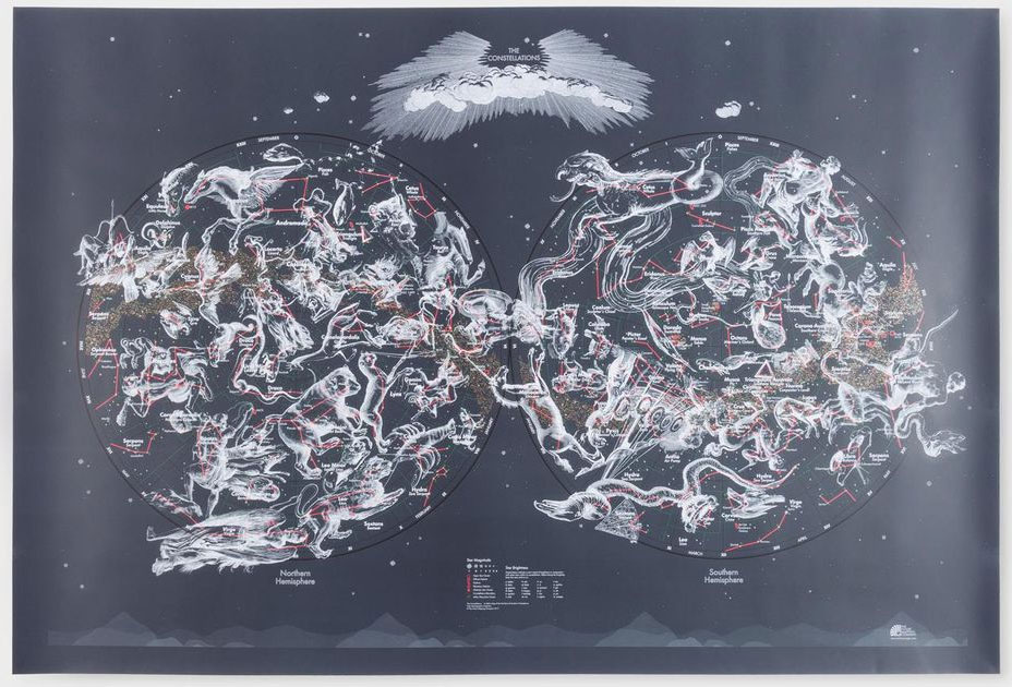
This functional map shows every star directly observable by the naked eye indicated by magnitude and brightness. Also mapped are the nebulae, star clusters and galaxies visible from Earth. Original 17th century illustrations by Polish astronomer Johannes Hevelius depict the creatures and characters that inspired ancient astronomers to identify the constellations – we’ve included both
Drakensberg Range 4 – Highmoor – Giant`s Castle – Kamberg – Mkhomazi
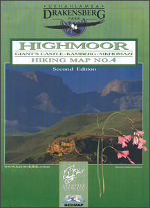
Highmoor – Giant`s Castle – Kamberg ‘“ Mkhomazi area of the Drakensberg Mountains in a series of six contoured and GPS compatible maps at 1:50,000 from the Kwazulu Natal Nature Conservation Service, highlighting hiking routes, entry points and restriction zones, locations of caves, accommodations facilities, etc, plus on the reverse drawings of the local flora
Drakensberg Range 5 – Cobham – Lotheni – Vrgelegen – Cobham
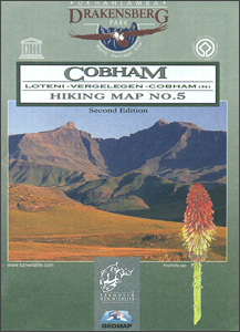
Cobham North – Loteni ‘“ Vergelegen area of the Drakensberg Mountains in a series of six contoured and GPS compatible maps at 1:50,000 from the Kwazulu Natal Nature Conservation Service, highlighting hiking routes, entry points and restriction zones, locations of caves, accommodations facilities, etc, plus on the reverse drawings of the local flora and fauna,
Drakensberg Range 6 – Garden Castle – Cobham – Bushman`s Nek
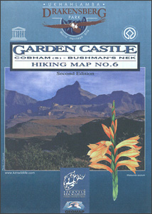
Garden Castle – Cobham South – Bushman`s Nek area of the Drakensberg Mountains in a series of six contoured and GPS compatible maps at 1:50,000 from the Kwazulu Natal Nature Conservation Service, highlighting hiking routes, entry points and restriction zones, locations of caves, accommodations facilities, etc, plus on the reverse drawings of the local flora
Cusco

One of the maps in the topographic survey of Peru from the country’s national survey organization, Instituto Geogrรกfico Nacional. Contours are at 25m intervals and colouring/symbols indicate different types of terrain and vegetation. Some of the maps may contain small blank spaces representing as yet unmapped areas. Each sheet covers 30’ latitude by 30’ longitude.
Qeqertarsuup Tunua
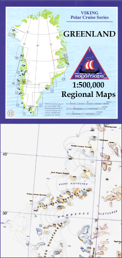
One of the titles in a series of contoured physical maps covering the coastal areas of Greenland. The maps have the same cartography as the 1:250,000 series by this publisher, reproduced here at half the original scale. The reduction means that some place names, symbols and fine detail are harder to read than on the
Kangerlussuaq – Nuuk

One of the titles in a series of contoured physical maps covering the coastal areas of Greenland. The maps have the same cartography as the 1:250,000 series by this publisher, reproduced here at half the original scale. The reduction means that some place names, symbols and fine detail are harder to read than on the
Kalaallit Nunaata Kujataa

One of the titles in a series of contoured physical maps covering the coastal areas of Greenland. The maps have the same cartography as the 1:250,000 series by this publisher, reproduced here at half the original scale. The reduction means that some place names, symbols and fine detail are harder to read than on the
British Isles Maps International Planning Map PAPER
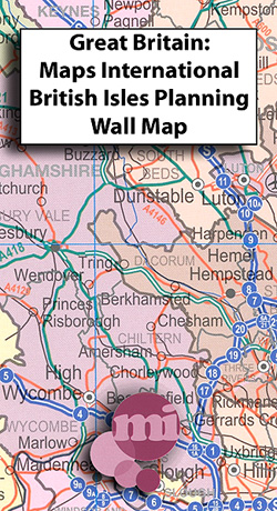
Wall map of the British Isles and Ireland from Maps International; at 1:600,000 and measuring 110x160cm, this is one of our largest single sheet maps of Great Britain, almost twice the size of most other wall maps we stock.Cartography shows motorways and A roads with interchanges and service areas indicated, as well as railway lines
Nuuk – Ivittuut

One of the titles in a series of contoured physical maps covering the coastal areas of Greenland. The maps have the same cartography as the 1:250,000 series by this publisher, reproduced here at half the original scale. The reduction means that some place names, symbols and fine detail are harder to read than on the
Hestur
Topographic survey of Faroe Islands at 1:20,000 prepared by the Danish national mapping agency Kort og Matrikelstyrelsen. The islands’ topography is vividly presented by contours at 5 metre intervals, enhanced by relief shading plus colouring and/or graphics for different types of terrain or vegetation (scree, boulders, etc). The maps show all the detail expected of
Nolsoyarfjodur

Topographic survey of Faroe Islands at 1:20,000 prepared by the Danish national mapping agency Kort og Matrikelstyrelsen. The islands’ topography is vividly presented by contours at 5 metre intervals, enhanced by relief shading plus colouring and/or graphics for different types of terrain or vegetation (scree, boulders, etc). The maps show all the detail expected of
Huanuco

One of the titles in a series of maps of the administrative departments of Peru, with topography shown by altitude colouring and spot heights. Most maps also indicate cultivated areas. Scales vary considerably, given different sizes of the departments. Railways and four different types of roads and dirt tracks are shown, as well as local
Junin

One of the titles in a series of maps of the administrative departments of Peru, with topography shown by altitude colouring and spot heights. Most maps also indicate cultivated areas. Scales vary considerably, given different sizes of the departments. Railways and four different types of roads and dirt tracks are shown, as well as local
La Libertad

One of the titles in a series of maps of the administrative departments of Peru, with topography shown by altitude colouring and spot heights. Most maps also indicate cultivated areas. Scales vary considerably, given different sizes of the departments. Railways and four different types of roads and dirt tracks are shown, as well as local
Lambayeque

One of the titles in a series of maps of the administrative departments of Peru, with topography shown by altitude colouring and spot heights. Most maps also indicate cultivated areas. Scales vary considerably, given different sizes of the departments. Railways and four different types of roads and dirt tracks are shown, as well as local
Moquegua

One of the titles in a series of maps of the administrative departments of Peru, with topography shown by altitude colouring and spot heights. Most maps also indicate cultivated areas. Scales vary considerably, given different sizes of the departments. Railways and four different types of roads and dirt tracks are shown, as well as local
Pasco

One of the titles in a series of maps of the administrative departments of Peru, with topography shown by altitude colouring and spot heights. Most maps also indicate cultivated areas. Scales vary considerably, given different sizes of the departments. Railways and four different types of roads and dirt tracks are shown, as well as local
Piura

One of the titles in a series of maps of the administrative departments of Peru, with topography shown by altitude colouring and spot heights. Most maps also indicate cultivated areas. Scales vary considerably, given different sizes of the departments. Railways and four different types of roads and dirt tracks are shown, as well as local


