Category Archives: Maps
La Alta Ruta de los Perdidos – Monte Perdido – Vignemale Editorial Alpina Hiking Circuit Map
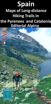
La alta ruta de Los Perdidos hiking route, a circuit around the highest part of the Pyrenees on both sides of the border using sections of the GR10 in France, GR11 in Spain and the HRP ‘“ the Pyrenees High Route, highlighted on an excellent, clear map at 1:30,000 from Editorial Alpina with mountain refuges,
Vall Fosca – Montsent de Pallars Editorial Alpina 2-Map Set
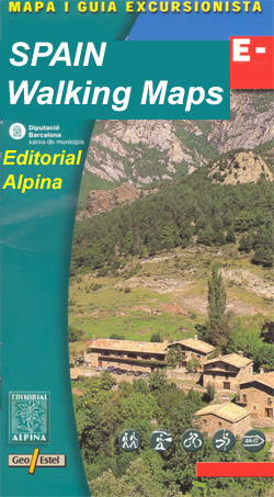
Vall Fosca – Montsent de Pallars area of the Catalan Pyrenees in Spain, just south of Bielsa, on a contoured and GPS compatible map at 1:25,000 from Editorial Alpina, with a booklet including English language descriptions of recommended walks.The map has contours at 10m intervals enhanced by relief shading, plus colouring to show different types
Montserrat Nature Park Editorial Alpina
Montserrat Natural Park in Catalonia on a double-sided, contoured and GPS compatible map from Editorial Alpina, showing on one side the whole area at 1:10,000, with on the reverse the central part of the park at more detailed scale of 1:5,000. On both sides vivid presentation of the topography is provided by contours at 5m
Andorra – Comapedrosa – Engorgs – Jucla – Pessons – Tristaina Editorial Alpina
Andorra at 1:40,000 on a contoured and GPS compatible map from Editoral Alpina highlighting both local waymarked routes and GR trails, campsites and other types of tourist accommodations, climbing and canyoning sites, locations of petrol stations on local roads, etc. The map has contours at 20m intervals, enhanced by relief shading and vegetation colouring, and
Vall de Boรญ – Aigรผestortes PN Editorial Alpina

Vall de Boi area of the Spanish Pyrenees, including the western half of the Aigรผestortes i Estany de Sant Maurici National Park, presented on a contoured and GPS compatible map at 1:25,000 from Editorial Alpina. The map has contours at 10m intervals, enhanced by relief shading with plenty of spot heights, plus colouring for different
Aigรผestortes and Estany de Sant Maurici National Park 2-Map Set Editorial Alpina

Aigรผestortes i Estany de Sant Maurici National Park on a 2-map set from Editorial Alpina containing two of the publishers’ 1:25,000 maps: Val de Boi and Sant Maurici. Both maps have contours at 10m intervals, enhanced by relief shading with plenty of spot heights, plus colouring for different types of vegetation and/or land use. An
Cingles de Berti – Sant Miquel des Fai Editorial Alpina
Cingles de Berti area at 1:25,000 in an extensive and very popular series of walking maps from Editorial Alpina. Contours are at 10m intervals, enhanced by relief shading and vegetation colouring. The map has UTM grid and 1’ margin ticks. In addition to footpaths, the overprint shows various types of accommodation (hotels, campsites, etc.), information
Sant Maurici Editorial Alpina
Sant Maurici area of the Spanish Pyrenees, including the eastern half of the Aigรผestortes i Estany de Sant Maurici National Park, presented on a contoured and GPS compatible map at 1:25,000 from Editorial Alpina. The map has contours at 10m intervals, enhanced by relief shading with plenty of spot heights, plus colouring for different types
Congost de Mont-rebei Editorial Alpina
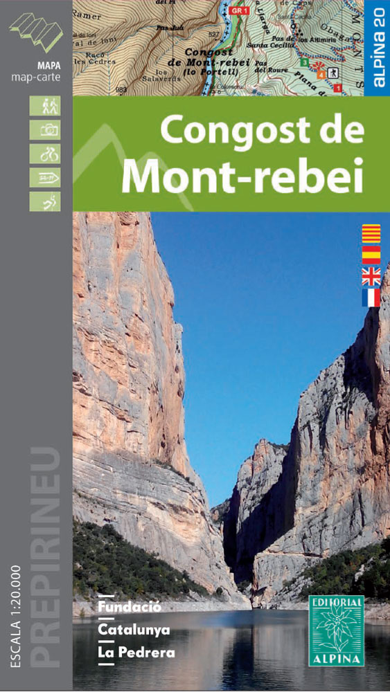
Congost de Mont-rebei in an extensive and very popular series of walking maps from Editorial Alpina covering the Pyrenees, Catalonia and other selected hiking areas in Spain, including Picos de Europa, Sierra Nevada and parts of Andalucรญa, Majorca, etc. Scales vary from 1:50,000 to 1:10,000, with the majority of the titles at 1:25,000. The maps
Macizo de Monte Perdido – Valle de Ordesa – Pineta Editorial Alpina
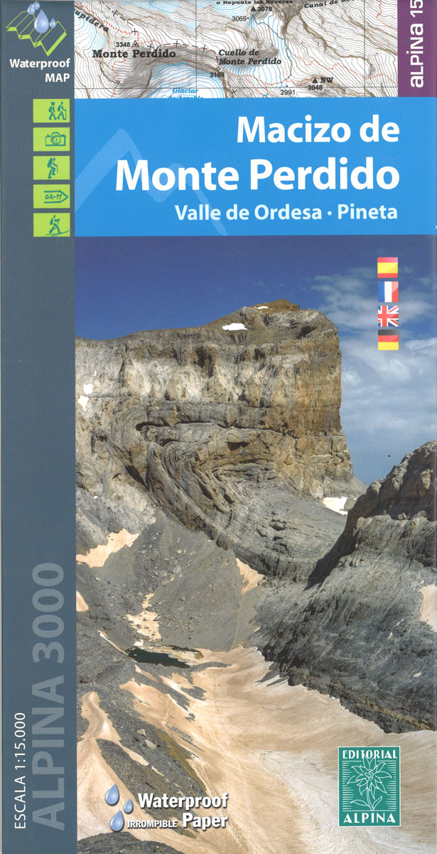
Ordesa and Monte Perdido National Park at 1:25,000 in a set of two GPS compatible recreational maps in an extensive and very popular series from Editorial Alpina, providing more detailed coverage of this popular hiking area.Contours are at 10m intervals, with relief shading and vegetation colouring. An overprint highlights waymarked PR hiking paths, the GR11,
Alta Garrotxa – Comanegra – Bassegoda – el Mont Editorial Alpina
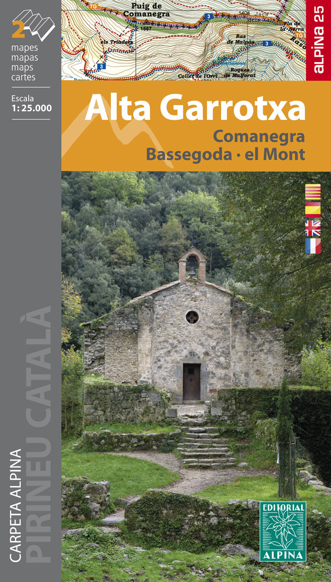
Alta Garrotxa area in the eastern part of the Spanish Pyrenees on a contoured and GPS compatible map at 1:25,000 from Editorial Alpina, highlighting local and long-distance hiking trails, accommodation facilities, etc.The map has contour lines at 10m intervals enhanced by relief shading, plus colouring to indicate different types of terrain or vegetation. An overprint
Rasos de Peguera – Serra d`Ensija Editorial Alpina
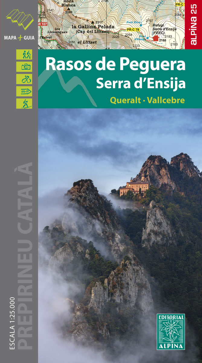
Rasos de Peguera – Serra d`Ensija in an extensive and very popular series of walking maps from Editorial Alpina covering the Pyrenees, Catalonia and other selected hiking areas in Spain, including Picos de Europa, Sierra Nevada and parts of Andalucรญa, Majorca, etc. Scales vary from 1:50,000 to 1:10,000, with the majority of the titles at
Picos de Europa National Park 2-Map Set Editorial Alpina

Picos de Europa at 1:25,000 on a set of two maps from Editorial Alpina printed on light, waterproof and tear-resistant synthetic paper. The maps have contours at 20m intervals enhanced by altitude colouring and relief shading, and provide plenty of names of topographic features. The maps show local country tracks and paths, indicating poorly defined
Puigmal – Vall de Nuria – Ulldeter Editorial Alpina

Puigmal – Vall de Nรบria – Ulldeter area of the Catalan Pyrenees presented by Editorial Alpina at 1:25,000 on a contoured and GPS compatible map with an overprint highlighting hiking trails, various recreational sites and accommodation options, etc, plus English language descriptions of recommended hiking routes, lists of caves and of useful contact details, etc.Topography
Travessa 3 Refugis – Caranรงร – Ulldeter – Coma de Vaca Editorial Alpina
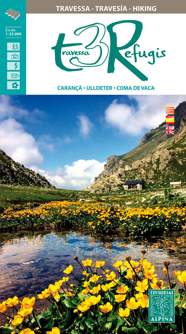
Traverssa 3 Refugis: Caranรงร – Ulldeter – Coma de Vaca map/guide from Editorial Alpina, covering a cross-border hiking route in the Pyrenees joining two mountain refuges in Spain (Ulldeter and Coma de Vaca) with a refuge in France (Ras de Caranรงร ) and the surrounding area.Contour lines at 20m intervals and colouring indicating different types of
Alt Empordรก 2-Map Set Editorial Alpina

Alta Empordรก administrative district on the Costa Brava at 1:50,000 in a set of two contoured and GPS compatible maps from Editorial Alpina highlighting local and long-distance waymarked hiking trails, different types of accommodation, etc. Coverage of the whole area is conveniently divided east-west; one map shows the coastal region from Banylus-sur-Mer in France across
3000 Ibones Route Editorial Alpina Trekking Map-Guide Set
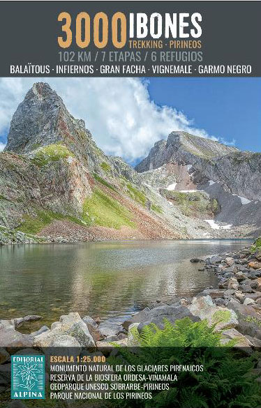
3000 Ibons102 km / +6,715 m / 7 stages / 6 sheltersCircular mountain trekking, organized by the Aragonese Pyrenees and the French Pyrenees.The route runs through the valleys of Tena, Ossau, Arrens, Marcadau and Gaube, through impressive landscapes, marked by rock and water. The glaciers, the start of the Ara river and the waterfalls of
l’Alta Garrotxa – les Salines and el Vallespir Editorial Alpina
Map/Folder Catalan / Spanish / French’: Hiking map and guidebook’: Equidistance contours: 20 m distance’: Master contours: at 50 m’: Shady relief’: Compatible with GPS’: Marked routes’: Land use symbolized at three levels


