Category Archives: Maps
Cerdanya – Alta Cerdanya – Capcir – Andorra Editorial Alpina
Cerdanya: Alta Cerdanya – Capcir – Andorra at 1;50,000 in an extensive and very popular series of walking maps from Editorial Alpina covering the Pyrenees, Catalonia and other selected hiking areas in Spain, including Picos de Europa, Sierra Nevada and parts of Andalucรญa, Majorca, etc. Scales vary from 1:50,000 to 1:10,000, with the majority of
Sobrarbe Central – Ainsa – Boltana Editorial Alpina
The central part of Aragรณn’s administrative region of Sobrarbe in the Spanish Pyrenees, around Boltaรฑa and Aรญnsa, on a contoured and GPS-compatible map at 1:40,000 from Editorial Alpina, highlighting local and long-distance hiking trails, cycle routes, sites for other recreational activities, etc.Coverage is centred on the towns of Boltaรฑa and Aรญnsa, extending north to include
Val d`Aran – Mauberme – Montardo – Molieres Editorial Alpina
Val d`Aran in an extensive and very popular series of walking maps from Editorial Alpina covering the Pyrenees, Catalonia and other selected hiking areas in Spain, including Picos de Europa, Sierra Nevada and parts of Andalucรญa, Majorca, etc. Scales vary from 1:50,000 to 1:10,000, with the majority of the titles at 1:25,000. The maps have
Vall de Siarb – Museu de Camins Editorial Alpina
Els Gegants de les 3 Nacions Editorial Alpina
Valle de Canfranc – Valle de Aisa – Candanchu – Astun Editorial Alpina
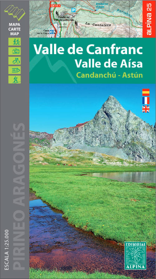
Valle de Canfranc – Valle de Aisa in an extensive and very popular series of walking maps from Editorial Alpina covering the Pyrenees, Catalonia and other selected hiking areas in Spain, including Picos de Europa, Sierra Nevada and parts of Andalucรญa, Majorca, etc. Scales vary from 1:50,000 to 1:10,000, with the majority of the titles
Montgarri E-Bike Area Editorial Alpina Cycle Map
Ordesa – Monte Perdido National Park Editorial Alpina 2-Map Set

Ordesa and Monte Perdido National Park at 1:25,000 in a set of two GPS compatible recreational maps in an extensive and very popular series from Editorial Alpina, providing more detailed coverage of this popular hiking area.Contours are at 10m intervals, with relief shading and vegetation colouring. An overprint highlights waymarked PR hiking paths, the GR11,
Vall de Nรบria ‘“ Ulldeter Editorial Alpina Winter Sport Map
Sierra Nevada – La Alpujarra Editorial Alpina

Spain’s Sierra Nevada on a contoured and GPS-compatible map at 1:40,000 from Editorial Alpina highlighting local and long-distance hiking routes, mountain refuges and other accommodation, etc. Accompanying bilingual booklet provides English language descriptions of several recommended walking trails and ascents, etc, plus an extensive list of various accommodation options.The map has contours at 20m intervals,
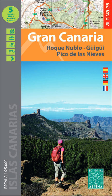
Gran Canaria Editorial Alpina 5-Map Set
Val d`Aran by UTMB Editorial Alpina Trail running race Map

Val d`Aran in an extensive and very popular series of walking maps from Editorial Alpina covering the Pyrenees, Catalonia and other selected hiking areas in Spain, including Picos de Europa, Sierra Nevada and parts of Andalucรญa, Majorca, etc. Scales vary from 1:50,000 to 1:10,000, with the majority of the titles at 1:25,000. The maps have
Montgrony – Fonts del Llogregat – Parc Natural del Cadรญ-Moixerรฒ Editorial Alpina
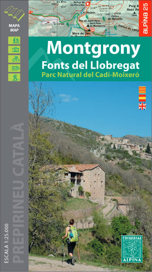
Montgrony in an extensive and very popular series of walking maps from Editorial Alpina covering the Pyrenees, Catalonia and other selected hiking areas in Spain, including Picos de Europa, Sierra Nevada and parts of Andalucรญa, Majorca, etc. Scales vary from 1:50,000 to 1:10,000, with the majority of the titles at 1:25,000. The maps have contours,
Ordesa and Monte Perdido National Park Editorial Alpina

Ordesa and Monte Perdido National Park at 1:40,000 on a GPS compatible recreational map in an extensive and very popular series from Editorial Alpina, including a booklet with English language descriptions of several walks, climbs, etc.Contours are at 20m intervals, with relief shading and altitude colouring. An overprint highlights waymarked PR hiking paths, the GR11,
Catllarร s – Picancel Editorial Alpina

Catllarร s Picancel in an extensive and very popular series of walking maps from Editorial Alpina covering the Pyrenees, Catalonia and other selected hiking areas in Spain, including Picos de Europa, Sierra Nevada and parts of Andalucรญa, Majorca, etc. Scales vary from 1:50,000 to 1:10,000, with the majority of the titles at 1:25,000. The maps have
Pica d`Estats – Mont-roig – Vall Ferrera – Valls de Cardos Editorial Alpina
Pica d`Estats – Mont-roig area of the Catalan Pyrenees just west of Andorra on a contoured and GPS-compatible map at 1:25,000 from Editorial Alpina, highlighting local and long-distance hiking trails, tourist accommodation, etc. Coverage extends from the Andorran border westwards beyond the peak of Mont-roig and from the French border south to Alins, and includes
Valles de Ansรณ & Echo Editorial Alpina

Valles de Ansรณ & Echo in an extensive and very popular series of walking maps from Editorial Alpina covering the Pyrenees, Catalonia and other selected hiking areas in Spain, including Picos de Europa, Sierra Nevada and parts of Andalucรญa, Majorca, etc. Scales vary from 1:50,000 to 1:10,000, with the majority of the titles at 1:25,000.
Collserola Parc Natural Editorial Alpina
Collserola Natural Park in an extensive and very popular series of walking maps from Editorial Alpina covering the Pyrenees, Catalonia and other selected hiking areas in Spain, including Picos de Europa, Sierra Nevada and parts of Andalucรญa, Majorca, etc. Scales vary from 1:50,000 to 1:10,000, with the majority of the titles at 1:25,000. The maps
La Alta Ruta de los Perdidos – Monte Perdido – Vignemale Editorial Alpina Hiking Circuit Map
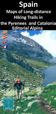
La alta ruta de Los Perdidos hiking route, a circuit around the highest part of the Pyrenees on both sides of the border using sections of the GR10 in France, GR11 in Spain and the HRP ‘“ the Pyrenees High Route, highlighted on an excellent, clear map at 1:30,000 from Editorial Alpina with mountain refuges,


