Category Archives: Maps
Picos de Europa National Park – Anillo de Picos Adrados Map
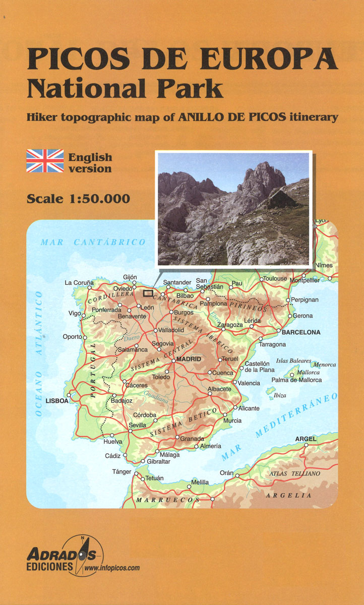
Picos de Europa National Park at 1:50,000 on an excellent, contoured and GPS compatible map from Adrados Ediciones highlighting three hiking routes which can be combined into a Tour of the Picos, plus English language descriptions of the routes and lists of mountain huts and refuges.The map covers the whole of the National Park area
Picos de Europa – Central and East Massifs: Los Urrieles and Andara Adrados Map PAPER
Paper edition of Picos de Europa Central and East: Massifs Los Urrieles and Andarra, a contoured and GPS compatible map at 1:25,000 from Adrados Ediciones with an exceptionally vivid presentation of the terrain, plus on the reverse a panorama drawing of the area, a list of summits and caves with GPS waypoints, etc.Contours at 10m
Picos de Europa Western Massif: El Cornion Adrados Map PAPER
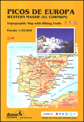
Paper edition of Picos de Europa West: El Cornion Massif, a contoured and GPS compatible map at 1:25,000 from Adrados Ediciones with an exceptionally vivid presentation of the terrain, plus on the reverse a panorama drawing of the area, a list of summits and caves with GPS waypoints, etc.Contours at 10m intervals, enhanced by bold
Montes de Malaga Map-Guide SPANISH
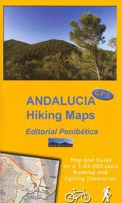
Montes de Mรกlaga Natural Park, just north of Mรกlaga itself, on a contoured, GPS compatible map at 1:25,000 from Editorial Penibetica, highlighting local hiking trails and cycling routes. Accompanying SPANISH language booklet provides descriptions of recommended walking trails and cycling routes, details of campsites and huts, etc. Contours are at 20m intervals enhanced by relief
Torcal de Antequera – Lagoons Fuente de Piedra, Campillos, Ratosa & Archidona Editorial Penibetica SPANISH

Torcal de Antequera and Lagunas Fuente de Piedra in central Andalucรญa near Antequera on a set of two separate, contoured, GPS compatible maps from Editorial Penibetica, highlighting local hiking trails. Accompanying SPANISH language booklet provides descriptions of recommended walking trails and details of campsites and huts, etc.A map at 1:30,000 is centred on the Laguna
Montes de Malaga Map-Guide ENGLISH
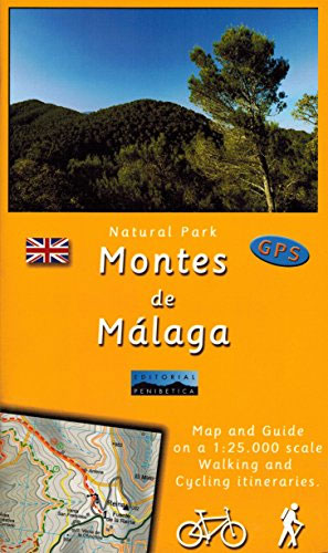
Montes de Mรกlaga Natural Park, just north of Mรกlaga itself, on a contoured, GPS compatible map at 1:25,000 from Editorial Penibetica, highlighting local hiking trails and cycling routes. Accompanying English language booklet provides descriptions of recommended walking trails and cycling routes, details of campsites and huts, etc. Contours are at 20m intervals enhanced by relief
Torcal de Antequera – Lagoons Fuente de Piedra, Campillos, Ratosa & Archidona Editorial Penibetica ENGLISH

Torcal de Antequera and Lagunas Fuente de Piedra in central Andalucรญa near Antequera on a set of two separate, contoured, GPS compatible maps from Editorial Penibetica, highlighting local hiking trails. Accompanying English language booklet provides descriptions of recommended walking trails and details of campsites and huts, etc.A map at 1:30,000 is centred on the Laguna
Figueres

Figueres on an indexed street plan at 1:6,000 from Telstar Distrimapas, Spain’s leading publisher of city maps, with English language descriptions of 11 main sights highlighted on the map. The street plan of the city indicates locations of car parks, taxi ranks, petrol stations, etc., with main public buildings and places interest clearly named. Insets
Aneto – Maladeta – PN Posets Editorial Alpina
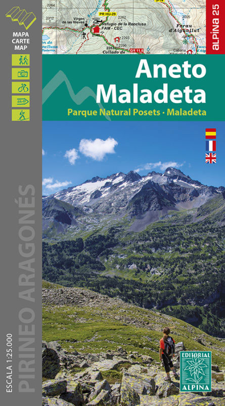
The highest part of the Spanish Pyrenees, the Maladeta massif with Pico de Aneto including the surrounding valleys of Benasque and Barraves, at 1:25,000 on a contoured and GPS compatible map from Editorial Alpina, accompanied by a booklet with English language descriptions of recommended walks and climbs, accommodation details, etc.Vivid presentation of the topography is
Pamplona/Iruรฑa

Pamplona/Iruรฑa on an indexed street plan at 1:9,200 from Telstar Distrimapas, Spain’s leading publisher of city maps, plus an indexed road map of the Navarra province with suggestions for five sightseeing routes.On one side is an indexed street plan of the city indicating locations of car parks, taxi ranks, petrol stations, etc., with main public
Vall de Camprodon – Vall de Ribes – Piugmal – Costabona – Taga Editorial Alpina
Palencia

Palencia on an indexed street plan at 1:6,200 from Telstar Distrimapas, Spain’s leading publisher of city maps, with on the reverse a road map of the Palencia province including descriptions of eight sightseeing routes.On one side is an indexed street plan of the city with main public buildings clearly named. Locations of 15 places of
Valle de Tena – Panticosa – Partacua – Sallent Editorial Alpina
Valle de Tena in the central part of the Spanish Pyrenees on a contoured and GPS compatible map at 1:25,000 from Editorial Alpina, with coverage including Panticosa, Sallent de Gรกllego, Sierra de Partacua, Sierra de Tendeรฑera, etc. Accompanying booklet includes contact details for campsites, refuges, etc.Topography is presented by contours at 10m intervals, vividly enhanced
The Trail of the Cathars GR107 Editorial Alpina 6-Map Set

6 maps at 1:50,000 of the Camรญ dels Bons Homes (GR 107), between Berga and Foix, suitable for both hiking and mountain bikingThe reverse of the maps contains details of each stage and useful suggestions to carry on this trans-Pyrenean crossing to this end in four languages (Catalan, Castellร , English and French).
Vignemale – Valle de Bujaruelo Editorial Alpina
Cross-border area of the Pyrenees at 1:25,000 on a contoured and GPS compatible map covering on the Spanish side the valleys of Bujaruelo and Ara with the western section of the Ordesa National Park and the Ordesa Valley, and within France extending from the Vignemale Massif to Gavarnie, plus a Spanish/French booklet with recommendations for
Cerdanya – Alta Cerdanya – Capcir – Andorra Editorial Alpina

Cerdanya: Alta Cerdanya – Capcir – Andorra at 1;50,000 in an extensive and very popular series of walking maps from Editorial Alpina covering the Pyrenees, Catalonia and other selected hiking areas in Spain, including Picos de Europa, Sierra Nevada and parts of Andalucรญa, Majorca, etc. Scales vary from 1:50,000 to 1:10,000, with the majority of
Sobrarbe Central – Ainsa – Boltana Editorial Alpina
The central part of Aragรณn’s administrative region of Sobrarbe in the Spanish Pyrenees, around Boltaรฑa and Aรญnsa, on a contoured and GPS-compatible map at 1:40,000 from Editorial Alpina, highlighting local and long-distance hiking trails, cycle routes, sites for other recreational activities, etc.Coverage is centred on the towns of Boltaรฑa and Aรญnsa, extending north to include
Val d`Aran – Mauberme – Montardo – Molieres Editorial Alpina
Val d`Aran in an extensive and very popular series of walking maps from Editorial Alpina covering the Pyrenees, Catalonia and other selected hiking areas in Spain, including Picos de Europa, Sierra Nevada and parts of Andalucรญa, Majorca, etc. Scales vary from 1:50,000 to 1:10,000, with the majority of the titles at 1:25,000. The maps have


