Category Archives: Maps
Valle de Ricote – Sierra de Ricote – Sierra del Oro
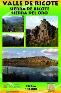
Valle de Ricote, Sierra de Ricote and Sierra del Oro north-west of Murcia on a contoured and GPS compatible map at 1:25,000 from Editorial Piolet. Coverage extends westwards from Archena, north to Abarรกn, and south to the RM-530 road.Topography is presented by contours at 10m intervals with plenty of additional spot heights. An overprint shows
The Route of the Thousand Kasbahs – Cultural Map of Southern Morocco
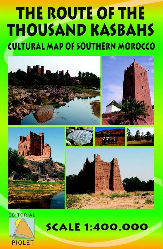
Route of the Thousand Kasbahs across the southern side of the High Atlas Mountains shown at 1:400,000 on a map from Editorial Piolet with very clear presentation of the area’s topography, plus descriptions of sites on the reverse.Satellite imagery enhanced by bold relief shading very effectively presents the topography, with additional graphics for dunes, seasonal
Sierra de Castril
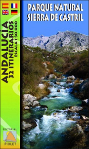
Sierra de Castril Natural Park in eastern Andalucรญa on a contoured and GPS compatible map at 1:30,000 from Editorial Piolet. Coverage extends from the southern part of the Sierra de Cazorla and Arroyo Frรญo in the north-western corner of the map to Castril in the south and the San Clemente Reservoir in the east.Topography is
Villafranca del Penedรจs and Environs (Camins de l`Alt Penedes)
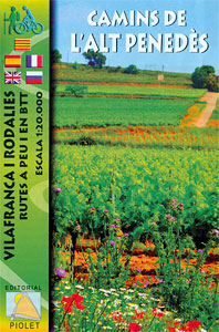
Villafranca del Penedรจs area west of Barcelona at 1:20,000 in a series of GPS compatible maps from Editorial Piolet with cartography based on Spain’s civilian topographic survey overprinted with hiking routes and other tourist information. Hiking maps in the Editorial Piolet series, unless indicated to the contrary in the individual description, have contours at 10m
Tarragona and Environs (Camins del Camp – Costa Nord)
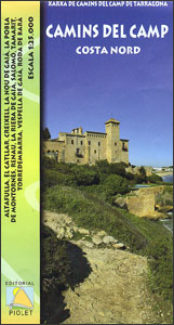
The coast of Costa Dorada from Tarragona eastwards to Creixell and its hinterland at 1:25,000 in a series of GPS compatible maps from Editorial Piolet with cartography based on Spain’s civilian topographic survey overprinted with hiking routes and other tourist information. In addition to the PR and GR hiking routes, the map highlights several other
Chefchaouen – Chauen

Chefchaouen (Chauen) region of northern Morocco, south-east of Tangier and Tetouan, at 1:75,000 on a contoured and GPS compatible map from Editorial Piolet, highlighting recommended hiking trails, various tourist facilities and places of interest, etc. Topography is vividly presented by contours at 20m intervals, enhanced by relief shading and altitude colouring. The map shows local
Serra d`Irta Natural Park – Columbretes Islands
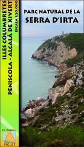
Serra d`Irta Natural Park and the Columbretes Islands on the Mediterranean coast of Spain north of Castellรณ de la Plana on a contoured and GPS compatible map at 1:20,000 from Editorial Piolet. Coverage of the mainland extends along the coast from Alcosserbe in the south to beyond Penรญscola, and inland across the Serra d’ Irta
Fuentes Carrionas Massif Adrados Map PAPER
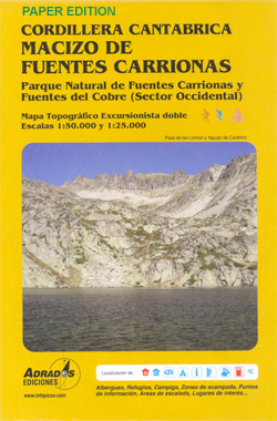
Fuentes Carrionas Massif, just south of the Picos de Europa, on a detailed hiking map from Adrados Ediciones combining coverage at 1:50,000 of the western part of Fuentes Carrionas and Fuentes del Cobre Natural Park with more detailed mapping at 1:25,000 of Peรฑa Prieta Massif.The main map at 1:50,000 has contours at 20m intervals with
Picos de Europa National Park – Anillo de Picos Adrados Map
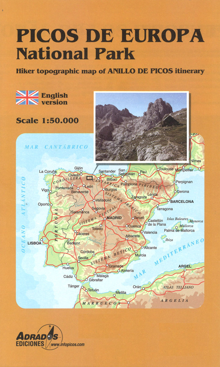
Picos de Europa National Park at 1:50,000 on an excellent, contoured and GPS compatible map from Adrados Ediciones highlighting three hiking routes which can be combined into a Tour of the Picos, plus English language descriptions of the routes and lists of mountain huts and refuges.The map covers the whole of the National Park area
Picos de Europa – Central and East Massifs: Los Urrieles and Andara Adrados Map PAPER
Paper edition of Picos de Europa Central and East: Massifs Los Urrieles and Andarra, a contoured and GPS compatible map at 1:25,000 from Adrados Ediciones with an exceptionally vivid presentation of the terrain, plus on the reverse a panorama drawing of the area, a list of summits and caves with GPS waypoints, etc.Contours at 10m
Picos de Europa Western Massif: El Cornion Adrados Map PAPER
Paper edition of Picos de Europa West: El Cornion Massif, a contoured and GPS compatible map at 1:25,000 from Adrados Ediciones with an exceptionally vivid presentation of the terrain, plus on the reverse a panorama drawing of the area, a list of summits and caves with GPS waypoints, etc.Contours at 10m intervals, enhanced by bold
Montes de Malaga Map-Guide SPANISH
Montes de Mรกlaga Natural Park, just north of Mรกlaga itself, on a contoured, GPS compatible map at 1:25,000 from Editorial Penibetica, highlighting local hiking trails and cycling routes. Accompanying SPANISH language booklet provides descriptions of recommended walking trails and cycling routes, details of campsites and huts, etc. Contours are at 20m intervals enhanced by relief
Torcal de Antequera – Lagoons Fuente de Piedra, Campillos, Ratosa & Archidona Editorial Penibetica SPANISH

Torcal de Antequera and Lagunas Fuente de Piedra in central Andalucรญa near Antequera on a set of two separate, contoured, GPS compatible maps from Editorial Penibetica, highlighting local hiking trails. Accompanying SPANISH language booklet provides descriptions of recommended walking trails and details of campsites and huts, etc.A map at 1:30,000 is centred on the Laguna
Montes de Malaga Map-Guide ENGLISH
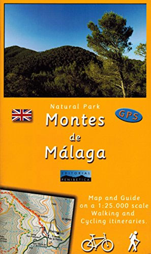
Montes de Mรกlaga Natural Park, just north of Mรกlaga itself, on a contoured, GPS compatible map at 1:25,000 from Editorial Penibetica, highlighting local hiking trails and cycling routes. Accompanying English language booklet provides descriptions of recommended walking trails and cycling routes, details of campsites and huts, etc. Contours are at 20m intervals enhanced by relief
Torcal de Antequera – Lagoons Fuente de Piedra, Campillos, Ratosa & Archidona Editorial Penibetica ENGLISH

Torcal de Antequera and Lagunas Fuente de Piedra in central Andalucรญa near Antequera on a set of two separate, contoured, GPS compatible maps from Editorial Penibetica, highlighting local hiking trails. Accompanying English language booklet provides descriptions of recommended walking trails and details of campsites and huts, etc.A map at 1:30,000 is centred on the Laguna
Figueres

Figueres on an indexed street plan at 1:6,000 from Telstar Distrimapas, Spain’s leading publisher of city maps, with English language descriptions of 11 main sights highlighted on the map. The street plan of the city indicates locations of car parks, taxi ranks, petrol stations, etc., with main public buildings and places interest clearly named. Insets
Mallorca – Pollenca – Port de Pollenca – Alcudia – Port d`Alcudia – Can Picafort
Street plans of the resorts of the southern coast of Mallorca: Ca’n Pastilla, El Arenal, plus Ses Fontanelles, Sometimes and Les Meravelles along the Playa de Palma, with street indexes and lists of accommodation, plus on the reverse a map of the whole island.On one side are street plans of Ca’n Pastilla, El Arenal, plus
Toubkal Hiking Map & Marrakech Street Plan
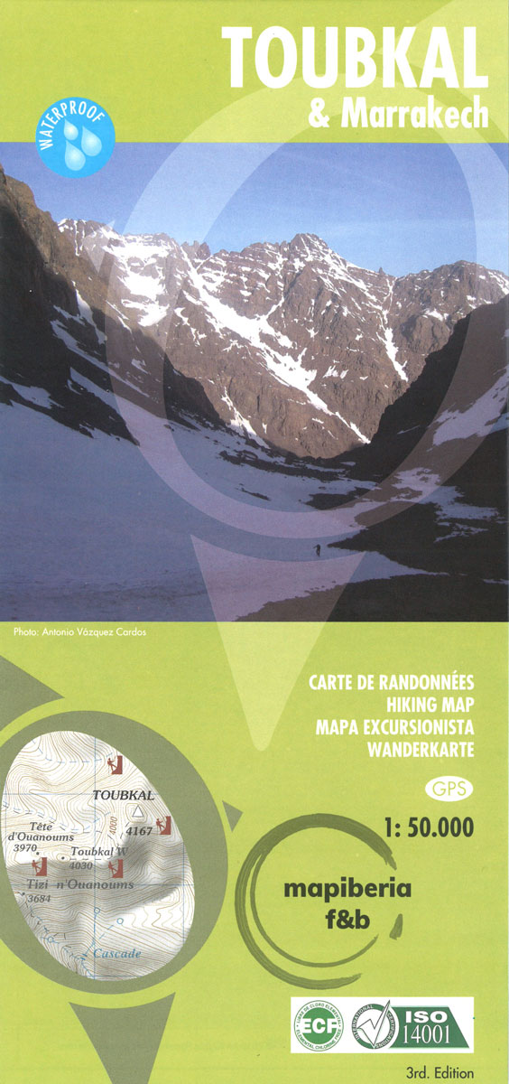
Jbel Toubkal and the surrounding area on a hiking map at 1:50,000, with on the reverse a detailed street plan of central Marrakesh, including its Medina, printed on light, waterproof and treat-resistant synthetic paper.On one side is a detailed topographic map at 1:50,000 centred on the village of Imelil, about 8km north of Toubkal, covering
Urbion – Viniegras and Sierra de Castejon
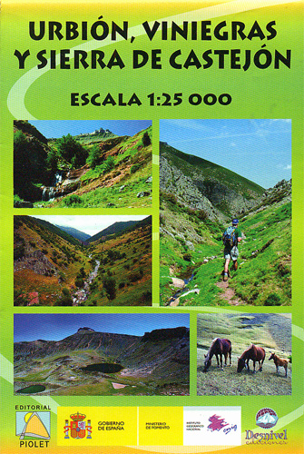
Urbiรณn, Viniegras and Sierra de Castejรณn area at 1:25,000 in a series of GPS compatible maps from Editorial Piolet with cartography based on Spain’s civilian topographic survey overprinted with hiking routes and other tourist information. The overprint highlights 10 recommended hiking and/or mountain bike circuits. The map extends further north the coverage provided by the


