Category Archives: Maps
Sierra Norte de Madrid
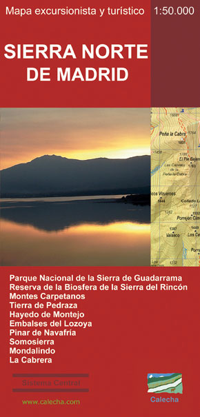
This Calecha topographic map with hypsometric inks and relief shading of Sierra Norte de Madrid at 1:50,000 scale, includes information on roads, forest tracks, roads and trails. Also included are fountains, waterfalls, centenary trees and other useful items for the visitor, such as the type of accommodation existing in different locations, interpretation centers or museums,
Montalban CNIG Topo 493
Topographic coverage of mainland Spain at 1:50,000 in the MTN50 (Mapa Topogrรกfico Nacional) series from the Centro Nacional de Informaciรณn Geografica, the country’s civilian survey organization. The maps have contours at 20m intervals, enhanced by relief shading, plus colouring and/or graphics to show different types of terrain, vegetation or land use. Boundaries of national parks
The Valleys of Marina Alta: Gallinera, Alcalร , Ebo
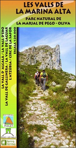
Three valleys ‘“ Gallinera, Alcalร and Ebo ‘“ with the surrounding sierras in the hinterland of the northern Costa Blanca on a contoured and GPS compatible map at 1:20,000 from Editorial Piolet, with on the reverse detail and route profiles of 21 recommended walks. Centered on Benissivร and Benirrama, coverage extends north across Serra de
La Alpujarra and La Costa Editorial Penibetica
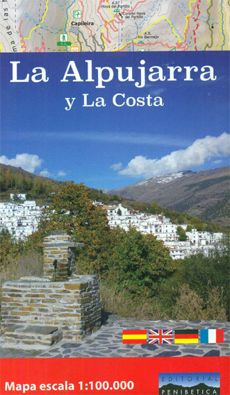
The Alpujarra region of Andalucรญa on an indexed, contoured map at 1:100,000 from Editorial Penibetica, extending from the coast between Motril and Roquetas de Mar across southern slopes of the Sierra Nevada to its peaks including Mulhacรฉn. On the reverse are multilingual descriptions and photos of various places of interest.Coverage extends along the coast from
Utrillas CNIG Topo 518
Topographic coverage of mainland Spain at 1:50,000 in the MTN50 (Mapa Topogrรกfico Nacional) series from the Centro Nacional de Informaciรณn Geografica, the country’s civilian survey organization. The maps have contours at 20m intervals, enhanced by relief shading, plus colouring and/or graphics to show different types of terrain, vegetation or land use. Boundaries of national parks
Sierra Nevada – the Alpujarra – Marquesado del Zenete Editorial Penibetica Map and Guide
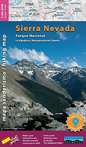
Sierra Nevada in Spain on a contoured, GPS compatible map at 1:40,000 from Editorial Penibetica, double-sided to provide coverage of its main trekking area on one map. Accompanying English language booklet provides descriptions of over 40 walks, details of campsites and huts, etc.The map covers Alpujarras and Marquesado del Zenete, the western and central parts
Valle de Ricote – Sierra de Ricote – Sierra del Oro
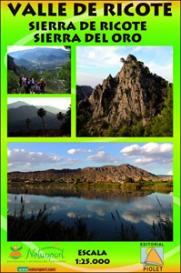
Valle de Ricote, Sierra de Ricote and Sierra del Oro north-west of Murcia on a contoured and GPS compatible map at 1:25,000 from Editorial Piolet. Coverage extends westwards from Archena, north to Abarรกn, and south to the RM-530 road.Topography is presented by contours at 10m intervals with plenty of additional spot heights. An overprint shows
The Route of the Thousand Kasbahs – Cultural Map of Southern Morocco
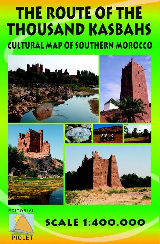
Route of the Thousand Kasbahs across the southern side of the High Atlas Mountains shown at 1:400,000 on a map from Editorial Piolet with very clear presentation of the area’s topography, plus descriptions of sites on the reverse.Satellite imagery enhanced by bold relief shading very effectively presents the topography, with additional graphics for dunes, seasonal
Sierra de Castril
Sierra de Castril Natural Park in eastern Andalucรญa on a contoured and GPS compatible map at 1:30,000 from Editorial Piolet. Coverage extends from the southern part of the Sierra de Cazorla and Arroyo Frรญo in the north-western corner of the map to Castril in the south and the San Clemente Reservoir in the east.Topography is
Villafranca del Penedรจs and Environs (Camins de l`Alt Penedes)
Villafranca del Penedรจs area west of Barcelona at 1:20,000 in a series of GPS compatible maps from Editorial Piolet with cartography based on Spain’s civilian topographic survey overprinted with hiking routes and other tourist information. Hiking maps in the Editorial Piolet series, unless indicated to the contrary in the individual description, have contours at 10m
Tarragona and Environs (Camins del Camp – Costa Nord)
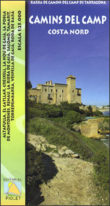
The coast of Costa Dorada from Tarragona eastwards to Creixell and its hinterland at 1:25,000 in a series of GPS compatible maps from Editorial Piolet with cartography based on Spain’s civilian topographic survey overprinted with hiking routes and other tourist information. In addition to the PR and GR hiking routes, the map highlights several other
Chefchaouen – Chauen

Chefchaouen (Chauen) region of northern Morocco, south-east of Tangier and Tetouan, at 1:75,000 on a contoured and GPS compatible map from Editorial Piolet, highlighting recommended hiking trails, various tourist facilities and places of interest, etc. Topography is vividly presented by contours at 20m intervals, enhanced by relief shading and altitude colouring. The map shows local
Serra d`Irta Natural Park – Columbretes Islands
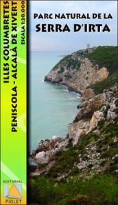
Serra d`Irta Natural Park and the Columbretes Islands on the Mediterranean coast of Spain north of Castellรณ de la Plana on a contoured and GPS compatible map at 1:20,000 from Editorial Piolet. Coverage of the mainland extends along the coast from Alcosserbe in the south to beyond Penรญscola, and inland across the Serra d’ Irta
Sierra Crestellina – Sierra de la Utrera Birding Map
Sierra Crestellina – Sierra de la Utrera on a detailed map at 1:12,500 from BioGea Ediciones with hiking trails, birdwatching sites, plus extensive information about local birds.Sierra Crestellina and Sierra de la Utrera are presented separately, each shown on one side of the map on an aerial photo overprinted with recommended hiking trails and birdwatching
Jane Austen Map of London

A journey into the heart of early 19th Century London through Jane Austen’s prose and places.This map comes folded in an A4 presentation sleeve.On the first side is a replica 1806 map featuring 48 marked locations from the pages of Jane Austen’s novels.On the second is a meticulous selection of texts and illustrations from Sense
Posets and la Maladeta Massifs Adrados Map
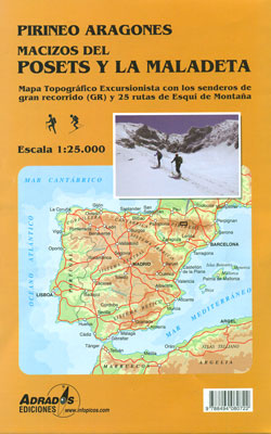
Posets and Maladeta Massifs in the central part of the Spanish Pyrenees on a double-sided, contoured and GPS compatible map at 1:25,000 from Adrados Ediciones, with vivid presentation of the topography, hiking or ski trails, campsites and refuges, etc. Coverage extends from Plan and the Zinqueta River west of the Poset massif, across the Benasque
Sherlock Holmes Map of London

A journey into the heart of Victorian London through words and places of literature’s most famous detective.On one side there is an 1891 replica map of central London with colour coded markers showing important places in the novels; A Study in Scarlet, The Sign of Four, The Hound of the Baskervilles and The Valley of


