Category Archives: Maps
Caรฑรณn del Rรญo Lobos Natural Park
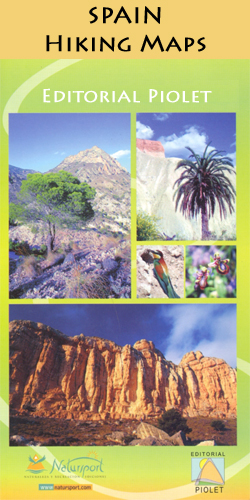
Caรฑรณn del Rรญo Lobos Natural Park at 1:25,000 in a series of GPS compatible maps from Editorial Piolet with cartography based on Spain’s civilian topographic survey overprinted with hiking routes and other tourist information. Hiking maps in the Editorial Piolet series, unless indicated to the contrary in the individual description, have contours at 10m intervals,
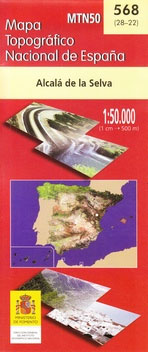
Alfambra CNIG Topo 542
Topographic coverage of mainland Spain at 1:50,000 in the MTN50 (Mapa Topogrรกfico Nacional) series from the Centro Nacional de Informaciรณn Geografica, the country’s civilian survey organization. The maps have contours at 20m intervals, enhanced by relief shading, plus colouring and/or graphics to show different types of terrain, vegetation or land use. Boundaries of national parks
El Moianรจs

El Moianรจs at 1:30,000 in a series of GPS compatible maps from Editorial Piolet with cartography based on Spain’s civilian topographic survey overprinted with hiking routes and other tourist information. The map includes lists with contact numbers for local accommodation, restaurants, recreational centres and museums.Hiking maps in the Editorial Piolet series, unless indicated to the
Villarluengo CNIG Topo 543
Topographic coverage of mainland Spain at 1:50,000 in the MTN50 (Mapa Topogrรกfico Nacional) series from the Centro Nacional de Informaciรณn Geografica, the country’s civilian survey organization. The maps have contours at 20m intervals, enhanced by relief shading, plus colouring and/or graphics to show different types of terrain, vegetation or land use. Boundaries of national parks
L`Ardenya – Massis de Cadiretes

L`Ardenya – Massis de Cadiretes area at 1:25,000 in a series of GPS compatible maps from Editorial Piolet with cartography based on Spain’s civilian topographic survey overprinted with hiking routes and other tourist information. The map covers the hinterland beyond the Costa Brava resorts of Platja d’Aro, Sant Feliu de Guรญxols, Caynet de Mar, Tossa
El Ports: Southern Stars Long-distance Hiking Route

The Southern Stars Long-distance Hiking Route in the El Ports area at 1:25,000 in a series of GPS compatible maps from Editorial Piolet with cartography based on Spain’s civilian topographic survey overprinted with hiking routes and other tourist information. The map is double-sided map and shows a 100-km long circular Southern Stars route from Beceite/Beseit.Hiking
Teba CNIG Topo 1037
Topographic coverage of mainland Spain at 1:50,000 in the MTN50 (Mapa Topogrรกfico Nacional) series from the Centro Nacional de Informaciรณn Geografica, the country’s civilian survey organization. The maps have contours at 20m intervals, enhanced by relief shading, plus colouring and/or graphics to show different types of terrain, vegetation or land use. Boundaries of national parks
Montsec de L`Estall

Montsec de L`Estall area at 1:25,000 in a series of GPS compatible maps from Editorial Piolet with cartography based on Spain’s civilian topographic survey overprinted with hiking routes and other tourist information. Multilingual notes include brief English language descriptions of 17 local hiking routes.Hiking maps in the Editorial Piolet series, unless indicated to the contrary
Serra de Bernia – Marina Alta Editorial Piolet
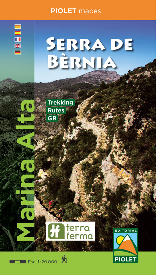
Marina Alta: Serra de Bernia area at 1:20,000 in a series of GPS compatible maps from Editorial Piolet with cartography based on Spain’s civilian topographic survey overprinted with hiking routes and other tourist information. Road network indicates locations of petrol stations. Local villages are annotated to show what facilities can be found there, including accommodation,
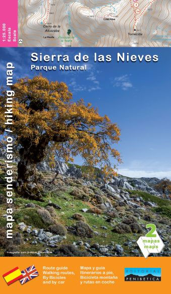
Sierra de las Nieves Natural Park Editorial Penibetica Maps and Guide
Sierra de Huetor Natural Park Editorial Penibetica SPANISH
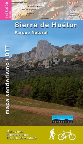
Sierra de Huรฉtor Natural Park just north east of Granada on a contoured, GPS compatible map at 1:30,000 from Editorial Penibetica, highlighting local hiking trails and cycling routes. Accompanying SPANISH language booklet provides descriptions of recommended walking trails.The map has contours are at 20m intervals enhanced by relief shading. The overprint highlights hiking trails and
Sierra de Grazalema Editorial Penibetica
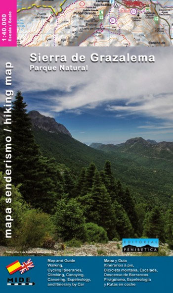
Sierra de Grazalema on a double-sided, contoured and GPS compatible map at 1:40,000 from Editorial Penibetica, highlighting local hiking trails and cycling routes.Contours are at 20m intervals enhanced by relief shading. The overprint highlights hiking trails and cycling routes, with numbers cross-referencing them to descriptions in the guide. Also marked are various places of interest
Azuara CNIG Topo 439
Topographic coverage of mainland Spain at 1:50,000 in the MTN50 (Mapa Topogrรกfico Nacional) series from the Centro Nacional de Informaciรณn Geografica, the country’s civilian survey organization. The maps have contours at 20m intervals, enhanced by relief shading, plus colouring and/or graphics to show different types of terrain, vegetation or land use. Boundaries of national parks
Matalascaรฑas Norte CNIG Topo 1017
Topographic coverage of mainland Spain at 1:50,000 in the MTN50 (Mapa Topogrรกfico Nacional) series from the Centro Nacional de Informaciรณn Geografica, the country’s civilian survey organization. The maps have contours at 20m intervals, enhanced by relief shading, plus colouring and/or graphics to show different types of terrain, vegetation or land use. Boundaries of national parks
Sierra Norte de Madrid
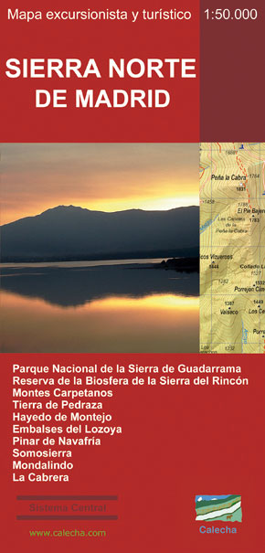
This Calecha topographic map with hypsometric inks and relief shading of Sierra Norte de Madrid at 1:50,000 scale, includes information on roads, forest tracks, roads and trails. Also included are fountains, waterfalls, centenary trees and other useful items for the visitor, such as the type of accommodation existing in different locations, interpretation centers or museums,
Montalban CNIG Topo 493
Topographic coverage of mainland Spain at 1:50,000 in the MTN50 (Mapa Topogrรกfico Nacional) series from the Centro Nacional de Informaciรณn Geografica, the country’s civilian survey organization. The maps have contours at 20m intervals, enhanced by relief shading, plus colouring and/or graphics to show different types of terrain, vegetation or land use. Boundaries of national parks


