Category Archives: Maps
Guntin CNIG Topo 97
Topographic coverage of mainland Spain at 1:50,000 in the MTN50 (Mapa Topogrรกfico Nacional) series from the Centro Nacional de Informaciรณn Geografica, the country’s civilian survey organization. The maps have contours at 20m intervals, enhanced by relief shading, plus colouring and/or graphics to show different types of terrain, vegetation or land use. Boundaries of national parks
Ceullar CNIG Topo 401
Topographic coverage of mainland Spain at 1:50,000 in the MTN50 (Mapa Topogrรกfico Nacional) series from the Centro Nacional de Informaciรณn Geografica, the country’s civilian survey organization. The maps have contours at 20m intervals, enhanced by relief shading, plus colouring and/or graphics to show different types of terrain, vegetation or land use. Boundaries of national parks
Portomarin CNIG Topo 123
Topographic coverage of mainland Spain at 1:50,000 in the MTN50 (Mapa Topogrรกfico Nacional) series from the Centro Nacional de Informaciรณn Geografica, the country’s civilian survey organization. The maps have contours at 20m intervals, enhanced by relief shading, plus colouring and/or graphics to show different types of terrain, vegetation or land use. Boundaries of national parks
Marina Baixa – Serra d`Aitana Editorial Piolet
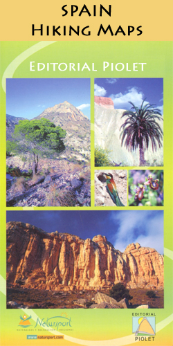
Marina Baixa: Serra d`Aitana area at 1:20,000 in a series of GPS compatible maps from Editorial Piolet with cartography based on Spain’s civilian topographic survey overprinted with hiking routes and other tourist information. Road network indicates locations of petrol stations. Local villages are annotated to show what facilities can be found there, including accommodation, restaurants,
Calblanque, Monte de las Cenizas and Peรฑa del Aguila Regional Park

Calblanque, Monte de las Cenizas and Peรฑa del Aguila Regional Park south of Mar Menor at 1:20,000 in a series of GPS compatible maps from Editorial Piolet with cartography based on Spain’s civilian topographic survey overprinted with hiking routes and other tourist information. The overprint also shows mountain bike routes. Road network indicates locations of
Serra de Miramar
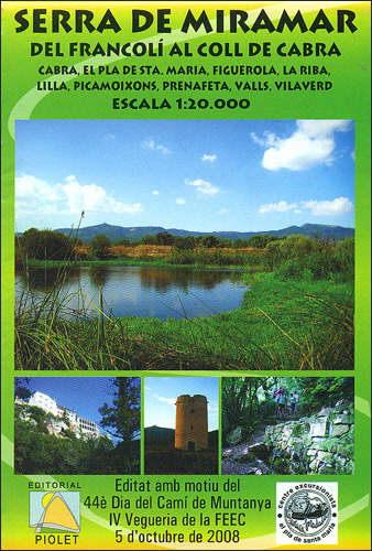
Serra de Miramar area at 1:20,000 in a series of GPS compatible maps from Editorial Piolet with cartography based on Spain’s civilian topographic survey overprinted with hiking routes and other tourist information. Hiking maps in the Editorial Piolet series, unless indicated to the contrary in the individual description, have contours at 10m intervals, enhanced by
The Route of the Thousand Kasbahs SPANISH

Route of the Thousand Kasbahs across the southern side of the High Atlas Mountains shown at 1:400,000 on a map from Editorial Piolet with very clear presentation of the area’s topography, plus descriptions of sites on the reverse.Satellite imagery enhanced by bold relief shading very effectively presents the topography, with additional graphics for dunes, seasonal
The Route of the Thousand Kasbahs FRENCH
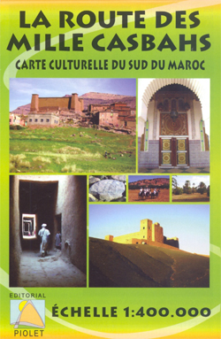
Route of the Thousand Kasbahs across the southern side of the High Atlas Mountains shown at 1:400,000 on a map from Editorial Piolet with very clear presentation of the area’s topography, plus descriptions of sites on the reverse.Satellite imagery enhanced by bold relief shading very effectively presents the topography, with additional graphics for dunes, seasonal
Muntanyes de Prades Sud: Walks from l`Albiol

Muntanyes de Prades Sud: Walks from l`Albiol at 1:15,000 in a series of GPS compatible maps from Editorial Piolet with cartography based on Spain’s civilian topographic survey overprinted with hiking routes and other tourist information. The overprint also indicates several climbing areas. On the reverse are recommendations for local excursion with the text in Catalan
Val de Toran
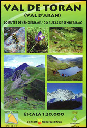
Val de Toran in the northern part of Val d’Aran at 1:20,000 in a series of GPS compatible maps from Editorial Piolet with cartography based on Spain’s civilian topographic survey overprinted with hiking routes and other tourist information. The map has contours at 10m intervals enhanced by bold relief shading. Colouring for the recommended trails
Sierra de la Pila Regional Park

Sierra de la Pila Regional Park at 1:20,000 in a series of GPS compatible maps from Editorial Piolet with cartography based on Spain’s civilian topographic survey overprinted with hiking routes and other tourist information. Colouring indicates different conservation zones within the Regional Park. Road network shows locations of petrol stations. Additional text with suggestions for
Muntanyes de Vandellรฒs

Muntanyes de Vandellรฒs area at 1:20,000 in a series of GPS compatible maps from Editorial Piolet with cartography based on Spain’s civilian topographic survey overprinted with hiking routes and other tourist information. An enlargement at 1:10,000 shows in greater detail the Via Ferrata routes of Serres del Mestral, Morral de l’Aigualcoll and l’Agulla de Aigualcoll.Hiking
Lugo CNIG Topo 72
Topographic coverage of mainland Spain at 1:50,000 in the MTN50 (Mapa Topogrรกfico Nacional) series from the Centro Nacional de Informaciรณn Geografica, the country’s civilian survey organization. The maps have contours at 20m intervals, enhanced by relief shading, plus colouring and/or graphics to show different types of terrain, vegetation or land use. Boundaries of national parks


