Category Archives: Maps
Yecla CNIG Topo 845
Topographic coverage of mainland Spain at 1:50,000 in the MTN50 (Mapa Topogrรกfico Nacional) series from the Centro Nacional de Informaciรณn Geografica, the country’s civilian survey organization. The maps have contours at 20m intervals, enhanced by relief shading, plus colouring and/or graphics to show different types of terrain, vegetation or land use. Boundaries of national parks
Cilleruelo de Abajo CNIG Topo 314
Topographic coverage of mainland Spain at 1:50,000 in the MTN50 (Mapa Topogrรกfico Nacional) series from the Centro Nacional de Informaciรณn Geografica, the country’s civilian survey organization. The maps have contours at 20m intervals, enhanced by relief shading, plus colouring and/or graphics to show different types of terrain, vegetation or land use. Boundaries of national parks
Jumilla CNIG Topo 869
Topographic coverage of mainland Spain at 1:50,000 in the MTN50 (Mapa Topogrรกfico Nacional) series from the Centro Nacional de Informaciรณn Geografica, the country’s civilian survey organization. The maps have contours at 20m intervals, enhanced by relief shading, plus colouring and/or graphics to show different types of terrain, vegetation or land use. Boundaries of national parks
Roa CNIG Topo 345
Topographic coverage of mainland Spain at 1:50,000 in the MTN50 (Mapa Topogrรกfico Nacional) series from the Centro Nacional de Informaciรณn Geografica, the country’s civilian survey organization. The maps have contours at 20m intervals, enhanced by relief shading, plus colouring and/or graphics to show different types of terrain, vegetation or land use. Boundaries of national parks
Pinoso CNIG Topo 870
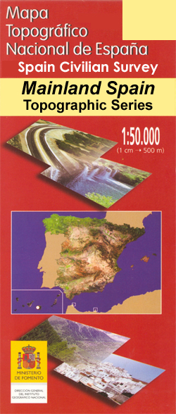
Topographic coverage of mainland Spain at 1:50,000 in the MTN50 (Mapa Topogrรกfico Nacional) series from the Centro Nacional de Informaciรณn Geografica, the country’s civilian survey organization. The maps have contours at 20m intervals, enhanced by relief shading, plus colouring and/or graphics to show different types of terrain, vegetation or land use. Boundaries of national parks
Sierra de Espuรฑa Natural Park CNIG Map
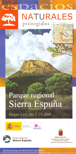
Sierra de Espuรฑa Natural Park, a popular hiking area south-west of Murcia, on a contoured and GPS compatible map at 1:25,000 from IGN/CNIG using cartography of their civilian topographic survey of Spain. Contours are 10m intervals, enhanced by relief shading and graphics to show different types of vegetation. An overprint highlights local waymarked hiking paths;
Oviedo CNIG Topo 29
Topographic coverage of mainland Spain at 1:50,000 in the MTN50 (Mapa Topogrรกfico Nacional) series from the Centro Nacional de Informaciรณn Geografica, the country’s civilian survey organization. The maps have contours at 20m intervals, enhanced by relief shading, plus colouring and/or graphics to show different types of terrain, vegetation or land use. Boundaries of national parks
Nanclares de la Oca / Langraiz Oka CNIG Topo 138
Topographic coverage of mainland Spain at 1:50,000 in the MTN50 (Mapa Topogrรกfico Nacional) series from the Centro Nacional de Informaciรณn Geografica, the country’s civilian survey organization. The maps have contours at 20m intervals, enhanced by relief shading, plus colouring and/or graphics to show different types of terrain, vegetation or land use. Boundaries of national parks
Cangas de Narcea CNIG Topo 50
Topographic coverage of mainland Spain at 1:50,000 in the MTN50 (Mapa Topogrรกfico Nacional) series from the Centro Nacional de Informaciรณn Geografica, the country’s civilian survey organization. The maps have contours at 20m intervals, enhanced by relief shading, plus colouring and/or graphics to show different types of terrain, vegetation or land use. Boundaries of national parks
Belleรฑo CNIG Topo 55
Topographic coverage of mainland Spain at 1:50,000 in the MTN50 (Mapa Topogrรกfico Nacional) series from the Centro Nacional de Informaciรณn Geografica, the country’s civilian survey organization. The maps have contours at 20m intervals, enhanced by relief shading, plus colouring and/or graphics to show different types of terrain, vegetation or land use. Boundaries of national parks
Carreรฑa CNIG Topo 56
Topographic coverage of mainland Spain at 1:50,000 in the MTN50 (Mapa Topogrรกfico Nacional) series from the Centro Nacional de Informaciรณn Geografica, the country’s civilian survey organization. The maps have contours at 20m intervals, enhanced by relief shading, plus colouring and/or graphics to show different types of terrain, vegetation or land use. Boundaries of national parks
Arcos de Jalon CNIG Topo 435
Topographic coverage of mainland Spain at 1:50,000 in the MTN50 (Mapa Topogrรกfico Nacional) series from the Centro Nacional de Informaciรณn Geografica, the country’s civilian survey organization. The maps have contours at 20m intervals, enhanced by relief shading, plus colouring and/or graphics to show different types of terrain, vegetation or land use. Boundaries of national parks
Valladolid CNIG Topo 372
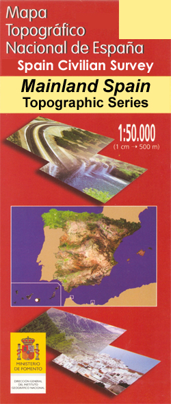
Topographic coverage of mainland Spain at 1:50,000 in the MTN50 (Mapa Topogrรกfico Nacional) series from the Centro Nacional de Informaciรณn Geografica, the country’s civilian survey organization. The maps have contours at 20m intervals, enhanced by relief shading, plus colouring and/or graphics to show different types of terrain, vegetation or land use. Boundaries of national parks
Quintanilla de Onesimo CNIG Topo 373
Topographic coverage of mainland Spain at 1:50,000 in the MTN50 (Mapa Topogrรกfico Nacional) series from the Centro Nacional de Informaciรณn Geografica, the country’s civilian survey organization. The maps have contours at 20m intervals, enhanced by relief shading, plus colouring and/or graphics to show different types of terrain, vegetation or land use. Boundaries of national parks


