Category Archives: Maps
World Maps International Political Wall Map LARGE PIN-BOARD FRAMED with flags

Framed, 136 x 100cm (4ft 5’’ x 3ft 4’’ approx.) version of the large political map of the world from Maps International mounted on *pin board*. Countries are shown in bright vivid colours against light blue oceans. Country names are in large, clearly legible print. English versions of all city names are used throughout. Within
World NGS Classic Wall Map STANDARD SIZE, PIN BOARD, FRAMED
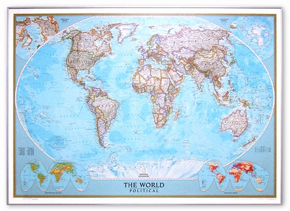
NGS Classic political map of the world, standard version mounted on pin board and with high quality aluminium frame ‘“ size 112.5 x 79cm (3ft 9″ x 2ft 7″ approx), with the publishers’ characteristic lay-out providing an attractive alternative to the more conventional world maps, countries in white but defined by different colour borders, oceans
World Maps International Political Wall Map LARGE MAGNETIC-BOARD FRAMED with flags

Framed, 136 x 100cm (4ft 5’’ x 3ft 4’’ approx.) version of the large political map of the world from Maps International mounted on *magnetic board* to which magnetic makers can be attached. Countries are shown in bright vivid colours against light blue oceans. Country names are in large, clearly legible print. English versions of
NGS Classic Political World Wall Map ENLARGED, PIN BOARD, FRAMED
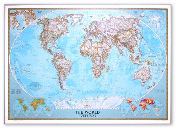
NGS Classic political map of the world, enlarged size mounted on pin board and framed with a high quality aluminium frame ‘“ size 180 x 125cm (5ft 10″ x 4ft 1″ approx.), with the publishers’ characteristic lay-out providing an attractive alternative to the more conventional world maps, countries in white but defined by different colour
World Maps International Political Wall Map X-LARGE PIN-BOARD FRAMED
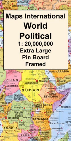
Framed, 198 x 122cm (6ft 6’’ x 4ft approx.) version of the extra large political map of the world from Maps International mounted on *pin board*. Countries are shown in bright vivid colours against light blue oceans. Country names are in large, clearly legible print. English versions of all city names are used throughout. Within
NGS Executive Political World Wall Map FRAMED
Framed version of the standard size, Atlantic centred NGS Executive political map of the world which offers current information presented in elegant antique style. Countries are in rich but muted colours and oceans in beige, with additional panels and framing in shades of brown. The map is mounted on board with a high quality aluminum
World Maps International Political Wall Map X-LARGE MAGNETIC-BOARD FRAMED
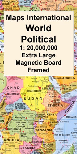
Framed, 198 x 122cm (6ft 6’’ x 4ft approx.) version of the extra large political map of the world from Maps International mounted on *magnetic board* to which magnetic makers can be attached. Countries are shown in bright vivid colours against light blue oceans. Country names are in large, clearly legible print. English versions of
NGS Executive Political World Wall Map ENLARGED, FRAMED
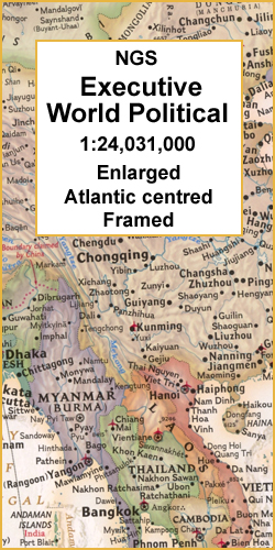
Framed version of the enlarged size, Atlantic centred NGS Executive political map of the world which offers current information presented in elegant antique style. Countries are in rich but muted colours and oceans in beige, with additional panels and framing in shades of brown. The map is mounted on board with a high quality aluminum
Qeqertarsuup Tunua – Kangerlussuaq
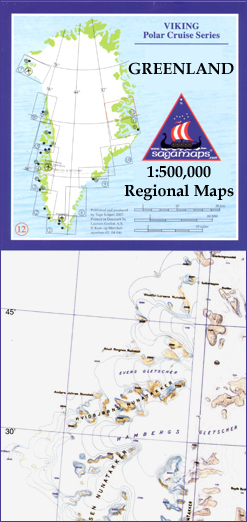
One of the titles in a series of contoured physical maps covering the coastal areas of Greenland. The maps have the same cartography as the 1:250,000 series by this publisher, reproduced here at half the original scale. The reduction means that some place names, symbols and fine detail are harder to read than on the
Upernavik

One of the titles in a series of contoured physical maps covering the coastal areas of Greenland. The maps have the same cartography as the 1:250,000 series by this publisher, reproduced here at half the original scale. The reduction means that some place names, symbols and fine detail are harder to read than on the
India Geographical Wall Map
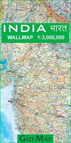
This 86x124cm wallmap is a physical map of India which includes the whole of Nepal, Bangladesh and large sections of Myanmar, Pakistan and Afghanistan. Relief is shown through elevation tinting and spot heights, and some physical features ie. swamps, reefs and glaciers are indicated. Six different types of roads are clearly marked and intermediate road
Iraq Wall Map
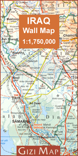
A clear and detailed 73x67cm map with relief depicted by elevation tinting and spot heights. Landscape features such as lakes, salt lakes, salt flats, water holes, swamps & deserts are distinguished and archeological sites are highlighted and listed in a table.The map shows various categories of roads with distances marked between points, also railways, oil
Turkmenistan Gizi Wall Map
Turkmenistan wall map at 1:1,300,000 from Gizi Map, size 99 x 70cm (39″ x 27.5″ approx) with altitude colouring and graphics providing an excellent picture of the country’s topography, marking for the routes of the old Silk Road, oil or gas wells and pipelines, etc, plus a street plan of Ashgabat.Topography is shown by altitude
Tourem

Topographic survey of Portugal at 1:50,000 from the Instituto Geogrรกfico do Exรฉrcito, the country’s military survey organisation. The maps have contours at 20m intervals and in addition to the standard features shown on topographic mapping at this scale also indicate various types of terrain or vegetation (sand, terraces, rocks, woodlands, vineyards, etc). Each sheet covers
The Constellations Wall Map PAPER
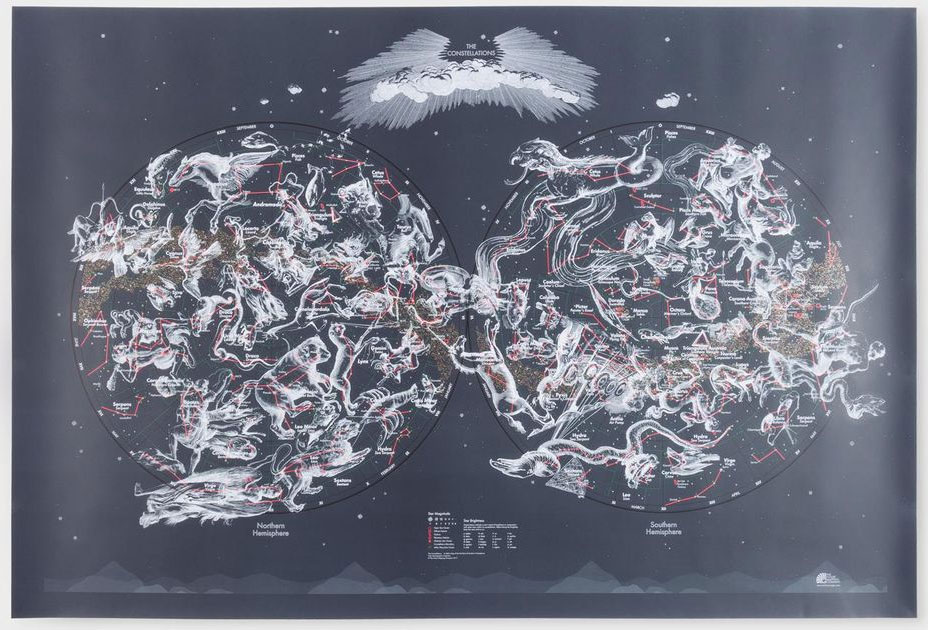
This functional map shows every star directly observable by the naked eye indicated by magnitude and brightness. Also mapped are the nebulae, star clusters and galaxies visible from Earth. Original 17th century illustrations by Polish astronomer Johannes Hevelius depict the creatures and characters that inspired ancient astronomers to identify the constellations – we’ve included both
Drakensberg Range 4 – Highmoor – Giant`s Castle – Kamberg – Mkhomazi
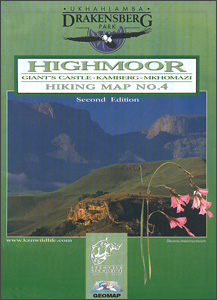
Highmoor – Giant`s Castle – Kamberg ‘“ Mkhomazi area of the Drakensberg Mountains in a series of six contoured and GPS compatible maps at 1:50,000 from the Kwazulu Natal Nature Conservation Service, highlighting hiking routes, entry points and restriction zones, locations of caves, accommodations facilities, etc, plus on the reverse drawings of the local flora
Drakensberg Range 5 – Cobham – Lotheni – Vrgelegen – Cobham
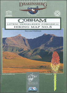
Cobham North – Loteni ‘“ Vergelegen area of the Drakensberg Mountains in a series of six contoured and GPS compatible maps at 1:50,000 from the Kwazulu Natal Nature Conservation Service, highlighting hiking routes, entry points and restriction zones, locations of caves, accommodations facilities, etc, plus on the reverse drawings of the local flora and fauna,
Drakensberg Range 6 – Garden Castle – Cobham – Bushman`s Nek
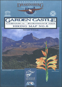
Garden Castle – Cobham South – Bushman`s Nek area of the Drakensberg Mountains in a series of six contoured and GPS compatible maps at 1:50,000 from the Kwazulu Natal Nature Conservation Service, highlighting hiking routes, entry points and restriction zones, locations of caves, accommodations facilities, etc, plus on the reverse drawings of the local flora
Cusco

One of the maps in the topographic survey of Peru from the country’s national survey organization, Instituto Geogrรกfico Nacional. Contours are at 25m intervals and colouring/symbols indicate different types of terrain and vegetation. Some of the maps may contain small blank spaces representing as yet unmapped areas. Each sheet covers 30’ latitude by 30’ longitude.
Qeqertarsuup Tunua

One of the titles in a series of contoured physical maps covering the coastal areas of Greenland. The maps have the same cartography as the 1:250,000 series by this publisher, reproduced here at half the original scale. The reduction means that some place names, symbols and fine detail are harder to read than on the


