Category Archives: Maps
Narsarsuaq
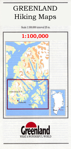
Narsarsuaq – Narsaq – Qaqortog, map no. 1, in a series of topographic maps of popular coastal areas of southern and central Greenland. Countours are shown at 25-metre intervals, with additional altitude colouring. The maps show settlements, farms, shepherds` huts, water supply areas, roads and tracks, fords, rivers and streams, etc. Tourist information includes marked
Stara Planina
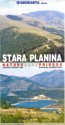
The southern part of the Stara Planina Mountains in south-eastern Serbia at 1:50,000 from Geokarta, with hiking trails shown on a detailed, contoured topographic base with GPS coordinates, plus other tourist information.The map has contours at 20m intervals and colouring for forested areas, with additional symbols distinguishing deciduous or coniferous woodlands, and indicates boundaries of
Narsaq

Narsaq, map no. 2, in a series of topographic maps of popular coastal areas of southern and central Greenland. Countours are shown at 25-metre intervals, with additional altitude colouring. The maps show settlements, farms, shepherds` huts, water supply areas, roads and tracks, fords, rivers and streams, etc. Tourist information includes marked or partly marked hiking
Denmark Road Atlas
Road Atlas of Denmark at 1:200,000, 2014/2015 edition, from Legind Kort & Forlag: spiral-bound and supplied in a handy 16x30cm slip case but opening to a more convenient 31x29cm format to present a larger area per page.The atlas shows the road network with clear numbering of routes and junctions; motorway services indicate fuel supplies, rest
Qaqortoq
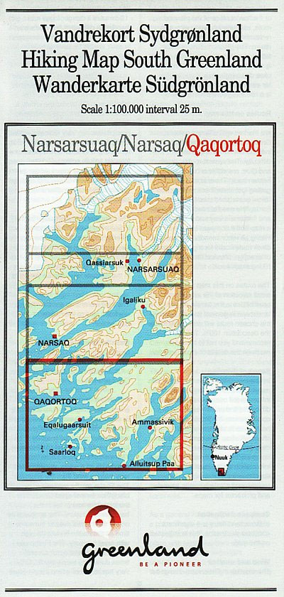
Qaqortoq, map no. 3, in a series of topographic maps of popular coastal areas of southern and central Greenland. Countours are shown at 25-metre intervals, with additional altitude colouring. The maps show settlements, farms, shepherds` huts, water supply areas, roads and tracks, fords, rivers and streams, etc. Tourist information includes marked or partly marked hiking
Funen Cycling Nordisk Map 3/8

Funen and the nearby islands of Tรฅsinge, Langeland, รrรธ and Als at 1:100,000 on a sturdy, waterproof and tear-resistant, double-sided cycling map from the Copenhagen-based Nordisk Korthandel, showing Denmark`s national, regional and local cycling routes with numbers, plus locations of campsites and youth hostels, etc. Funen with the adjoining coast of Jutland is on one
Bornholm Nordisk Cycling Map 8/8
Bornholm at 1:50,000 on a sturdy, waterproof and tear-resistant cycling map from the Copenhagen-based Nordisk Korthandel, showing Denmark’s national, regional and local cycling routes with numbers, plus locations of campsites and youth hostels, etc. Unlike the other titles in this series which are at 1:100,000 and double-sided, Bornholm is shown on one side of the
Denmark and Copenhagen Cycling Map
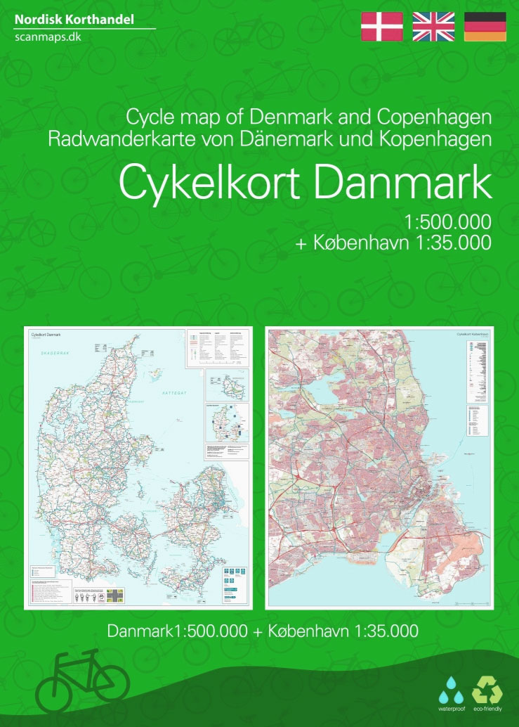
Water and tear proof Cycling Map of Denmark at 1:500,000 from Nordisk Korthandel showing the network of numbered national and regional cycle routes, other roads with cycle tracks, campsites and youth hostels, ferry connections with journey times, etc., plus on the reverse additional tourist information.Plain unobtrusive base has colouring only for woodlands, sand dunes and
Northern Zealand Nordisk Cycling Map 1/8
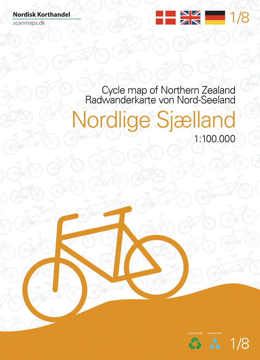
The Danish island of Zealand at 1:100,000 on a sturdy, waterproof and tear-resistant, double-sided cycling map from the Copenhagen-based Nordisk Korthandel, showing the country’s national, regional and local cycling routes with numbers, plus locations of campsites and youth hostels, etc. The map, with a generous overlap between the sides, covers most of Zealand apart from
Valjevo Mountain Range
Valjevo Mountain Range at 1:50,000 on a detailed, GPS compatible map from the Belgrade based Geokarta highlighting waymarked hiking trails and tourist accommodation, with on the reverse extensive notes about the area.The map shows the topography by contours at 20m intervals, with colouring for the forested areas. An overprint highlights waymarked hiking trails and symbols
Kopaonik
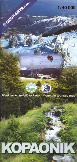
Kopaonik National Park on a detailed contoured map at 1:40,000, plus a plan of the resort at Suvo Rudiลกte, a road map of the wider region surrounding the park, panorama map of ski runs, plus notes on fauna and flora, etc. The main map at 1:40,000 covers the park and the surrounding area with Serbia’s
Tara National Park

Tara National Park on a detailed contoured map at 1:50,000 from Geokarta highlighting numerous waymarked hiking routes, with a street plan of Bajina Baลกta showing various tourist facilities and services.The map has contours at 20m intervals with relief shading and colouring for woodlands indicating deciduous and coniferous forests. An overprint highlights waymarked hiking trail, with
Radan and Sokolovica Mountains
Radan and Sokolovica Mountains at 1:50,000 on a detailed contoured map from the Belgrade based Geokarta showing waymarked hiking trails, hotels and mountain huts, places of interest, etc. Plus extensive notes in English.The map indicates boundaries of local hunting grounds of Sokolovica, Kocanica and ล umata as well as the protected nature areas. Contours are at
Pedrola CNIG Topo 353
Topographic coverage of mainland Spain at 1:50,000 in the MTN50 (Mapa Topogrรกfico Nacional) series from the Centro Nacional de Informaciรณn Geografica, the country’s civilian survey organization. The maps have contours at 20m intervals, enhanced by relief shading, plus colouring and/or graphics to show different types of terrain, vegetation or land use. Boundaries of national parks
Suva Mountains

Suva Mountains with the Gorges of the Jelaลกnicka River on a detailed contoured map at 1:55,000, plus extensive information on the tourist facilities in the area with colour photos of mountain shelters, notes on fauna and flora, etc. The map has contours at 20m intervals with relief shading and colouring for woodlands. Different levels of
Quintana Redonda CNIG Topo 378
Topographic coverage of mainland Spain at 1:50,000 in the MTN50 (Mapa Topogrรกfico Nacional) series from the Centro Nacional de Informaciรณn Geografica, the country’s civilian survey organization. The maps have contours at 20m intervals, enhanced by relief shading, plus colouring and/or graphics to show different types of terrain, vegetation or land use. Boundaries of national parks
Golija – Studenica Park and Biosphere Reserve

Golija – Studenica Park and Biosphere Reserve, a UNESCO site, at 1:50,000 on a detailed contoured map from the Belgrade based Geokarta showing waymarked hiking trails, hotels and mountain huts, places of interest, etc. The map indicates the boundary of the park and within it the Golija – Studenica biosphere reserve, Contours are at 20m
Tragacete CNIG Topo 565
Topographic coverage of mainland Spain at 1:50,000 in the MTN50 (Mapa Topogrรกfico Nacional) series from the Centro Nacional de Informaciรณn Geografica, the country’s civilian survey organization. The maps have contours at 20m intervals, enhanced by relief shading, plus colouring and/or graphics to show different types of terrain, vegetation or land use. Boundaries of national parks
Vlasina Lake

Vlasina Lake and its environs at 1:30,000 on a detailed, GPS compatible map from the Belgrade based Geokarta highlighting tourist facilities, with on the reverse extensive notes about the area in English. The map is centred on the lake and shows locations of campsites and other tourist accommodation. Local roads indicate locations of petrol stations.Topography


