Category Archives: Maps
Ivittuut
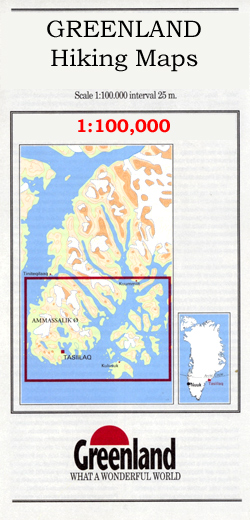
Ivittuut, map no. 4, in a series of topographic maps of popular coastal areas of southern and central Greenland. Countours are shown at 25-metre intervals, with additional altitude colouring. The maps show settlements, farms, shepherds` huts, water supply areas, roads and tracks, fords, rivers and streams, etc. Tourist information includes marked or partly marked hiking
Eqi – Alluttoq – Arveprinses Island

Eqi – Alluttoq – Arveprinses Island, map no. 20, in a series of topographic maps of popular coastal areas of southern and central Greenland. Countours are shown at 25-metre intervals, with additional altitude colouring. The maps show settlements, farms, shepherds` huts, water supply areas, roads and tracks, fords, rivers and streams, etc. Tourist information includes
Eqi Hiking Map

Eqi – Alluttoq – Arveprinses Island, map no. 20, in a series of topographic maps of popular coastal areas of southern and central Greenland. Countours are shown at 25-metre intervals, with additional altitude colouring. The maps show settlements, farms, shepherds` huts, water supply areas, roads and tracks, fords, rivers and streams, etc. Tourist information includes
Mount Etna – Alcantara – Simeto
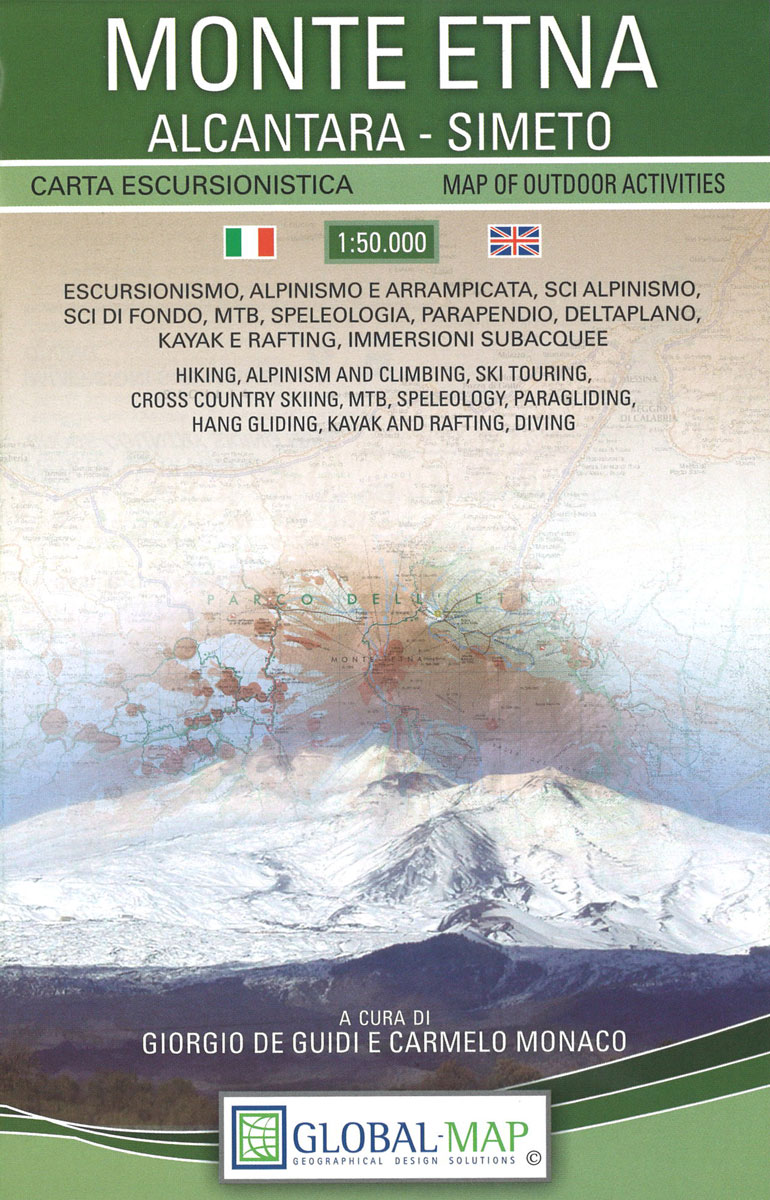
Mt Etna and its environs at 1:50,000 on a double-sided map from LAC in their Global Map imprint, with plenty of information for all types of recreational activities: hiking, climbing, biking, caving, canoeing, paragliding, diving, etc.The map is double-sided, with a very generous overlap between the sides, and covers an area from Moio Alcantara north
Monti Iblei – South-Eastern Sicily Global Map Tourist Map

Monti Iblei and the south-eastern part of Sicily on a detailed, indexed road map at 1:120,000 from Litografia Artistica Cartografica in the Global Map imprint, highlighting numerous places of interest, with town-by-town lists on the reverse.Coverage includes Ragusa and Siracusa, extending northwards beyond the towns of Lentini and Caltagirone, and westwards along the coast to
Parma Province

Parma Province at 1:150,000 in a series of handy size provincial road maps from Litografia Artistica Cartografica (LAC) with more minor local roads and country tracks than can be found on most regional maps from other publishers. This title is now available in a digitally produced edition.LAC’s provincial series is gradually being changed to a
Asti Province

Asti Province at 1:100,000 in a series of handy size provincial road maps from Litografia Artistica Cartografica (LAC) with more minor local roads and country tracks than can be found on most regional maps from other publishers. This title is now available in a digitally produced edition.LAC’s provincial series is gradually being changed to a
Messina Province

Messina Province at 1:150,000 in a series of handy size provincial road maps from Litografia Artistica Cartografica (LAC) with more minor local roads and country tracks than can be found on most regional maps from other publishers. This title is published with the traditional style LAC cartography. Coverage include Reggio di Calabria and Villa San
Kangerlussuaq

Kangerlussuaq, map no. 8, in a series of topographic maps of popular coastal areas of southern and central Greenland. Countours are shown at 25-metre intervals, with additional altitude colouring. The maps show settlements, farms, shepherds` huts, water supply areas, roads and tracks, fords, rivers and streams, etc. Tourist information includes marked or partly marked hiking
Bologna Global Map Street Plan
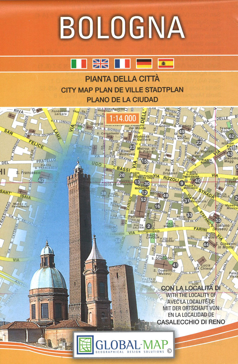
Bologna at 1:14,000 on indexed street plan from Litografia Artistica Cartografica in their Globalmap imprint, with a large, detailed enlargement of the city’s historic centre at 1:8,000. 56 monuments including historic buildings and churches, cultural or educational institutions, and important municipal buildings or facilities are numbered and listed next to the plan. Coverage includes Corticella,
Bornholm Nordisk Cycling Map 8/8
Bornholm at 1:50,000 on a sturdy, waterproof and tear-resistant cycling map from the Copenhagen-based Nordisk Korthandel, showing Denmark’s national, regional and local cycling routes with numbers, plus locations of campsites and youth hostels, etc. Unlike the other titles in this series which are at 1:100,000 and double-sided, Bornholm is shown on one side of the
Denmark and Copenhagen Cycling Map
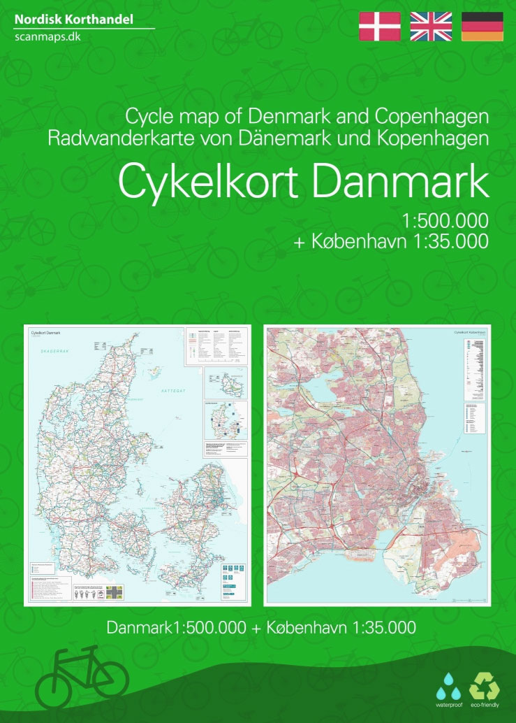
Water and tear proof Cycling Map of Denmark at 1:500,000 from Nordisk Korthandel showing the network of numbered national and regional cycle routes, other roads with cycle tracks, campsites and youth hostels, ferry connections with journey times, etc., plus on the reverse additional tourist information.Plain unobtrusive base has colouring only for woodlands, sand dunes and
Northern Zealand Nordisk Cycling Map 1/8
The Danish island of Zealand at 1:100,000 on a sturdy, waterproof and tear-resistant, double-sided cycling map from the Copenhagen-based Nordisk Korthandel, showing the country’s national, regional and local cycling routes with numbers, plus locations of campsites and youth hostels, etc. The map, with a generous overlap between the sides, covers most of Zealand apart from
Southern Zealand – Lolland Nordisk Cycling Map 2/8
The southern part of the Danish island of Zealand together with the nearby islands of Mรธnk, Falster and Lolland at 1:100,000 on a sturdy, waterproof and tear-resistant, double-sided cycling map from the Copenhagen-based Nordisk Korthandel, showing the country’s national, regional and local cycling routes with numbers, plus locations of campsites and youth hostels, etc. Coverage,
Northern Zealand Cycling Map & Cycle Guide
The Danish island of Zealand at 1:100,000 on a sturdy, waterproof and tear-resistant, double-sided cycling map from the Copenhagen-based Nordisk Korthandel, showing the country’s national, regional and local cycling routes with numbers, plus locations of campsites and youth hostels, etc. The map, with a generous overlap between the sides, covers most of Zealand apart from
Southern Zealand – Lolland Cycling Map & Cycle Guide
The southern part of the Danish island of Zealand together with the nearby islands of Mรธnk, Falster and Lolland at 1:100,000 on a sturdy, waterproof and tear-resistant, double-sided cycling map from the Copenhagen-based Nordisk Korthandel, showing the country’s national, regional and local cycling routes with numbers, plus locations of campsites and youth hostels, etc. Coverage,
Funen Cycling Map & Cycle Guide
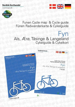
Nordisk Korthandel, scanmaps has just published a new Cycle Map and Cycle Guide covering Funen, รrรธ, Tรฅsinge and Langeland.The Cycle Map is in scale 1:100,000. There are many routes on the map (2 National, 26 Regional, 10 Local and 1 EuroVelo route).The map is printed on the rigid and waterproof material Polyart, a material that
East Jutland Cycling Nordisk Map 4/8

The eastern coast of Jutland with the island of Samsรธ at 1:100,000 on a sturdy, waterproof and tear-resistant, double-sided cycling map from the Copenhagen-based Nordisk Korthandel, showing Denmark`s national, regional and local cycling routes with numbers, plus locations of campsites and youth hostels, etc. Coverage, with a good overlap between the sides, extends from Kolding
Denmark Tourist Map – Major Cities with the Marguerite Route
Cycling Map of Denmark at 1:500,000 from Nordisk Korthandel showing the network of numbered national and regional cycle routes, other roads with cycle tracks, campsites and youth hostels, ferry connections with journey times, etc, plus on the reverse additional tourist information.Plain unobtrusive base has colouring only for woodlands, sand dunes and tidal flats. Cycle routes
Manhattan Block-by-Block Street Atlas
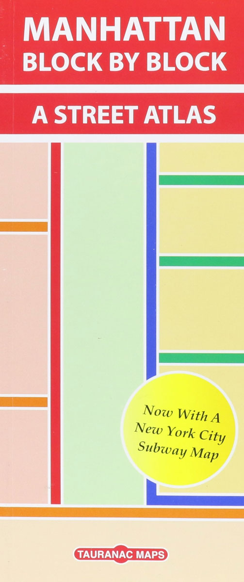
Manhattan Block by Block Street Atlas from Taurnac Maps providing very detailed, informative and easy to use coverage of the whole borough, with information on subway and bus services, house numbers, etc.The introductory section has an overview map of the whole borough naming its various neighbourhoods, plus provides notes on the use of public transport,


