Category Archives: Maps
Catania Global Map Street Plan
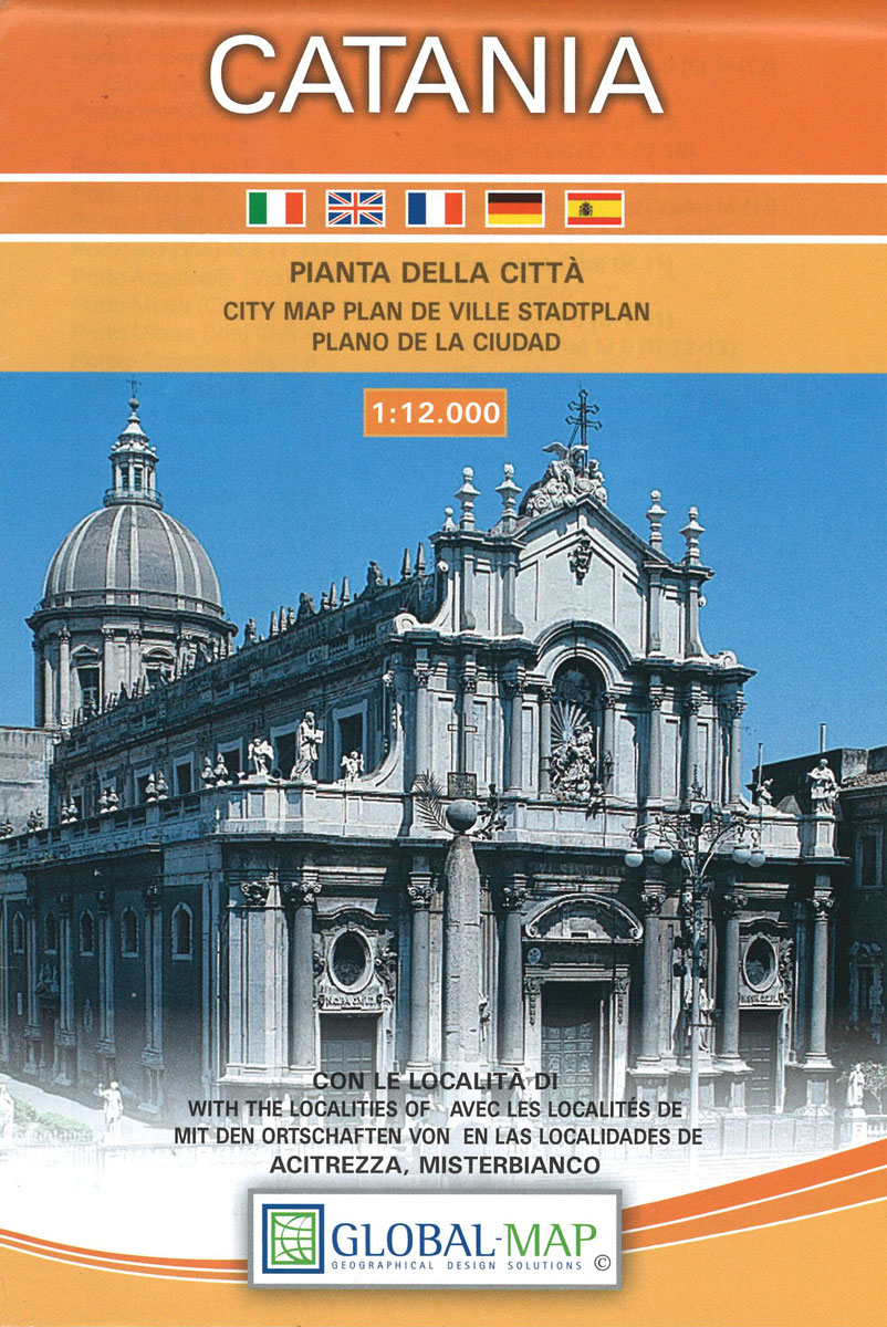
Catania on an indexed street plan at 1:12,000 from Litografia Artistica Cartografica in their Globalmap imprint, with a detailed enlargement of the city’s historic centre at 1:6,000. 58 monuments including historic buildings and churches, cultural or educational institutions, and important municipal buildings or facilities are numbered and listed next to the plan. Insets extend the
Parco delle Madonie
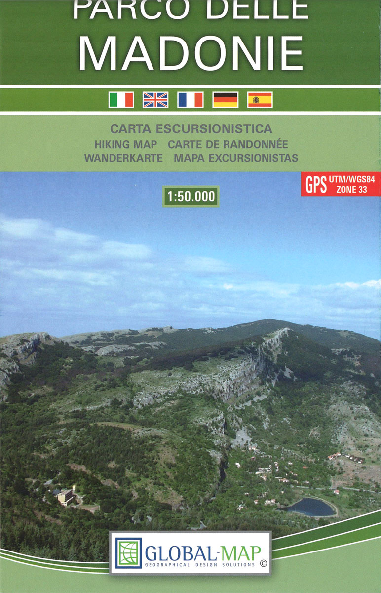
Parco delle Madonie on the north coast of Sicily just south of Cefalรน on a detailed, GPS compatible map at 1:50,000 from LAC in their Globalmap imprint. An overprint highlights hiking trails, including the local section of Sentiero Italia, and indicates more strenuous sections.Topography of this interesting area is very well presented by contours enhanced
Lucca
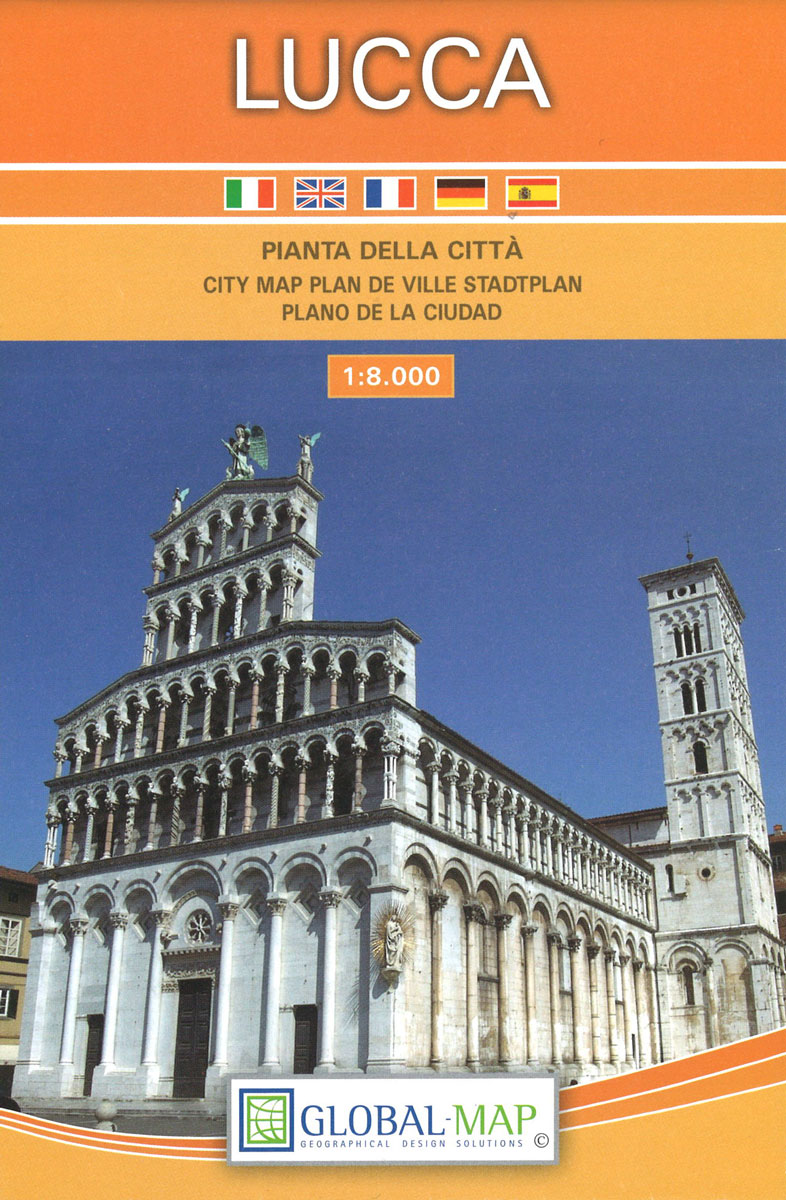
Lucca on an indexed street plan at 1:8,000 from Litografia Artistica Cartografica in their Globalmap imprint, with a detailed enlargement of the city’s historic centre at 1:5,000. 66 monuments including historic buildings and churches, cultural or educational institutions, and important municipal buildings or facilities are numbered and listed next to the plan.Litografia Artistica Cartografica (LAC)
Montagnola Senese
Detailed road and tourist map of is region lying just west of Siena. Relief is shown by unobtrusive hill-shading contours, with additional spot heights.Road detail includes minor roads & tracks, and CAI hiking paths are emphasised in red. Other detials include railways, woods, springs, protected areas, province & commune boundaries.A series of bold symbols indicates
Grosseto
Grosseto at 1:10,000 on an indexed street plan from Litografia Artistica Cartografica, Italy’s leading publishers of city maps with an extensive range of titles. Where appropriate, the plans include an enlargement showing the historic centre in greater detail. On each plan monuments including historic buildings and churches, archaeological sites, cultural or educational institutions, and important
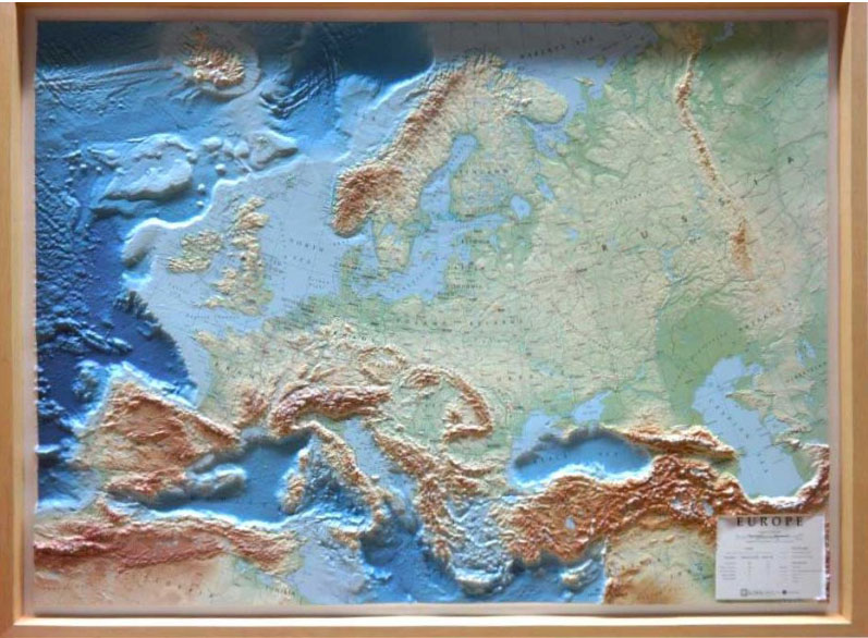
Europe RAISED RELIEF – FRAMED
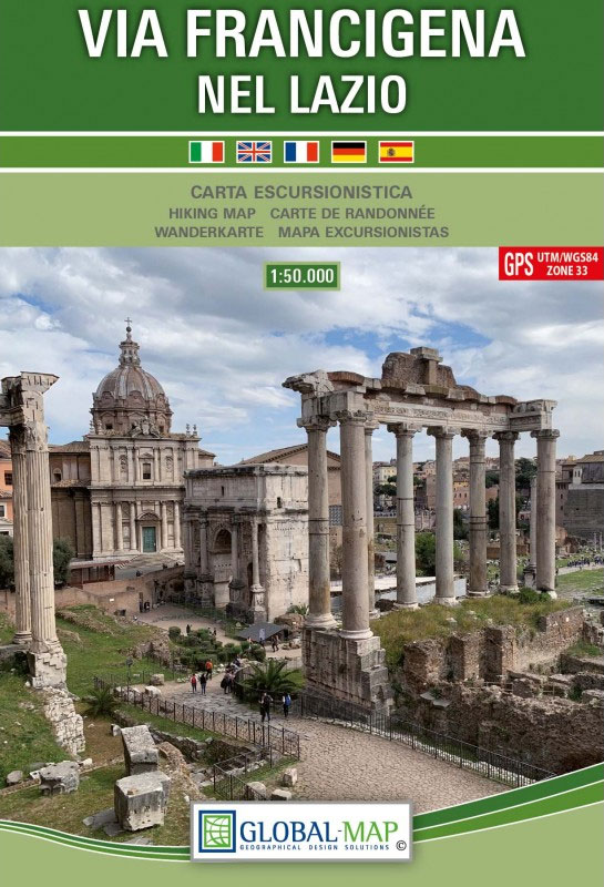
Via Francigena in Lazio
Mount Etna – Alcantara – Simeto WATERPROOF

Mt Etna and its environs at 1:50,000 on a double-sided map from LAC in their Global Map imprint, with plenty of information for all types of recreational activities: hiking, climbing, biking, caving, canoeing, paragliding, diving, etc.The map is double-sided, with a very generous overlap between the sides, and covers an area from Moio Alcantara north
Siena Global Map Street Plan
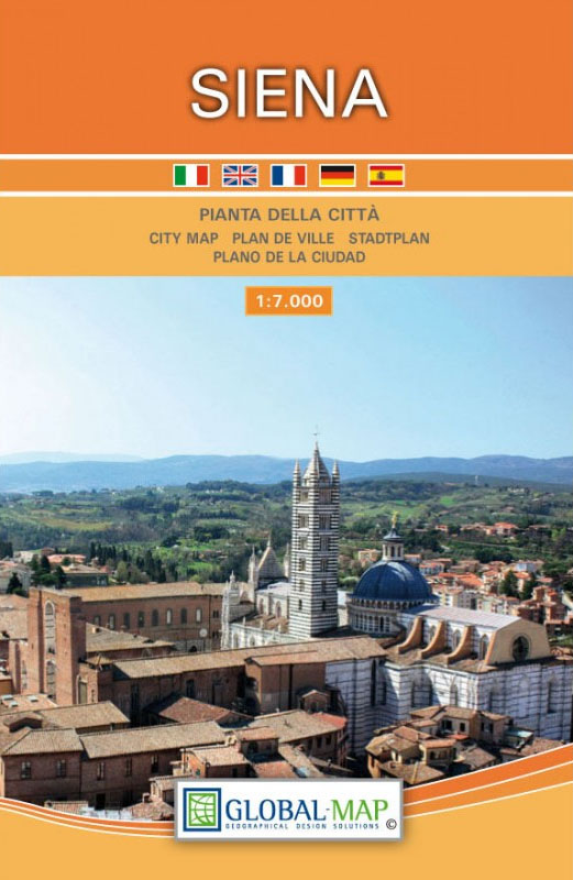
Siena on an indexed street plan at 1:8,000 from Litografia Artistica Cartografica in their Globalmap imprint, with a detailed enlargement of the city’s historic heart at 1:4,500. 77 monuments including historic buildings and churches, cultural or educational institutions, and important municipal buildings or facilities are numbered and listed next to the plans, with the principal
Asti Province

Asti Province at 1:100,000 in a series of handy size provincial road maps from Litografia Artistica Cartografica (LAC) with more minor local roads and country tracks than can be found on most regional maps from other publishers. This title is now available in a digitally produced edition.LAC’s provincial series is gradually being changed to a
Messina Province

Messina Province at 1:150,000 in a series of handy size provincial road maps from Litografia Artistica Cartografica (LAC) with more minor local roads and country tracks than can be found on most regional maps from other publishers. This title is published with the traditional style LAC cartography. Coverage include Reggio di Calabria and Villa San
Kangerlussuaq
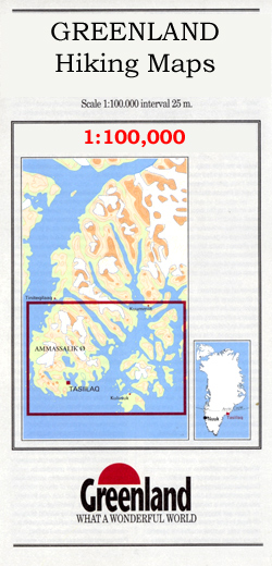
Kangerlussuaq, map no. 8, in a series of topographic maps of popular coastal areas of southern and central Greenland. Countours are shown at 25-metre intervals, with additional altitude colouring. The maps show settlements, farms, shepherds` huts, water supply areas, roads and tracks, fords, rivers and streams, etc. Tourist information includes marked or partly marked hiking
Bologna Global Map Street Plan
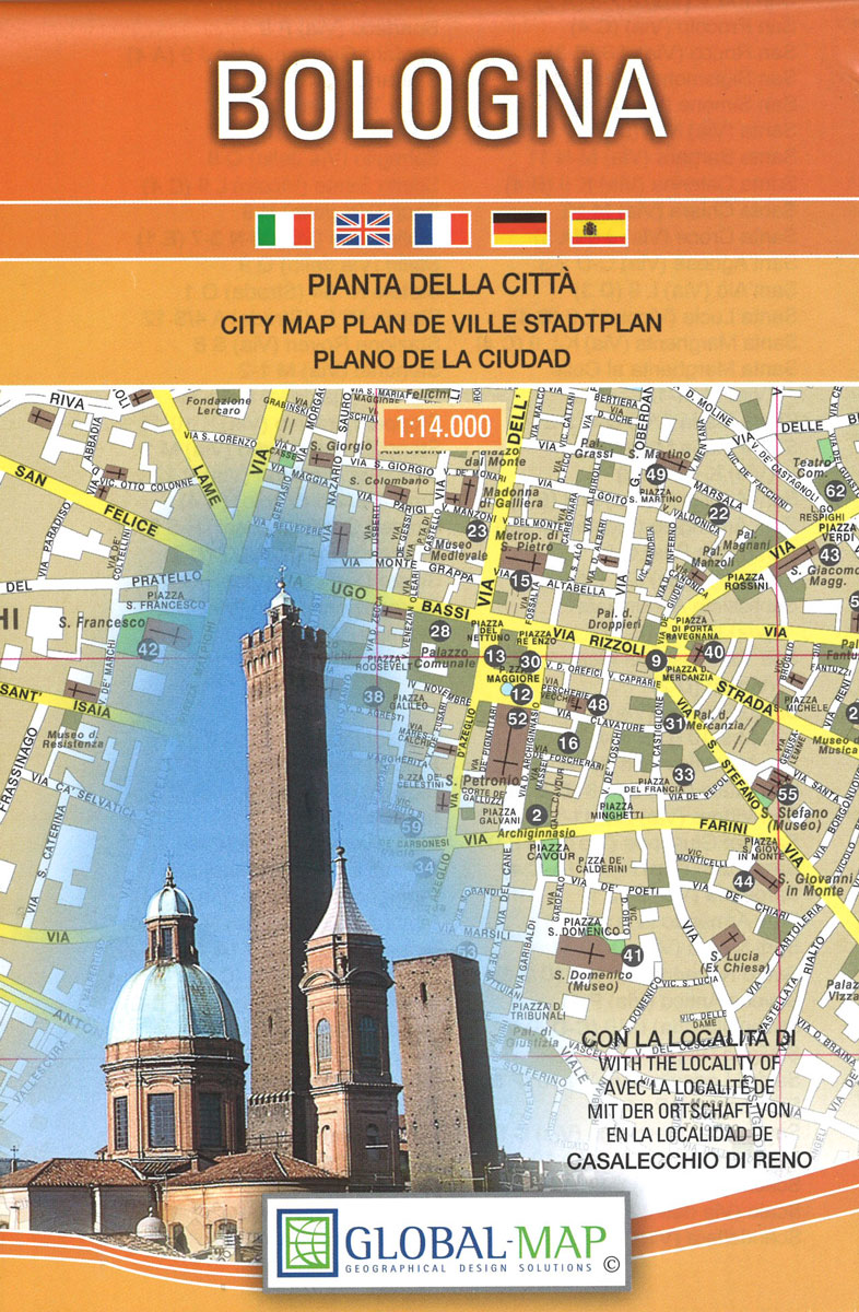
Bologna at 1:14,000 on indexed street plan from Litografia Artistica Cartografica in their Globalmap imprint, with a large, detailed enlargement of the city’s historic centre at 1:8,000. 56 monuments including historic buildings and churches, cultural or educational institutions, and important municipal buildings or facilities are numbered and listed next to the plan. Coverage includes Corticella,
Qasigiannguit

Qasigiannguit, map no. 17, in a series of topographic maps of popular coastal areas of southern and central Greenland. Countours are shown at 25-metre intervals, with additional altitude colouring. The maps show settlements, farms, shepherds` huts, water supply areas, roads and tracks, fords, rivers and streams, etc. Tourist information includes marked or partly marked hiking
Bergamo Global Map Street Plan
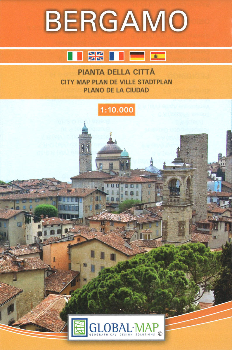
Bergamo at 1:10,000 on an indexed street plan from Litografia Artistica Cartografica, with a detailed enlargement of the city’s historic centre at 1:7,000. 41 monuments including historic buildings and churches, cultural or educational institutions, and important municipal buildings or facilities are numbered and listed next to the plan. Coverage extends south to include access to
Evighedsfjorden Hiking Map

Evighedsfjorden Hiking Map No. 16 at 1: 75,000 part of a series covering the Coastal areas of Greenland at 1:100,000 or 1:75,000 of GPS compatible contoured topographic maps from Greenland Tourism, indicating both recommended hiking trails and snowmobile routes, plus camping places, youth hostels, etc.Contours lines are at 25m intervals and additional altitude colouring. The
Turin Global Map Street Plan
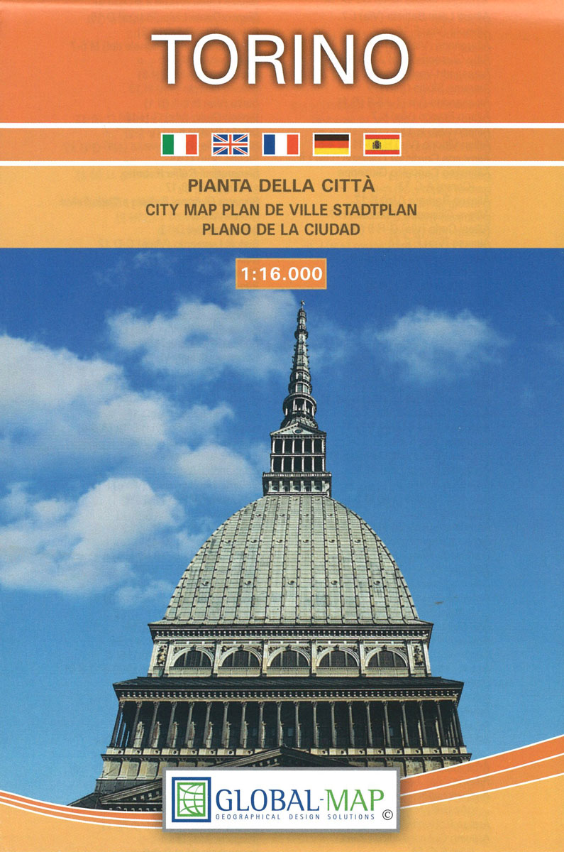
Turin (Torino) at 1:16,000 on indexed street plan from Litografia Artistica Cartografica in their Globalmap imprint, with a large detailed enlargement of the city’s historic centre at 1:8,500. 48 monuments including historic buildings and churches, cultural or educational institutions, and important municipal buildings or facilities are numbered and listed next to the plan. The city’s
Ilulissat

Ilulissat, map no. 12, in a series of topographic maps of popular coastal areas of southern and central Greenland. Countours are shown at 25-metre intervals, with additional altitude colouring. The maps show settlements, farms, shepherds` huts, water supply areas, roads and tracks, fords, rivers and streams, etc. Tourist information includes marked or partly marked hiking
Tuscia – Viterbo Province Global Map Tourist Map

Tuscia in northern Lazio, bordering Tuscany and Umbria, on a detailed, indexed road map with five sightseeing tours, each annotated on the reverse with list of historical monuments and numerous photos. The map has cartography similar to the publishers’ map of Viterbo in their provincial series and covers broadly the same area, i.e. the whole


