Category Archives: Maps
Trieste Global Map Street Plan
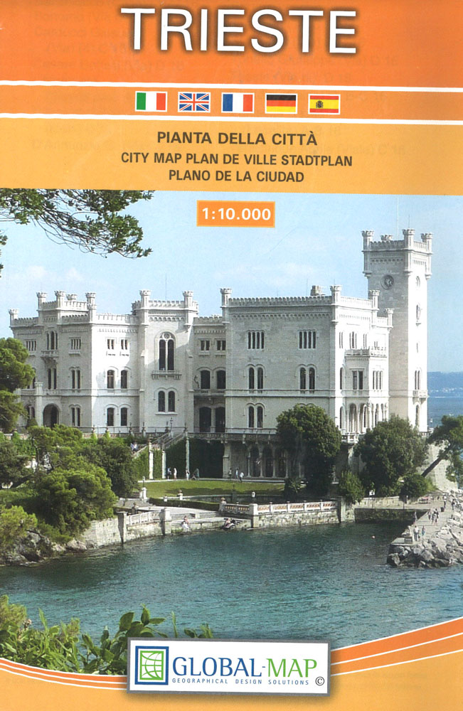
Trieste on an indexed street plan at 1:10,000 from Litografia Artistica Cartografica in their Globalmap imprint, with an enlargement presenting city’s historic centre in greater detail and clarity at 1:6,000. 48 important buildings are prominently highlighted. The plan also indicates car parks within the city’s central area.Litografia Artistica Cartografica (LAC) are Italy’s leading publishers of
Vicenza Global Map Street Plan
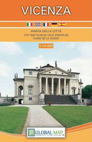
Vicenza at 1: 14,000 on an indexed street plan from Litografia Artistica Cartografica in their Globalmap imprint, with a detailed enlargement of the city’s historic centre at 1:7,000. 56 monuments including historic buildings and churches, cultural or educational institutions, and important municipal buildings or facilities are numbered and listed next to the plan. Litografia Artistica
Milan and Environs

Milan and its environs on a light, waterproof and tear-resistant, double-sided map with excellent clear cartography, plus street plans of town centres of Milan, Como, Bergamo, Monza, Lecco, Varese, Stresa and Vimercate. On one side is a map at 1:52,500 of the city’s immediate environs, showing detail down to many isolated individual farmhouses. Road junctions
Lecce and the Salento Peninsula TCI Smart Map
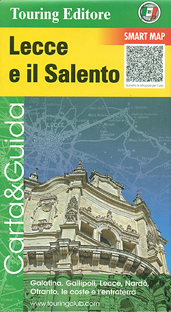
Lecce and the Salento Peninsula Smart Map at 1:175,000 from the Touring Club Italiano, printed on light waterproof and tear-resistant synthetic paper, with street plan of central Lecce, annotated with several sights, plus 10 more recommendations of places worth visiting.Cartography is from TCI’s excellent regional series at 1:200,000, enlarged here to 1:175,000 and with an
Mount Etna and Taormina TCI Smart Map
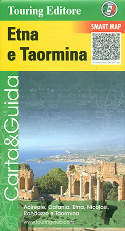
Mount Etna and Taormina at 1:175,000 in Touring Club Italiano’ series of Smart Maps, printed on light waterproof and tear-resistant synthetic paper, with a street plan of central Taormina, annotated with several sights, plus more recommendations of places worth visiting. Coverage extends to the northern coastline of Sicily including Messina and the connections to the
Naples and the Sorrento Peninsula TCI Smart Map
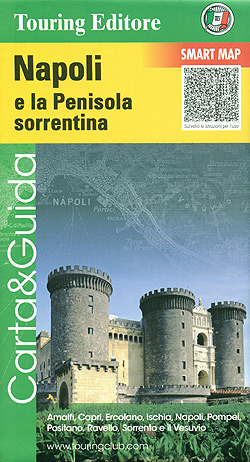
Naples and the Sorrento Peninsula at 1:175,000 in a Smart Map series from the Touring Club Italiano, printed on light waterproof and tear-resistant synthetic paper, with a street plan of Naples annotated with several sights, plus 12 more recommendations from Capri and Ischia to Vesuvius, Pompeii and Amalfi. Cartography is from TCI’s excellent regional series
Po Delta TCI Smart Map
The Delta of the Po on a light, waterproof and tear resistant map from the Touring Club Italiano, with street plans of central Ferrara and Ravenna, plus extensive text, all in Italian only, on recommended sights, etc. This title, unlike most other maps in the TCI Smart Map series, is at 1:200,000.The map covers an
Versilia TCI Smart Map
Versilia region of northern Tuscany on a light, waterproof and tear resistant map at 1:175,000 from the Touring Club Italiano, with a street plan of central Viareggio, plus extensive text, all in Italian only, on recommended sights, etc.The map covers the coastline from La Spezia and the western part of the Cinque Terre to south
Siena and Val d’Orcia TCI Smart Map
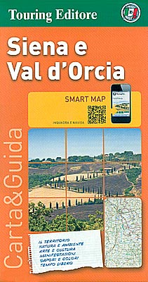
Siena and Val d’Orcia region of Tuscany on a light, waterproof and tear resistant map at 1:175,000 from the Touring Club Italiano with publishers’ recommendations for best sights, street plans of Siena, Montalcino and Pienza, plus extensive text, all in Italian only, with more suggestions on how to get the best of the region.Coverage extends
Chianti TCI Smart Map
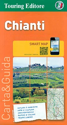
The Chianti region of Tuscany on a light, waterproof and tear resistant map at 1:175,000 from the Touring Club Italiano with publishers’ recommendations for best sights along the route linking Florence and Siena, plus extensive text, all in Italian only, with more suggestions on how to get the best of the region.Coverage extends from north
Lucca
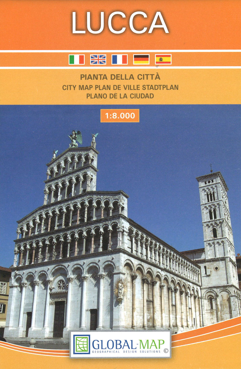
Lucca on an indexed street plan at 1:8,000 from Litografia Artistica Cartografica in their Globalmap imprint, with a detailed enlargement of the city’s historic centre at 1:5,000. 66 monuments including historic buildings and churches, cultural or educational institutions, and important municipal buildings or facilities are numbered and listed next to the plan.Litografia Artistica Cartografica (LAC)
Montagnola Senese
Detailed road and tourist map of is region lying just west of Siena. Relief is shown by unobtrusive hill-shading contours, with additional spot heights.Road detail includes minor roads & tracks, and CAI hiking paths are emphasised in red. Other detials include railways, woods, springs, protected areas, province & commune boundaries.A series of bold symbols indicates
Grosseto
Grosseto at 1:10,000 on an indexed street plan from Litografia Artistica Cartografica, Italy’s leading publishers of city maps with an extensive range of titles. Where appropriate, the plans include an enlargement showing the historic centre in greater detail. On each plan monuments including historic buildings and churches, archaeological sites, cultural or educational institutions, and important
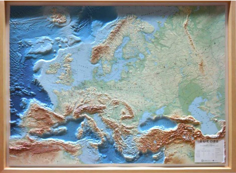
Europe RAISED RELIEF – FRAMED
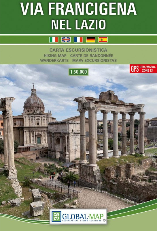
Via Francigena in Lazio
Mount Etna – Alcantara – Simeto WATERPROOF

Mt Etna and its environs at 1:50,000 on a double-sided map from LAC in their Global Map imprint, with plenty of information for all types of recreational activities: hiking, climbing, biking, caving, canoeing, paragliding, diving, etc.The map is double-sided, with a very generous overlap between the sides, and covers an area from Moio Alcantara north
Siena Global Map Street Plan
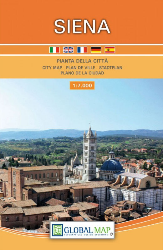
Siena on an indexed street plan at 1:8,000 from Litografia Artistica Cartografica in their Globalmap imprint, with a detailed enlargement of the city’s historic heart at 1:4,500. 77 monuments including historic buildings and churches, cultural or educational institutions, and important municipal buildings or facilities are numbered and listed next to the plans, with the principal
San Gimignano – Volterra
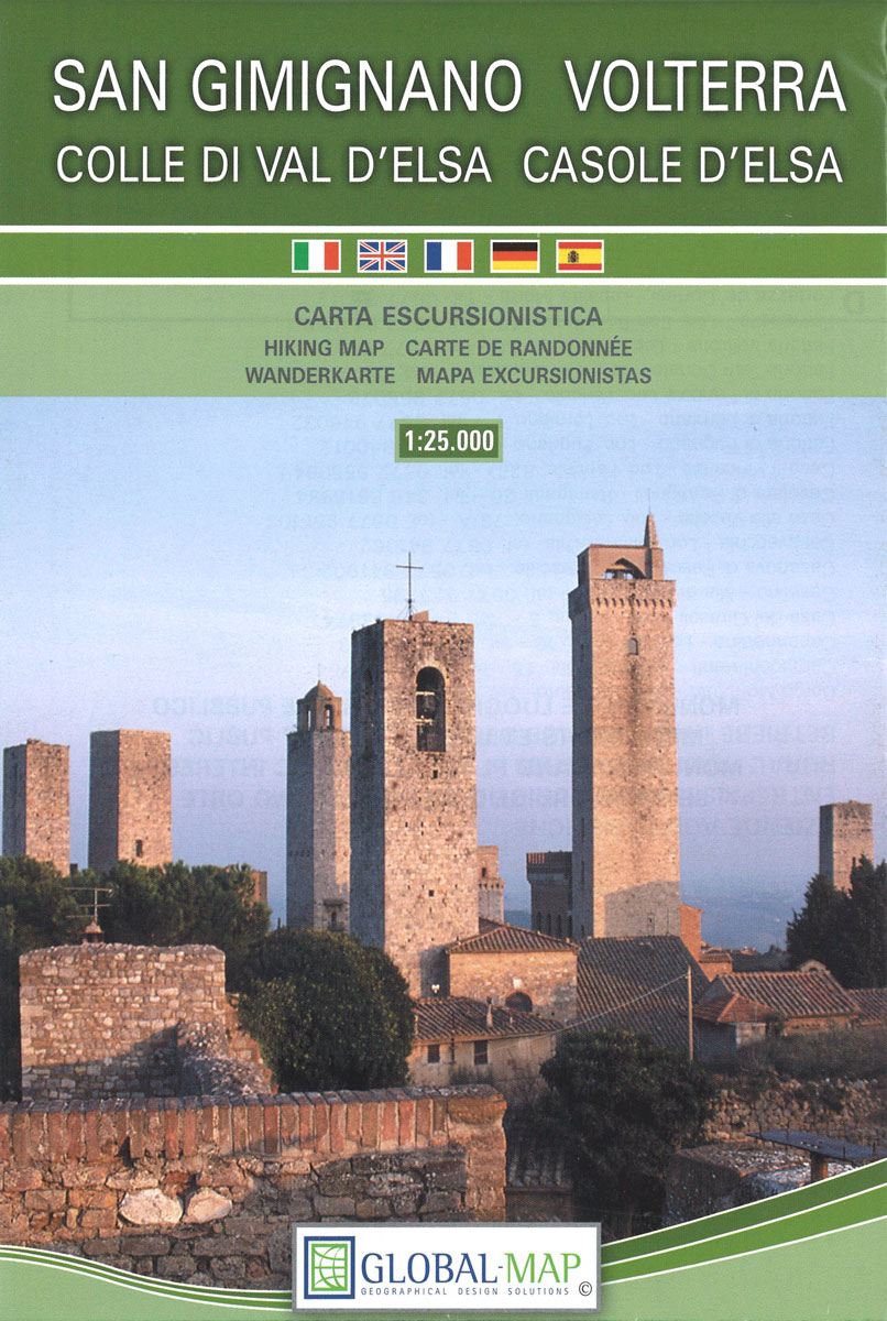
Contoured, GPS compatible map of one of Tuscany’s most visited areas, with hiking and mountain bike routes, plus on the reverse street plans of San Gimignano and Volterra, recommendations for rural accommodation, etc.The main map covers the area at 1:25,000 and has contours at 25m intervals. An overprint highlights numerous waymarked hiking trails, cross-referenced to
Turin Province
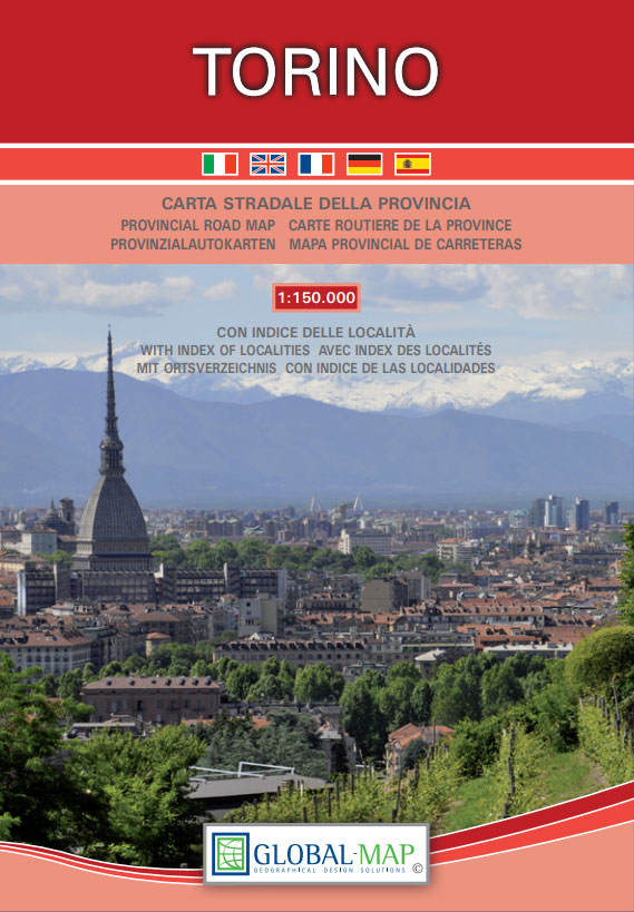
Turin Province at 1:150,000 in a series of handy size provincial road maps from Litografia Artistica Cartografica (LAC) with more minor local roads and country tracks than can be found on most regional maps from other publishers. This title is published with the traditional style LAC cartography.LAC’s provincial series is gradually being changed to a


