Category Archives: Maps
Liguria TCI Regional 05
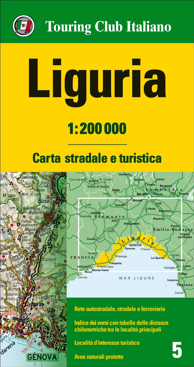
Liguria with the Italian Riviera in Touring Club Italiano’s series of regional road maps at 1:200,000, used by millions of locals and tourists alike and always among Stanford’s perennial best-sellers. Coverage extends along the coast from Nice and Monaco to Viareggio in Tuscany, and northwards to the outskirts of Milan, and includes the southern part
Sardinia TCI Regional 15
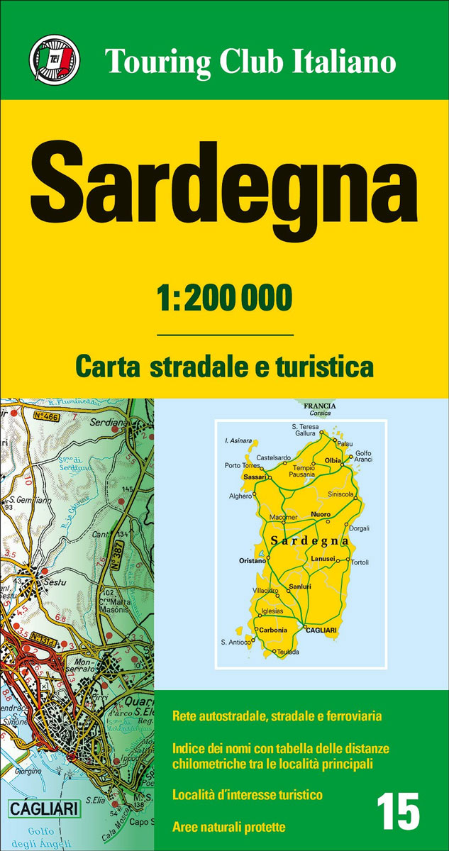
Sardinia in Touring Club Italiano’s series of regional road maps of Italy at 1:200,000, used by millions of locals and tourists alike and always among Stanford’s perennial best-sellers.TCI maps have subtle but very effective relief shading plus spot heights to present the topography. Names of mountain ranges, valleys, peaks, etc. are shown and national parks
Rome TCI Street Plan
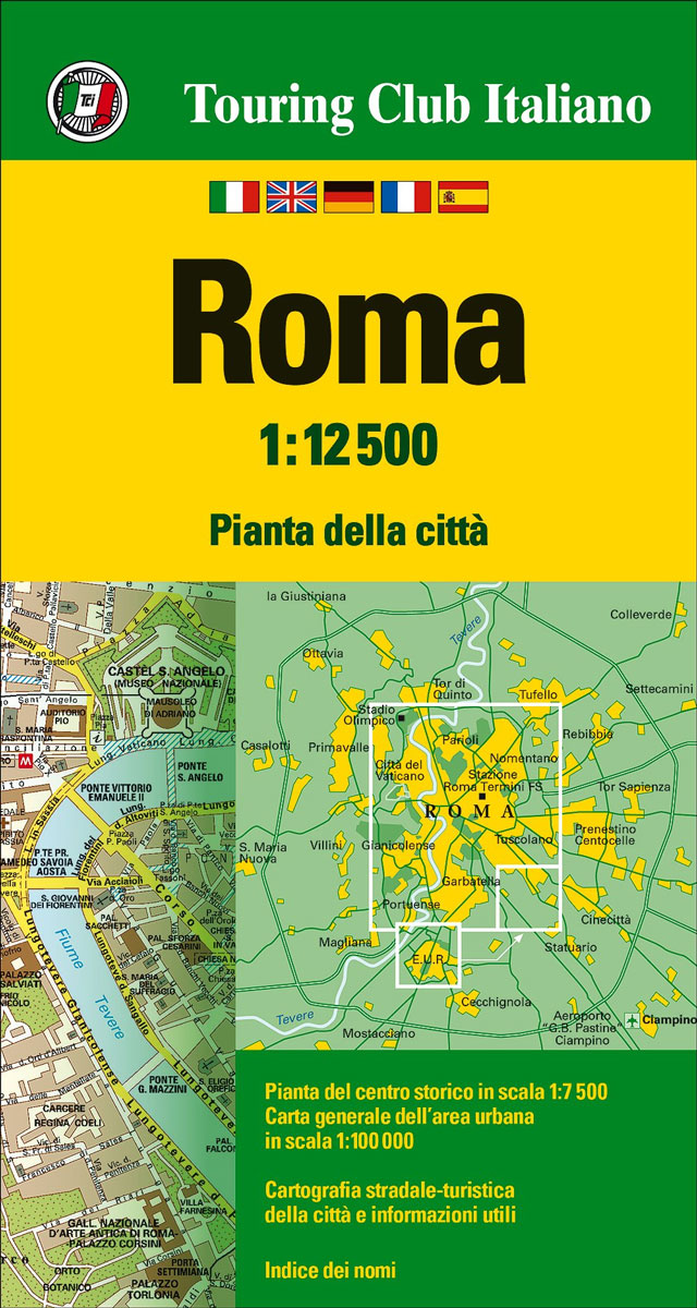
Rome on a waterproof and tear-resistant, indexed map from Touring Club Italiano, combining two street plans of the city with a road map of its environs. Clear, elegant cartography and subtle colouring make TCI plans particularly easy to read. On one half of the sheet is a more general plan of the city with its
Bologna TCI Pocket Plan
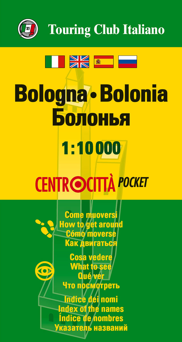
Central Bologna street plan on light, waterproof and tear-resistant pocket map with Touring Club Italiano’s excellent, clear cartography; indexed, with a diagram of the historic centre shuttle network, information about main sights, useful addresses, etc.The plan, printed on light, waterproof and tear resistant plastic paper, has clear, elegant cartography. Main traffic arteries are highlighted, but
Rome TCI Pocket Atlas
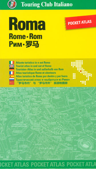
Pocket street atlas of Rome with Touring Club Italiano’s elegant and exceptionally clear cartography, highlighting for areas of particular interest to present different aspects of the city, publishers’ recommendations for sightseeing, shopping etc, and practical tourist information for visitors. Mapping at 1:12,500 covers the city inner districts, roughly from the Olympic Stadium and the Villa
Rome TCI Pocket Plan
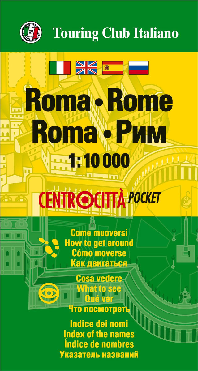
Central Rome street plan on light, waterproof and tear-resistant pocket map with Touring Club Italiano’s excellent, clear cartography; indexed, with a diagram of the metro and rail network, information about main sights, useful addresses, etc.The plan, printed on light, waterproof and tear resistant plastic paper, has clear, elegant cartography. Coverage includes all the city’s main
Pilgrimage Routes in Lazio TCI Smart Map
Lazio, the administrative region of Italy around Rome, presented at 1:350,000 on a light, waterproof and tear resistant road map from the Touring Club Italiano with and overprint highlighting the course of the historical pilgrimage routes including Via Francigena.TCI’s excellent, clear cartography shows the road network with driving distances shown on main and regional routes;
Verona TCI Pocket Plan
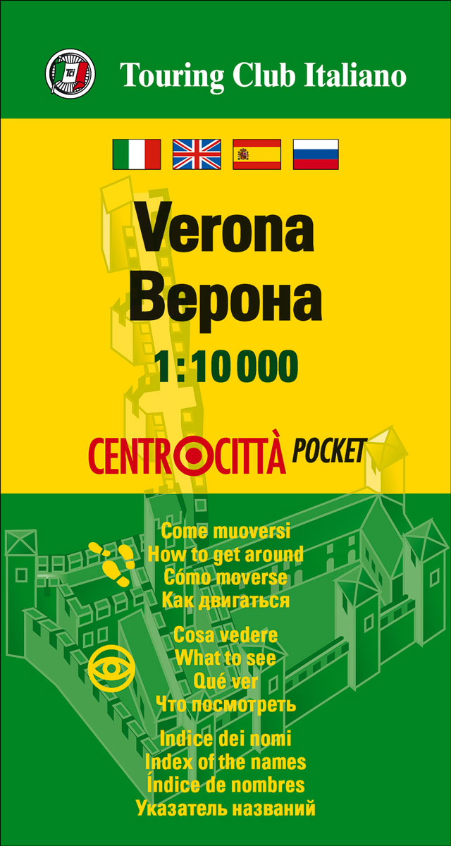
Central Verona street plan on light, waterproof and tear-resistant pocket map with Touring Club Italiano’s excellent, clear cartography; indexed, with a diagram of the bus network, information about main sights, useful addresses, etc.The plan, printed on light, waterproof and tear resistant plastic paper, has clear, elegant cartography. Main traffic arteries are highlighted, but one way
Italy North – Central TCI 500K Road Map
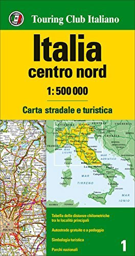
Northern and central Italy up to Rome presented at 1:500,000 by the Touring Club Italiano on a double-sided map designed to stress the network of motorways and main connecting routes. The map highlights numerous scenic roads and the country’s national parks. Coverage, with a good overlap and Bologna on both sides, extends south to include
Florence TCI Street Plan

Florence on a light, waterproof and tear-resistant street plan from Touring Club Italiano, with the city’s historic heart shown at 1:6,500, plus a road map of the environs. Clear, elegant cartography and subtle colouring make TCI plans particularly easy to read. The main plan at 1:12,500 covers Florence with its outer suburbs, from Fiesole in
Milan and Environs

Milan and its environs on a light, waterproof and tear-resistant, double-sided map with excellent clear cartography, plus street plans of town centres of Milan, Como, Bergamo, Monza, Lecco, Varese, Stresa and Vimercate. On one side is a map at 1:52,500 of the city’s immediate environs, showing detail down to many isolated individual farmhouses. Road junctions
Lecce and the Salento Peninsula TCI Smart Map
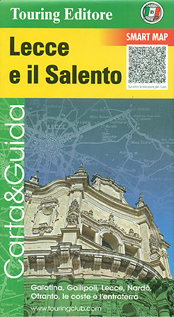
Lecce and the Salento Peninsula Smart Map at 1:175,000 from the Touring Club Italiano, printed on light waterproof and tear-resistant synthetic paper, with street plan of central Lecce, annotated with several sights, plus 10 more recommendations of places worth visiting.Cartography is from TCI’s excellent regional series at 1:200,000, enlarged here to 1:175,000 and with an
Mount Etna and Taormina TCI Smart Map
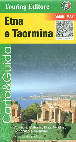
Mount Etna and Taormina at 1:175,000 in Touring Club Italiano’ series of Smart Maps, printed on light waterproof and tear-resistant synthetic paper, with a street plan of central Taormina, annotated with several sights, plus more recommendations of places worth visiting. Coverage extends to the northern coastline of Sicily including Messina and the connections to the
Naples and the Sorrento Peninsula TCI Smart Map
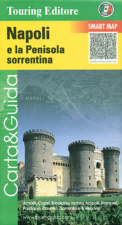
Naples and the Sorrento Peninsula at 1:175,000 in a Smart Map series from the Touring Club Italiano, printed on light waterproof and tear-resistant synthetic paper, with a street plan of Naples annotated with several sights, plus 12 more recommendations from Capri and Ischia to Vesuvius, Pompeii and Amalfi. Cartography is from TCI’s excellent regional series
Po Delta TCI Smart Map
The Delta of the Po on a light, waterproof and tear resistant map from the Touring Club Italiano, with street plans of central Ferrara and Ravenna, plus extensive text, all in Italian only, on recommended sights, etc. This title, unlike most other maps in the TCI Smart Map series, is at 1:200,000.The map covers an
Versilia TCI Smart Map
Versilia region of northern Tuscany on a light, waterproof and tear resistant map at 1:175,000 from the Touring Club Italiano, with a street plan of central Viareggio, plus extensive text, all in Italian only, on recommended sights, etc.The map covers the coastline from La Spezia and the western part of the Cinque Terre to south
Siena and Val d’Orcia TCI Smart Map
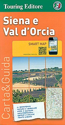
Siena and Val d’Orcia region of Tuscany on a light, waterproof and tear resistant map at 1:175,000 from the Touring Club Italiano with publishers’ recommendations for best sights, street plans of Siena, Montalcino and Pienza, plus extensive text, all in Italian only, with more suggestions on how to get the best of the region.Coverage extends
Chianti TCI Smart Map
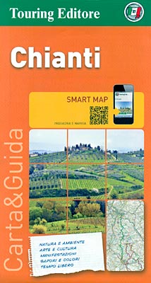
The Chianti region of Tuscany on a light, waterproof and tear resistant map at 1:175,000 from the Touring Club Italiano with publishers’ recommendations for best sights along the route linking Florence and Siena, plus extensive text, all in Italian only, with more suggestions on how to get the best of the region.Coverage extends from north
Maremma and the Etruscan Coast TCI 200K Smart Map
Maremma and the Etruscan Coast of Tuscany Smart Map at 1:200,000 from the Touring Club Italiano, printed on light waterproof and tear-resistant synthetic paper, with a street plan of central Grosseto annotated with main sights, plus 14 more recommendations of places worth visiting. Coverage extends southwards from Siena and Volterra to the Tuscany’s administrative boundary


