Category Archives: Maps
Cinque Terre TCI Map & Guide
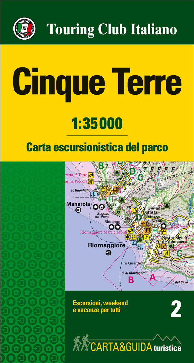
Map and guide to discover and visit the Cinque Terre National Park, a World Heritage Site. With its overhanging shores, bays and small beaches, thousands of kilometers of dry stone walls surrounding the terraces where vineyards are cultivated and its scenic trails, its natural features are extraordinary.
Foreste Casentinesi – Monte Falterona and Campigna TCI Map & Guide
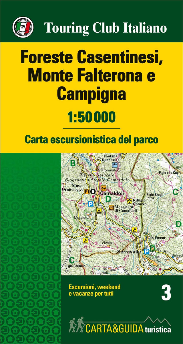
This is a map of the park situated on the Appennines between Tuscany and Emilia-Romagna. Marked walking itineraries within the park are highlighted in different colours, contour lines are given at 50 metre intervals, tourist facilities are all clearly given. On the reverse a wealth of information ranging from wildlife in the Park to local
Cilento, Vallo di Diano and Alburni TCI Map & Guide
Gargano – Isole Tremiti TCI Map & Guide
Turin TCI Pocket Plan
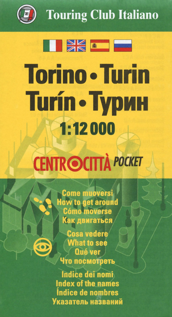
Central Turin street plan on light, waterproof and tear-resistant pocket map with Touring Club Italiano’s excellent, clear cartography; indexed, with a diagram of the metro network, information about main sights, useful addresses, etc.The plan, printed on light, waterproof and tear resistant plastic paper, has clear, elegant cartography. An inset extends the coverage further south to
Verona TCI Street Plan
Verona in a series of light, waterproof and tear-resistent street plans of Italian cities from Touring Club Italiano with clear, elegant cartography and subtle colouring which make the plans particularly easy to read. Detailed road map of the city’s environs at 1:125,000 is included.The plan covers Verona with its outer suburbs, extending south to just
Turin TCI Street Plan
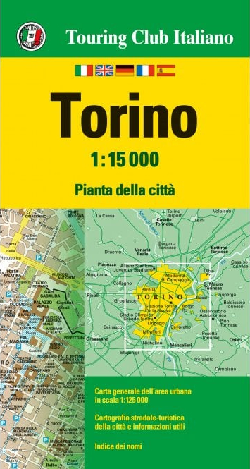
Turin in a series of street plans of Italian cities from Touring Club Italiano, with exceptionally clear and beautiful cartography. The plan is printed on very light, waterproof and tear-resistant plastic paper and includes a detailed road map of the city’s environs at 1:125,000.The plan covers Turin with the outer suburbs. Main traffic arteries across
Padua TCI Street Plan

Padua in a series of street plans of Italian cities from Touring Club Italiano, with exceptionally clear and beautiful cartography. The plan is printed on very light, waterproof and tear-resistant plastic paper and includes a detailed road map of the city’s environs at 1:90,000.The plan covers Padua with the outer suburbs. Main traffic arteries across
Walking in Calabria – Guide and Travel notebook
Southern Italy – Sardinia – Sicily TCI 400K Road and Tourist Map
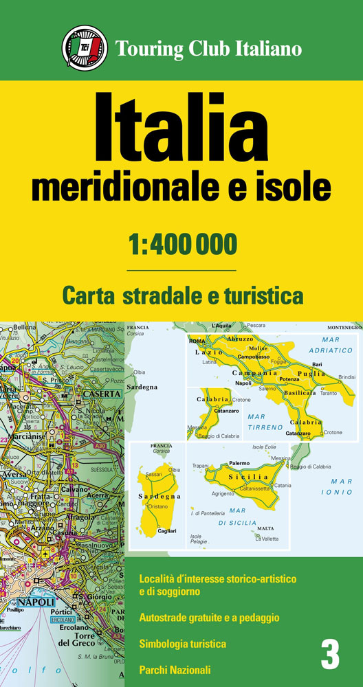
Southern Italy – Sardinia – Sicily at 1:400,000 from the Touring Club Italiano, printed on light, waterproof and tear-resistant plastic paper; one of the titles in a series of three touring maps conveniently grouping together several popular holiday areas. The maps very effectively present the country’s topography with attractive altitude colouring, supplemented by names of
Italy North – Central TCI 500K Road Map
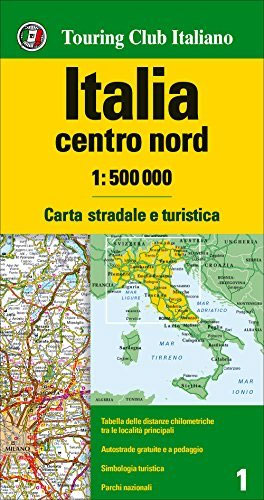
Northern and central Italy up to Rome presented at 1:500,000 by the Touring Club Italiano on a double-sided map designed to stress the network of motorways and main connecting routes. The map highlights numerous scenic roads and the country’s national parks. Coverage, with a good overlap and Bologna on both sides, extends south to include
Florence TCI Street Plan

Florence on a light, waterproof and tear-resistant street plan from Touring Club Italiano, with the city’s historic heart shown at 1:6,500, plus a road map of the environs. Clear, elegant cartography and subtle colouring make TCI plans particularly easy to read. The main plan at 1:12,500 covers Florence with its outer suburbs, from Fiesole in
Italy South TCI 500K Road Map
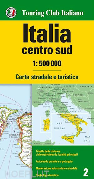
Southern Italy at 1:500,000 from the TCI on a double-sided map printed on light, waterproof and tear-resistant plastic paper. Designed to stress the network of motorways and main connecting routes, the map also highlights numerous scenic roads and the country’s national parks. Coverage extends south from Rome and includes Sicily and Sardinia.Plain white base without
Dolomites TCI Smart Map
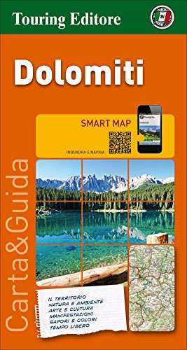
The Dolomites Smart Map at 1:200,000 from the Touring Club Italiano, printed on light waterproof and tear-resistant synthetic paper, with street plans of central Bolzano and Trento annotated with main sights, plus 16 more recommendations of places worth visiting. Coverage extends from Brunico south beyond Trento, Feltre and Belluno; and west/east roughly from the Gruppo
Padua TCI Pocket Plan
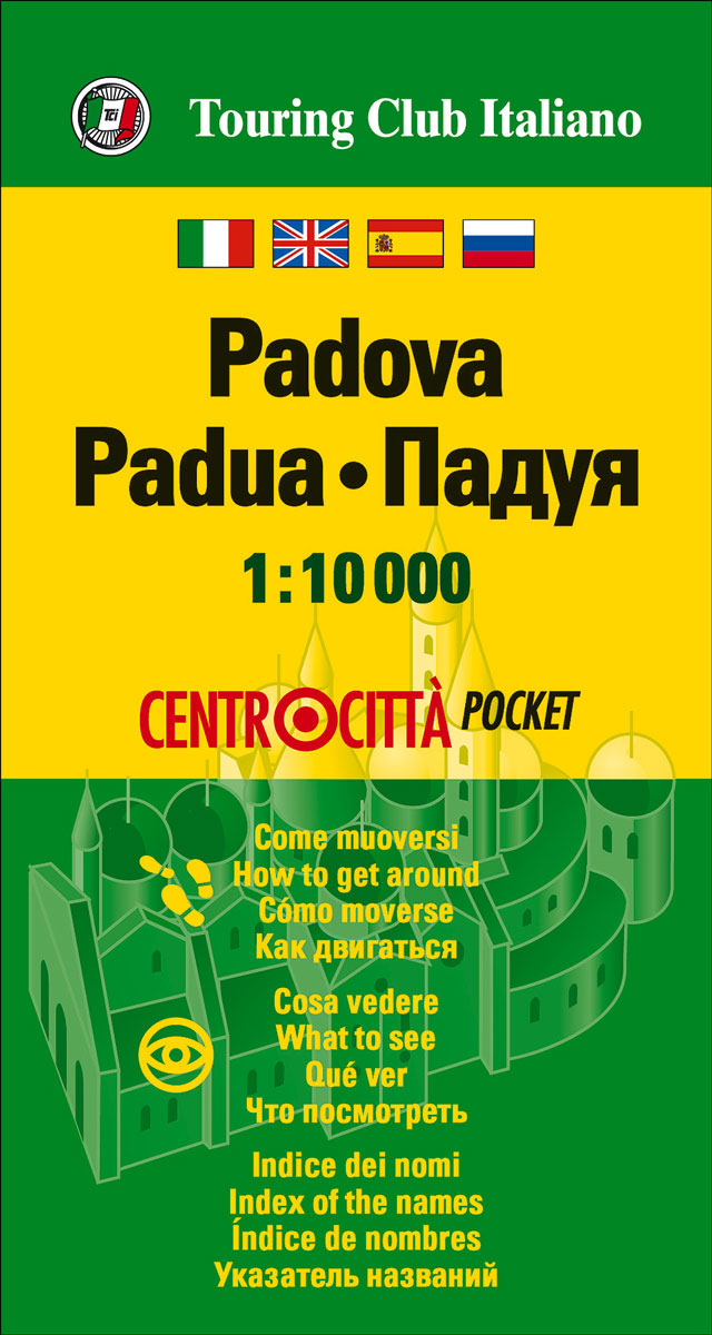
Central Padua street plan on light, waterproof and tear-resistant pocket map with Touring Club Italiano’s excellent, clear cartography; indexed, with a diagram of the tram and bus network, information about main sights, useful addresses, etc.The plan, printed on light, waterproof and tear resistant plastic paper, has clear, elegant cartography. Main traffic arteries are highlighted, but
Genoa TCI Pocket Plan
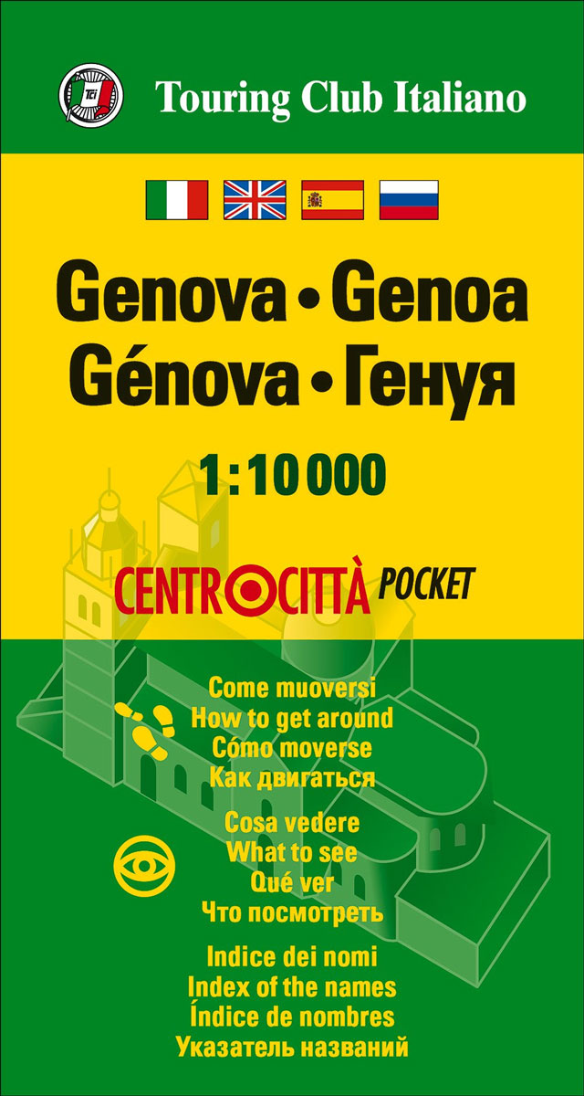
Central Genoa street plan on light, waterproof and tear-resistant pocket map with Touring Club Italiano’s excellent, clear cartography; indexed, with a diagram of the metro network, information about main sights, useful addresses, etc.The plan, printed on light, waterproof and tear resistant plastic paper, has clear, elegant cartography. Main traffic arteries are highlighted, but one way
Palermo TCI Pocket Plan
Central Palermo street plan on light, waterproof and tear-resistant pocket map with Touring Club Italiano’s excellent, clear cartography; indexed, with a diagram of the metro network, information about main sights, useful addresses, etc.The plan, printed on light, waterproof and tear resistant plastic paper, has clear, elegant cartography. Main traffic arteries are highlighted, but one way
Emilia-Romagna TCI Regional 06

Emilia-Romagna in Touring Club Italiano’s series of regional road maps of Italy at 1:200,000, used by millions of locals and tourists alike and always among Stanford’s perennial best-sellers. Coverage extends from Cremona, Mantua and Chioggia southwards to Pisa, Florence and Urbino, and includes Bologna, Piacenza, Parma, Modena, Ferrara, La Spezia and the eastern part of
Lazio TCI Regional 10
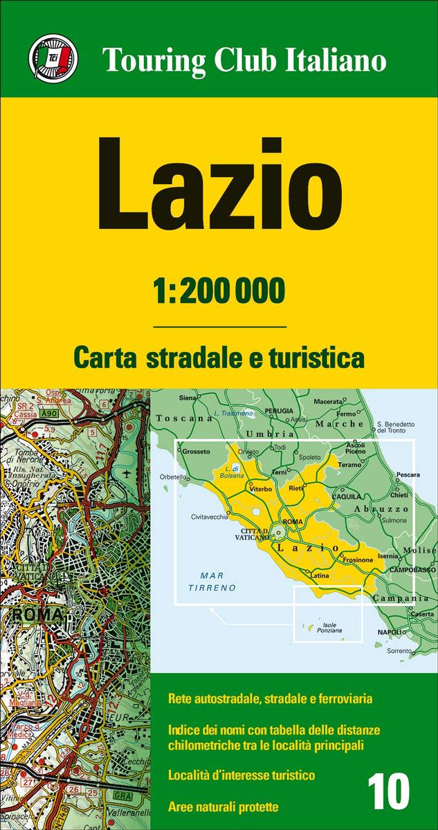
Lazio in Touring Club Italiano’s series of regional road maps of Italy at 1:200,000, used by millions of locals and tourists alike and always among Stanford’s perennial best-sellers. Coverage extends from Grosseto in the north-west, Orvieto, Spoleto and Teramo southwards to Gaeta, and eastwards to Pescara and Isernia, and includes Colli Albani with Castel Gandolfo,


