Category Archives: Maps
Trentino – Alto Adige TCI Regional 03

Trentino – Alto Adige region of Italy in Touring Club Italiano’s series of regional road maps at 1:200,000, used by millions of locals and tourists alike and always among Stanford’s perennial best-sellers. Coverage extends from the Austrian border southwards to the A4 (La Serenissima) motorway linking Brescia, Lake Garda, Verona, Vicenza and Padua with Venica,
Appennino Parmense – Alta Lunigiana Edizioni Multigraphic 9
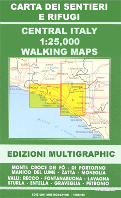
Appennino Parmense – Alta Lunigiana: Bedonia – Pontremoli, map no. 9, in a series of walking maps covering the Ligurian Alps and the coast, the crest of the Apennines along the border of Tuscany with its neighbouring regions, and parts of Tuscany itself. Most maps have contours at 25-metre intervals, with colouring for forests and
Palermo TCI Street Plan
Palermo in a series of street plans of Italian cities from Touring Club Italiano, with exceptionally clear and beautiful cartography. The plan is printed on very light, waterproof and tear-resistant plastic paper and includes a detailed road map of the city’s environs at 1:100,000.The plan covers Palermo with the outer suburbs. Main traffic arteries across
Japan, Light and Shadows in the land of the Rising Sun

With one eye toward the future and one looking to the past, Japan is a world of striking contrasts that translate dramatically to the medium of photography. Edgy and multidimensional, this stunning photo essay was born of several years` research by a pair of accomplished documentarians with a keen sensibility for style and social behavior.
A Journey Back in Time Through Maps
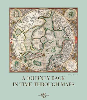
In our modern day and age, when satellite imagery and GPS services like Google Maps, offer strikingly accurate images of the world, we can easily forget that for most of human history the world was an unknown tabula rasa on which cartographers, scientists, men of god, and kings imprinted their own dreams and ideals. In
Great Explorers Atlas

Since the beginning of time, man has felt the need to travel and explore more of the world around him. Some of these expeditions have become fundamental stages in the history of humankind. Little is known, however, of what led certain courageous men to leave, set sail or join wandering caravans, challenging the unknown to
City Atlas

You can travel the world in many ways, by plane, by ship or even in a hot-air balloon, they are all fascinating. You can also travel using the pages of this book, rich with unique maps, details of monuments and buildings in the most spectacular cities: London, Paris, New York and many other metropolis scattered
The Atlas of Classic Tales
Arab. Bedouin of the Syrian

Bedouins, who refer to themselves simply as Arabs (originally, Arab was synonymous with Bedouin), are nomads who live in the desert, mainly on the Arabian Peninsula, raising sheep, camels and goats. Unencumbered by excessive possessions, and without most amenities, including electricity and running water, they pursue their lives in peace, practicing an ethic of mutual
Kenro Izu: Territories of the Soul

Conceived as a retrospective, this book illustrates Kenro Izus refined artistic research and the work that for over thirty years he has been carrying out, like a tireless pilgrim, in the worlds most evocative holy sites: from the Egyptian pyramids and the ancient stones of Stonehenge to the site of Angkor Wat in Cambodia, from
Venice TCI Street Plan
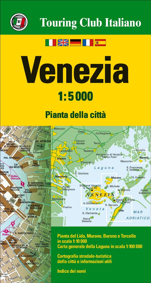
Venice on a light, detailed street plan from Touring Club Italiano, the best choice for any visitor who wants to escape beyond the main tourist areas for long walks across the city which invariably require constant reference to a good map. Elegant cartography and subtle colouring make this plan particularly easy to read. The main
Veneto – Friuli-Venezia Giulia TCI Regional 04

Veneto and Friuli Venezia Giulia region in Touring Club Italiano’s series of regional road maps of Italy at 1:200,000, used by millions of locals and tourists alike and always among Stanford’s perennial best-sellers. Coverage extends from Lake Garda to Trieste and from Merano southwards to Ferrara, and includes Bolzano, Cortina d’Ampezzo, Trento, Belluno, Udine, Treviso,
Venice TCI Pocket Plan
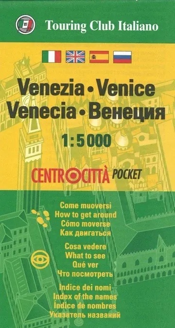
Venice street pocket map with Touring Club Italiano’s excellent, clear cartography; indexed, with a diagram of the vaporetto network, information about main sights, useful addresses, etc.The plan, printed on light, waterproof and tear resistant plastic paper, has clear, elegant cartography. Coverage does not include the area east of the Arsenale (i.e. no Biennale grounds), Giudecca
Italy TCI Road Atlas
Italy Road Atlas 2018 edition at 1:200,000 with Touring Club Italiano’s superb cartography and presentation, including 18 enlargements for metropolitan areas, 119 street plans with lists of important buildings, and an index with over 50,000 entries. This new 2018 edition also includes a QR code for downloading on your smartphone TCI’s recommendations for 8,300 places
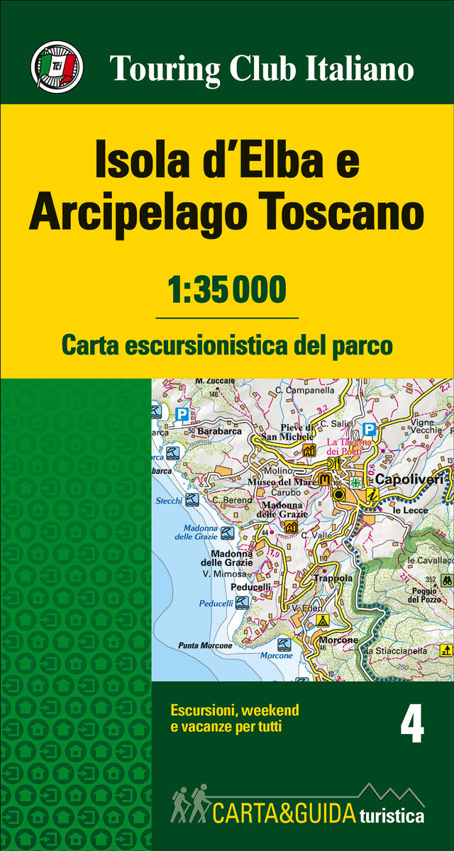
Elba – Tuscan Archipelago TCI Map & Guide
Milan TCI Street Plan
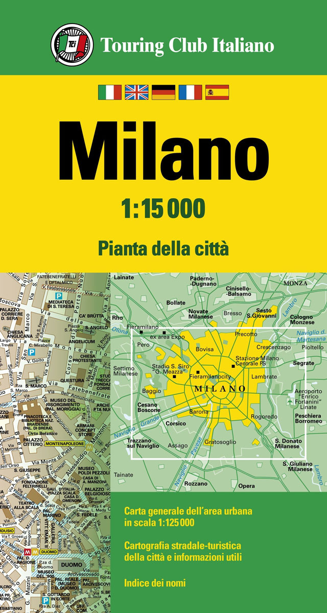
Milan at 1:15,000 on an indexed street plan from Touring Club Italiano, printed on light, waterproof and tear-resistant plastic paper, with an inset showing a road map of the city’s environs at 1:125,000. Clear, elegant cartography and subtle colouring make TCI plans particularly easy to read. The plan covers most of the city within its
Cinque Terre TCI Map & Guide
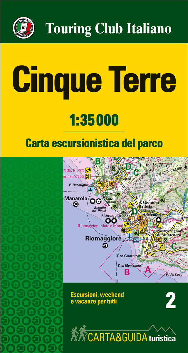
Map and guide to discover and visit the Cinque Terre National Park, a World Heritage Site. With its overhanging shores, bays and small beaches, thousands of kilometers of dry stone walls surrounding the terraces where vineyards are cultivated and its scenic trails, its natural features are extraordinary.
Foreste Casentinesi – Monte Falterona and Campigna TCI Map & Guide
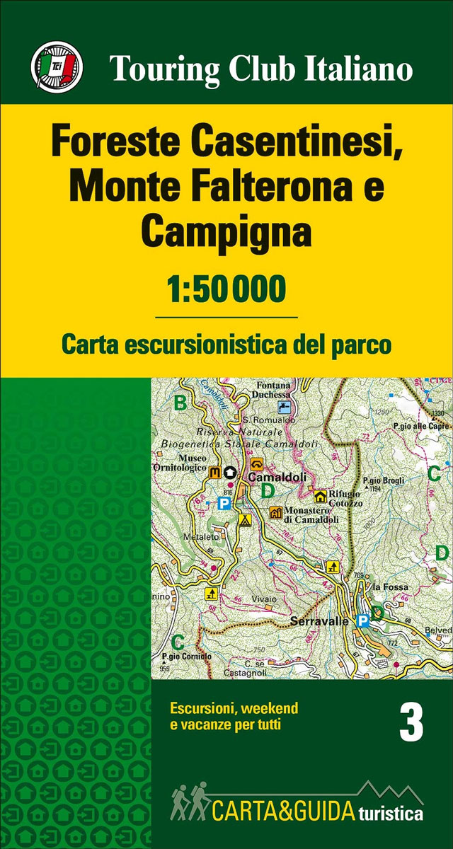
This is a map of the park situated on the Appennines between Tuscany and Emilia-Romagna. Marked walking itineraries within the park are highlighted in different colours, contour lines are given at 50 metre intervals, tourist facilities are all clearly given. On the reverse a wealth of information ranging from wildlife in the Park to local


