Category Archives: Maps
Appennino Bolognese e Pistoiese Edizioni Multigraphic 21
Appennino Bolognese e Pistoiese, map no. 21, in a series of walking maps covering the Ligurian Alps and the coast, the crest of the Apennines along the border of Tuscany with its neighbouring regions, and parts of Tuscany itself. Most maps have contours at 25-metre intervals, with colouring for forests and some relief shading. The
Imperia – San Remo – Ventimiglia Edizioni Multigraphic 111/112

Imperia – San Remo – Ventimiglia, map no. 111/112, in a series of walking maps covering the Ligurian Alps and the coast, the crest of the Apennines along the border of Tuscany with its neighbouring regions, and parts of Tuscany itself. Most maps have contours at 25-metre intervals, with colouring for forests and some relief
Appennino Bolognese e Pratese Edizioni Multigraphic 23
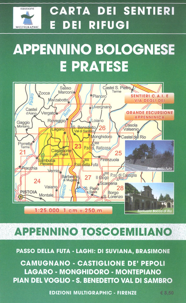
Appennino Bolognese e Pratese, map no. 24, in a series of walking maps covering the Ligurian Alps and the coast, the crest of the Apennines along the border of Tuscany with its neighbouring regions, and parts of Tuscany itself. Most maps have contours at 25-metre intervals, with colouring for forests and some relief shading. The
Alto Mugello – Appennino Bolognese Edizione Multigraphic 25

Alto Mugello, map no. 25, in a series of walking maps covering the Ligurian Alps and the coast, the crest of the Apennines along the border of Tuscany with its neighbouring regions, and parts of Tuscany itself. Most maps have contours at 25-metre intervals, with colouring for forests and some relief shading. The cartography is
Florence – Mugello – Lago di Bilancino 25K Ed. Multigraphic Map No. 27

Florence – Mugello – Lago di Bilancino, map no. 26/27, in a series of walking maps covering the Ligurian Alps and the coast, the crest of the Apennines along the border of Tuscany with its neighbouring regions, and parts of Tuscany itself. Most maps have contours at 25-metre intervals, with colouring for forests and some
Mugello – Val di Sieve – Monte Falterona 25K Ed. Multigraphic Map No. 30

ugello – Val di Sieve – Monte Falterona, map no. 30, in a series of walking maps covering the Ligurian Alps and the coast, the crest of the Apennines along the border of Tuscany with its neighbouring regions, and parts of Tuscany itself. Most maps have contours at 25-metre intervals, with colouring for forests and
Media Valle del Serchio – Garfagnana – Val di Lima Edizioni Multigraphic 20
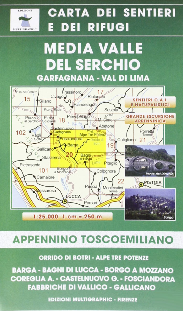
Media Valle del Serchio: Gafragnana – Val di Lima, map no. 20, in a series of walking maps covering the Ligurian Alps and the coast, the crest of the Apennines along the border of Tuscany with its neighbouring regions, and parts of Tuscany itself. Most maps have contours at 25-metre intervals, with colouring for forests
Appennino Cesenate – Val Tiberina Edizioni Multigraphic 34/36
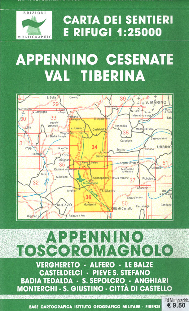
Appennino Cesenate – Val Tiberina, map no. 34/36, in a series of walking maps covering the Ligurian Alps and the coast, the crest of the Apennines along the border of Tuscany with its neighbouring regions, and parts of Tuscany itself. Most maps have contours at 25-metre intervals, with colouring for forests and some relief shading.
Monte Amiata 25K Ed. Multigraphic Map No. 41

Monte Amiata, map no. 41, in a series of walking maps covering the Ligurian Alps and the coast, the crest of the Apennines along the border of Tuscany with its neighbouring regions, and parts of Tuscany itself. Most maps have contours at 25-metre intervals, with colouring for forests and some relief shading. The cartography is
Monti Sibillini National Park Edizioni Multigraphic 60/61

Monti Sibillini National Park at 1:25,000 on a double-sided contoured map from Edizioni Multigraphic highlighting local waymarked hiking routes including the GAS ‘“ Grand Anello dei Sibilini, the circular tour around the mountains.The map has contours at 25m intervals with colouring for woodlands. Waymarked routes are highlighted and annotated with their official numbers. Also marked
Alpi Apuane Edizioni Multigraphic 101/102
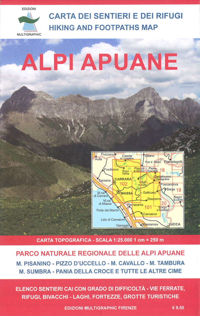
Alpi Apuane, map no.101/102, in a series of walking maps covering the Ligurian Alps and the coast, the crest of the Apennines along the border of Tuscany with its neighbouring regions, and parts of Tuscany itself. Most maps have contours at 25-metre intervals, with colouring for forests and some relief shading. The cartography is rather
Apulia / Puglia TCI Regional 11

Puglia (Apulia) in Touring Club Italiano’s series of regional road maps of Italy at 1:200,000, used by millions of locals and tourists alike and always among Stanford’s perennial best-sellers. Coverage extends along the Adriatic from Tรฉrmoli and the Gargano Peninsula to the ‘heal’ of Italy, and westwards to the Parco Regionale dei Monti Picentini, and
Genoa – Varazze 25K Ed. Multigraphic Map No. 3/4

Genoa – Varazze, map no. 3/4, in a series of walking maps covering the Ligurian Alps and the coast, the crest of the Apennines along the border of Tuscany with its neighbouring regions, and parts of Tuscany itself. Most maps have contours at 25-metre intervals, with colouring for forests and some relief shading. The cartography
Sicily TCI Regional 14

Sicily in Touring Club Italiano’s series of regional road maps of Italy at 1:200,000, used by millions of locals and tourists alike and always among Stanford’s perennial best-sellers. The island is presented on two generously overlapping panels. Coverage includes the tip of the mainland showing the ferry connections from Reggio di Calabria to Messina. Insets
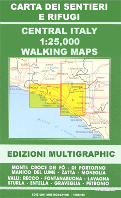
Riviera di Levante – Portofino – Golfo di Tigullio – Golfo Paradiso Edizioni Multigraphic 6

Portofino – Golfo di Tigullio – Golfo Paradiso, map no. 6, in a series of walking maps covering the Ligurian Alps and the coast, the crest of the Apennines along the border of Tuscany with its neighbouring regions, and parts of Tuscany itself. Most maps have contours at 25-metre intervals, with colouring for forests and
Trentino – Alto Adige TCI Regional 03

Trentino – Alto Adige region of Italy in Touring Club Italiano’s series of regional road maps at 1:200,000, used by millions of locals and tourists alike and always among Stanford’s perennial best-sellers. Coverage extends from the Austrian border southwards to the A4 (La Serenissima) motorway linking Brescia, Lake Garda, Verona, Vicenza and Padua with Venica,
Appennino Parmense – Alta Lunigiana Edizioni Multigraphic 9

Appennino Parmense – Alta Lunigiana: Bedonia – Pontremoli, map no. 9, in a series of walking maps covering the Ligurian Alps and the coast, the crest of the Apennines along the border of Tuscany with its neighbouring regions, and parts of Tuscany itself. Most maps have contours at 25-metre intervals, with colouring for forests and
Palermo TCI Street Plan
Palermo in a series of street plans of Italian cities from Touring Club Italiano, with exceptionally clear and beautiful cartography. The plan is printed on very light, waterproof and tear-resistant plastic paper and includes a detailed road map of the city’s environs at 1:100,000.The plan covers Palermo with the outer suburbs. Main traffic arteries across
Japan, Light and Shadows in the land of the Rising Sun

With one eye toward the future and one looking to the past, Japan is a world of striking contrasts that translate dramatically to the medium of photography. Edgy and multidimensional, this stunning photo essay was born of several years` research by a pair of accomplished documentarians with a keen sensibility for style and social behavior.
A Journey Back in Time Through Maps
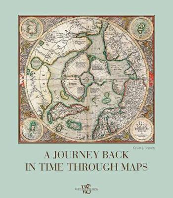
In our modern day and age, when satellite imagery and GPS services like Google Maps, offer strikingly accurate images of the world, we can easily forget that for most of human history the world was an unknown tabula rasa on which cartographers, scientists, men of god, and kings imprinted their own dreams and ideals. In


