Category Archives: Maps
Nyboe Land
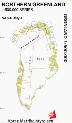
Nyboe Land area in a series covering the northern coast of Greenland at 1:500,000, originally produced by the Danish survey organization Kort & Martikelstyrelsen in April 2000 and now printed by Saga Maps. The maps have contours at 100m intervals with spot heights and indicate areas covered by icecap. Local settlements, research stations, airstrips and
Frederic E. Hyde Fjord

Frederic E. Hyde Fjord area in a series covering the northern coast of Greenland at 1:500,000, originally produced by the Danish survey organization Kort & Martikelstyrelsen in April 2000 and now printed by Saga Maps. The maps have contours at 100m intervals with spot heights and indicate areas covered by icecap. Local settlements, research stations,
Lรผbeck in 3-D Street Plan
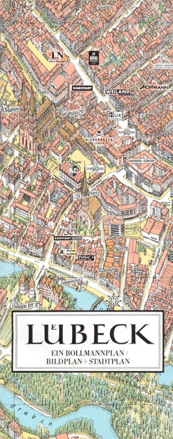
Unusual, very attractive street plan of Lรผbeck offering a bird’s-eye view of the city with every building drawn to scale with full architectural detail, from street arcades to rooftops and inner courtyards. The historic city centre and the surrounding canals and islands, extending out to the main railway station, are all presented in great detail.
China North East
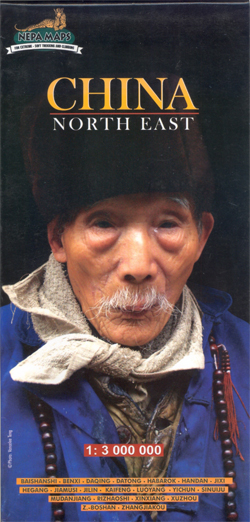
Indexed road map of North Eastern China at 1:3,000,000 from Nepa Maps, covering north to south from Manchuria to Henan, and to the west as far as Qinghai. The major road network is shown clearly, as are railway lines and airports. Topography is shown through subtle use of shading and spot heights.International and administrative boundaries
Rothenburg ob der Tauber in 3-D Street Plan
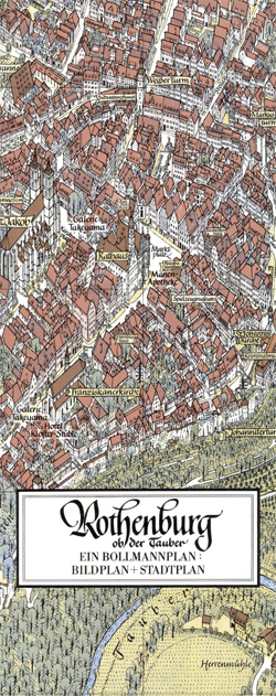
Unusual, very attractive street plan of Rothenburg ob der Tauber, Germany`s most visited small town, offering a bird’s-eye view of its historic centre with every building drawn to scale with full architectural detail, from street arcades to rooftops and inner courtyards. The plan, drawn in 2008, covers the old town within the city walls and
World Maps International Political Wall Map SMALL PIN-BOARD FRAMED without flags
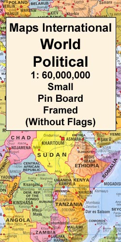
Smaller version of the framed and mounted on pin board, small political map of the world from Maps International, with its size reduced to 70 x 45cm (28″ x 17″ approx.) by removing the decorative panel of flags under the map. Countries are shown in bright vivid colours against light blue oceans. Country names are
Kangaertertivarmiit – Kangertivat – Nordvest Fjord – Stauning Alps
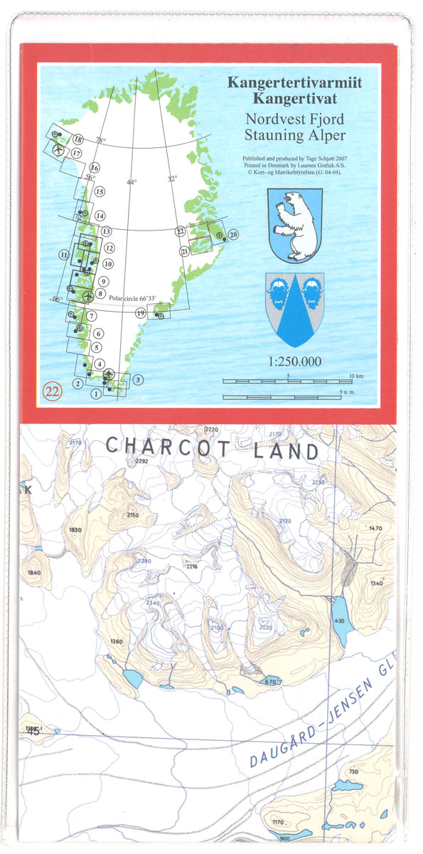
Topographic survey of Greenland at 1:250,000 from Sagamaps in a series which along the western coast extends past Thule to the latitude of 78ยฐ, plus covers selected areas of the east coast including the Stauning Alps. Relief is shown by contours at 50m intervals, augmented by frequent spot heights. Main peaks are named, along with
World Maps International Political Wall Map LARGE PIN-BOARD FRAMED without flags
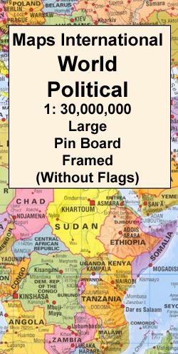
Smaller version of the framed and mounted on pin board, large political map of the world from Maps International, with its size reduced to 136 x 86cm (4ft 5’’ x 2ft 10″ approx.) by removing the decorative panel of flags under the map. Countries are shown in bright vivid colours against light blue oceans. Country
Qaanaaq – Thule
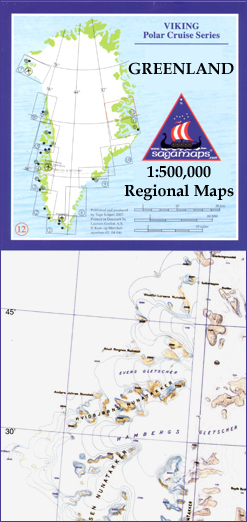
One of the titles in a series of contoured physical maps covering the coastal areas of Greenland. The maps have the same cartography as the 1:250,000 series by this publisher, reproduced here at half the original scale. The reduction means that some place names, symbols and fine detail are harder to read than on the
Ilimananngip – Milneland
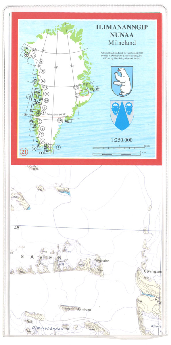
Topographic survey of Greenland at 1:250,000 from Sagamaps in a series which along the western coast extends past Thule to the latitude of 78ยฐ, plus covers selected areas of the east coast including the Stauning Alps. Relief is shown by contours at 50m intervals, augmented by frequent spot heights. Main peaks are named, along with
Kejser Franz Joseph Fjord – Ella ร-Daneborg

One of the titles in a series of contoured physical maps covering the coastal areas of Greenland. The maps have the same cartography as the 1:250,000 series by this publisher, reproduced here at half the original scale. The reduction means that some place names, symbols and fine detail are harder to read than on the
Saqqisikuik – Skjoldungen

One of the titles in a series of contoured physical maps covering the coastal areas of Greenland. The maps have the same cartography as the 1:250,000 series by this publisher, reproduced here at half the original scale. The reduction means that some place names, symbols and fine detail are harder to read than on the
Tasilaq – Angmagssalik

One of the titles in a series of contoured physical maps covering the coastal areas of Greenland. The maps have the same cartography as the 1:250,000 series by this publisher, reproduced here at half the original scale. The reduction means that some place names, symbols and fine detail are harder to read than on the
Sandoy Island (5 map set – Nos. 406/407/505/506/507)
Topographic survey of Faroe Islands at 1:20,000 prepared by the Danish national mapping agency Kort og Matrikelstyrelsen. The islands’ topography is vividly presented by contours at 5 metre intervals, enhanced by relief shading plus colouring and/or graphics for different types of terrain or vegetation (scree, boulders, etc). The maps show all the detail expected of
Suduroy Island (7 map set – Nos. 402/403/404/501/502/503/504)

Topographic survey of Faroe Islands at 1:20,000 prepared by the Danish national mapping agency Kort og Matrikelstyrelsen. The islands’ topography is vividly presented by contours at 5 metre intervals, enhanced by relief shading plus colouring and/or graphics for different types of terrain or vegetation (scree, boulders, etc). The maps show all the detail expected of
Nordoyar Island (8 map set – Nos. 511/512/513/611/612/613/712/713)

Topographic survey of Faroe Islands at 1:20,000 prepared by the Danish national mapping agency Kort og Matrikelstyrelsen. The islands’ topography is vividly presented by contours at 5 metre intervals, enhanced by relief shading plus colouring and/or graphics for different types of terrain or vegetation (scree, boulders, etc). The maps show all the detail expected of
Streymoy Island (11 map set – Nos. 310/311/312/408/409/410/411/412/508/509/510)

Topographic survey of Faroe Islands at 1:20,000 prepared by the Danish national mapping agency Kort og Matrikelstyrelsen. The islands’ topography is vividly presented by contours at 5 metre intervals, enhanced by relief shading plus colouring and/or graphics for different types of terrain or vegetation (scree, boulders, etc). The maps show all the detail expected of
Eysturoy Island (11 map set – Nos. 312/410/411/412/413/510/509/511/512/610/611)

Topographic survey of Faroe Islands at 1:20,000 prepared by the Danish national mapping agency Kort og Matrikelstyrelsen. The islands’ topography is vividly presented by contours at 5 metre intervals, enhanced by relief shading plus colouring and/or graphics for different types of terrain or vegetation (scree, boulders, etc). The maps show all the detail expected of
NGS Executive Political World Wall Map 3-SHEET SET, ENCAPSULATED

Encapsulated version of the extra large, 296 x 193cm (9ft 8″ x 6ft 4″) political map of the world in the NGS Executive series which offers current information presented in elegant antique style. Countries are in rich but muted colours and oceans in beige, with additional panels and framing in shades of brown.An unusual feature
Cologne in 3-D Street Plan

Unusual, very attractive street plan of Cologne offering a bird’s-eye view of the city with every building drawn to scale with full architectural detail, from street arcades to rooftops and inner courtyards. All buildings, including the city’s famous cathedral and other churches, are all presented in great detail. The plan, drawn in 2011, covers Cologne


